Framed Nautical Charts
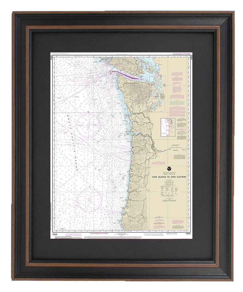
Framed Nautical Chart 18003 - Cape Blanco to Cape Flattery. NOAA 18003. Handmade in the USA.
Framed Nautical Chart 18003 - Cape Blanco to Cape Flattery. NOAA 18003. Handmade in the USA.
Couldn't load pickup availability
Discover the beauty of Oregon's coast with our Framed Nautical Chart, NOAA 18003, which spans the stunning waters from Cape Blanco to Cape Flattery. This official NOAA Nautical Chart provides intricate details of these enchanting waterways, making it a perfect addition to any maritime enthusiast's collection. Each chart is thoughtfully handcrafted in the USA, showcasing our commitment to high-quality craftsmanship.
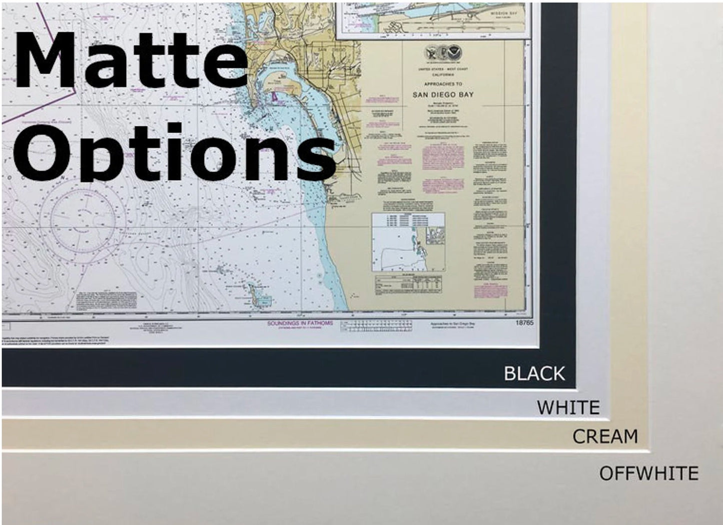
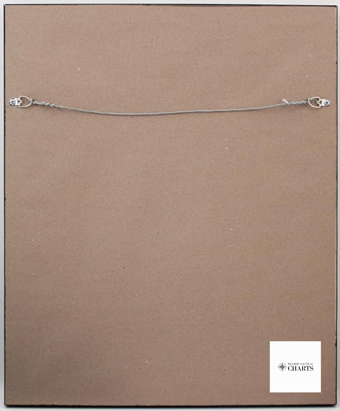
The map comes elegantly presented in a solid wood frame, complemented by a museum-quality print created with archival paper and inks. To enhance its visual appeal, a sleek black mat surrounds the chart, and a glass front protects it, ensuring lasting durability. The back is neatly finished with a paper duster, and a convenient wire hanger is included for easy installation.
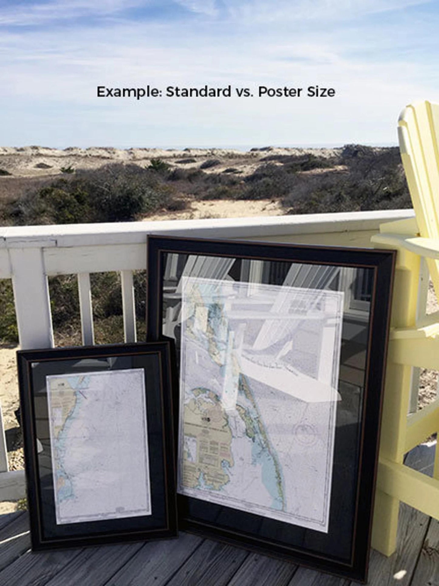
Available in two sizes, you can choose the one that best fits your space:
- Standard size: Outer frame dimensions are approximately 24" H x 18 1/4" W.
- Poster size: Outer frame dimensions are approximately 36" H x 27 1/4" W.
Every frame is constructed with meticulous attention to detail, promising a sophisticated look for any room. Enjoy free ground shipping* within the contiguous 48 states. If you’re interested in a different framing option or have specific customization requests, please reach out to us. We would be delighted to assist you in creating the perfect piece that aligns with your vision.
*Important Shipping Note: Free ground shipping is available only for shipments to the 48 contiguous states. While we do not impose additional shipping costs, we recommend contacting us for a custom shipping quote if you are located in Alaska or Hawaii.
Share