Framed Nautical Charts
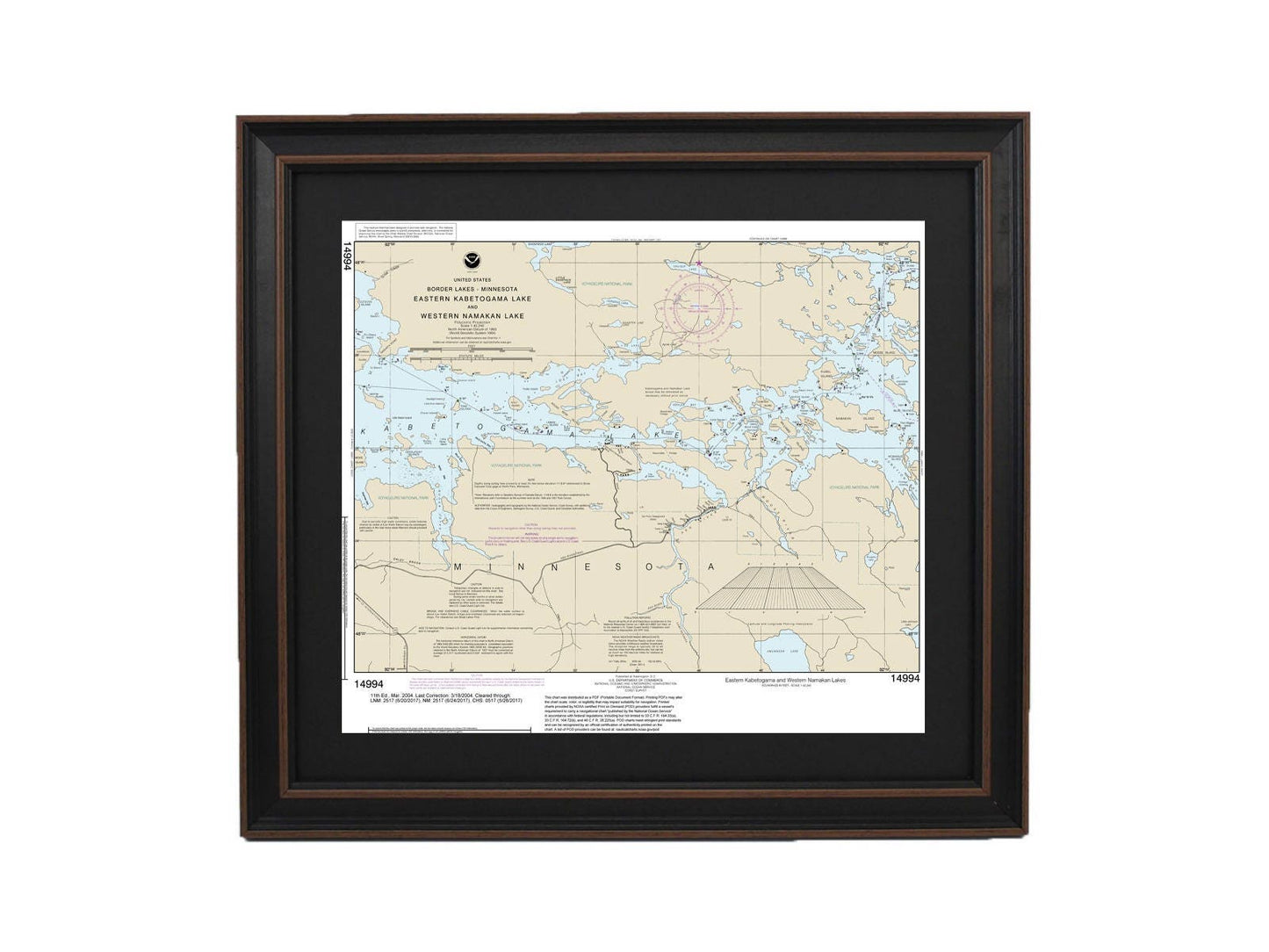
Framed Nautical Chart 14994 - Western Namakan & Eastern Kabetogama Lake, Minnesota. NOAA 14994. Handmade in the USA.
Framed Nautical Chart 14994 - Western Namakan & Eastern Kabetogama Lake, Minnesota. NOAA 14994. Handmade in the USA.
Couldn't load pickup availability
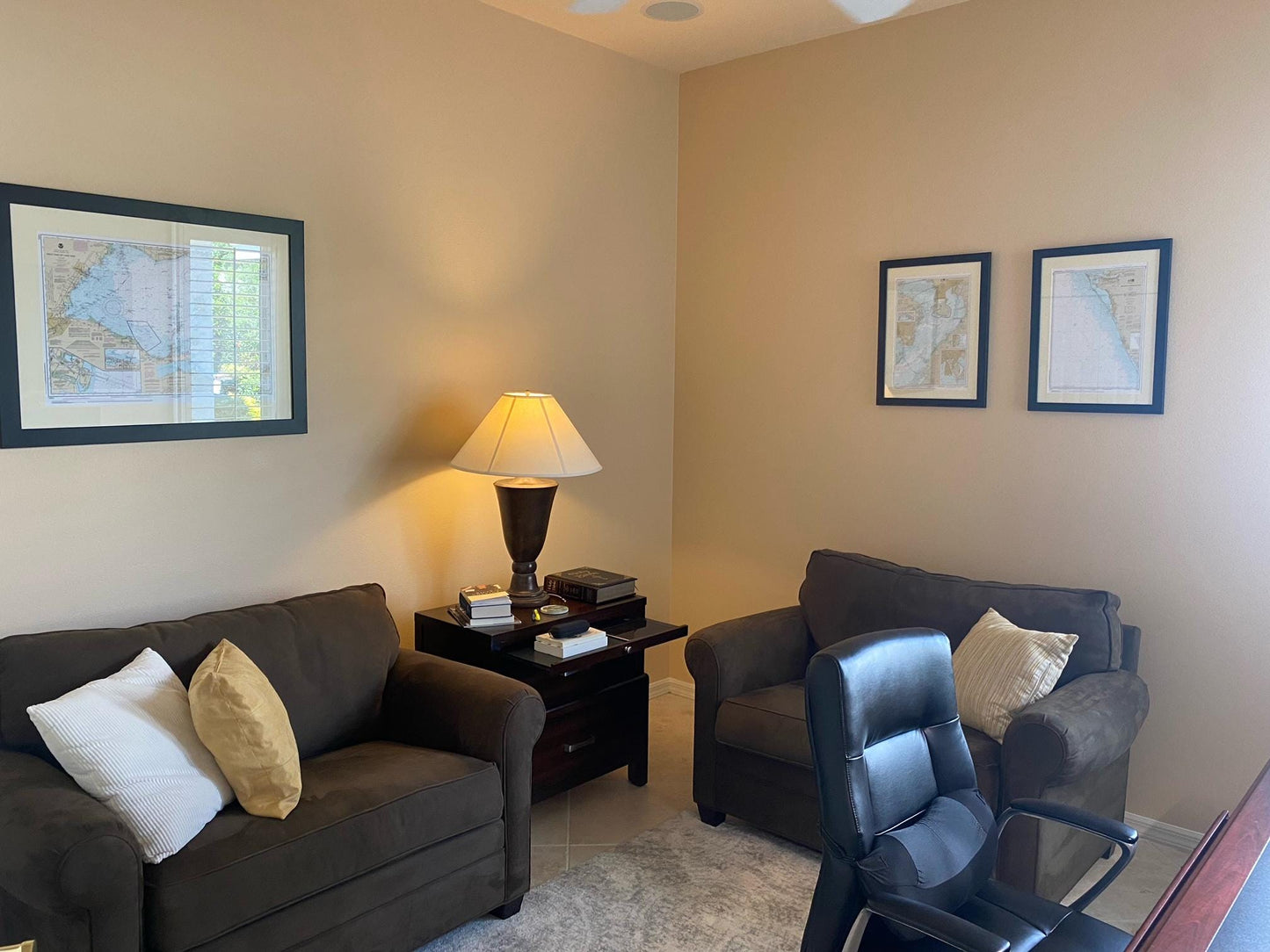
Discover the beauty of the Western Namakan Lake and Eastern Kabetogama Lake in Minnesota with this exquisite Framed Nautical Chart. Officially produced by NOAA, this detailed nautical map captures the stunning waterways of these regions, making it a perfect addition to any home or cabin décor. Each chart is custom handmade in the USA, exemplifying exceptional craftsmanship and attention to detail.
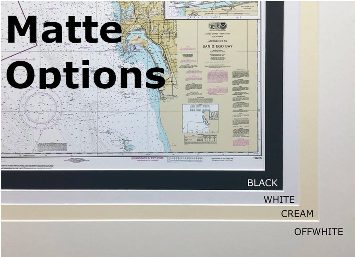
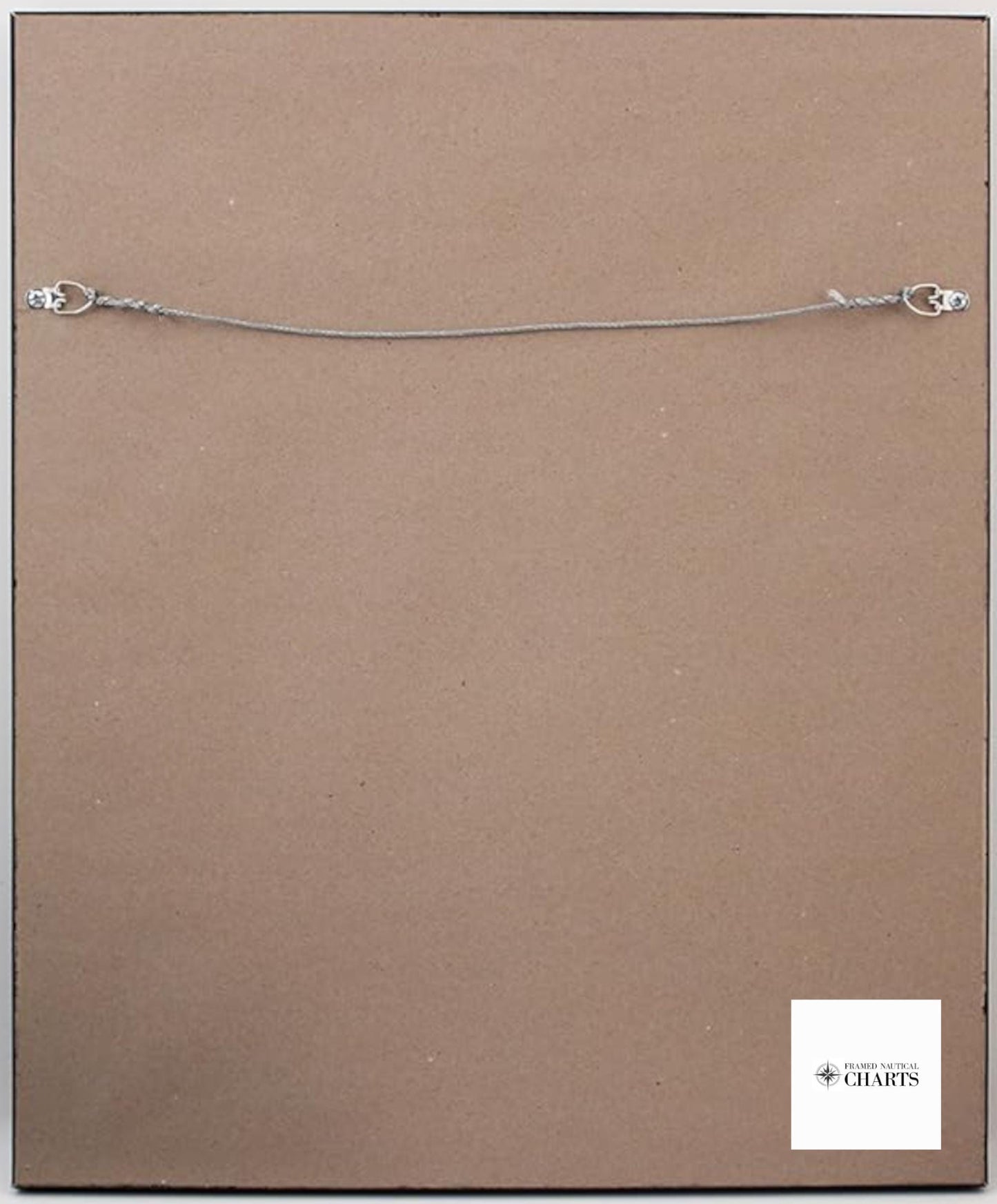
This striking chart is elegantly presented in a solid wood frame and features a museum-quality print crafted from archival paper and inks, ensuring longevity and vibrancy. The design includes a sophisticated black mat and is protected by a glass front for added durability. The back of the frame is finished with a paper duster, and a convenient wire hanger is included for easy installation.
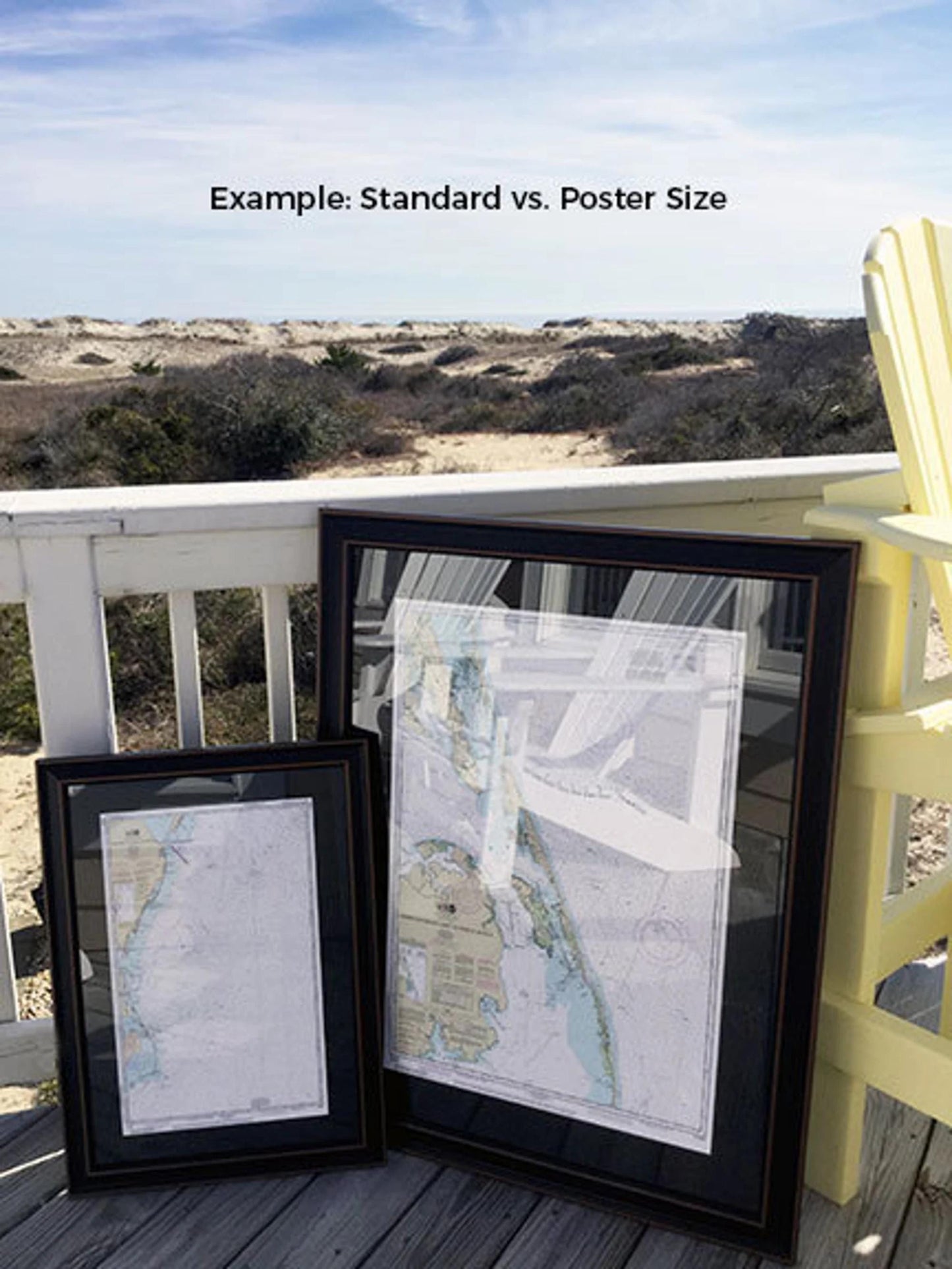
Our charts are available in two sizes:
- Standard size: outer frame dimensions approximately 24" W x 21" H
- Poster size: outer frame dimensions approximately 36" W x 31 1/2" H
If you have a specific frame option in mind or would like to share sample photos to help us create your ideal piece, please feel free to reach out. We are happy to accommodate your vision.
*Important Shipping Note: Free ground shipping is available for deliveries within the 48 contiguous states. We do not inflate shipping costs; however, due to the higher shipping rates to Alaska and Hawaii, please contact us for a customized shipping quote.
Share