Framed Nautical Charts
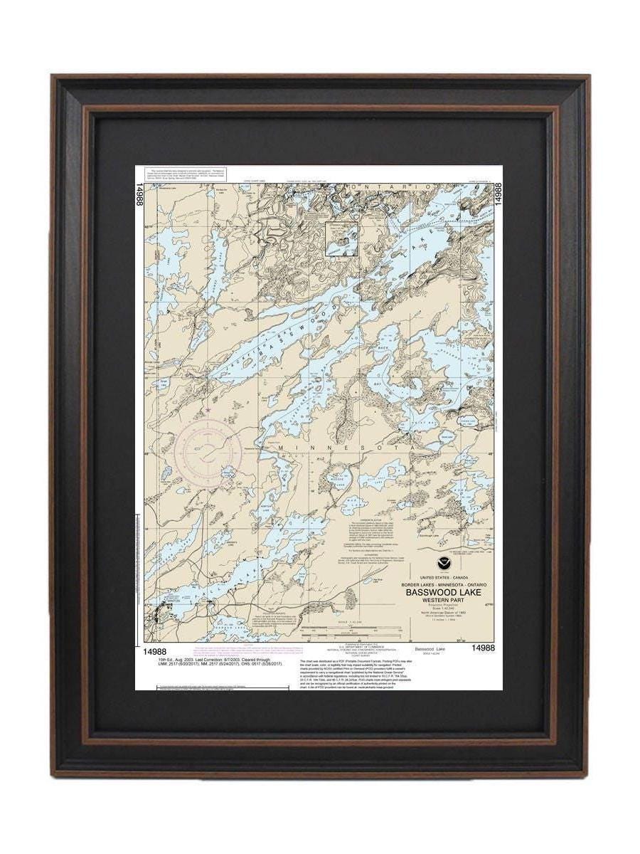
Framed Nautical Chart 14988 - Basswood Lake, Western Part, Minnesota. NOAA 14988. Handmade in the USA.
Framed Nautical Chart 14988 - Basswood Lake, Western Part, Minnesota. NOAA 14988. Handmade in the USA.
Couldn't load pickup availability
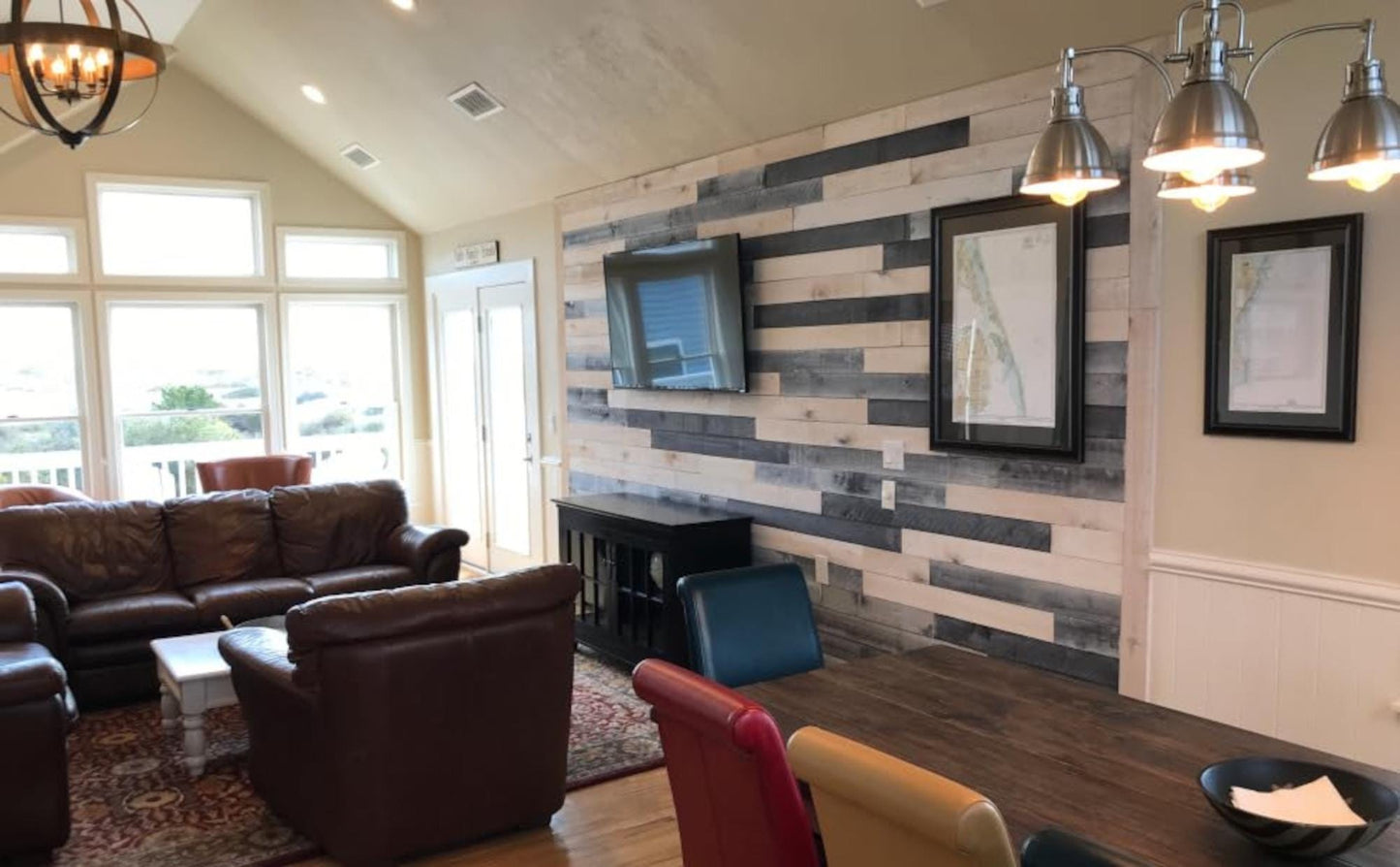
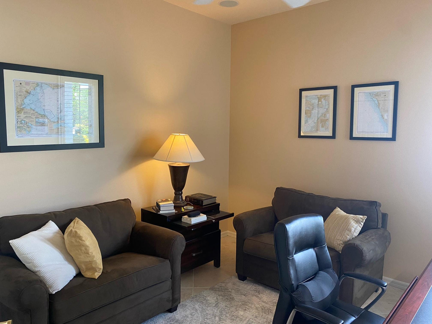
Discover the beauty of Basswood Lake in Minnesota with this stunning Framed Nautical Map. This official NOAA Nautical Chart meticulously details the serene waters of the western part of Basswood Lake, making it an ideal addition for boating enthusiasts, nature lovers, or anyone who appreciates the rich geography of the area.
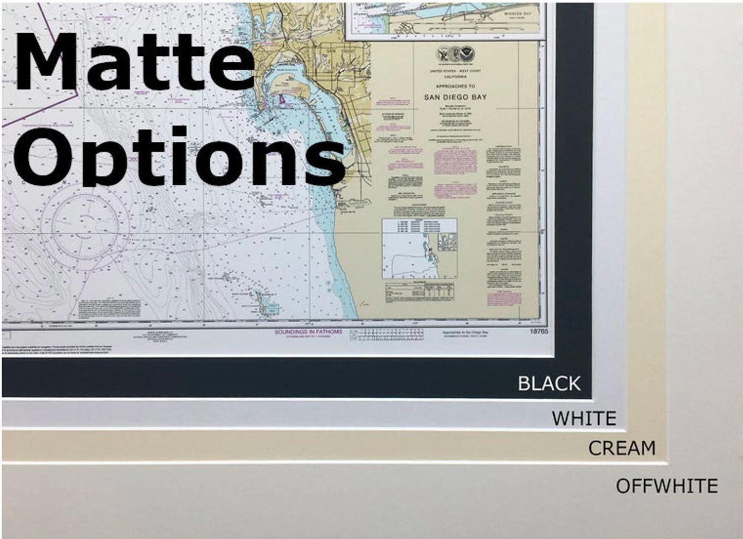
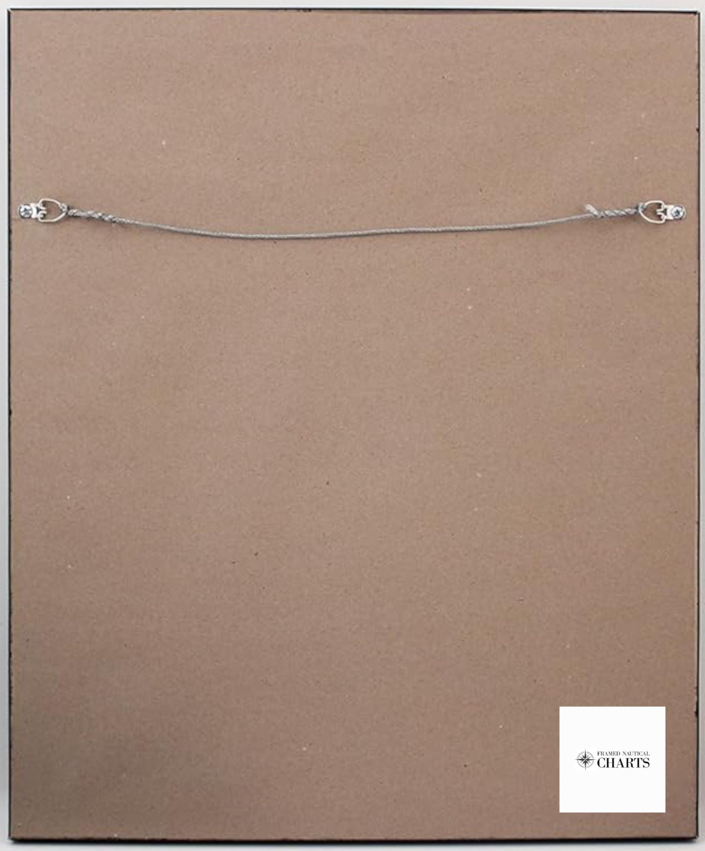
Each chart is custom handcrafted in the USA, showcasing exceptional craftsmanship. The map is elegantly displayed in a solid wood frame, complemented by a museum-quality print made from archival paper and inks that ensure longevity. A sophisticated black mat enhances the visual appeal, while the glass front protects the chart from dust and damage. The back of the frame is finished with a paper duster for a polished look, and a convenient wire hanger is included for easy installation.
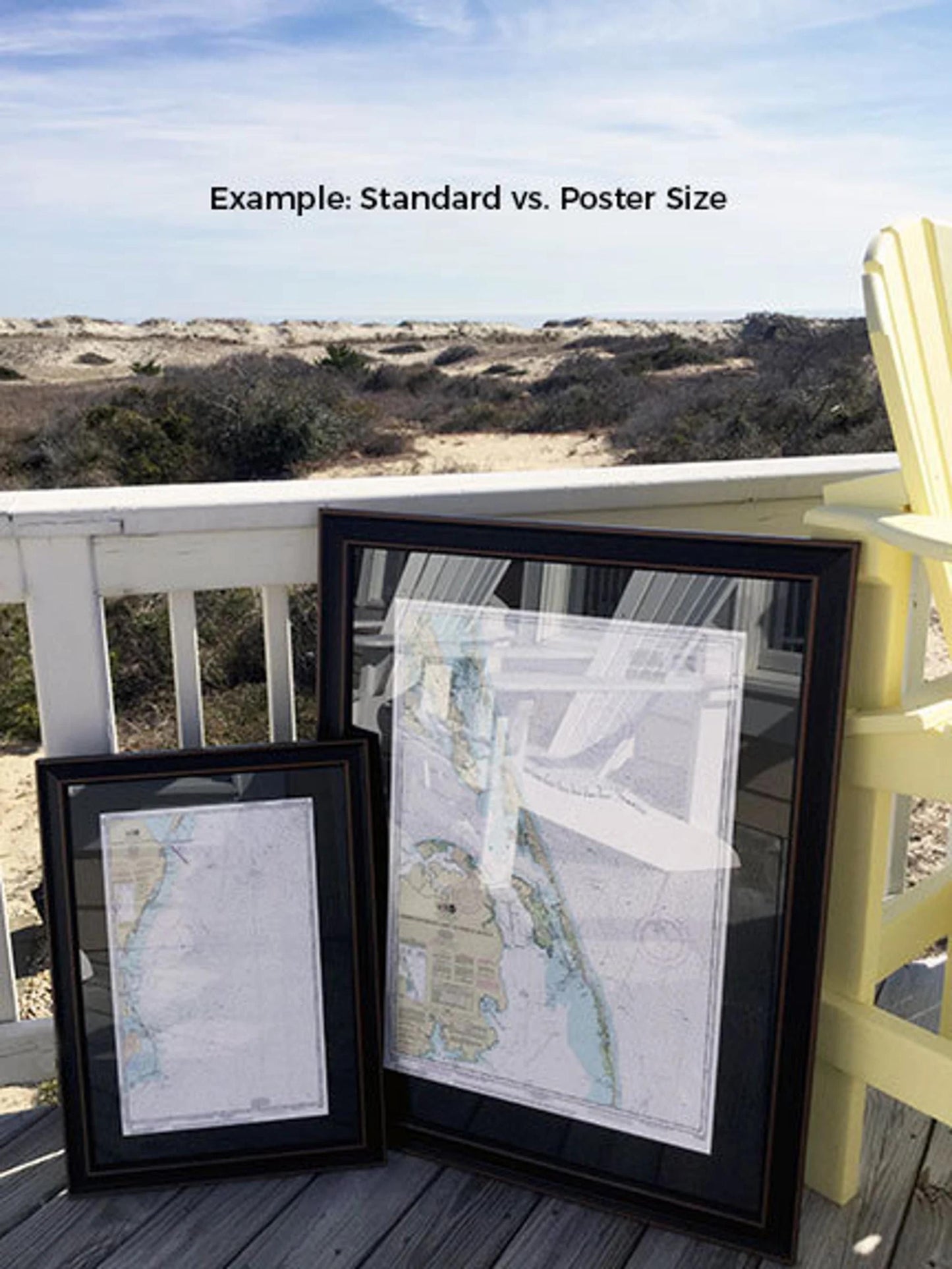
Choose from two sizes to fit your space perfectly:
- Standard size: Outer frame dimensions approximately 16 3/4" W x 24" H
- Poster size: Outer frame dimensions approximately 25 1/4" W x 36" H
If you have a specific frame style in mind, we encourage you to reach out with your request. We happily welcome any sample photos to help us bring your vision to life.
*Important Shipping Note: We offer free ground shipping for orders within the 48 contiguous states. While we don’t inflate shipping costs, please contact us for custom shipping quotes to Alaska and Hawaii, where rates can be significantly higher. Embrace the charm of Basswood Lake with this exquisite framed nautical chart today!
Share