Framed Nautical Charts
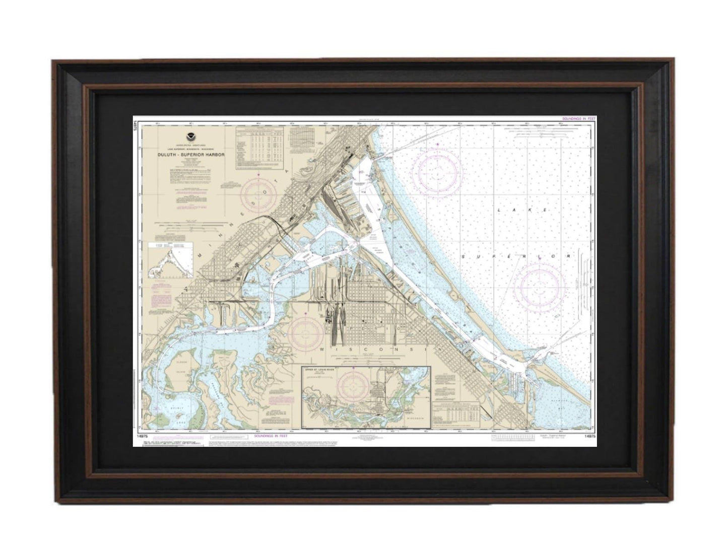
Framed Nautical Chart 14975 - Duluth-Superior Harbor, Lake Superior. NOAA 14975. Handmade in the USA.
Framed Nautical Chart 14975 - Duluth-Superior Harbor, Lake Superior. NOAA 14975. Handmade in the USA.
Couldn't load pickup availability
Discover the charm of the Duluth-Superior Harbor with our meticulously crafted framed nautical map. This stunning chart, designated NOAA 14975, details the enchanting waters of the Upper St. Louis River and Lake Superior, offering both beauty and functionality. Each map is custom handmade in the USA, reflecting our commitment to high standards of craftsmanship.
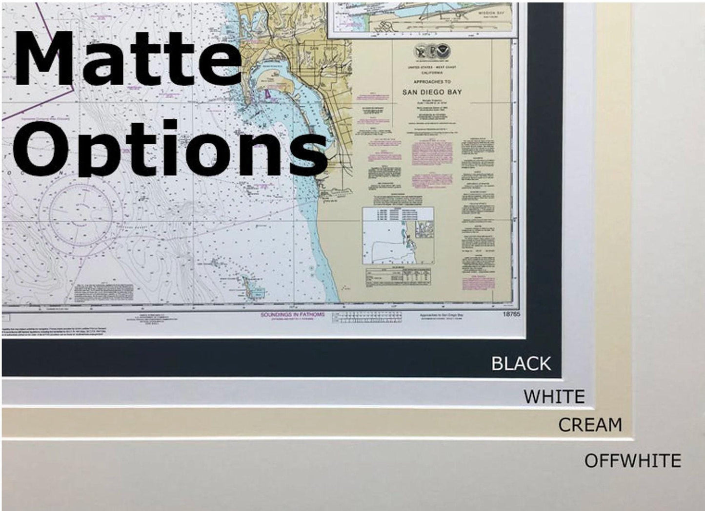
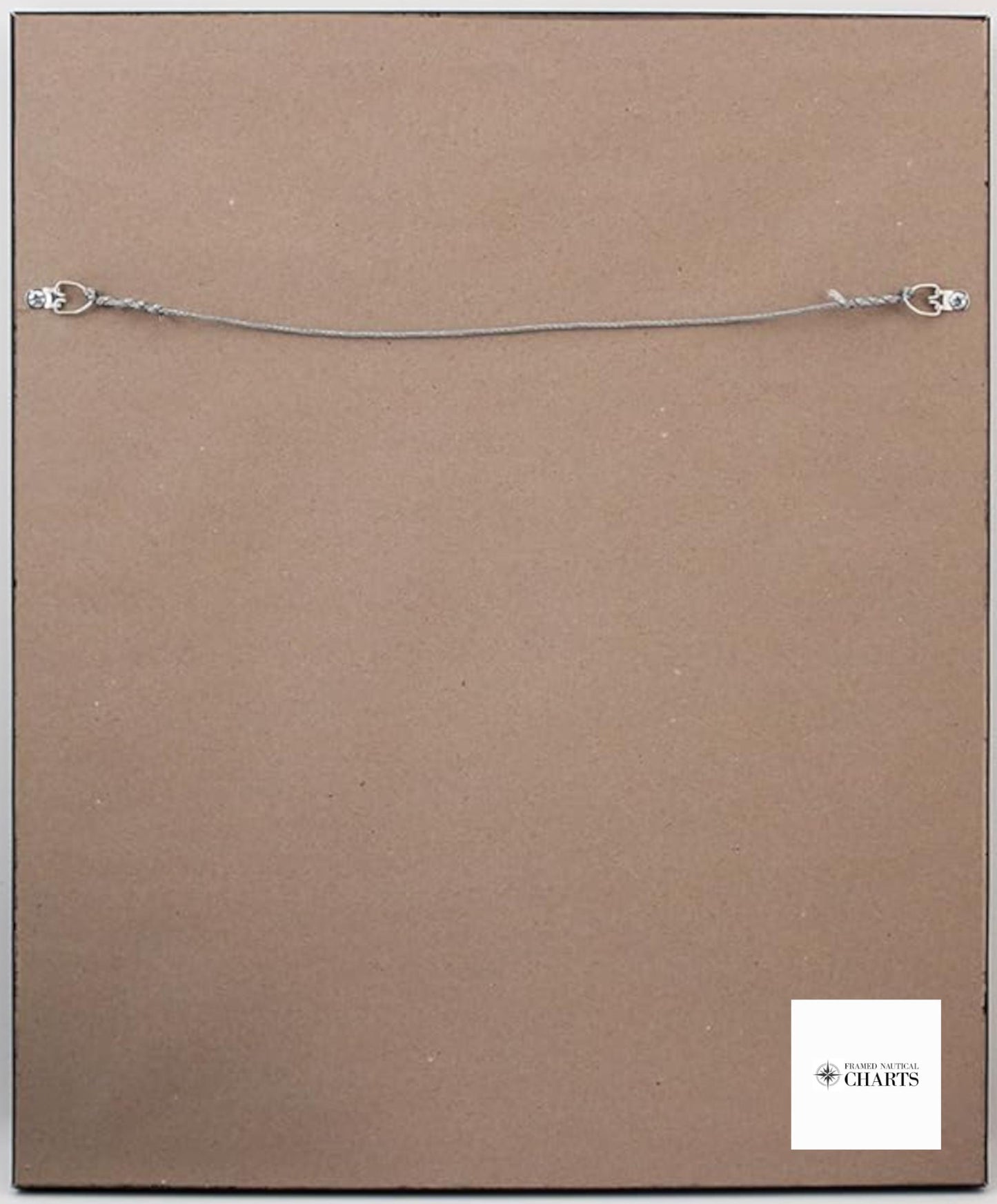
The chart is elegantly presented in a solid wood frame, showcasing a museum-quality print created from archival paper and inks that ensure durability and vibrant colors. It features a sophisticated black mat and is protected by a glass front, providing an added layer of elegance and safeguarding the artwork. The back is finished with a paper duster, contributing to a polished look, while a wire hanger is included for easy installation.
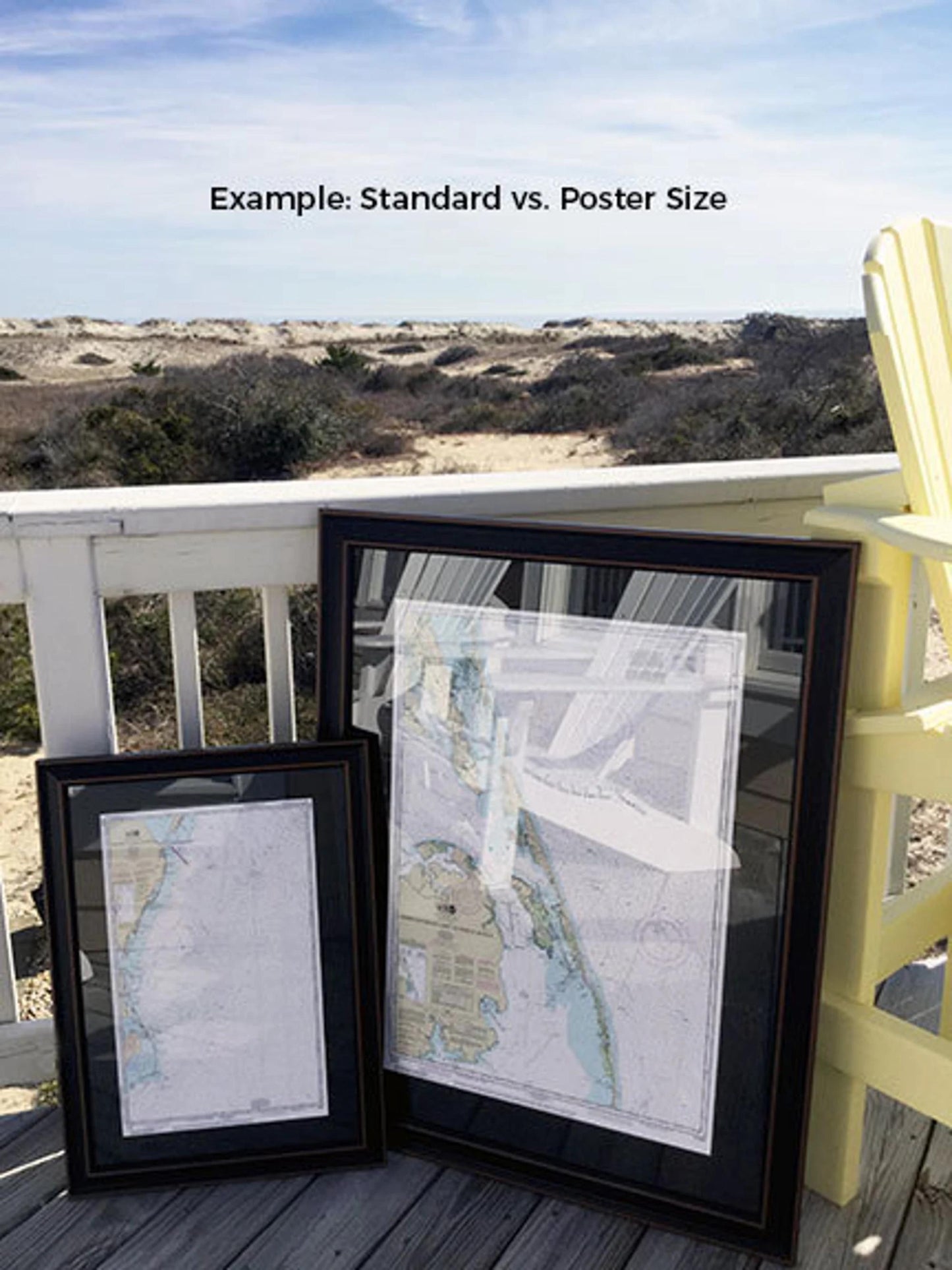
We offer two frame sizes to suit your space:
- Standard size: Outer frame dimensions of approximately 24" W x 18" H
- Poster size: Outer frame dimensions of approximately 36" W x 27" H
If you’re seeking a different framing option or have specific design ideas, please reach out to us. We are more than happy to accommodate your requests and collaborate on creating the perfect piece for your decor.
*Important Shipping Note: Free ground shipping is available only for shipments within the 48 contiguous states. We do not inflate shipping costs, but due to the high expenses associated with shipping to Alaska and Hawaii, please contact us for a customized shipping quote.
Share