Framed Nautical Charts
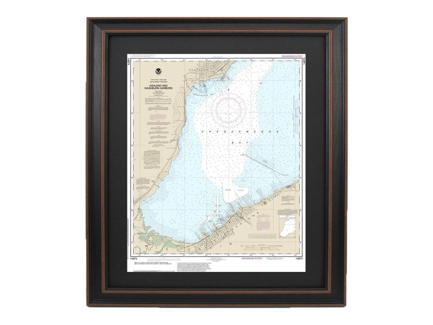
Framed Nautical Chart 14974 - Ashland and Washburn Harbors, Lake Superior, Wisconsin. NOAA 14974. Handmade in the USA.
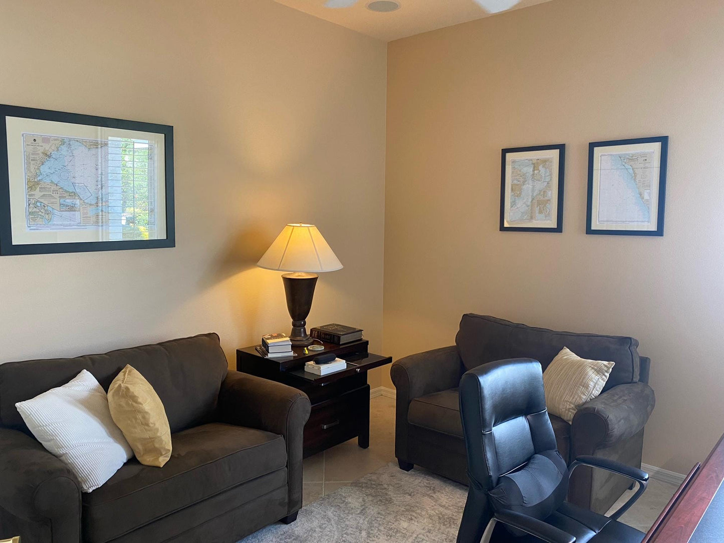
Framed Nautical Chart 14974 - Ashland and Washburn Harbors, Lake Superior, Wisconsin. NOAA 14974. Handmade in the USA.
Couldn't load pickup availability
Discover the beauty of Ashland and Washburn Harbors on Lake Superior, Wisconsin, with this exquisite Framed Nautical Map. This official NOAA Nautical Chart intricately details these stunning waters and is custom handmade in the USA, showcasing exceptional craftsmanship.
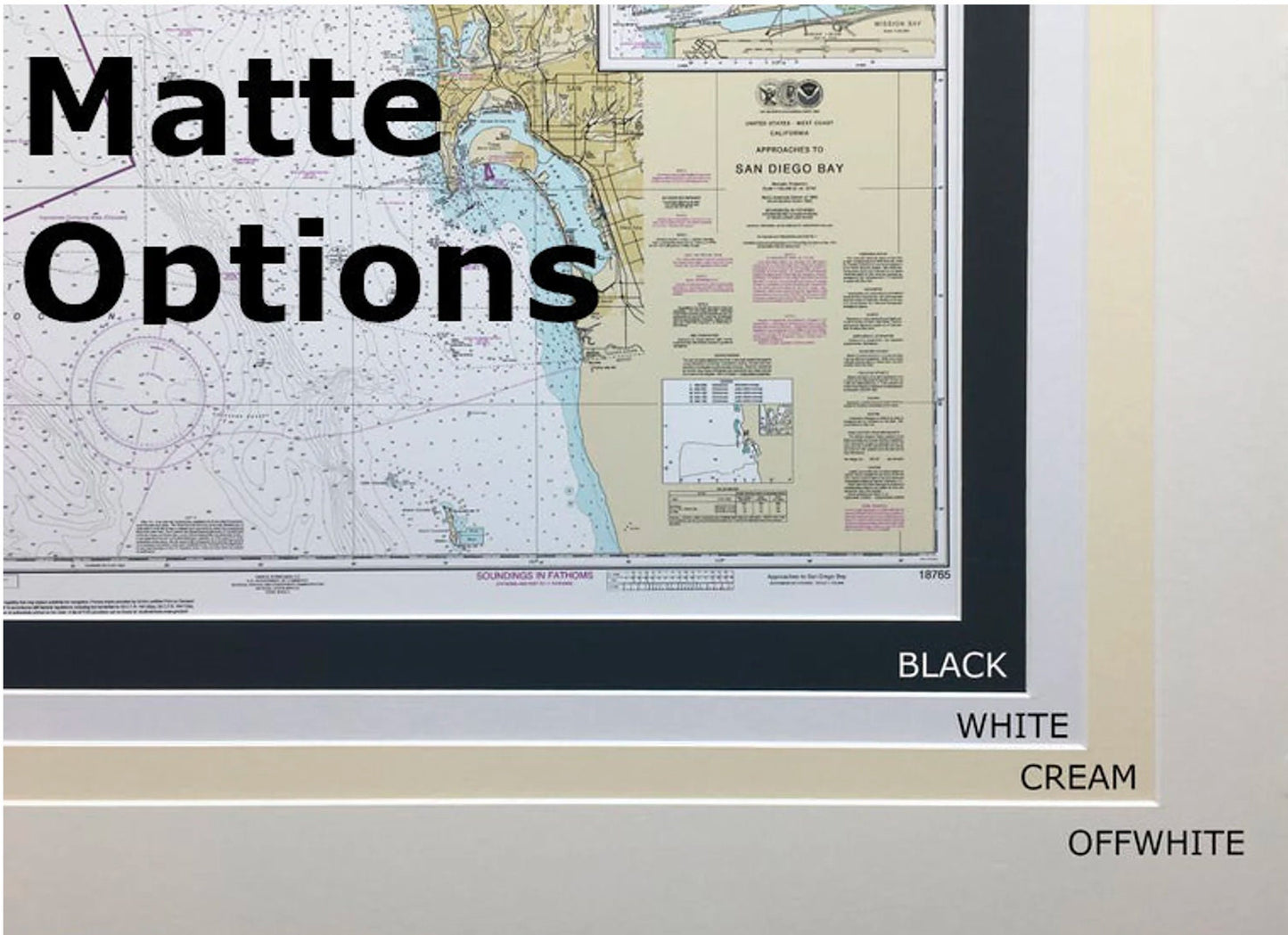
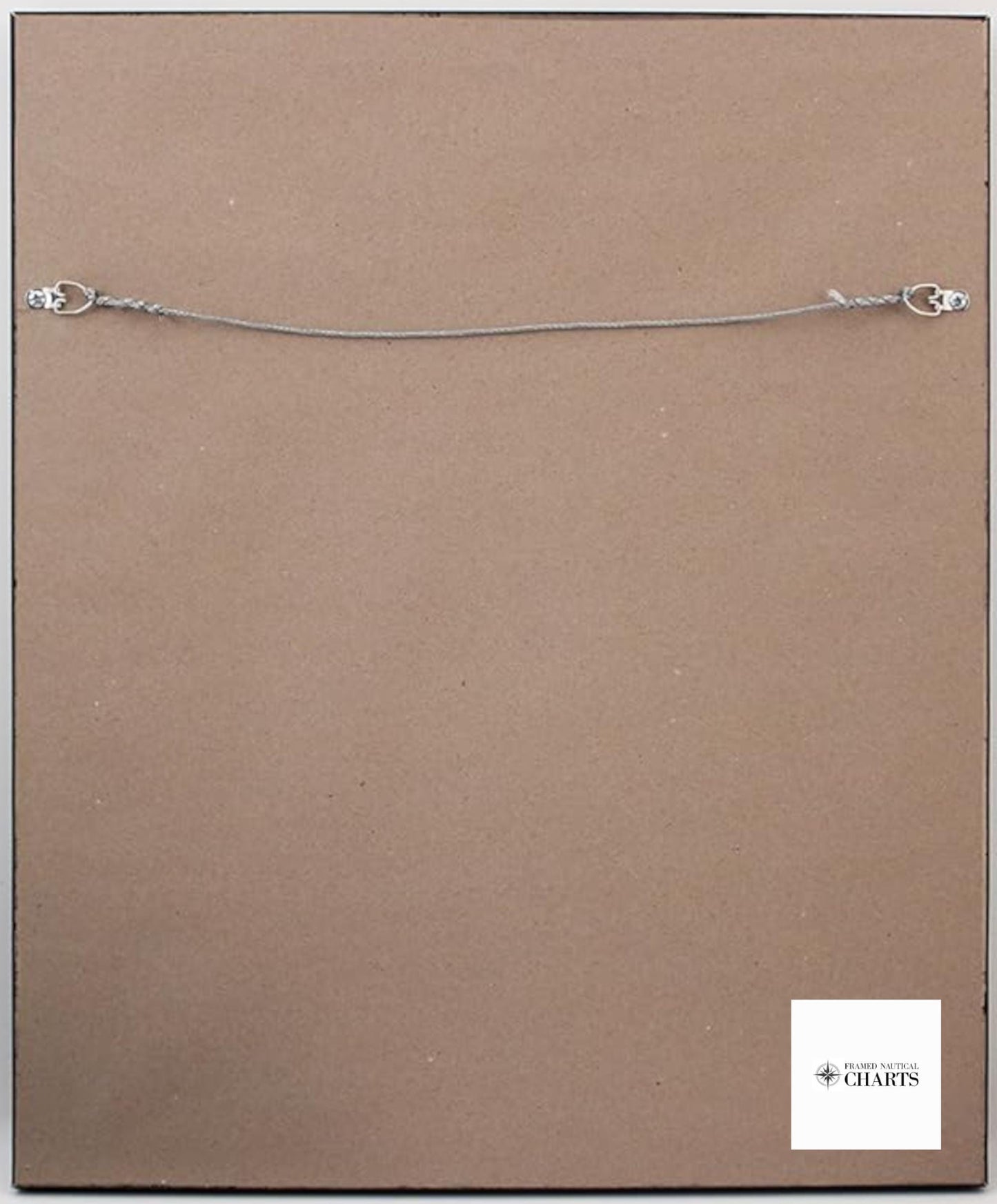
Presented in a solid wood frame, each chart features a museum-quality print made from archival paper and inks for durability and vibrant color. The piece is elegantly complemented by a black mat and protected by a glass front, ensuring it remains a cherished addition to your home or office. The back is neatly finished with a paper duster, and a convenient wire hanger is included for easy installation.
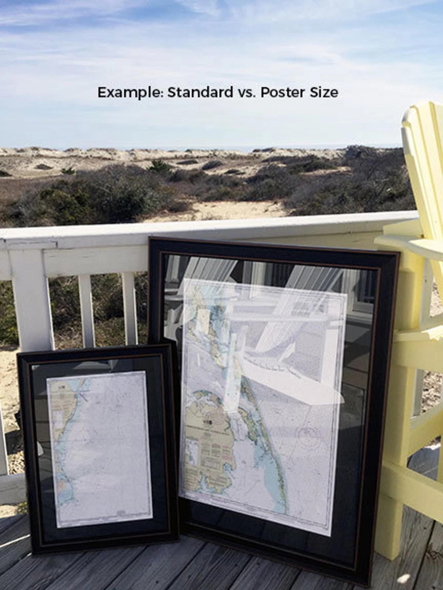
Available in two sizes:
- Standard size: Outer frame dimensions approximately 19 1/2" W x 24" H
- Poster size: Outer frame dimensions approximately 29 1/2" W x 36" H
If you’re interested in a different framing option, feel free to reach out with your request. We welcome sample photos to help us create exactly what you envision.
*Important Shipping Note: Free ground shipping is offered for orders within the 48 contiguous states. We do not impose additional shipping costs; however, due to the high shipping rates to Alaska and Hawaii, please contact us for custom shipping quotes.
Share