Framed Nautical Charts
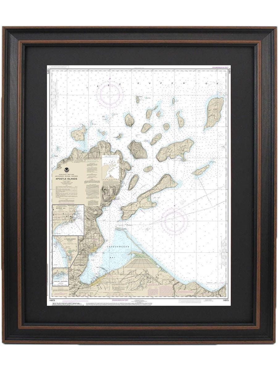
Framed Nautical Chart 14973 - Apostle Islands, Lake Superior NOAA 14973. Handmade in the USA.
Framed Nautical Chart 14973 - Apostle Islands, Lake Superior NOAA 14973. Handmade in the USA.
Couldn't load pickup availability
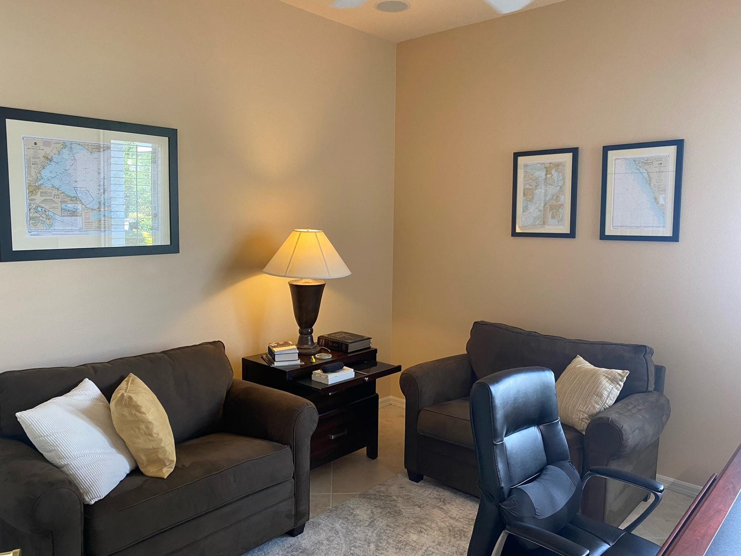
Discover the beauty of the Apostle Islands with this meticulously crafted Framed Nautical Chart, showcasing the stunning waters of Lake Superior, including Chequamegon Bay, Bayfield Harbor, Pikes Bay Harbor, and La Pointe Harbor. This official NOAA Nautical Chart serves as both a functional maritime guide and a striking piece of art, perfect for any home or office.
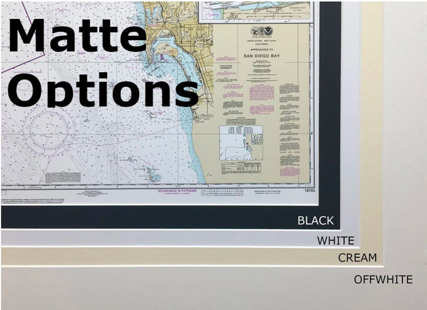
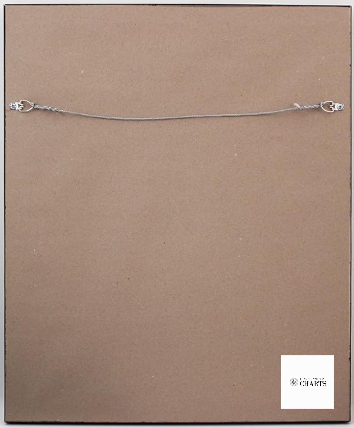
Each chart is custom handmade in the USA and reflects exceptional craftsmanship. Presented in a solid wood frame, it features a museum-quality print made from archival paper and inks, ensuring longevity and vibrancy. The chart is elegantly accented with a black mat and protected by a durable glass front. The back is finished with a paper duster for a polished look, and a wire hanger is included for effortless installation.
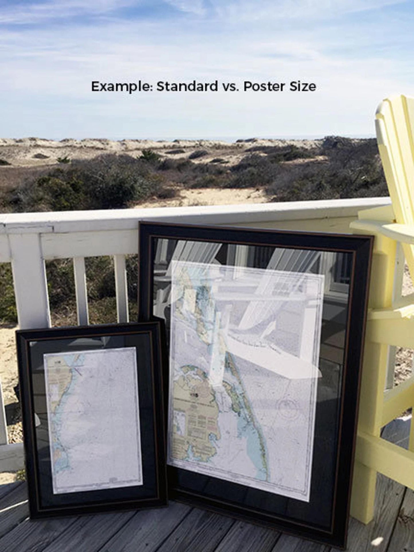
Available in two convenient sizes:
- Standard size: approximately 18 1/4" W x 24" H
- Poster size: approximately 27 1/2" W x 36" H
If you’re interested in a different frame option, please don't hesitate to reach out with your specifications. We welcome any sample photos to help us create exactly what you envision.
*Important Shipping Note: Free ground shipping is available only for shipments within the 48 contiguous states. While we do not inflate shipping costs, please contact us for customized shipping quotes to Alaska and Hawaii due to higher shipping rates.
Share