Framed Nautical Charts
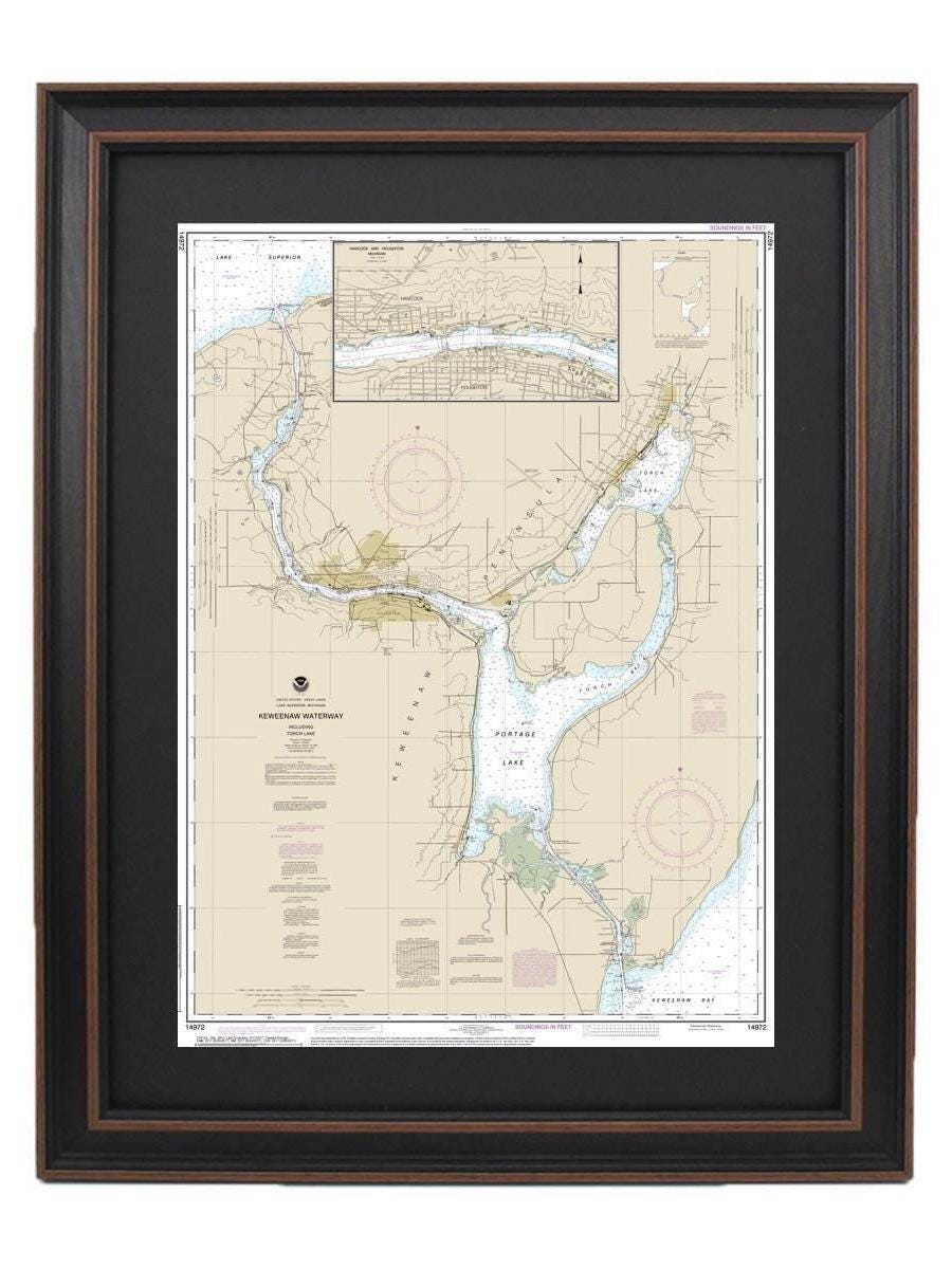
Framed Nautical Chart 14972 - Keweenaw Waterway, Michigan. NOAA 14972. Handmade in the USA.
Framed Nautical Chart 14972 - Keweenaw Waterway, Michigan. NOAA 14972. Handmade in the USA.
Couldn't load pickup availability
Discover the beauty of the Keweenaw Waterway in Michigan with this stunning Framed Nautical Map, which includes detailed representations of Torch Lake, Portage Lake, and the cities of Hancock and Houghton. This official NOAA Nautical Chart masterfully captures the intricate waterways of this picturesque region. Each chart is carefully handmade in the USA, showcasing exceptional craftsmanship and attention to detail.
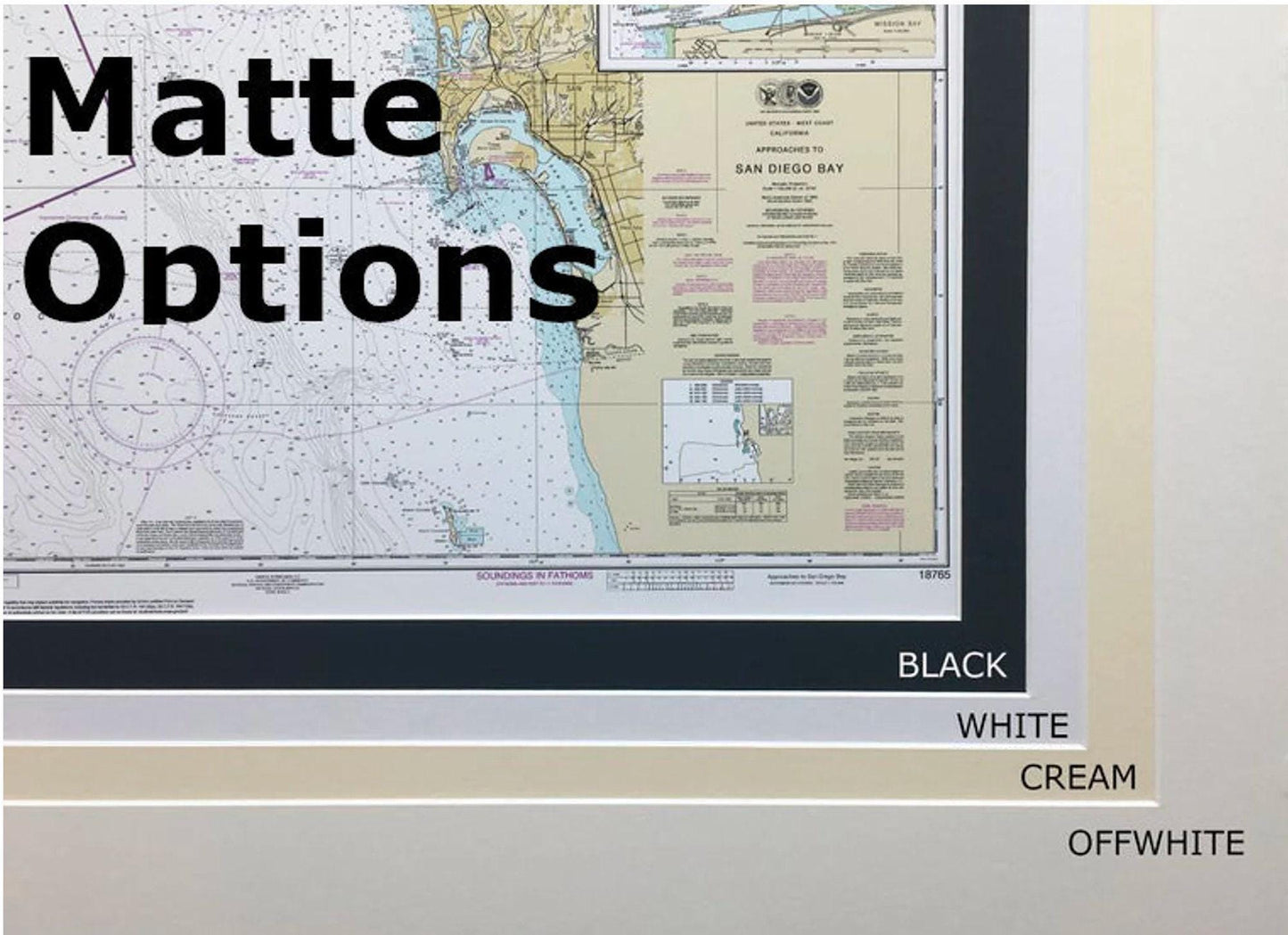
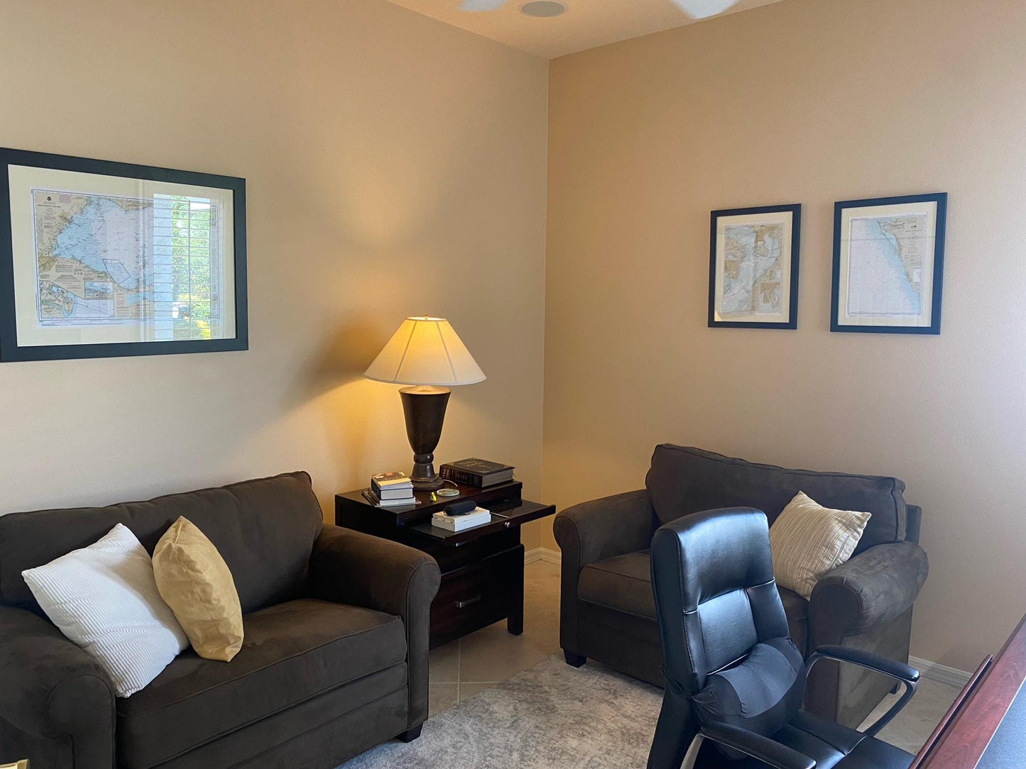
Presented in a solid wood frame, this nautical chart features a museum-quality print created with archival paper and inks, ensuring durability and vibrancy. It comes with a sleek black mat and is protected by a glass front to preserve its stunning artwork. The back of the chart is finished with a paper duster, and a wire hanger is included for easy and convenient installation.
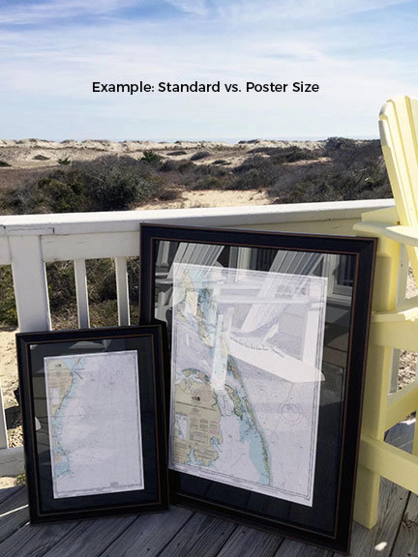
Available in two sizes, you can choose the perfect frame to suit your space:
- Standard size: outer frame dimensions approximately 16 3/4" W x 24" H
- Poster size: outer frame dimensions approximately 25 1/4" W x 36" H
If you're interested in a custom frame option, feel free to contact us with your requests, and we would be happy to collaborate with you to create the perfect piece.
*Important Shipping Note: Free ground shipping is available only to the 48 contiguous states. We do not inflate shipping costs; however, due to higher shipping rates to Alaska and Hawaii, please reach out for custom shipping quotes.
Share