Framed Nautical Charts
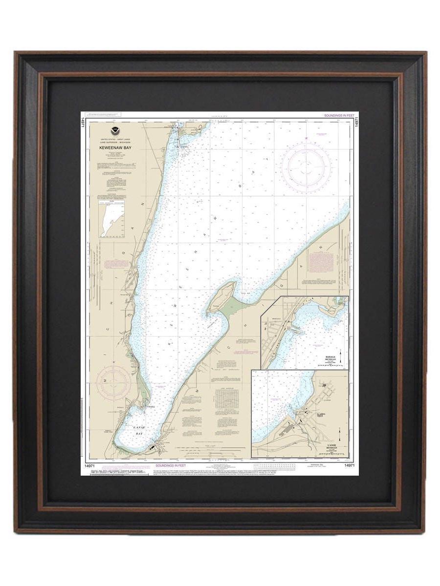
Framed Nautical Chart 14971 - Keweenaw Bay. Lake Superior, Michigan. NOAA 14971. Handmade in the USA.
Framed Nautical Chart 14971 - Keweenaw Bay. Lake Superior, Michigan. NOAA 14971. Handmade in the USA.
Couldn't load pickup availability
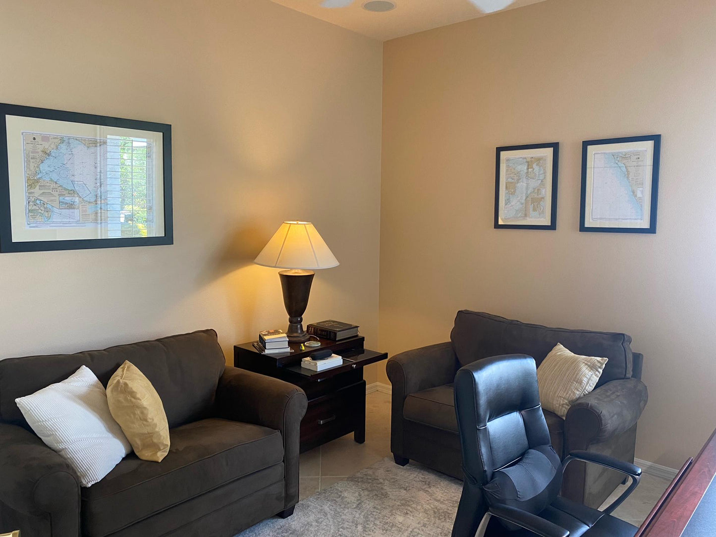
This beautifully framed nautical map showcases the stunning waters of Keweenaw Bay in Lake Superior, Michigan, encompassing the scenic L'Anse and Baraga Harbors. As an official NOAA Nautical Chart, it offers an intricate and detailed portrayal of these remarkable waters. Each chart is custom handmade in the USA, reflecting our commitment to high standards of craftsmanship.
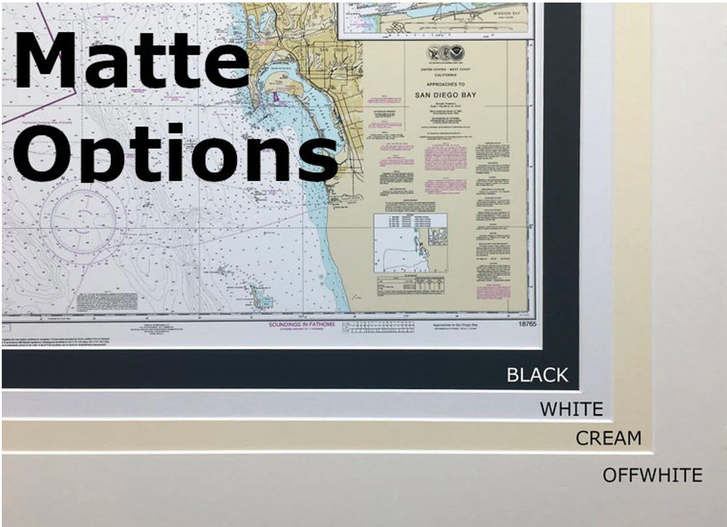
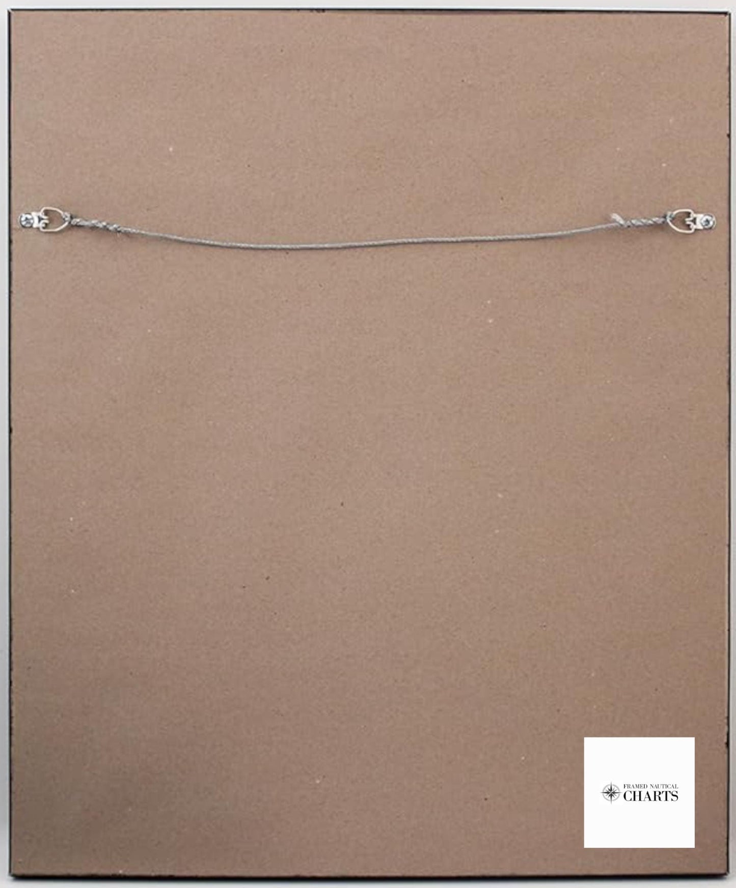
The chart is elegantly presented in a solid wood frame, featuring a museum-quality print created from archival paper and inks to ensure longevity. It includes a sophisticated black mat and is protected by a glass front, giving it a polished and refined appearance. The back is finished with a paper duster for a clean look, and a sturdy wire hanger is included for easy installation.
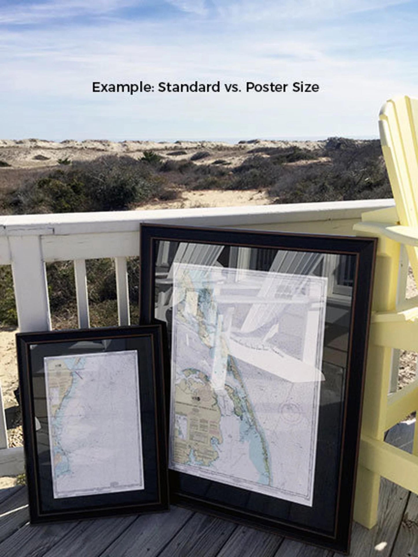
Our frames are available in two sizes to suit your space:
- Standard size: outer frame dimensions approximately 18 1/4" W x 24" H
- Poster size: outer frame dimensions approximately 27 1/2" W x 36" H
If you have specific frame preferences or need a custom solution, please don’t hesitate to reach out. We invite you to share any sample photos or ideas you may have to help us bring your vision to life.
*Important Shipping Note: We offer free ground shipping within the 48 contiguous states. While we do not increase shipping costs, please contact us for custom shipping quotes for Alaska and Hawaii, where shipping can be more expensive. Enhance your decor with this exquisite framed nautical chart, a perfect gift for maritime enthusiasts or anyone who appreciates the beauty of Lake Superior!
Share