Framed Nautical Charts
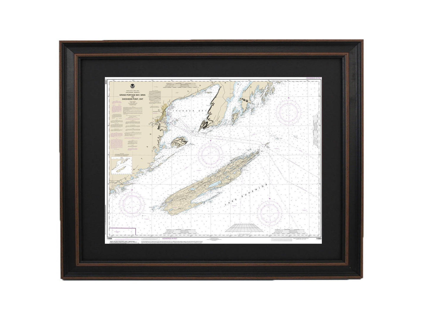
Framed Nautical Chart 14968 - Grand Portage Bay, Minn. to Shesbeeb Point, Ontario. NOAA 14968. Handmade in the USA.
Framed Nautical Chart 14968 - Grand Portage Bay, Minn. to Shesbeeb Point, Ontario. NOAA 14968. Handmade in the USA.
Couldn't load pickup availability
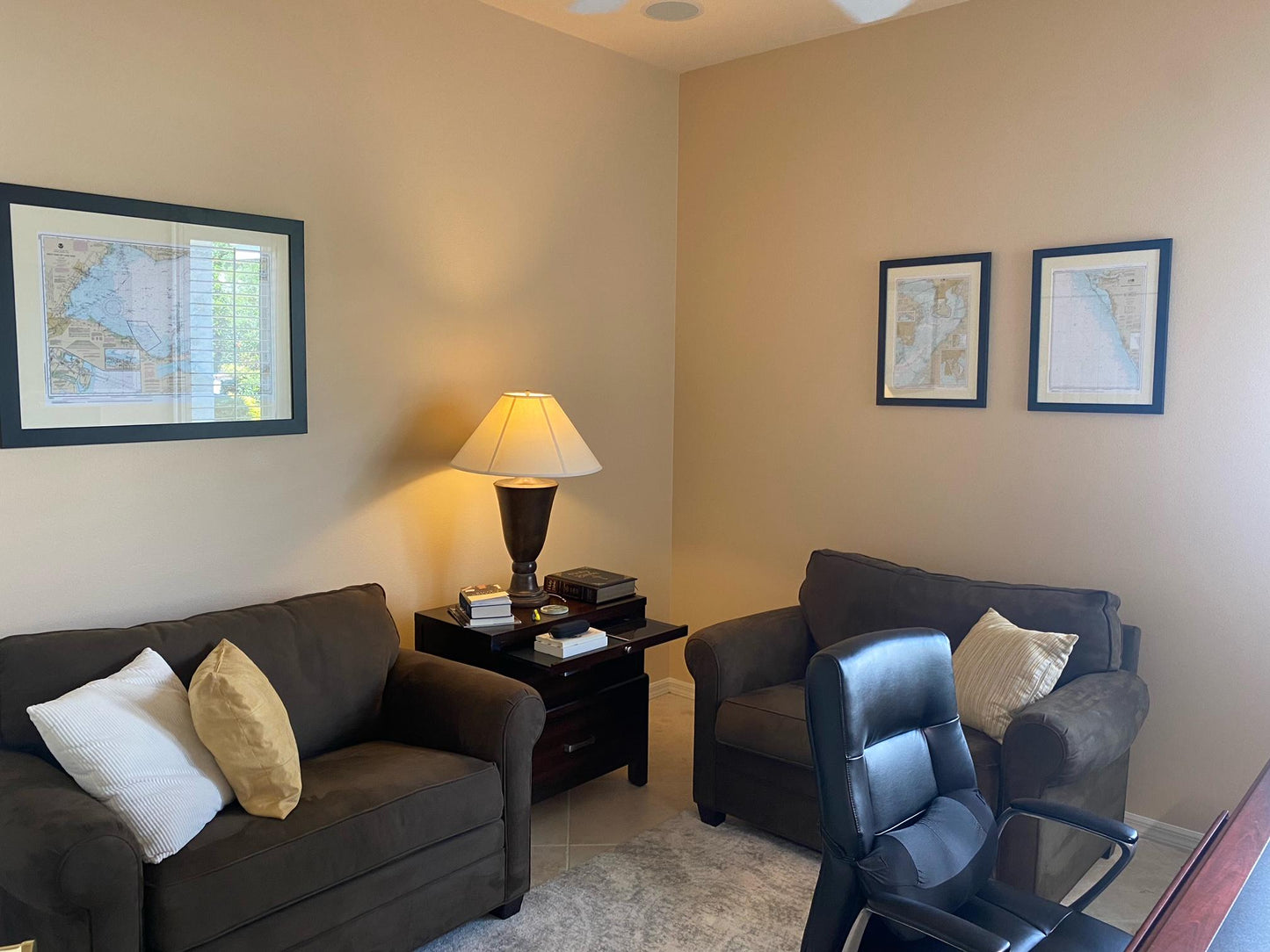
Discover the beauty of the waters from Grand Portage Bay, Minnesota, to Shesbeeb Point, Ontario, with this exquisitely framed nautical chart. This official NOAA Nautical Chart showcases the intricate details of this stunning region, making it a perfect addition to your home or office decor. Each map is custom handmade in the USA, reflecting exceptional craftsmanship and attention to detail.
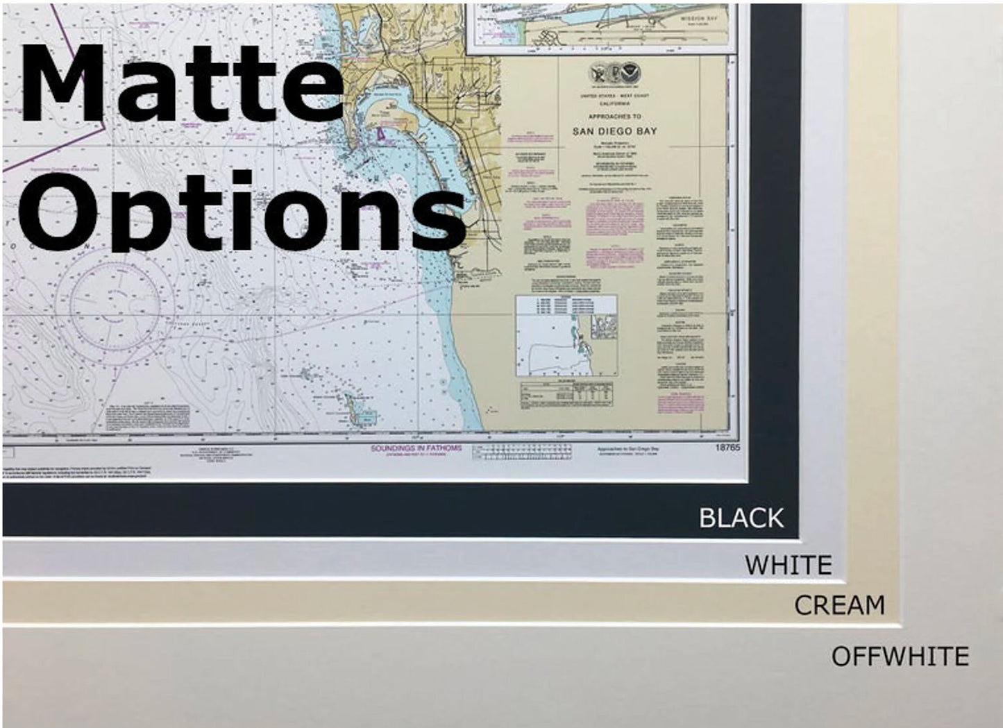
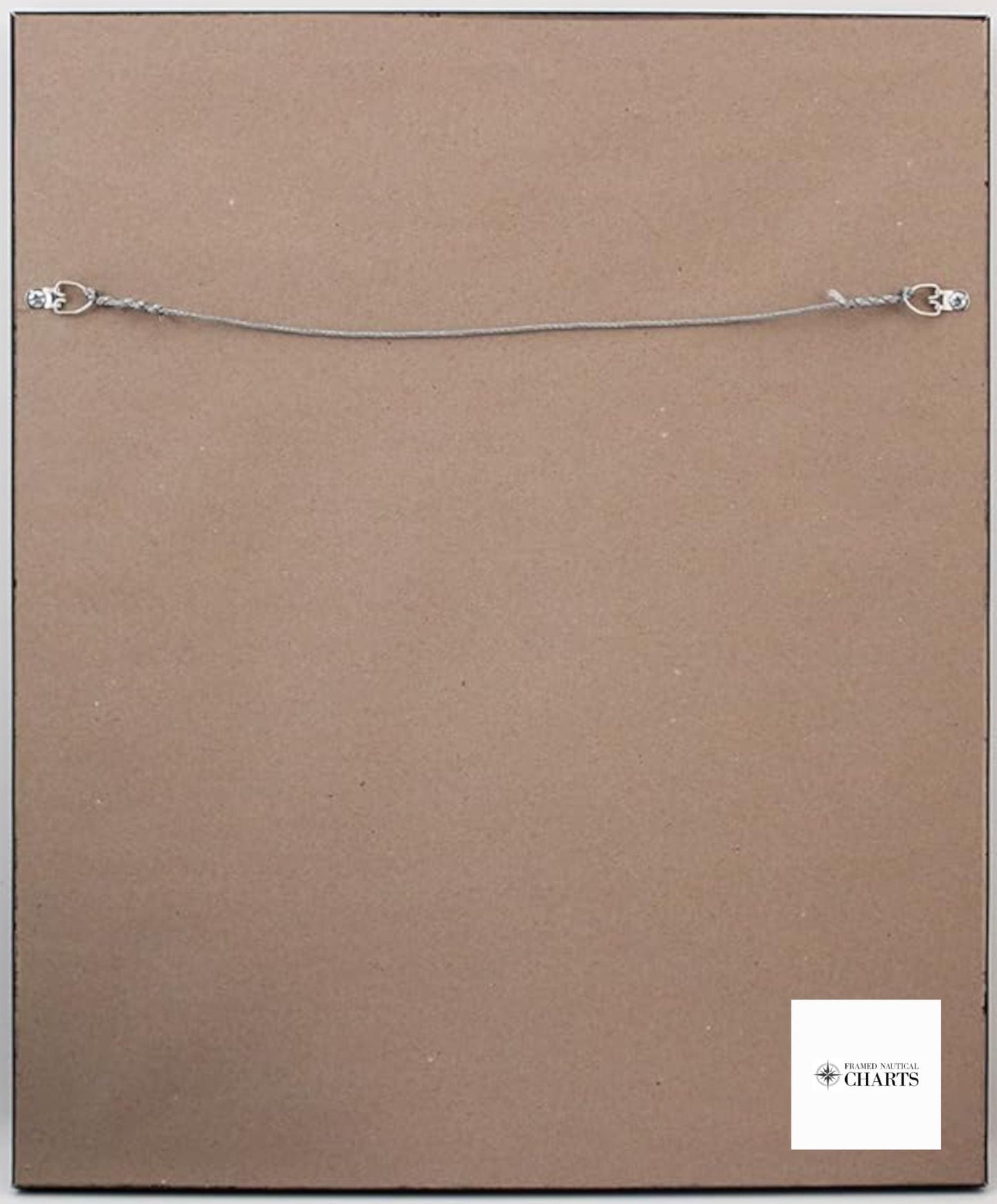
The chart is elegantly presented in a solid wood frame and features a museum-quality print crafted from archival paper and inks to ensure durability and vibrant colors. It is enhanced by a sophisticated black mat and protected by a glass front, allowing you to enjoy the details without compromise. The back is finished with a paper duster for a clean look, and it comes complete with a wire hanger for easy installation.
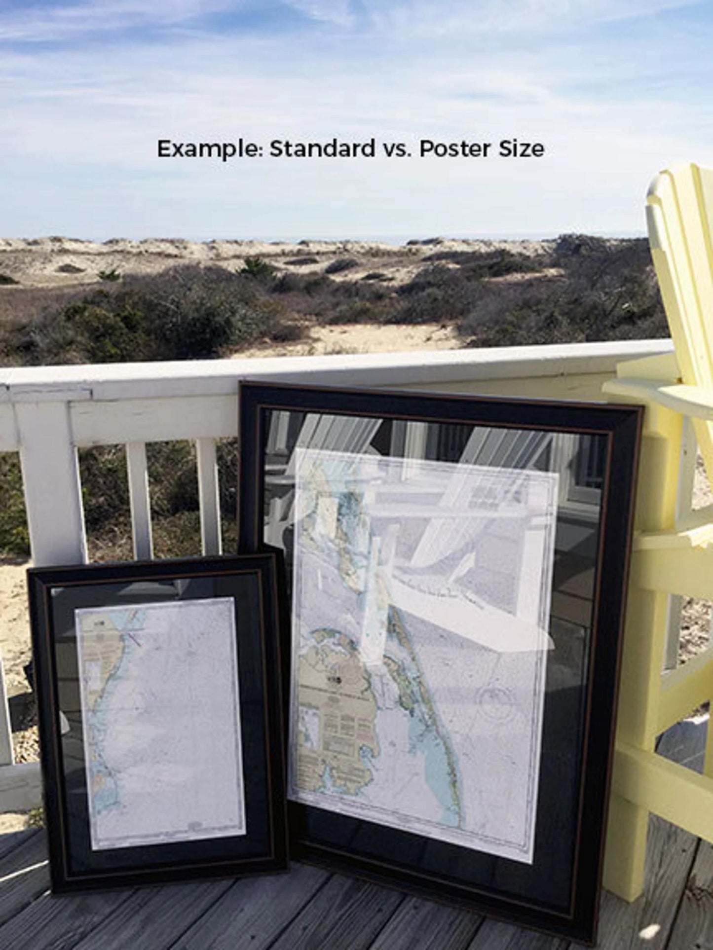
We offer two frame sizes to suit your needs:
- Standard size: outer frame dimensions approximately 24" W x 18 1/2" H
- Poster size: outer frame dimensions approximately 36" W x 27 3/4" H
If you have specific framing requests or would like to see sample photos for a custom design, please don’t hesitate to reach out.
*Important Shipping Note: We provide free ground shipping to the 48 contiguous states. While we do not add extra shipping costs, please contact us for custom shipping quotes for Alaska and Hawaii, due to higher shipping expenses. Enhance your space with this meaningful piece that beautifully captures the essence of these remarkable waters.
Share