Framed Nautical Charts
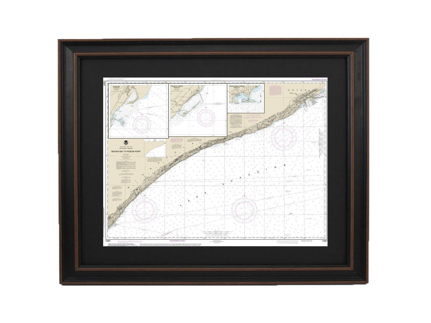
Framed Nautical Chart 14967 - Lake Superior, Beaver Bay to Pigeon Point. NOAA 14967. Handmade in the USA.
Framed Nautical Chart 14967 - Lake Superior, Beaver Bay to Pigeon Point. NOAA 14967. Handmade in the USA.
Couldn't load pickup availability
Discover the beauty of Lake Superior with this meticulously framed nautical map, highlighting the captivating waters from Beaver Bay to Pigeon Point, including Silver Bay Harbor, Taconite Harbor, and Grand Marais Harbor. This chart is an official NOAA Nautical Chart, capturing the unique features of these stunning locations.
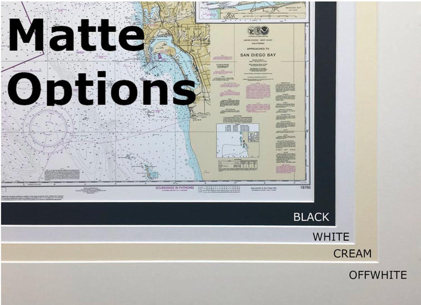
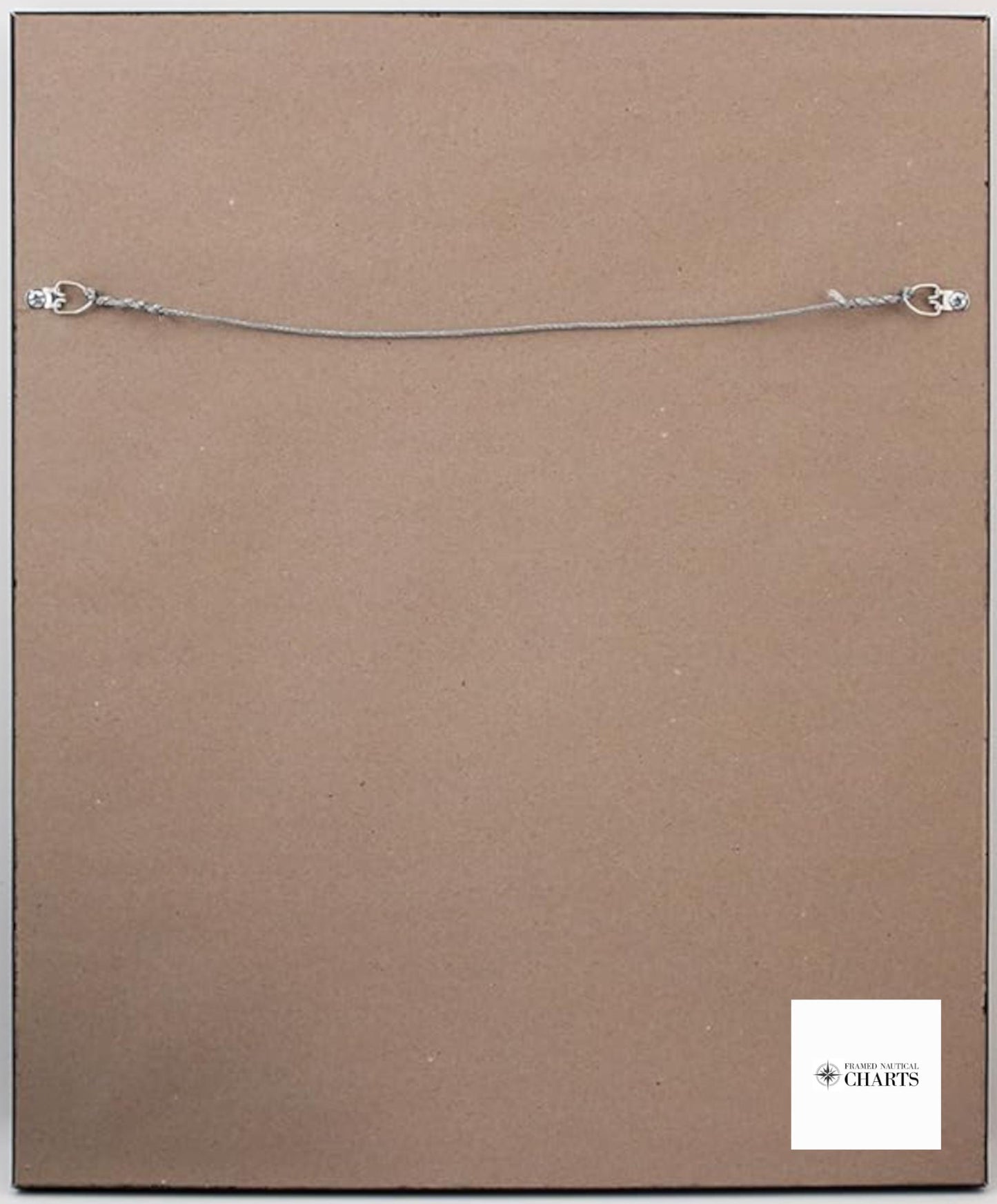
Each piece is custom handmade in the USA, showcasing exceptional craftsmanship. The map is elegantly presented in a solid wood frame, complemented by a museum-quality print crafted from archival paper and inks to ensure durability and vibrancy. A sophisticated black mat enhances the visual appeal, while a glass front protects the artwork from dust and damage. The back is neatly finished with a paper duster, and a wire hanger is included for easy installation.
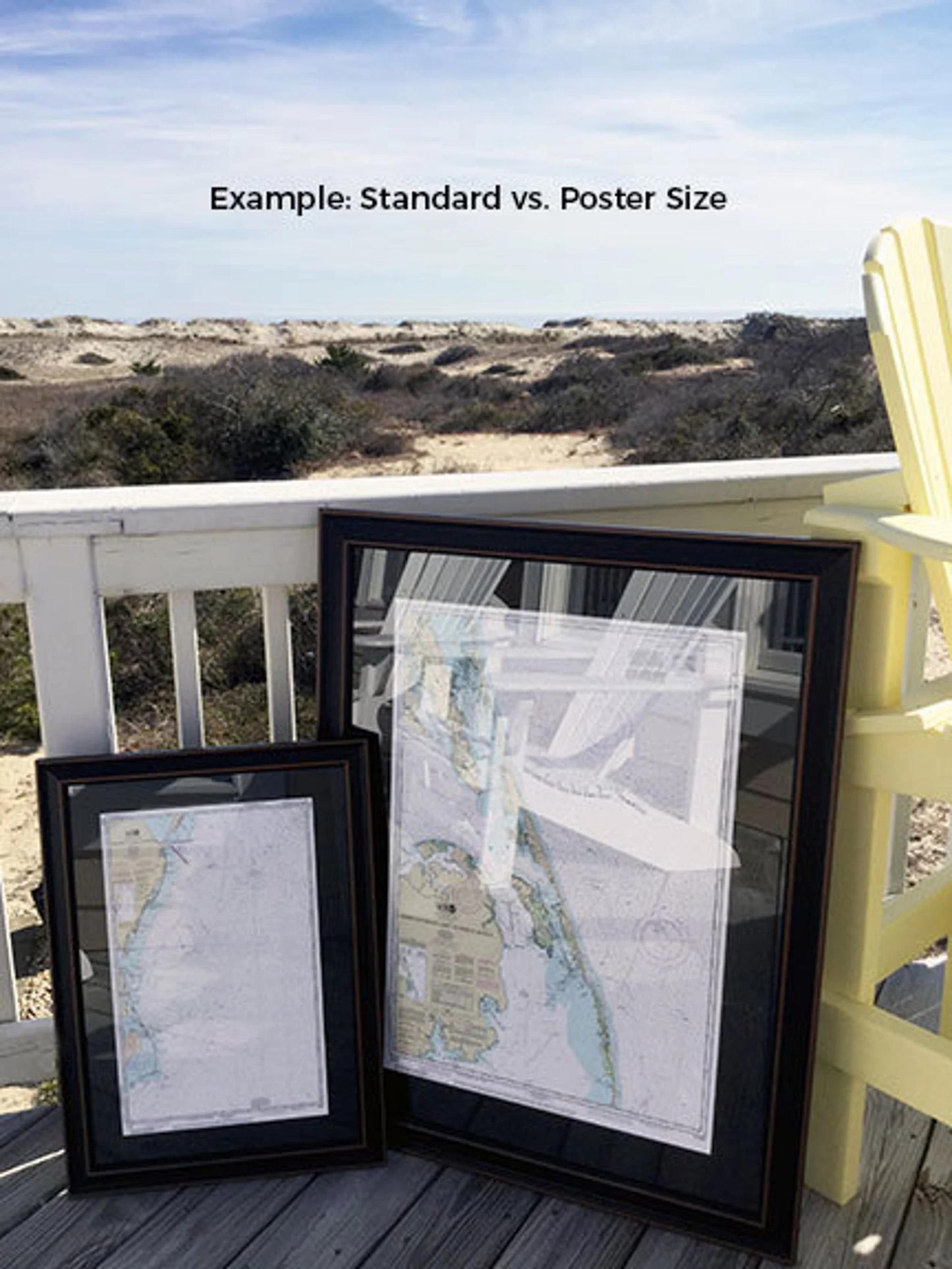
Two frame sizes are available to suit your needs:
- Standard size: outer frame dimensions approximately 24" W x 18" H
- Poster size: outer frame dimensions approximately 36" W x 27" H
If you have specific frame preferences or need a different option, please reach out—we’re happy to accommodate your requests and welcome any sample photos to help us bring your vision to life.
*Important Shipping Note: Free ground shipping is offered for shipments within the 48 contiguous states. We do not inflate shipping costs; however, due to the higher shipping rates to Alaska and Hawaii, please contact us for a custom shipping quote.
Share