Framed Nautical Charts
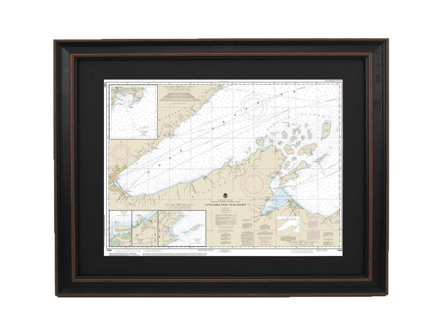
Framed Nautical Chart 14966 - Lake Superior, Little Girls Point to Silver Bay. NOAA 14966. Handmade in the USA.
Framed Nautical Chart 14966 - Lake Superior, Little Girls Point to Silver Bay. NOAA 14966. Handmade in the USA.
Couldn't load pickup availability
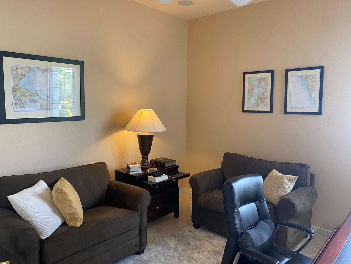
Discover the beauty of Lake Superior with this meticulously handcrafted Framed Nautical Map that spans from Little Girls Point to Silver Bay. This official NOAA Nautical Chart showcases stunning features of the region, including Duluth, Apostle Islands, Cornucopia Harbor, Port Wing Harbor, Knife River Harbor, and Two Harbors.
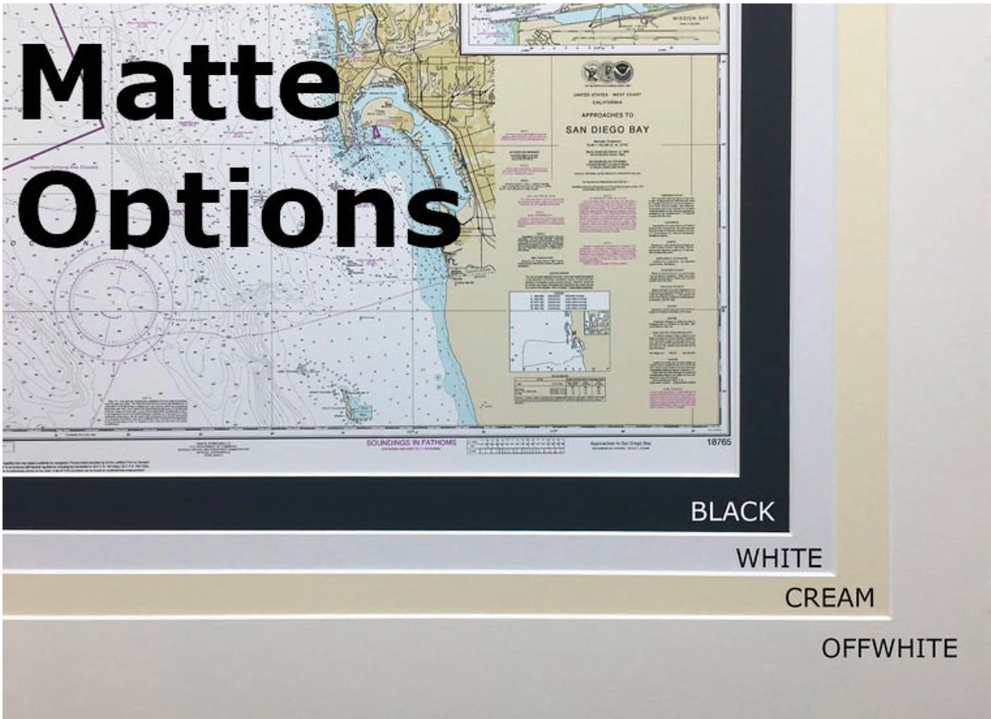
Each chart is custom-made in the USA, adhering to the highest standards of craftsmanship. Presented in a solid wood frame, it includes a museum-quality print crafted from archival paper and inks to ensure durability and vibrancy. The chart is elegantly accented with a black mat and protected by a glass front, allowing for a stunning display in any setting. The back is finished with a paper duster, and a wire hanger is included for easy installation.
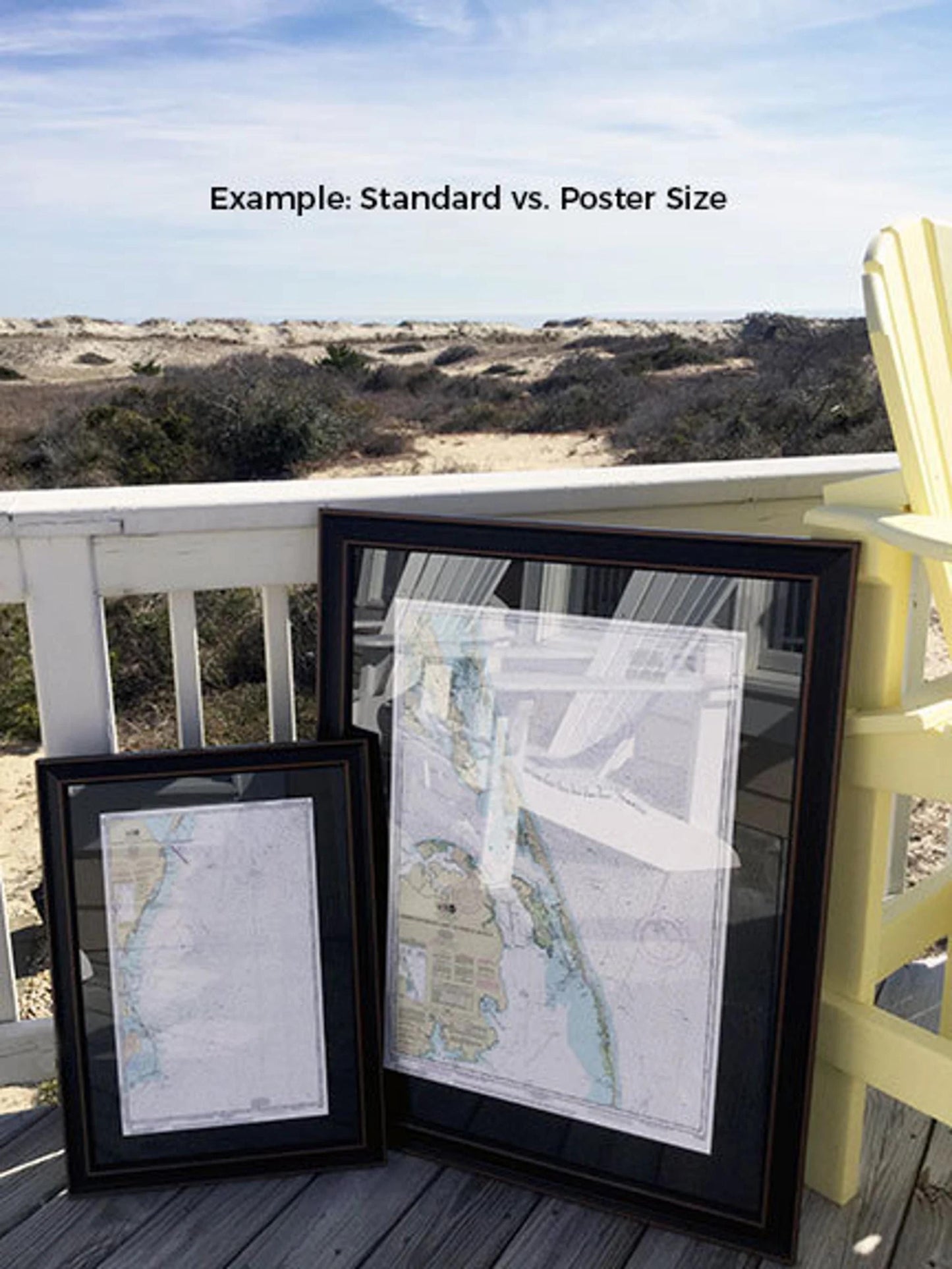
Available in two sizes to suit your needs:
- Standard size: approximately 24" W x 17 ¾" H
- Poster size: approximately 36" W x 26 ½" H
If you're interested in a different frame option, please feel free to reach out with your request. We are happy to work with you to create a customized piece that perfectly fits your vision.
*Important Shipping Note: We offer free ground shipping for deliveries within the 48 contiguous states. While we strive to keep shipping rates reasonable, please contact us for a custom shipping quote for Alaska and Hawaii due to the higher costs involved.
Share