Framed Nautical Charts
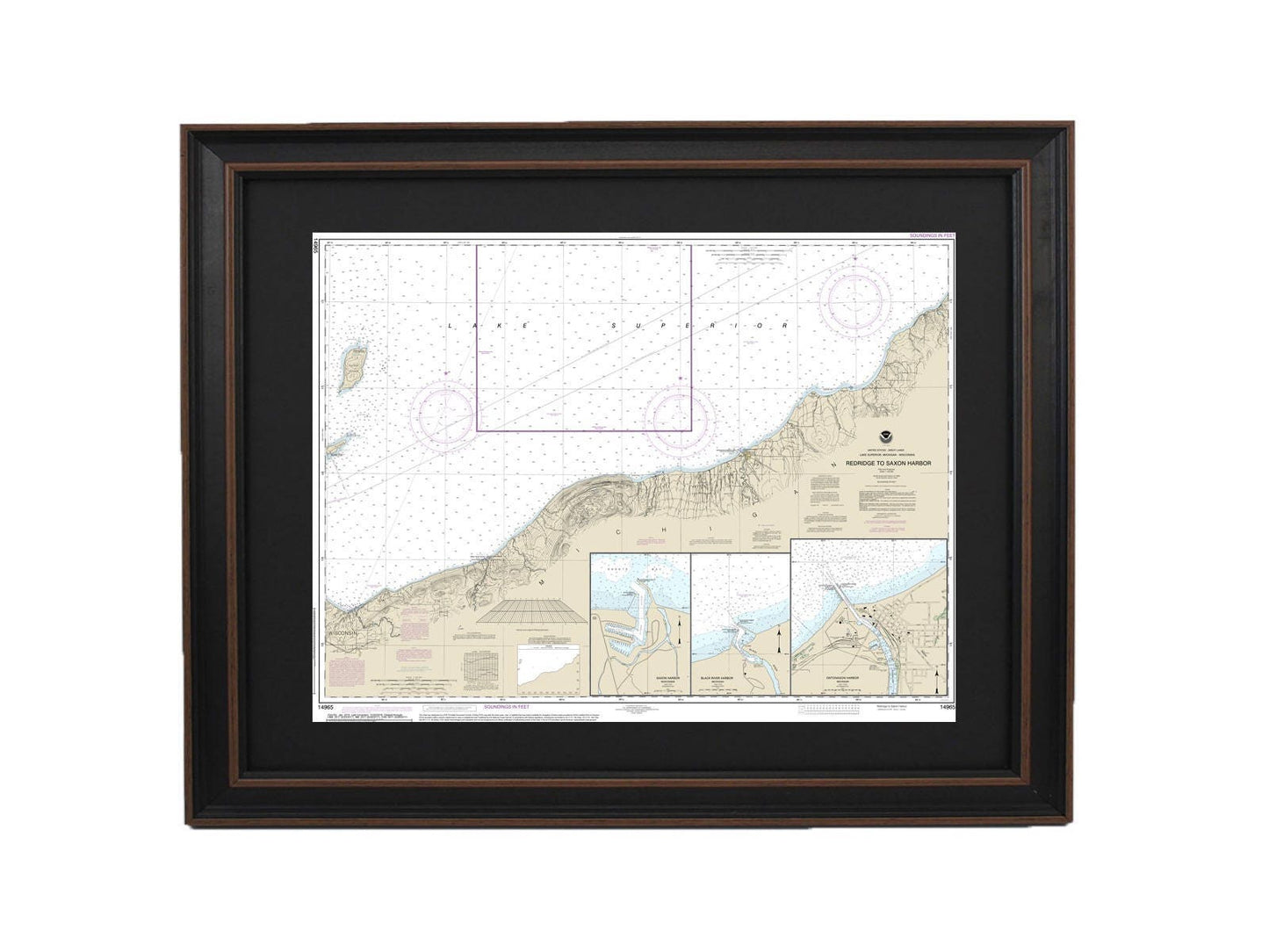
Framed Nautical Chart 14965 - Redridge to Saxon Harbor, Lake Superior. NOAA 14965. Handmade in the USA.
Framed Nautical Chart 14965 - Redridge to Saxon Harbor, Lake Superior. NOAA 14965. Handmade in the USA.
Couldn't load pickup availability
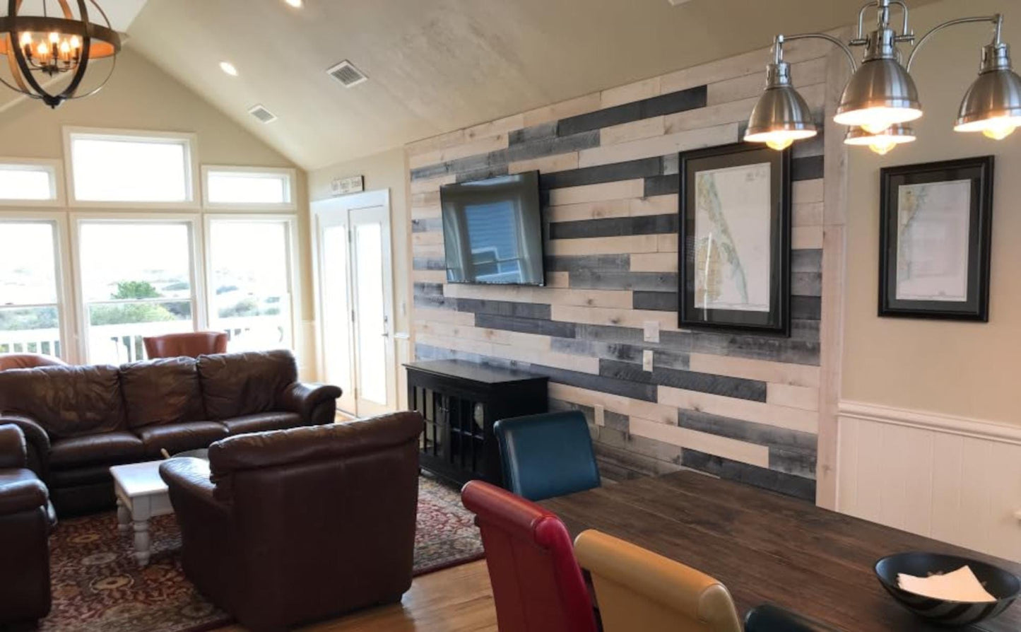
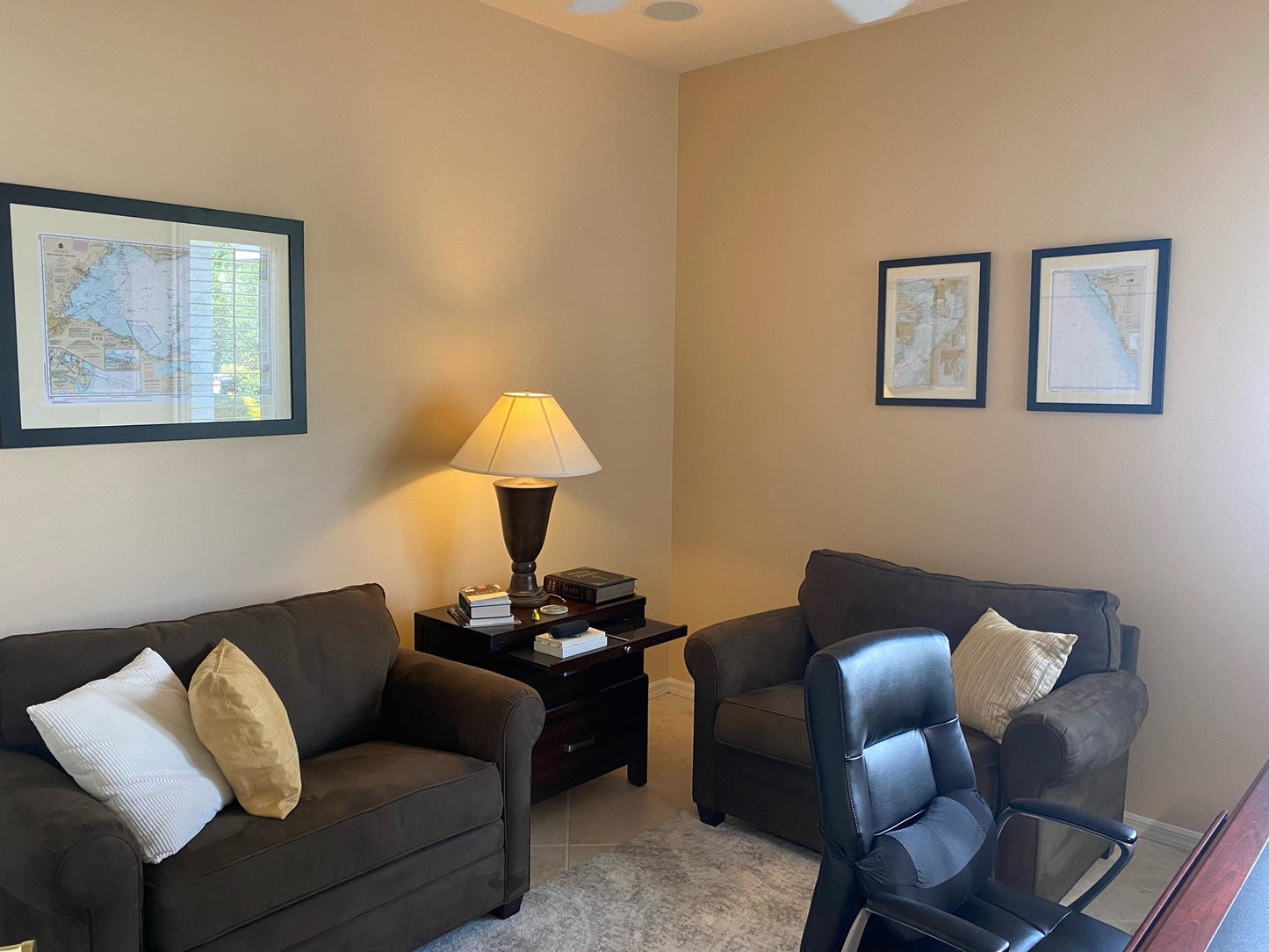
Discover the stunning beauty of Lake Superior with our Framed Nautical Chart 14965, which showcases the waters from Redridge to Saxon Harbor, including Ontonagon Harbor and Black River Harbor. This official NOAA Nautical Chart is meticulously crafted in the USA, ensuring exceptional quality and attention to detail.
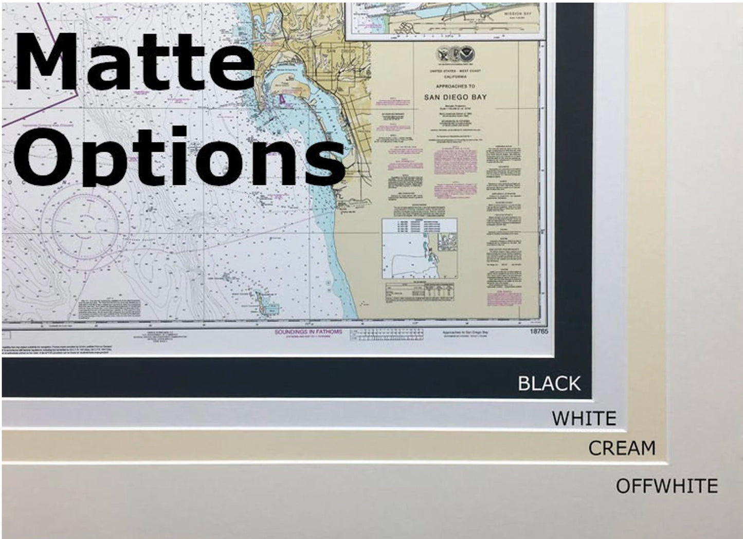
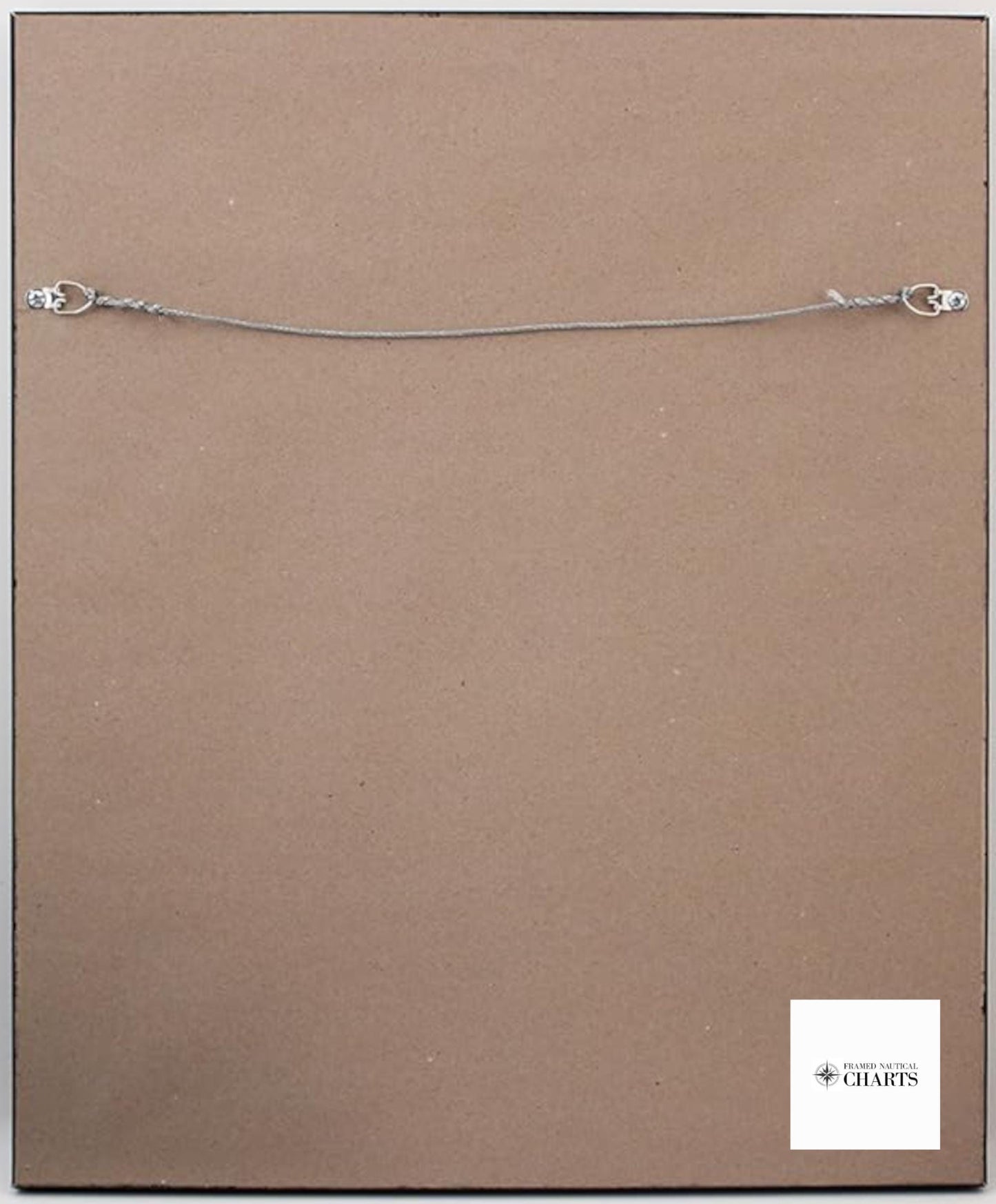
Each chart is custom handmade, reflecting our high standards of craftsmanship. The nautical chart is elegantly presented in a solid wood frame and features a museum-quality print made from archival paper and inks, ensuring its longevity. It is complemented by a sleek black mat and protected by a glass front, allowing you to appreciate the intricate details of the chart. The back is finished with a paper duster for a polished look, and a convenient wire hanger is included for easy installation.
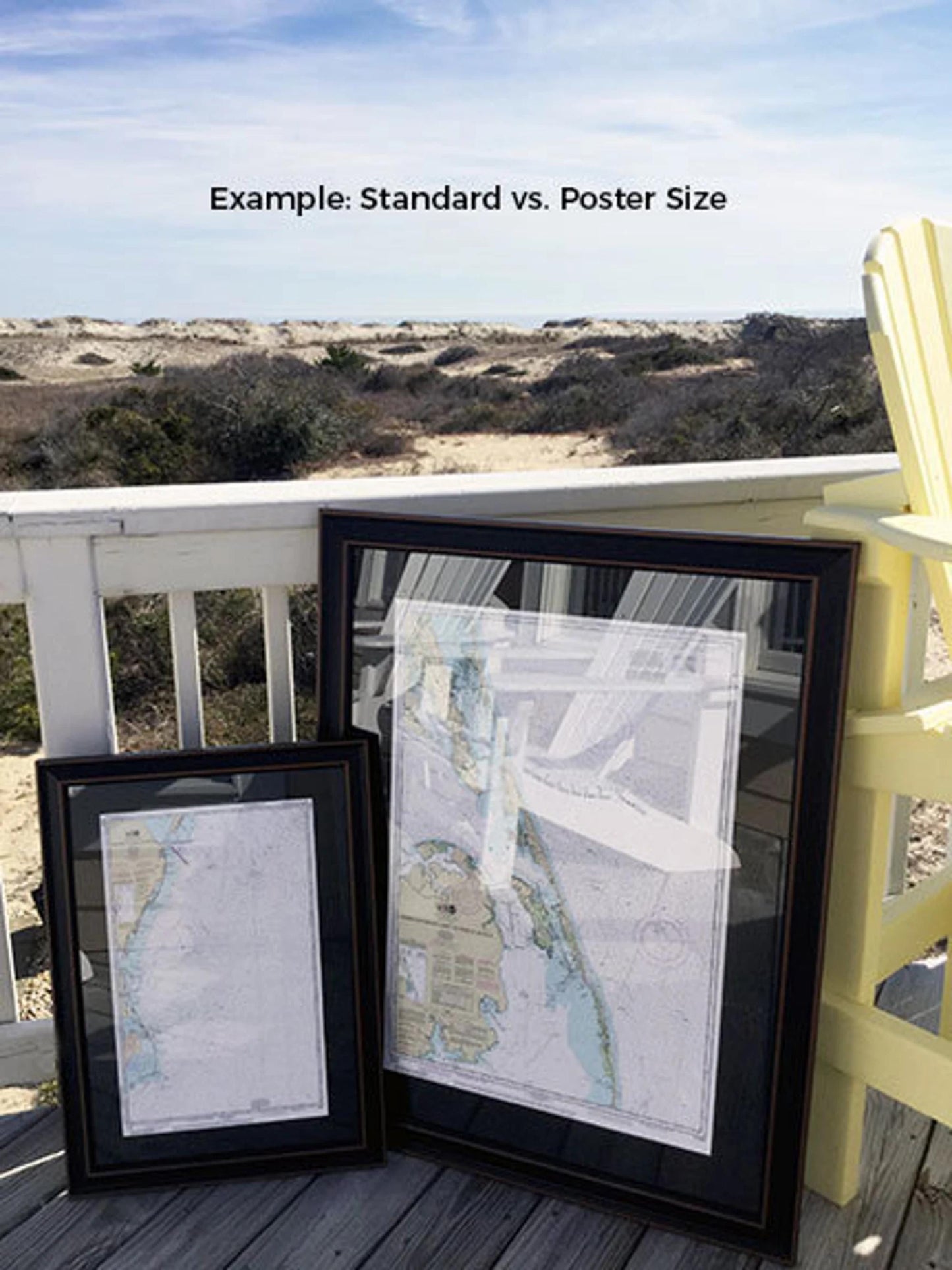
Available in two sizes to suit your space:
- Standard Size: Outer frame dimensions are approximately 24" W x 19" H
- Poster Size: Outer frame dimensions are approximately 36" W x 28 1/2" H
If you're interested in a custom frame option, please reach out to us with your request. We welcome any sample photos you may have to help us create the perfect display to match your vision.
*Important Shipping Note: Free ground shipping is available for shipments to the 48 contiguous states. While we do not apply additional markups for shipping, please contact us for custom shipping quotes due to the higher costs associated with shipping to Alaska and Hawaii.
Share