Framed Nautical Charts
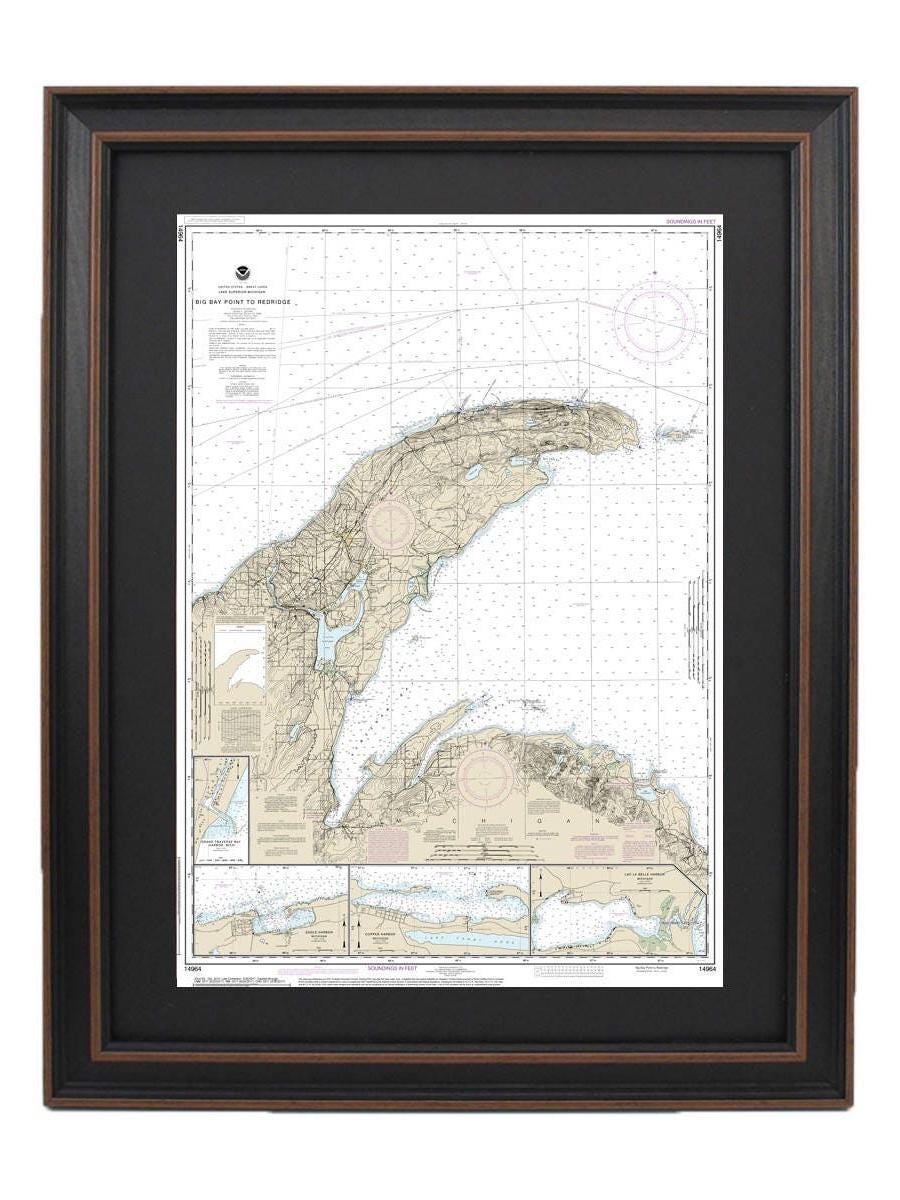
Framed Nautical Chart 14964 - Lake Superior, Big Bay Point to Redridge. NOAA 14964. Handmade in the USA.
Framed Nautical Chart 14964 - Lake Superior, Big Bay Point to Redridge. NOAA 14964. Handmade in the USA.
Couldn't load pickup availability
Discover the breathtaking beauty of Lake Superior with our meticulously crafted Framed Nautical Chart, spanning from Big Bay Point to Redridge. This official NOAA Nautical Chart captures the intricate details of Grand Traverse Bay Harbor, Lac La Belle Harbor, as well as Copper and Eagle Harbors. Each chart is custom handmade in the USA, showcasing exceptional craftsmanship.
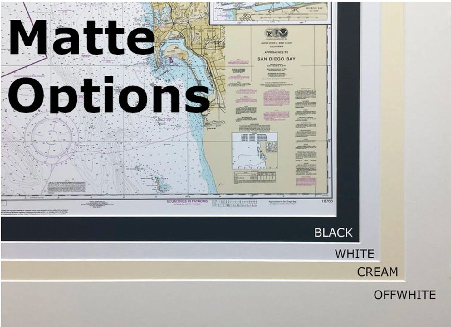
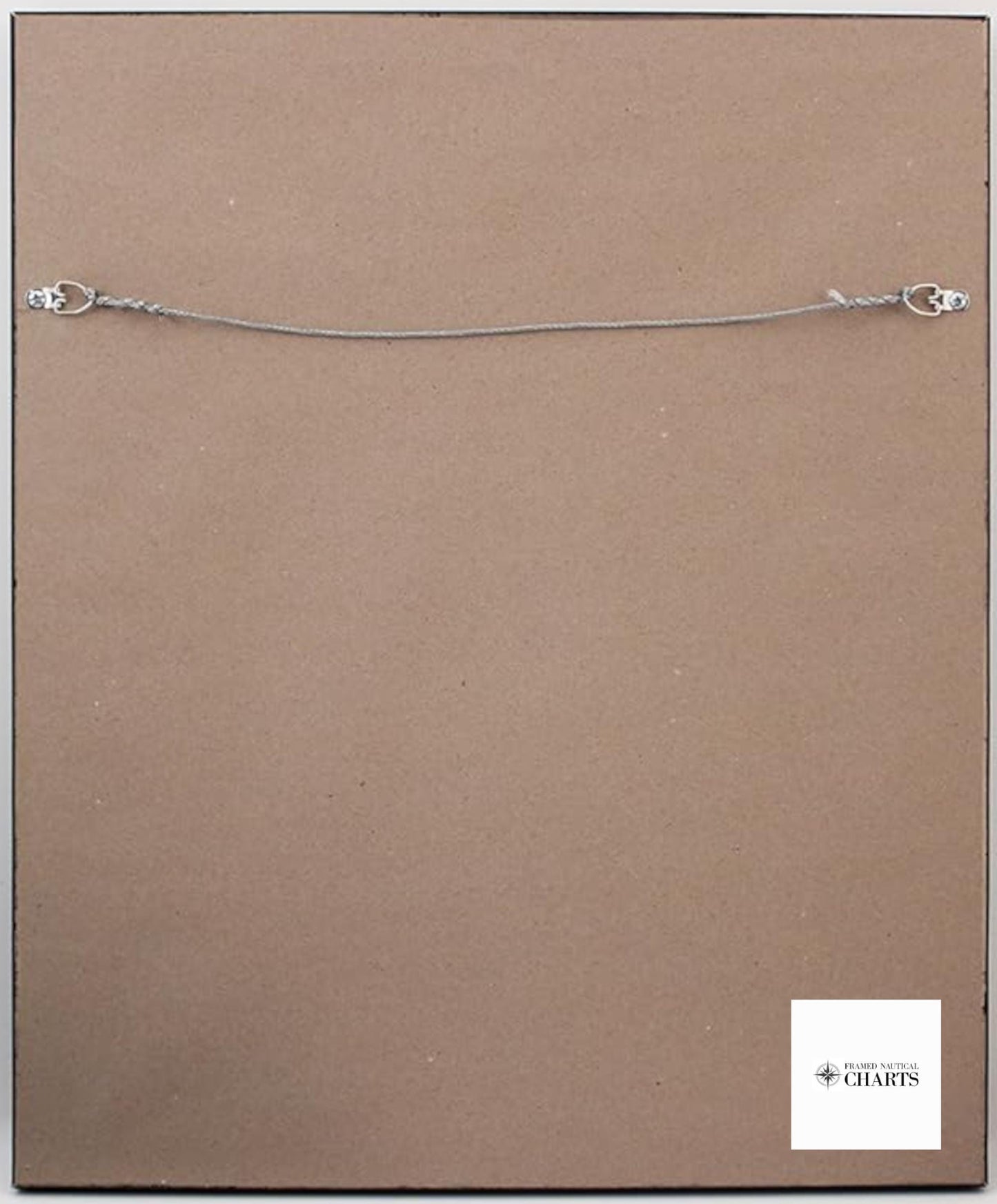
Our charts are presented in a solid wood frame and feature a museum-quality print, made from archival paper and inks for durability and stunning visual appeal. The design includes a sophisticated black mat and is protected by a glass front, ensuring a polished finish that enhances any space. The back is elegantly finished with a paper duster, and a wire hanger is included for straightforward installation.
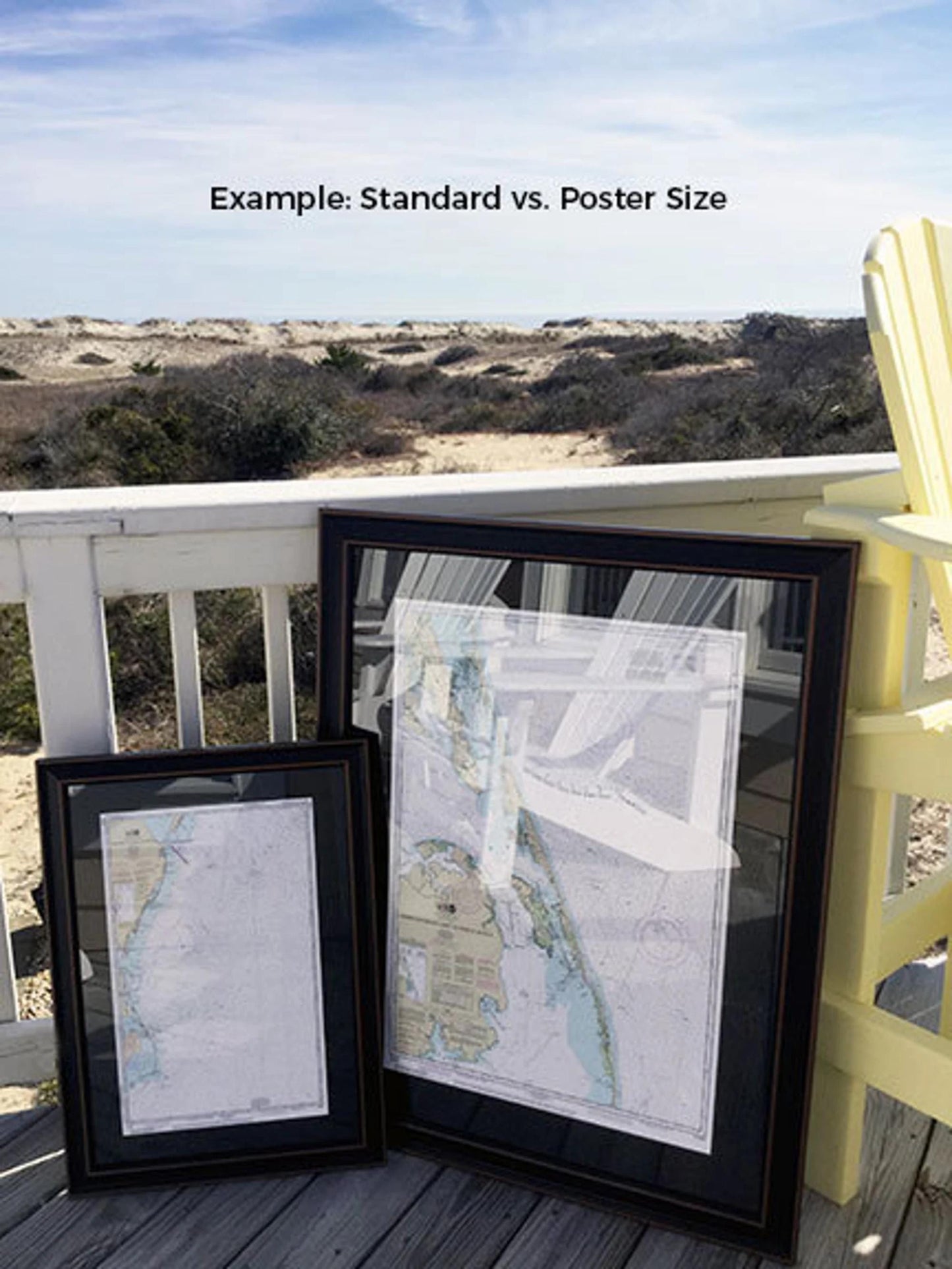
Available in two sizes to fit your needs:
- Standard Size: Outer frame dimensions approximately 17" W x 24" H
- Poster Size: Outer frame dimensions approximately 25 1/2" W x 36" H
If you're seeking a different frame option, feel free to reach out with your requests. We are more than happy to incorporate any sample photos you have to bring your vision to life.
*Important Shipping Note: We offer free ground shipping to the 48 contiguous states. While we do not increase shipping costs, please contact us for custom shipping quotes to Alaska and Hawaii, as these can be higher due to distance.
Share