Framed Nautical Charts
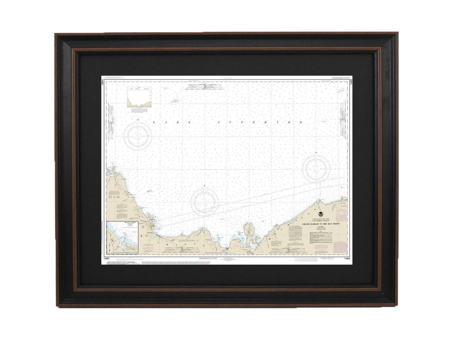
Framed Nautical Chart 14963 - Grand Marais to Big Bay Point, Lake Superior. NOAA 14963. Handmade in the USA.
Framed Nautical Chart 14963 - Grand Marais to Big Bay Point, Lake Superior. NOAA 14963. Handmade in the USA.
Couldn't load pickup availability
Explore the stunning waters of Lake Superior with our beautifully framed nautical chart, which captures the area from Grand Marais to Big Bay Point, including Big Bay Harbor in Michigan. This officially sanctioned NOAA nautical chart showcases the unique beauty and navigational details of these remarkable waters. Each chart is meticulously crafted by hand in the USA, ensuring exceptional quality and attention to detail.
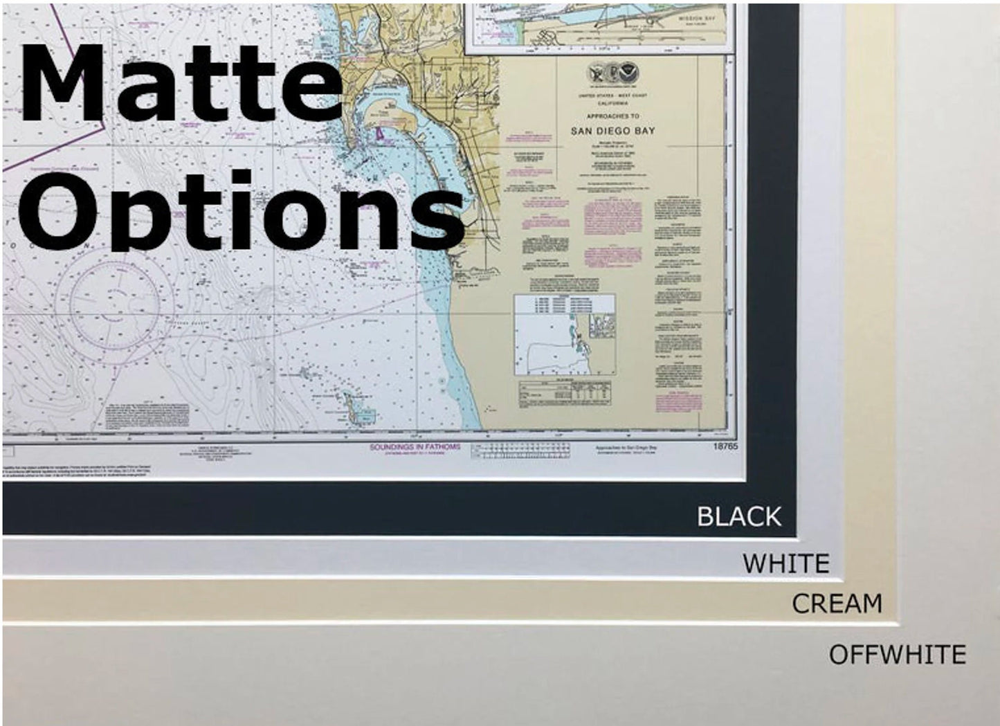
The chart is presented in a solid wood frame and features a museum-quality print made from archival paper and inks, ensuring longevity and vibrancy. It comes complete with a classic black mat and is protected by a glass front, making it a perfect addition to any home or office decor. The back is lined with a paper duster for a polished finish, and a wire hanger is included for easy installation.
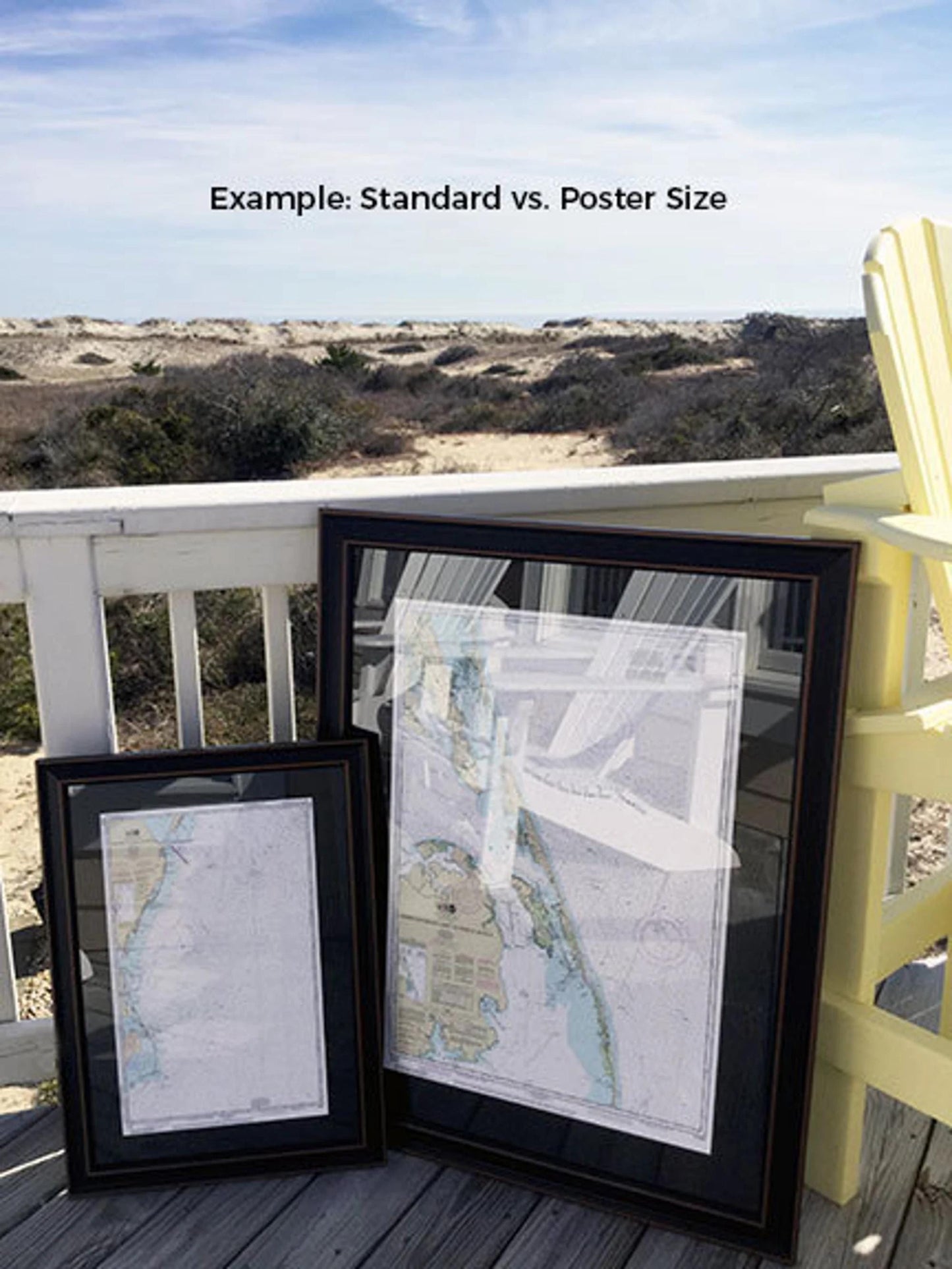
Our framed charts are available in two sizes to suit your needs:
- Standard size: approximately 24" W x 18" H
- Poster size: approximately 36" W x 26 3/4" H
If you're looking for a custom frame option, please don’t hesitate to reach out. We are happy to accommodate special requests and welcome any sample photos you may have to help us create your ideal piece.
*Important Shipping Note: Free ground shipping is available for orders within the 48 contiguous states. We do not increase shipping costs; however, due to higher shipping expenses to Alaska and Hawaii, please contact us for a custom shipping quote.
Share