Framed Nautical Charts
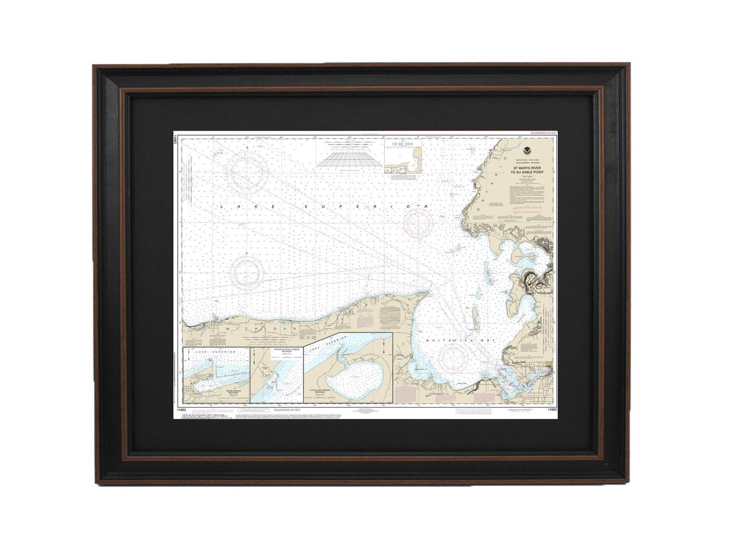
Framed Nautical Chart 14962 - St. Marys River to Au Sable Point, Lake Superior. NOAA 14962. Handmade in the USA.
Framed Nautical Chart 14962 - St. Marys River to Au Sable Point, Lake Superior. NOAA 14962. Handmade in the USA.
Couldn't load pickup availability
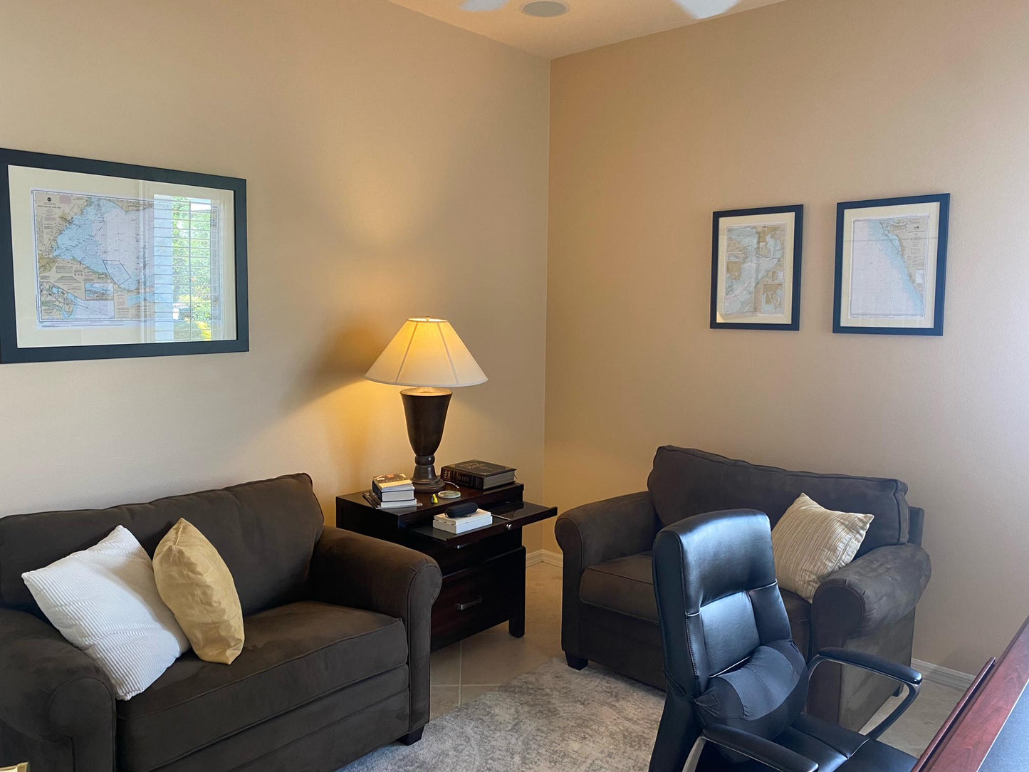
This beautifully framed nautical map showcases the stunning waters from the St. Marys River to Au Sable Point, encompassing Whitefish Point, Little Lake Harbors, and Grand Marais Harbor along Lake Superior, Michigan. As an official NOAA nautical chart, it provides detailed insights into these remarkable waterways. Each piece is custom handmade in the USA, ensuring exceptional craftsmanship and quality.
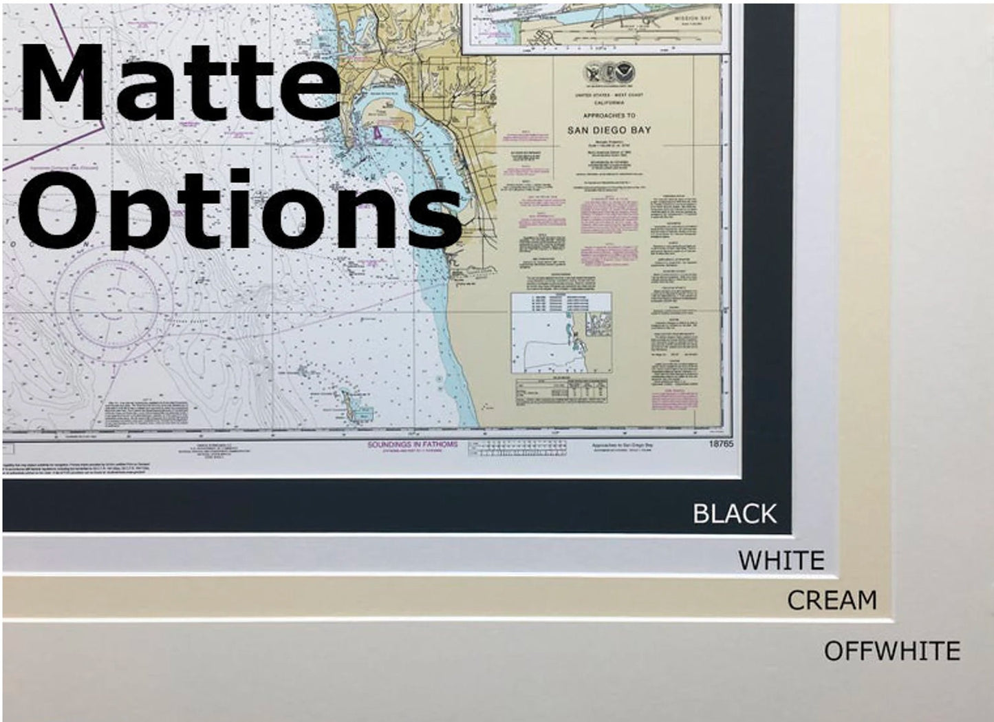
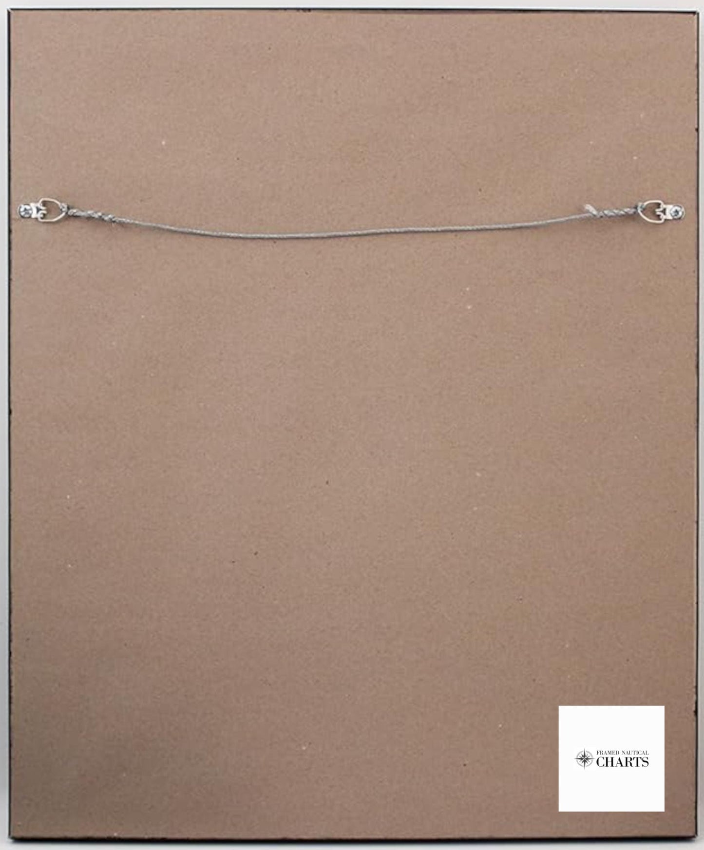
The chart is elegantly presented in a solid wood frame and features a museum-quality print created with archival paper and inks, guaranteeing durability and vibrancy. It is enhanced by a black mat and protected by a glass front, ensuring preservation and a polished look. The back is finished with a paper duster, and a wire hanger is included for easy installation.
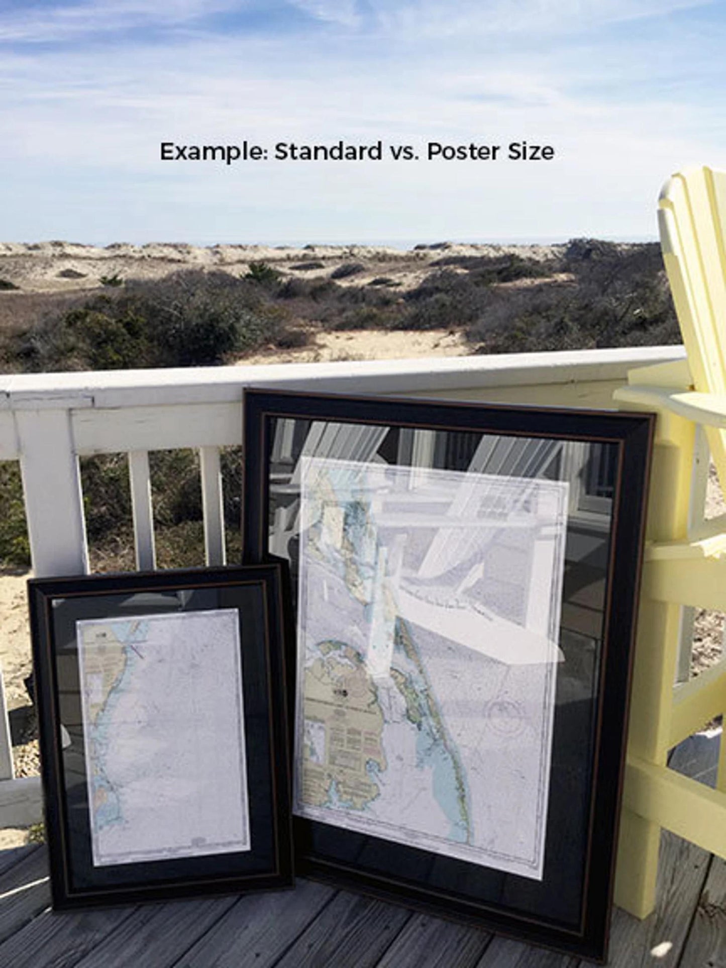
You can choose from two frame sizes:
- Standard size: outer frame dimensions of approximately 24" W x 18" H
- Poster size: outer frame dimensions of approximately 36" W x 27" H
If you're seeking a different frame option or have specific requirements, feel free to reach out to us. We are happy to accommodate your requests and welcome any sample photos you may have to help us create your vision.
*Important Shipping Note: Free ground shipping is available for deliveries to the 48 contiguous states. While we do not increase shipping costs, please contact us for custom shipping quotes if you are located in Alaska or Hawaii, as shipping rates can be high.
Share