Framed Nautical Charts
Framed Nautical Chart 14937 - Ludington Harbor. NOAA 14937. Handmade in the USA.
Framed Nautical Chart 14937 - Ludington Harbor. NOAA 14937. Handmade in the USA.
Couldn't load pickup availability
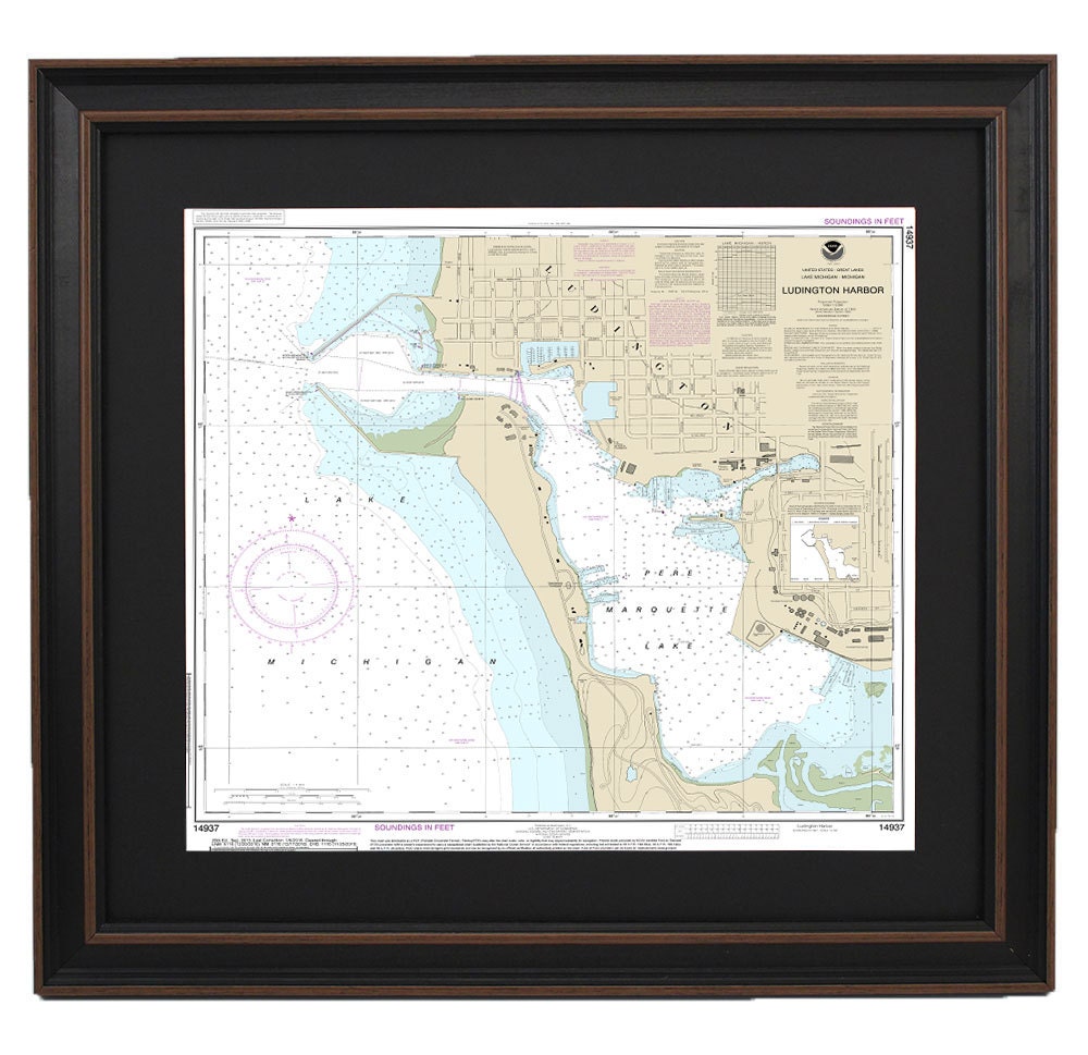
Discover the beauty of the waters surrounding Ludington Harbor with our exquisite Framed Nautical Chart 14937, officially produced by NOAA. This detailed nautical map showcases the intricate waterways of Ludington Harbor off Pere Marquette Lake, making it an ideal piece for maritime enthusiasts and those who cherish the natural beauty of Lake Michigan.
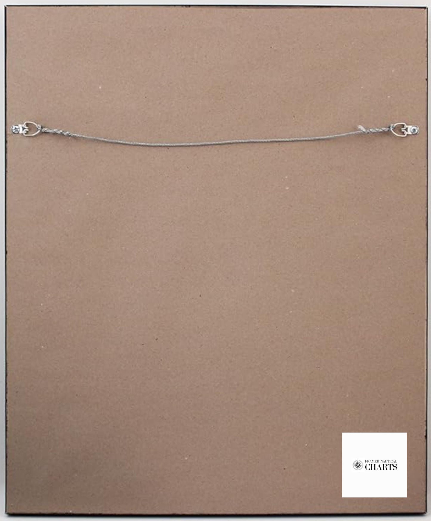
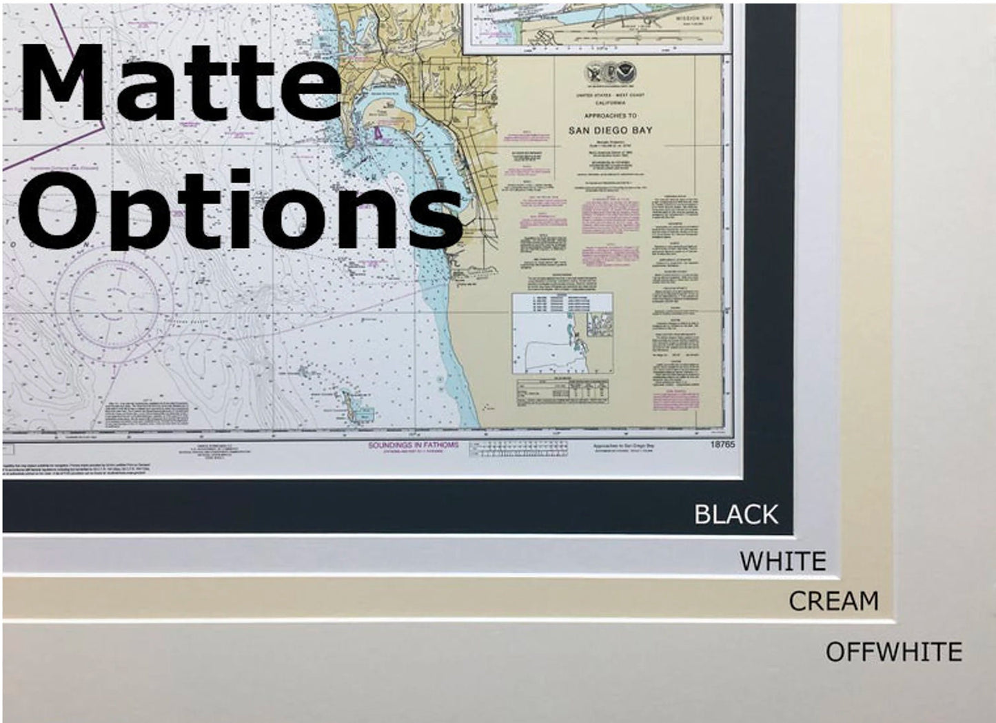
Handcrafted in the USA, each chart exemplifies exceptional craftsmanship and attention to detail. Presented in a solid wood frame, this nautical map features a museum-quality print crafted from archival paper and inks, ensuring both durability and stunning visuals. The design includes a sophisticated black mat and is protected by a glass front, preserving its beauty for years to come. The back is elegantly finished with a paper duster, and a wire hanger is included for effortless installation.
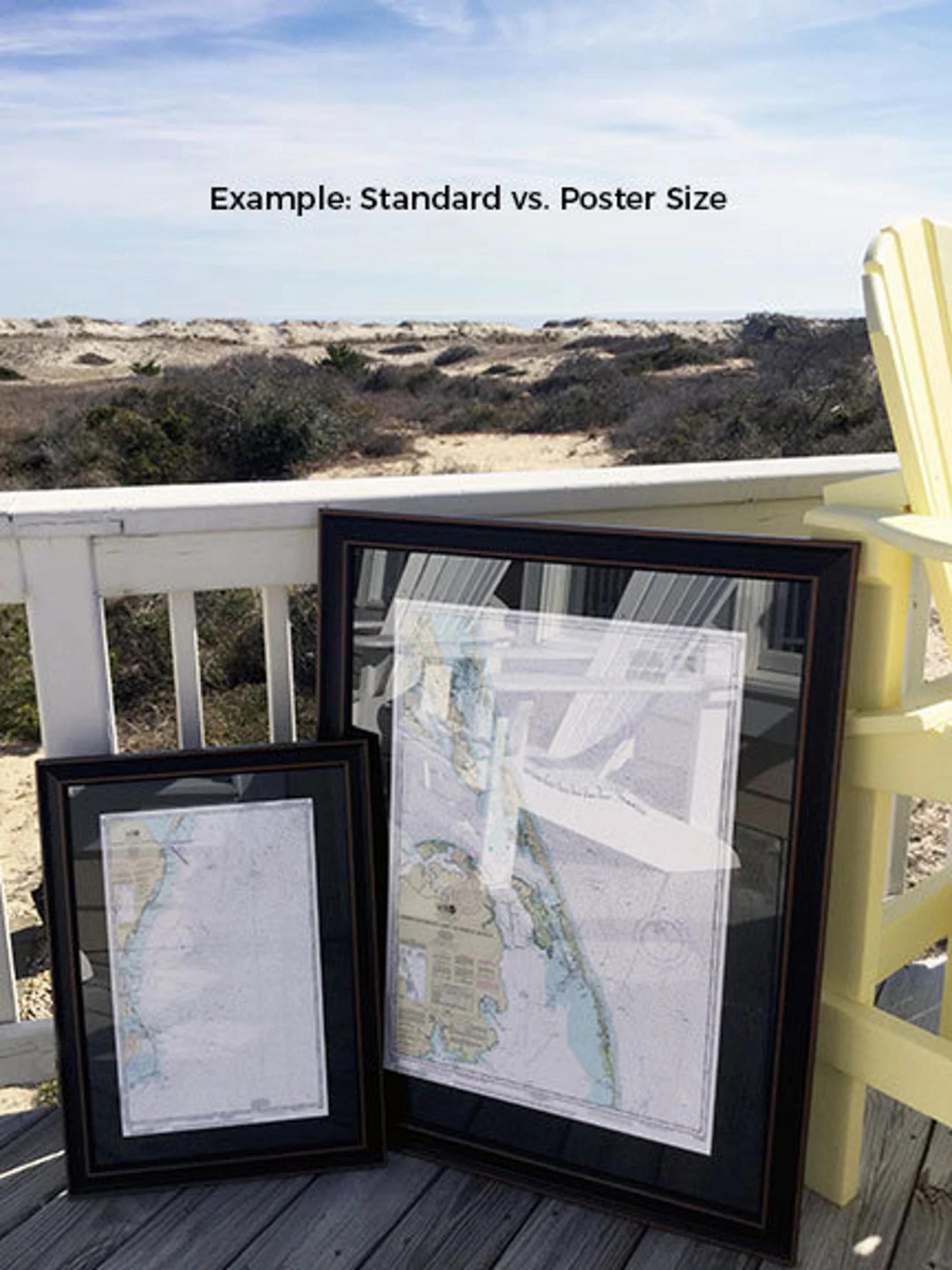
Available in two frame sizes to suit any space:
- Standard size: Outer frame dimensions approximately 24" W x 23 1/4" H
- Poster size: Outer frame dimensions approximately 36" W x 35" H
If you’re seeking a unique frame option tailored to your style, we encourage you to reach out with your requests. We are happy to work with you and create a piece that perfectly matches your vision.
*Important Shipping Note: We offer free ground shipping for customers in the 48 contiguous states. While we do not impose additional shipping costs, please contact us for custom shipping quotes to Alaska and Hawaii due to varying rates. Enhance your decor with this stunning framed nautical chart that captures the essence of Ludington Harbor.
Share