Framed Nautical Charts
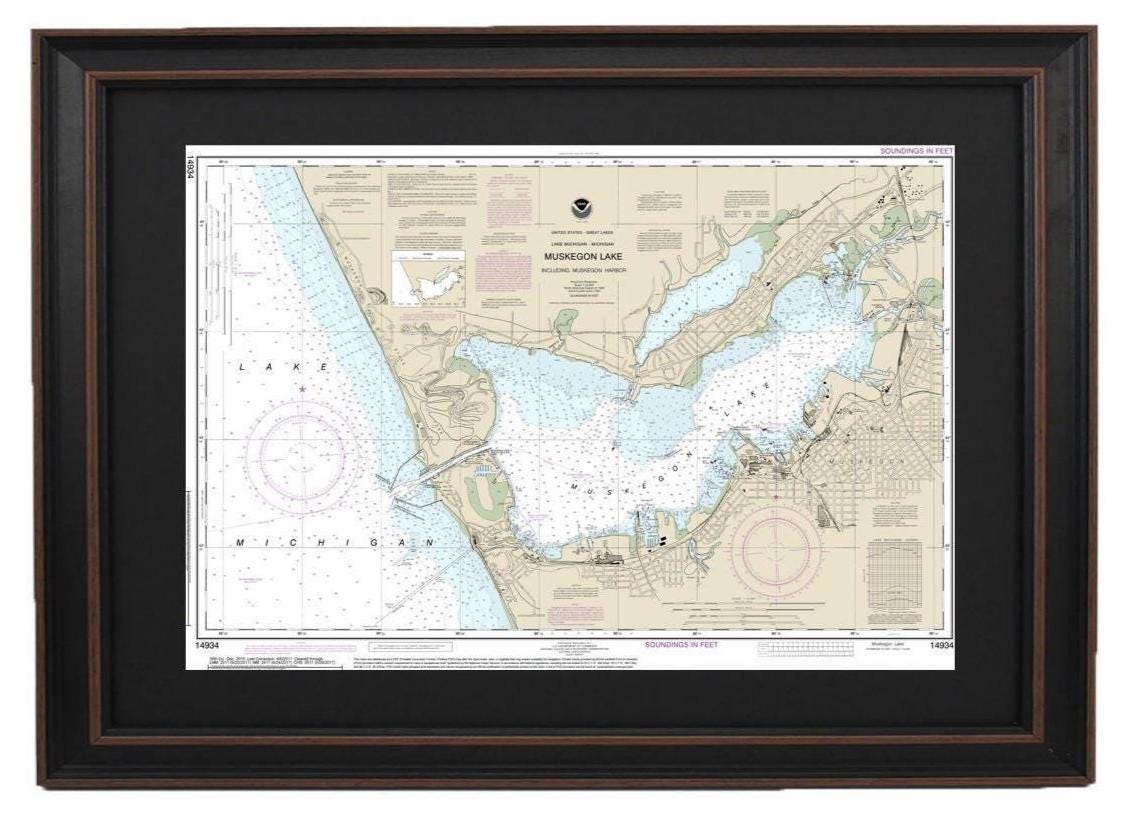
Framed Nautical Chart 14934 - Muskegon Lake and Harbor, Lake Michigan. NOAA 14934. Handmade in the USA.
Framed Nautical Chart 14934 - Muskegon Lake and Harbor, Lake Michigan. NOAA 14934. Handmade in the USA.
Couldn't load pickup availability
This exquisite Framed Nautical Chart showcases the stunning waters of Muskegon Lake and Muskegon Harbor, located in Lake Michigan. Officially recognized by NOAA (Nautical Chart 14934), this detailed map captures the unique beauty of these waterways. Every chart is lovingly handmade in the USA, ensuring the highest standards of craftsmanship.
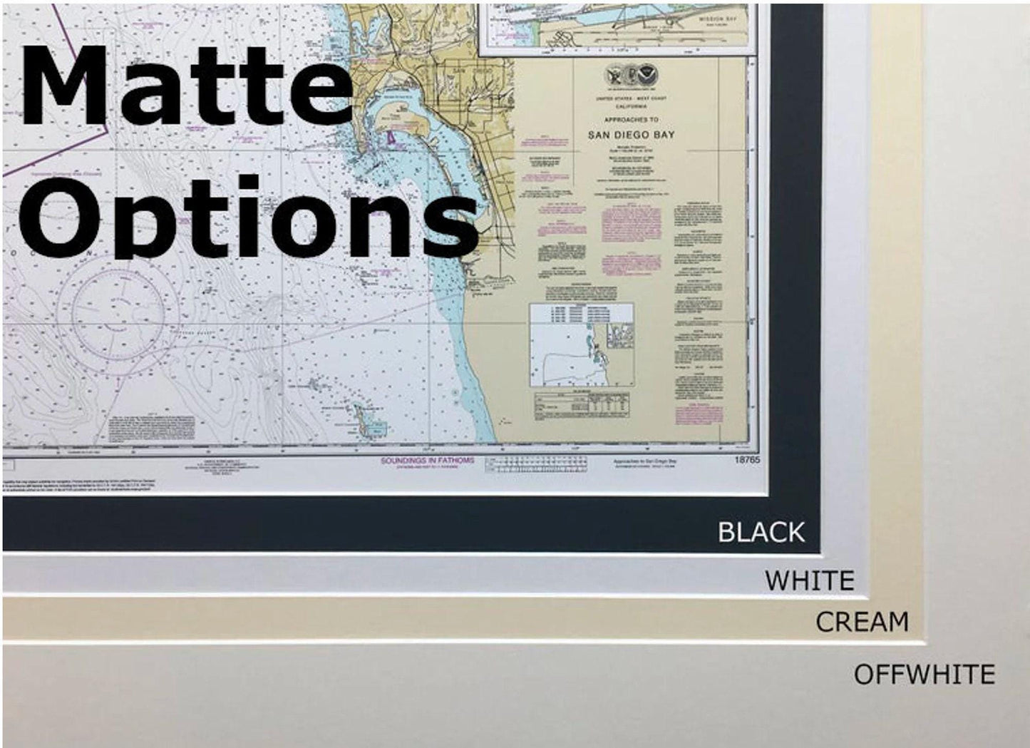
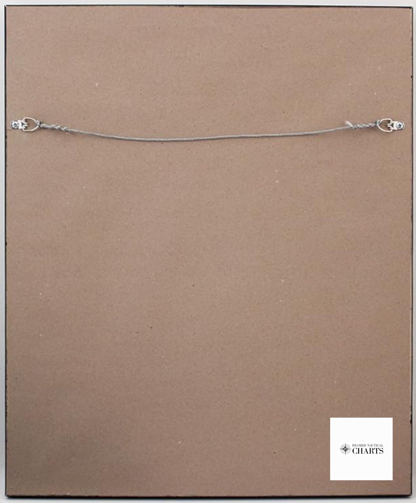
Crafted with care, the chart is elegantly presented in a solid wood frame and features a museum-quality print produced with archival inks on durable paper. It is enhanced by a sophisticated black mat and protected by a glass front, making it a perfect addition to your home or office decor. Each piece is finished with a paper duster on the back and includes a wire hanger for easy installation.
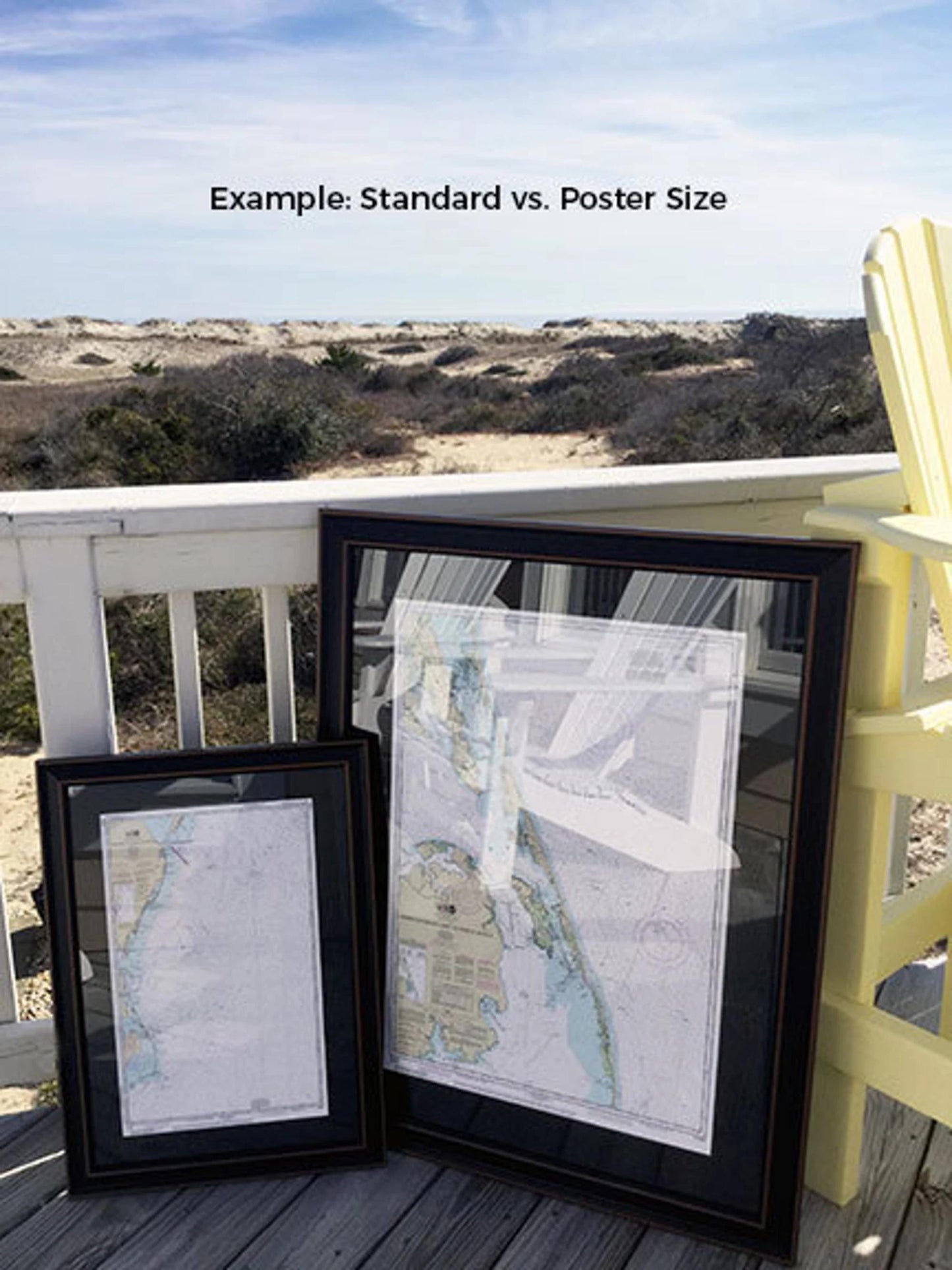
We offer two frame sizes to suit your needs:
- Standard size: Outer frame dimensions approximately 24" W x 16 1/2" H
- Poster size: Outer frame dimensions approximately 36" W x 24 1/2" H
If you're interested in a different framing option, please don’t hesitate to reach out with your request. We welcome any sample photos that can help us bring your vision to life.
*Important Shipping Note: Free ground shipping is available for orders shipped to the 48 contiguous states. While we do not inflate shipping costs, please be aware that shipping to Alaska and Hawaii incurs higher fees. For custom shipping quotes, feel free to contact us.*
Share