Framed Nautical Charts
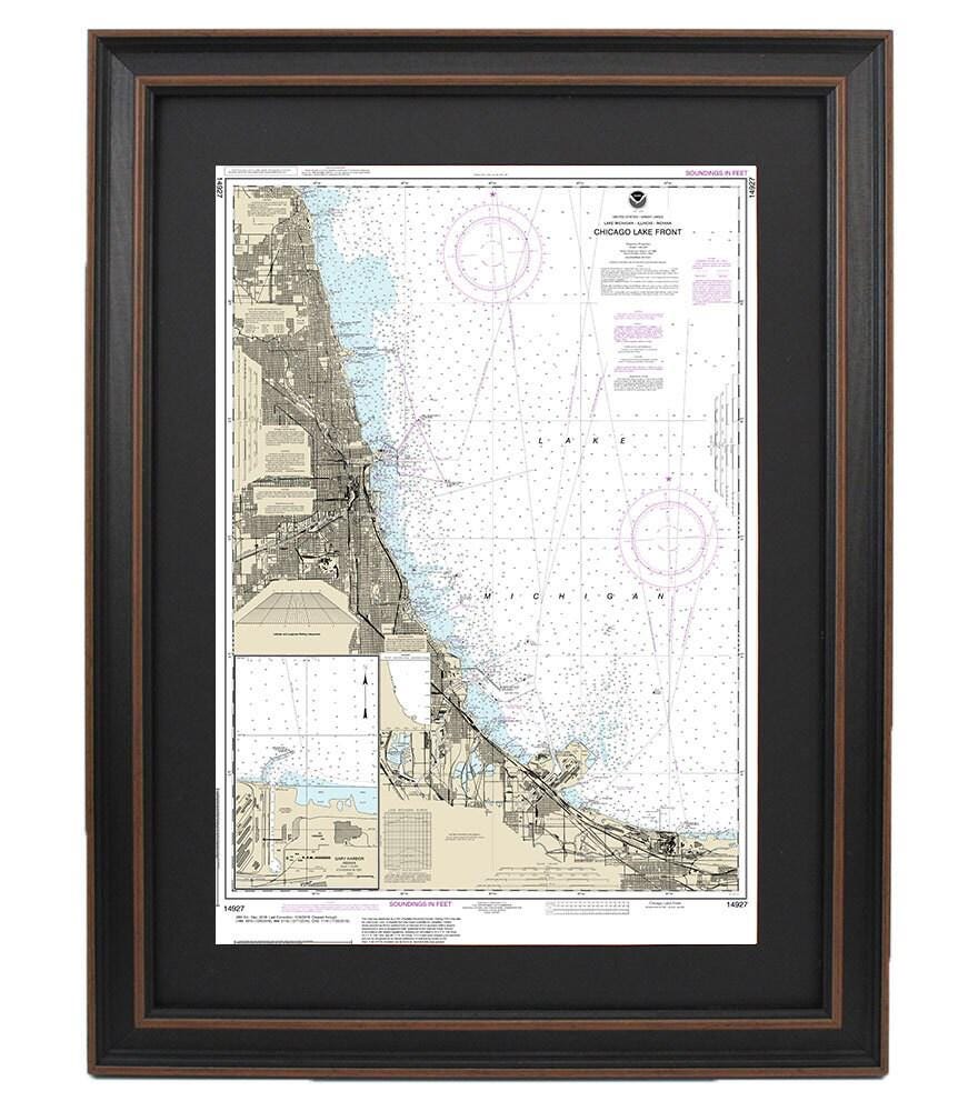
Framed Nautical Chart 14927 - Chicago Lake Front. Gary Harbor. NOAA 14927. Handmade in the USA.
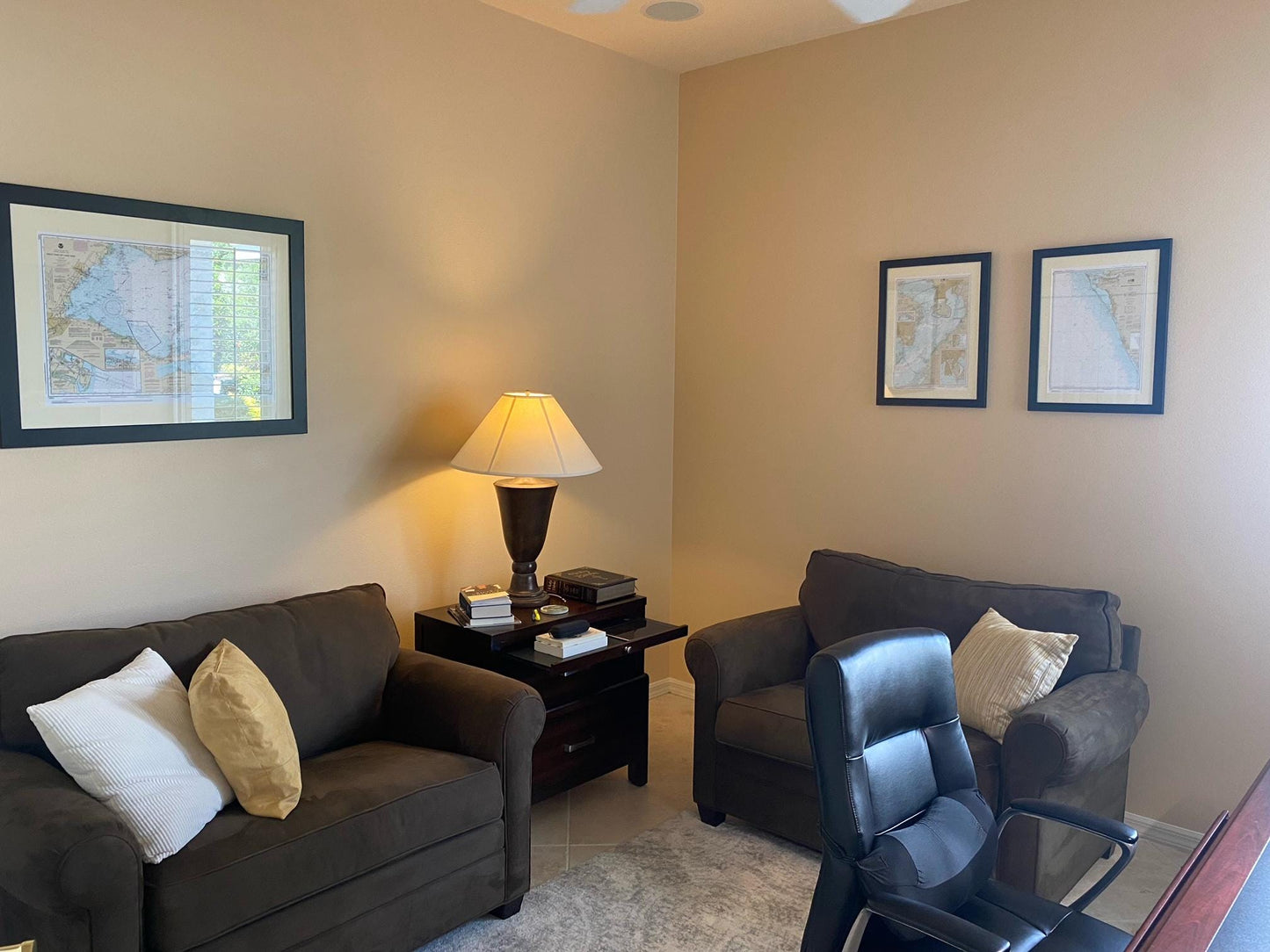
Framed Nautical Chart 14927 - Chicago Lake Front. Gary Harbor. NOAA 14927. Handmade in the USA.
Couldn't load pickup availability
Discover the beauty of the Chicago Lake Front with our framed nautical chart, NOAA 14927, highlighting the stunning Gary Harbor in Michigan. This meticulously crafted nautical map not only captures the essence of the waterways but also serves as a striking piece of art for your home or office.
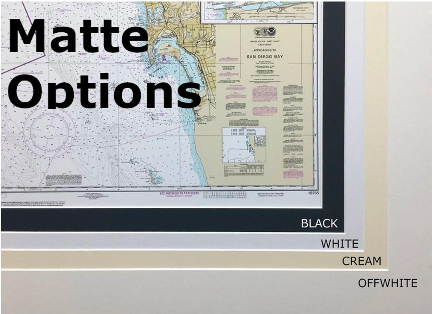
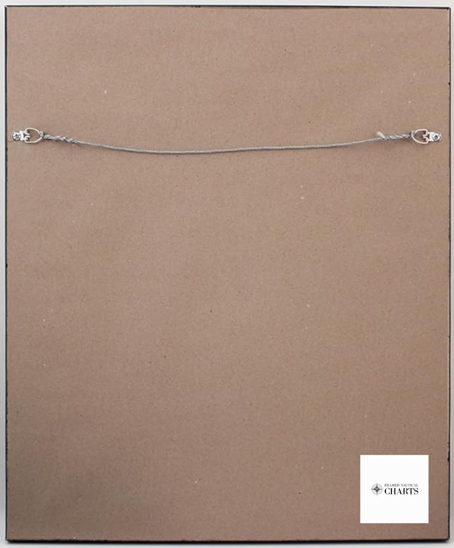
Each chart is custom handmade in the USA, showcasing exceptional craftsmanship. The nautical map is beautifully presented in a solid wood frame and features a museum-quality print made with archival paper and inks to ensure lasting vibrancy and detail. The design includes a sophisticated black mat and a protective glass front that accentuates the chart while safeguarding it from dust and damage. The back is finished with a paper duster for a polished look, and a convenient wire hanger is included for easy installation.
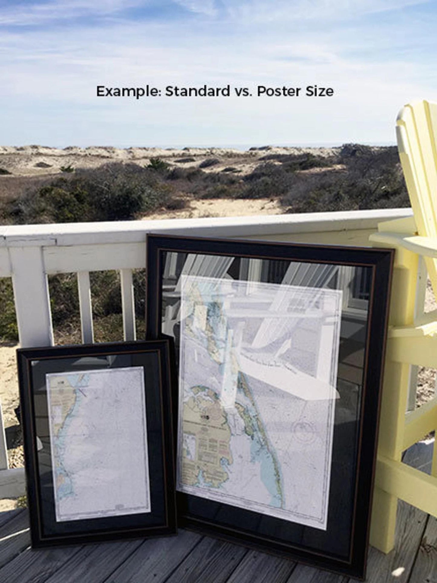
This framed nautical chart is available in two sizes to fit your space:
- Standard size: outer frame dimensions approximately 24" W x 16 ¾" H
- Poster size: outer frame dimensions approximately 36" W x 25" H
If you have a specific frame style in mind, don’t hesitate to reach out with your request. We are happy to collaborate with you and bring your vision to life, and we welcome any sample photos you may wish to share.
*Important Shipping Note: Free ground shipping is available only for shipments within the 48 contiguous states. While we do not increase shipping costs, please contact us for a custom quote regarding shipping to Alaska and Hawaii due to higher rates. Experience the charm of the Chicago Lake Front and elevate your space with this unique, handcrafted nautical chart.
Share