Framed Nautical Charts
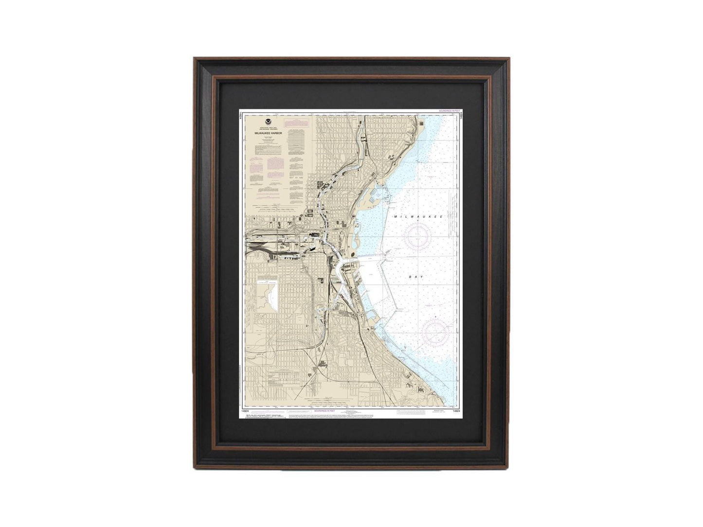
Framed Nautical Chart 14924 - Milwaukee Harbor, Lake Michigan, Wisconsin NOAA 14924. Handmade in the USA.
Framed Nautical Chart 14924 - Milwaukee Harbor, Lake Michigan, Wisconsin NOAA 14924. Handmade in the USA.
Couldn't load pickup availability
Discover the stunning beauty of Milwaukee Harbor with this expertly crafted Framed Nautical Map, showcasing the intricate details of Lake Michigan, Wisconsin. This official NOAA Nautical Chart beautifully represents these enchanting waters, making it a perfect addition to your home or office decor.
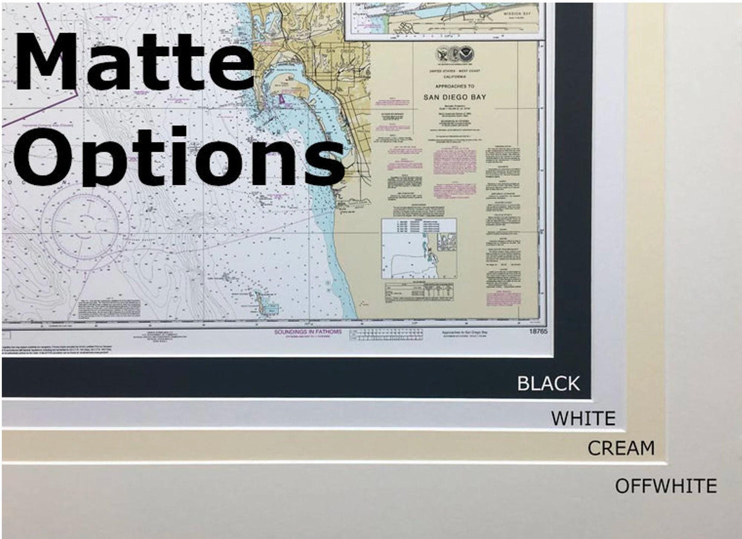
Each chart is meticulously handmade in the USA, reflecting a commitment to high craftsmanship standards. Encased in a solid wood frame, the map features a museum-quality print made from archival paper and inks that ensure longevity and vibrancy. The design is further enhanced with a black mat and protected by a glass front, providing both elegance and durability. The back is neatly finished with a paper duster, and a wire hanger is included for effortless installation.
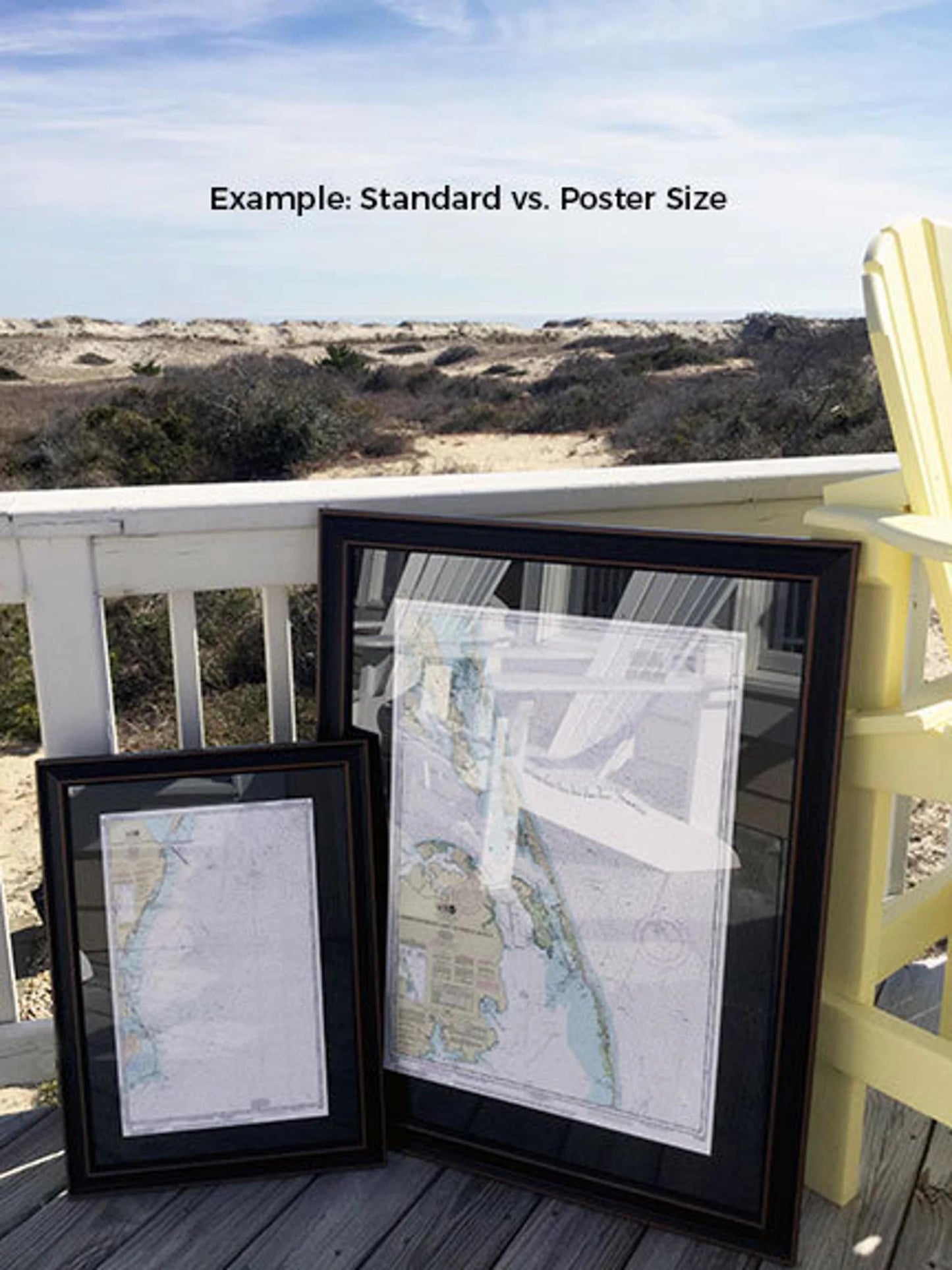
Choose from two convenient frame sizes to best fit your space:
- Standard Size: Outer frame dimensions of approximately 17 1/4" W x 24" H
- Poster Size: Outer frame dimensions of approximately 26" W x 36" H
If you have a specific frame style in mind, feel free to reach out with your request; we are happy to work with you to create your perfect piece.
*Important Shipping Note: We offer free ground shipping for deliveries within the 48 contiguous states. While we do not inflate shipping costs, please contact us for custom shipping quotes to Alaska and Hawaii due to the higher shipping rates.
Share