Framed Nautical Charts
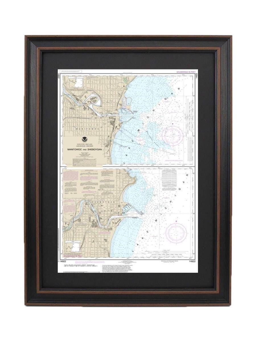
Framed Nautical Chart 14922 - Manitowoc and Sheboygan, Lake Michigan, Wisconsin. NOAA 14922. Handmade in the USA.
Framed Nautical Chart 14922 - Manitowoc and Sheboygan, Lake Michigan, Wisconsin. NOAA 14922. Handmade in the USA.
Couldn't load pickup availability
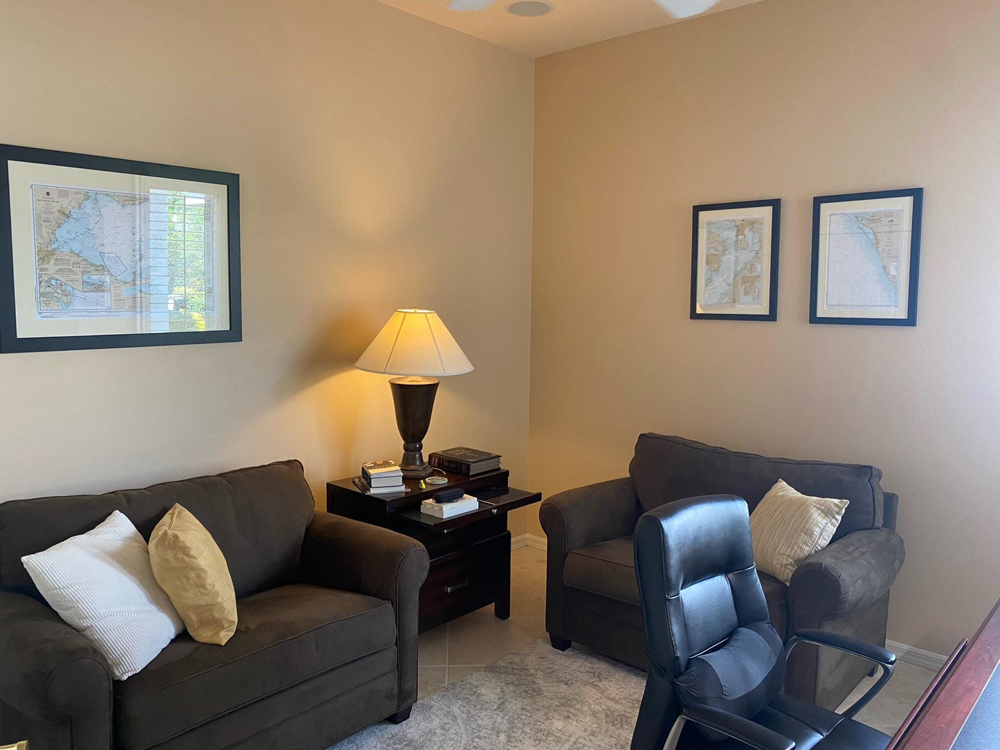
Discover the beauty of Lake Michigan with this exquisite Framed Nautical Chart, featuring the Manitowoc and Sheboygan areas of Wisconsin. This official NOAA Nautical Chart expertly captures the intricate details of these stunning waters. Each chart is meticulously handmade in the USA, showcasing our commitment to high craftsmanship standards.
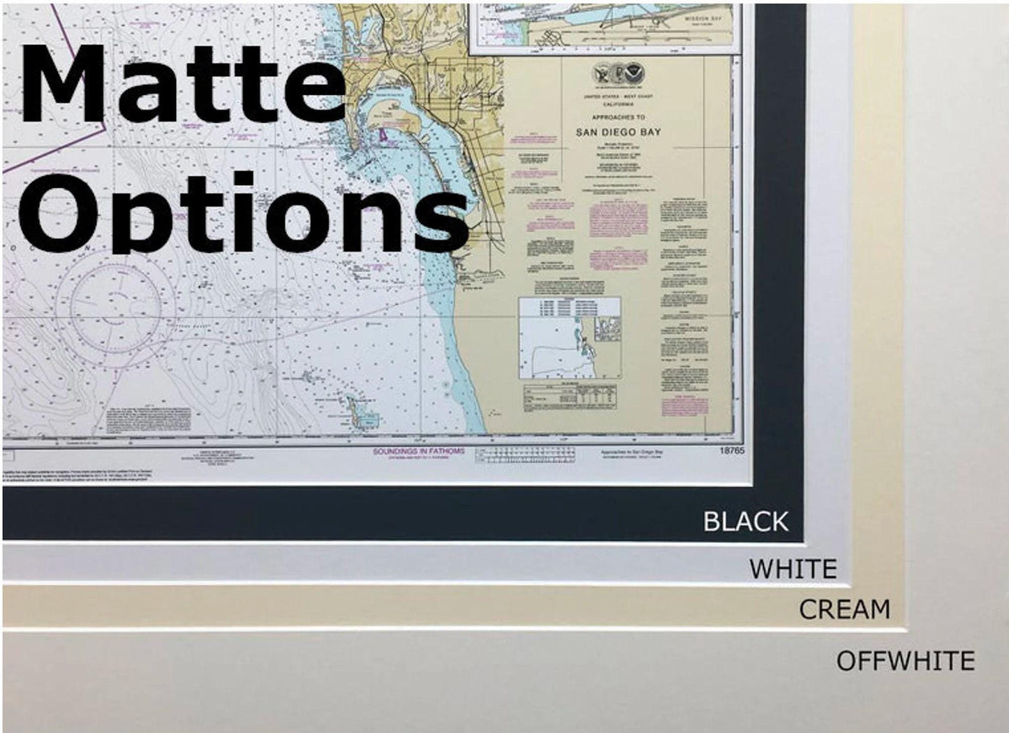
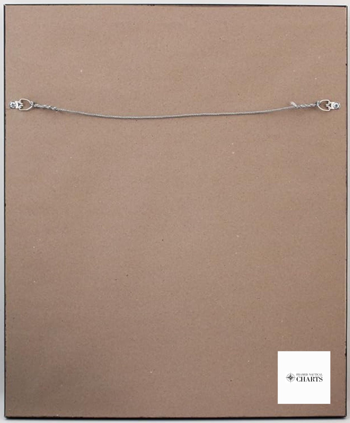
This nautical map comes in a solid wood frame, complemented by a museum-quality print produced on archival paper using high-quality inks. A classic black mat enhances the aesthetic appeal, while a glass front protects the chart from dust and damage. The back is elegantly finished with a paper duster, and a convenient wire hanger is included for easy installation.
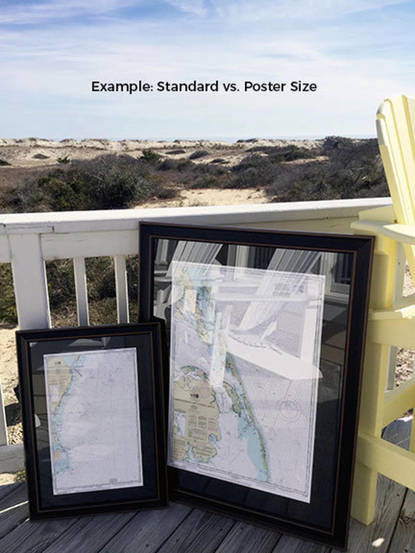
Choose from two frame sizes to fit your space perfectly:
- Standard Size: Outer frame dimensions approximately 15 1/4" W x 24" H
- Poster Size: Outer frame dimensions approximately 23" W x 36" H
If you're interested in a different framing option, feel free to contact us with your preferences. We welcome any sample photos you may have to help customize your vision.
*Important Shipping Note: We offer free ground shipping to the 48 contiguous states. While we do not inflate shipping costs, please reach out for a custom shipping quote if you are located in Alaska or Hawaii, as shipping can be more expensive to these regions.
Share