

Framed Nautical Charts
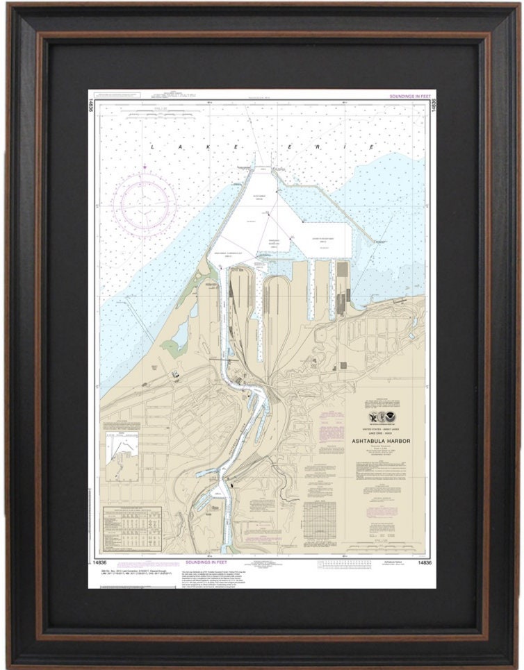
Framed Nautical Chart 14836 - Ashtabula Harbor, Lake Erie. NOAA 14836 Handmade in the USA.
Framed Nautical Chart 14836 - Ashtabula Harbor, Lake Erie. NOAA 14836 Handmade in the USA.
Couldn't load pickup availability
Discover the beauty of Ashtabula Harbor on Lake Erie with this exquisite Framed Nautical Chart 14836. This official NOAA Nautical Chart captures the intricate details of these stunning waters, making it a perfect addition for nautical enthusiasts and anyone who appreciates maritime history.
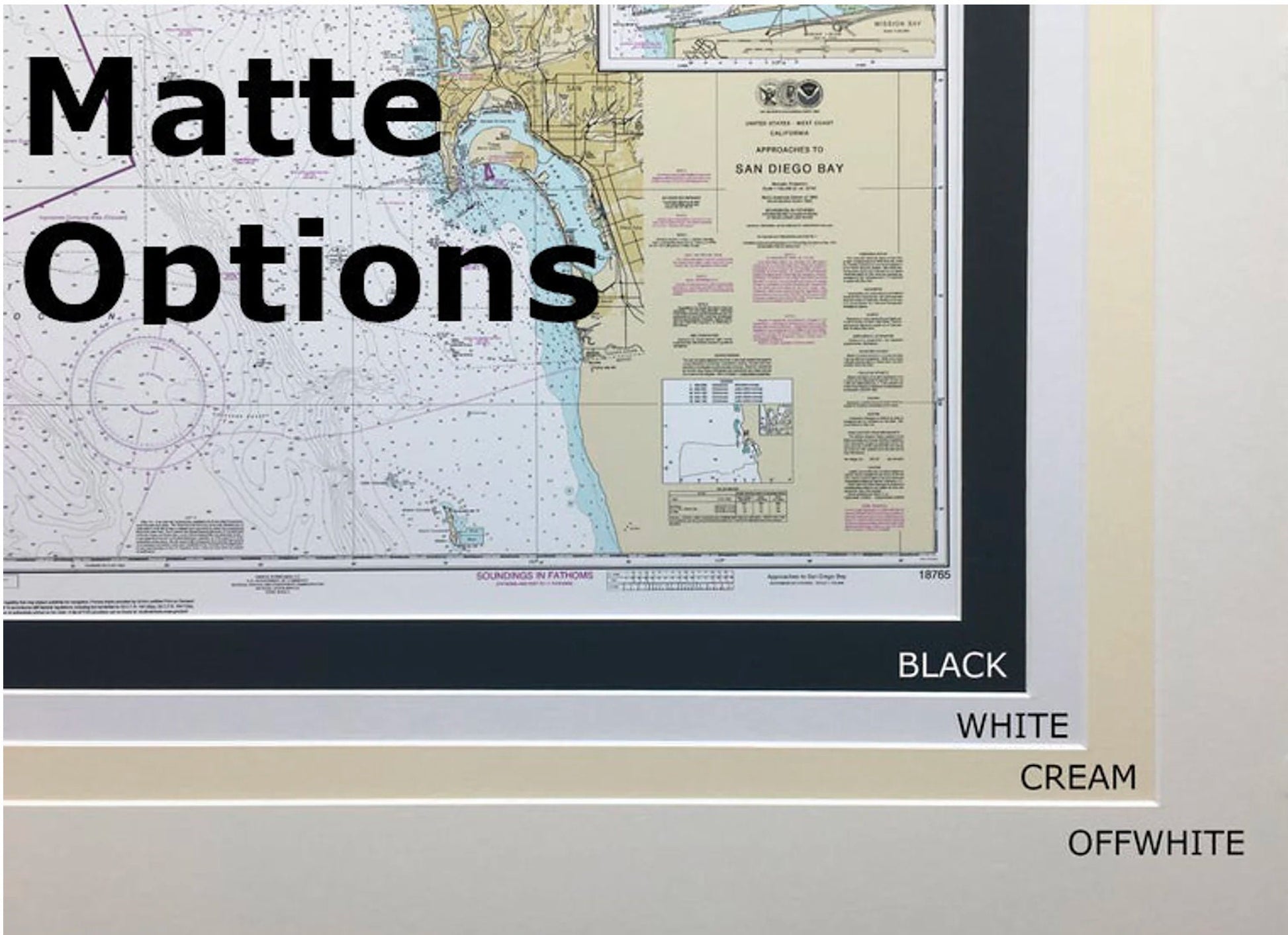
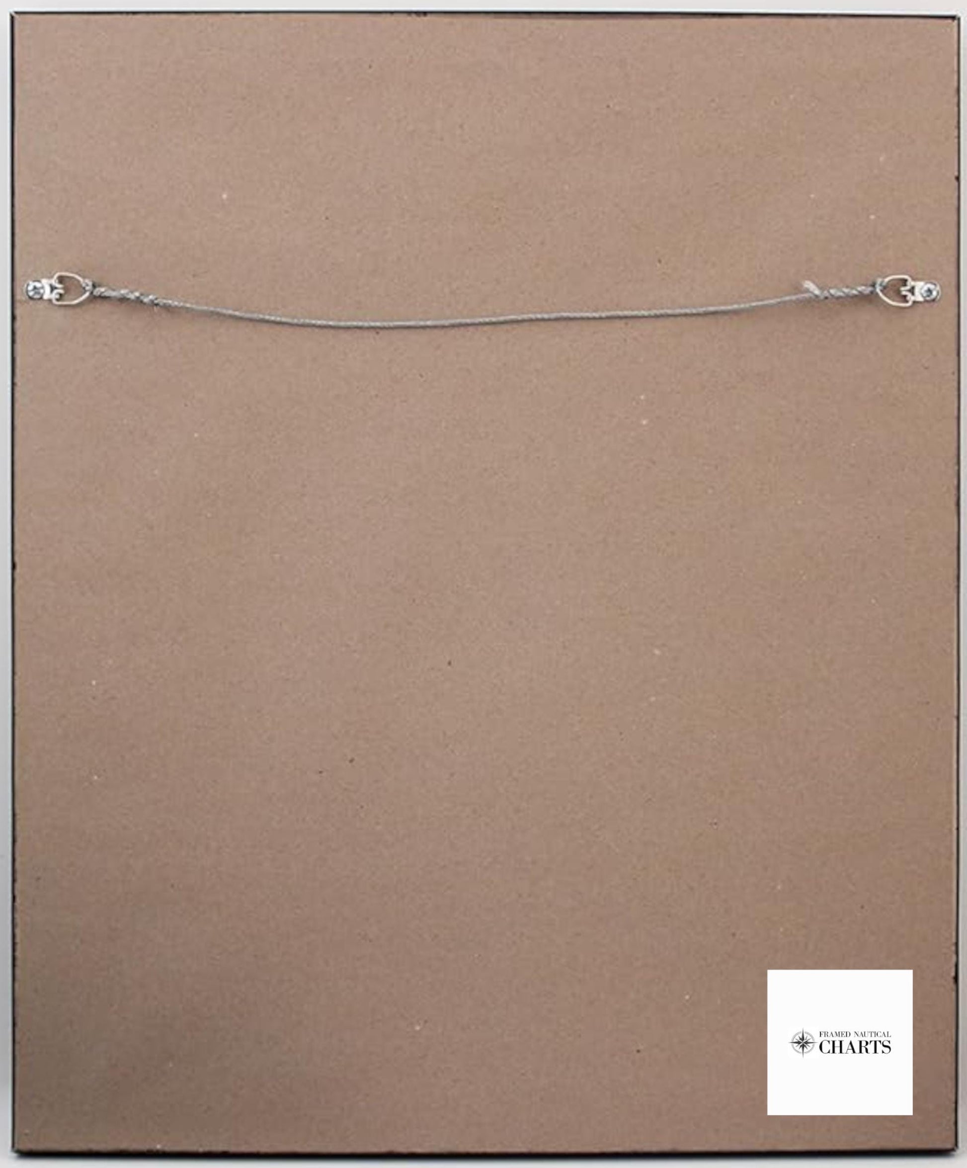
Handcrafted in the USA, this framed nautical map showcases exceptional craftsmanship. It is presented in a sturdy solid wood frame and features a museum-quality print, created using archival paper and inks for longevity. The chart is elegantly complemented by a black mat and protected by a glass front, ensuring its beauty is preserved for years to come. The back is finished off with a paper duster, and a wire hanger is included for easy mounting on your wall.
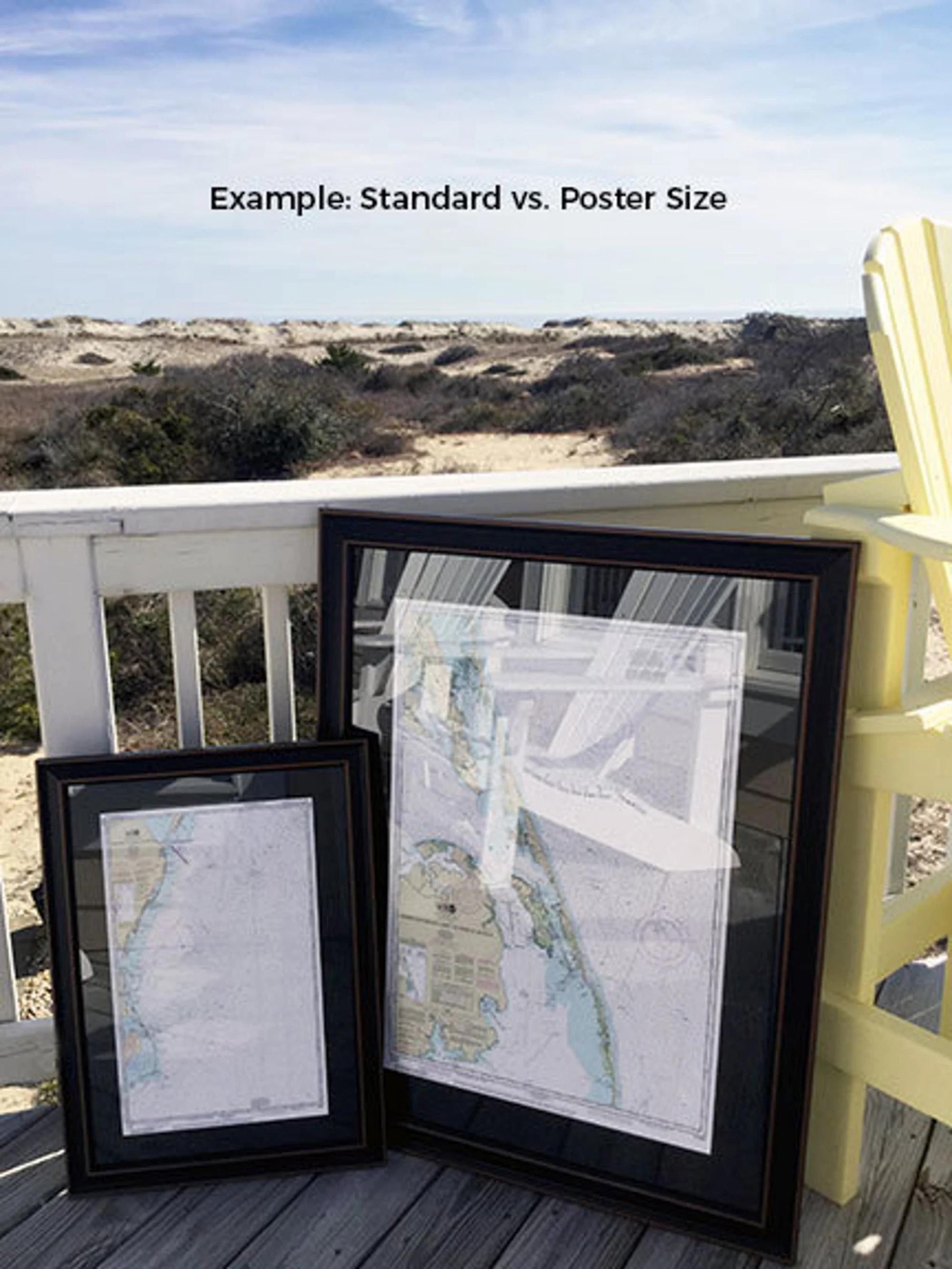
Available in two sizes, this framed chart caters to your display needs: the standard size measures approximately 16 3/4" W x 24" H, while the poster size measures approximately 25" W x 36" H. If you're searching for a different frame option, don't hesitate to reach out with your custom requests. We'd love to collaborate with you to create a piece that perfectly matches your vision.
*Important Shipping Note: Free ground shipping is available for orders shipped within the 48 contiguous states. We strive to keep shipping costs fair, but due to the higher rates to Alaska and Hawaii, please contact us for a personalized shipping quote.
Share