Framed Nautical Charts
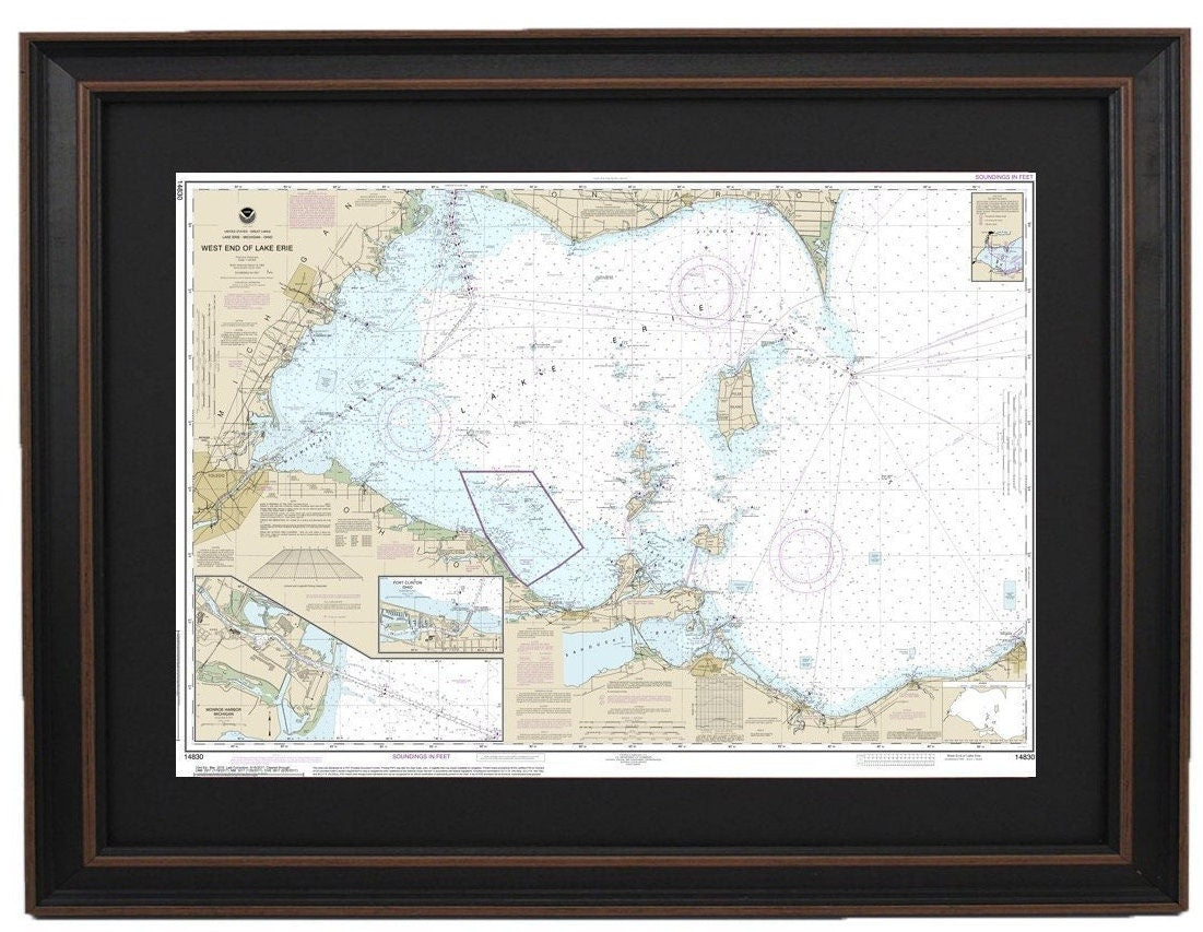
Framed Nautical Chart 14830 - Lake Erie. West End of Lake Erie. NOAA 14830. Handmade in the USA.
Framed Nautical Chart 14830 - Lake Erie. West End of Lake Erie. NOAA 14830. Handmade in the USA.
Couldn't load pickup availability
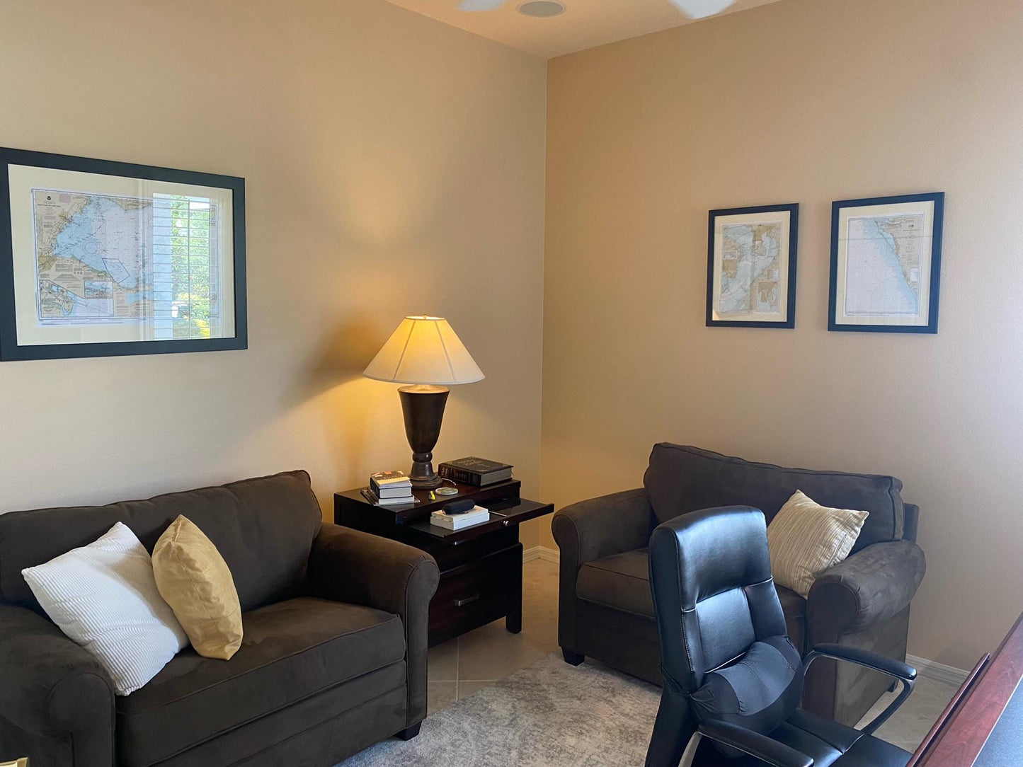
This exquisite Framed Nautical Chart showcases the stunning waters of Lake Erie, specifically the West End, including Port Clinton Harbor, Monroe Harbor, and the area from Lorain to the Detroit River, as well as Vermilion. As the official NOAA Nautical Chart 14830, it details these remarkable regions with precision and authenticity.
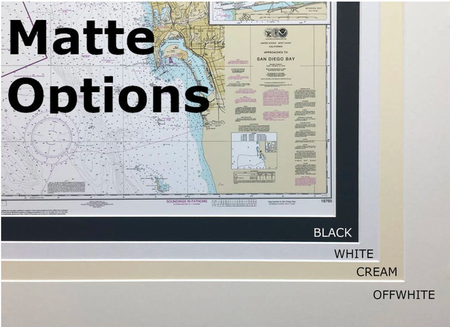
Each chart is custom handmade in the USA, reflecting a high standard of craftsmanship. It comes beautifully presented in a solid wood frame, enhanced by a museum-quality print made from archival paper and inks, ensuring long-lasting vibrancy. The framed chart features a sleek black mat and is safeguarded by a glass front, providing both elegance and protection. The back of the frame is finished with a paper duster, and a wire hanger is included for easy installation.
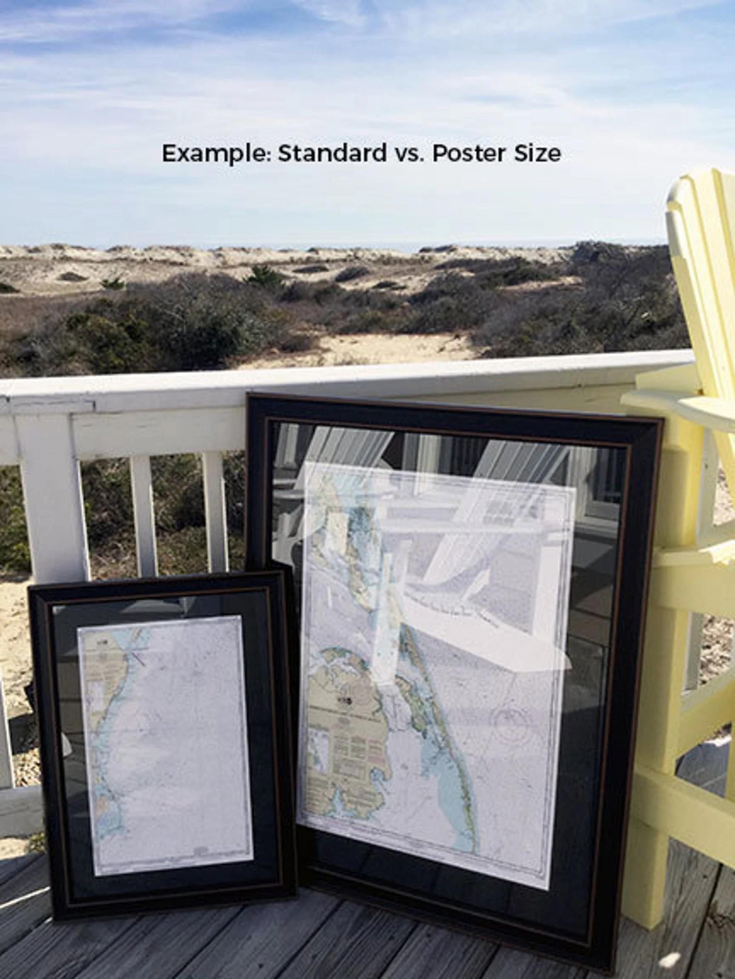
This nautical map is available in two sizes:
- Standard: Approx. 24" W x 16.75" H
- Poster: Approx. 36" W x 25.25" H
For those seeking a different frame option, we encourage you to reach out with your requests. We welcome any sample photos you may have to help us create exactly what you envision.
*Important Shipping Note: Free ground shipping is available only for shipments to the 48 contiguous states. While we do not mark up additional shipping costs, please contact us for custom shipping quotes for Alaska and Hawaii due to the higher shipping fees.* Experience the beauty of Lake Erie in your home with this unique artisan-crafted piece!
Share