Framed Nautical Charts
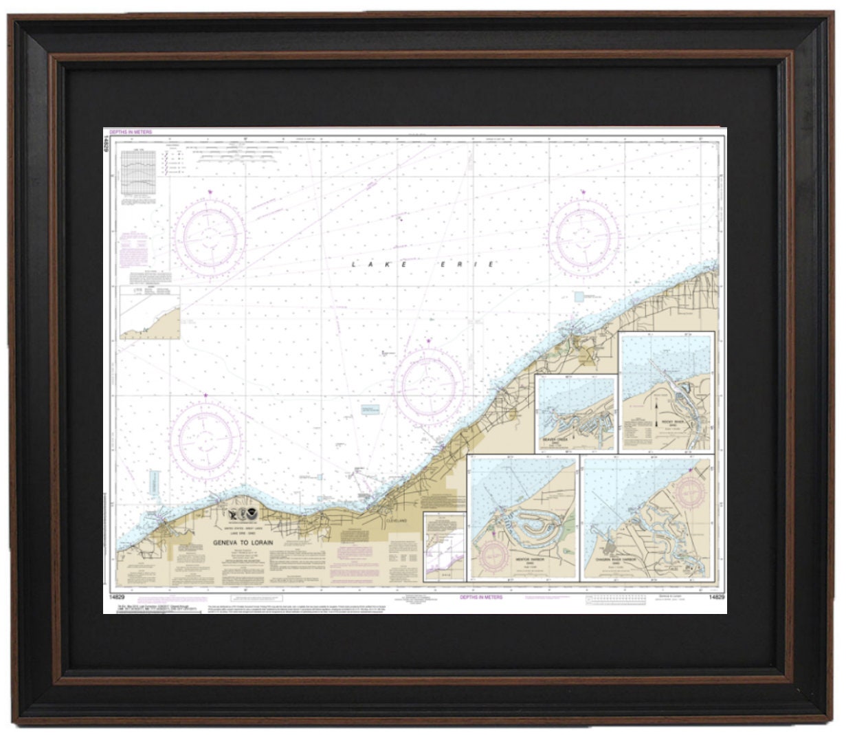
Framed Nautical Chart 14829 - Lake Erie. Geneva to Lorain. NOAA 14829. Handmade in the USA.
Framed Nautical Chart 14829 - Lake Erie. Geneva to Lorain. NOAA 14829. Handmade in the USA.
Couldn't load pickup availability
This beautifully framed nautical map showcases the stunning waters of Lake Erie, specifically the region from Geneva to Lorain, including notable areas such as Beaver Creek, Rocky River, Mentor Harbor, and Chagrin River. This official NOAA Nautical Chart serves as a detailed representation of these picturesque waterways.
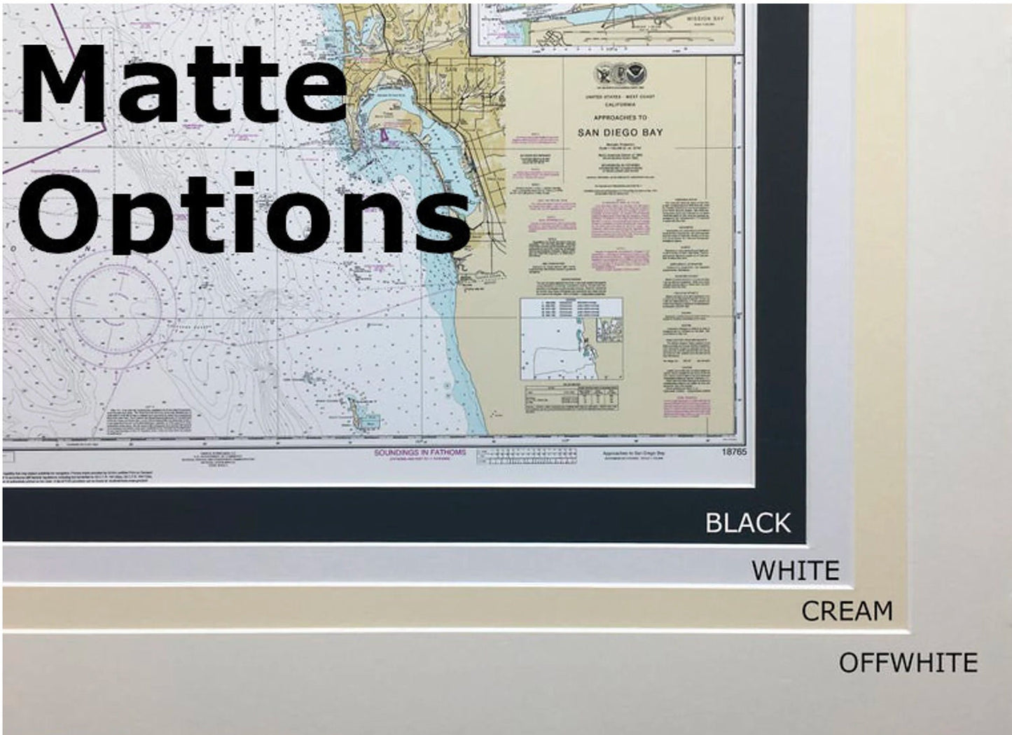
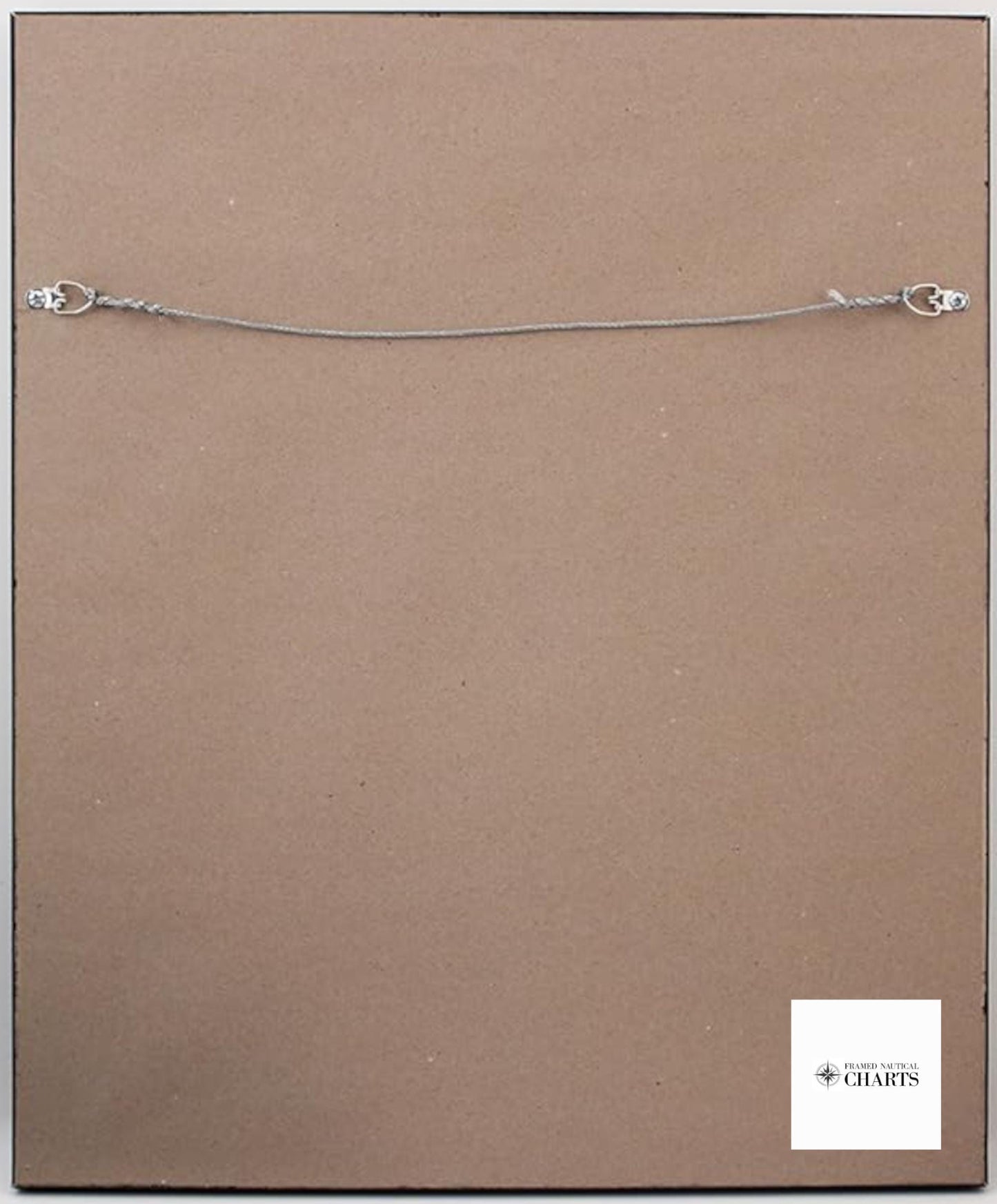
Each chart is custom handmade in the USA, exemplifying high standards of craftsmanship. The artwork is presented in a solid wood frame, featuring a museum-quality print made from archival paper and inks for long-lasting durability. The piece is enhanced with a black mat and protected by a glass front, ensuring that its beauty is preserved for years to come. The back is finished with a paper duster for a polished look, and it includes a wire hanger for easy installation.
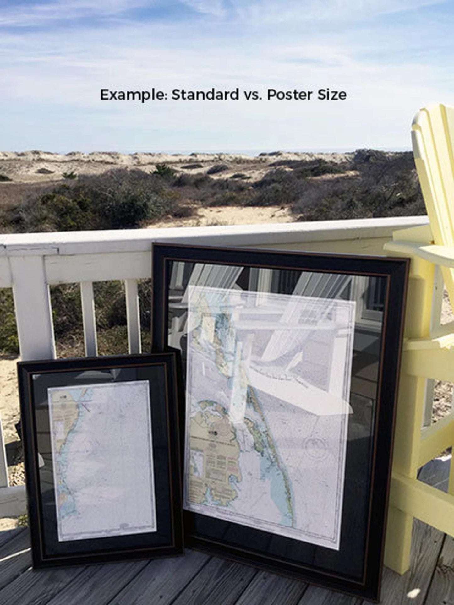
Available in two sizes to suit your space:
- Standard size: Approx. 24" W x 17 1/4" H
- Poster size: Approx. 36" W x 26" H
If you have a specific frame option in mind, please contact us with your request; we’re happy to accommodate your vision.
*Important Shipping Note: Free ground shipping is available only for destinations within the 48 contiguous states. While we do not impose additional shipping costs, please reach out for custom shipping quotes as rates to Alaska and Hawaii are typically higher.
Share