Framed Nautical Charts
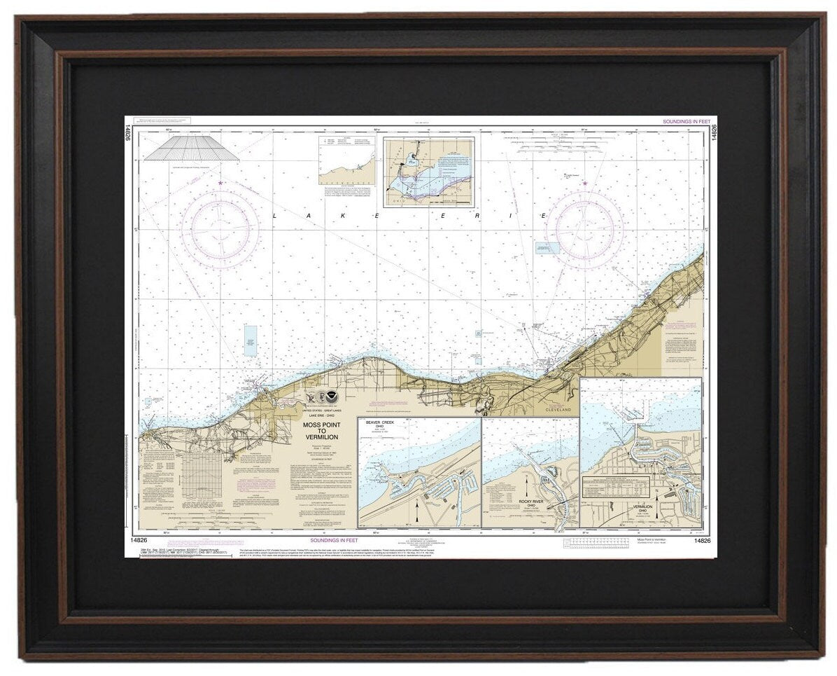
Framed Nautical Chart 14826 - Lake Erie. Moss Point to Vermilion. NOAA 14826. Handmade in the USA.
Framed Nautical Chart 14826 - Lake Erie. Moss Point to Vermilion. NOAA 14826. Handmade in the USA.
Couldn't load pickup availability
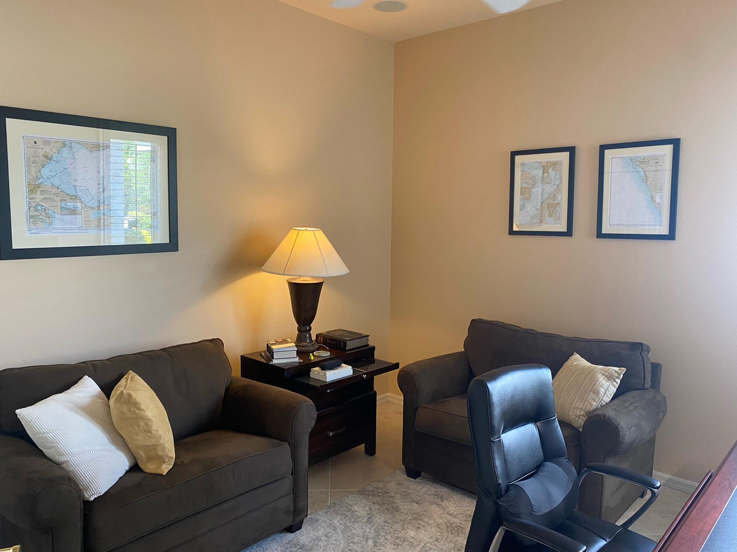
Discover the beauty of Lake Erie with our meticulously crafted Framed Nautical Chart, featuring the stunning waters from Moss Point to Vermilion, including Beaver Creek, Vermilion Harbor, and Rocky River. As an official NOAA Nautical Chart, this piece captures the intricate details of these picturesque waterways.
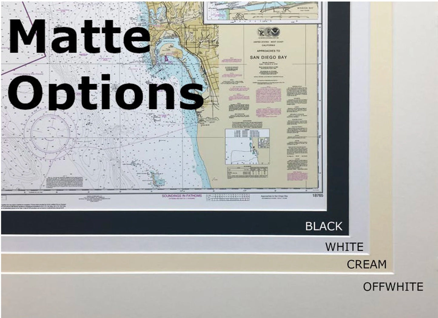
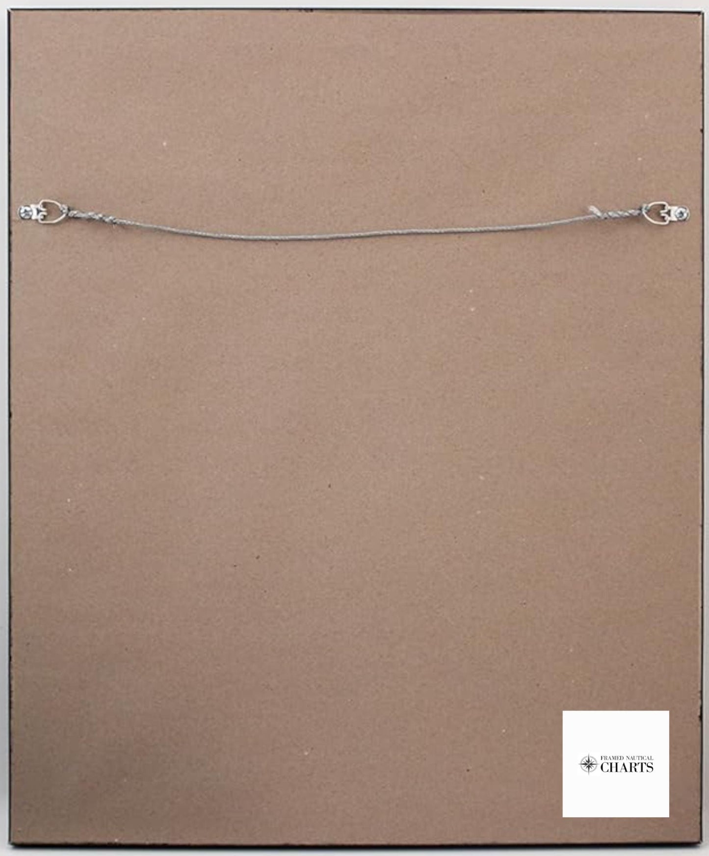
Each chart is handmade in the USA, showcasing exceptional craftsmanship and attention to detail. It is elegantly presented in a solid wood frame and features a museum-quality print produced on archival paper with fade-resistant inks for enduring beauty. The chart is complemented by a sophisticated black mat and protected by a durable glass front. For added quality, the back is finished with a paper duster, and a wire hanger is included for effortless mounting.
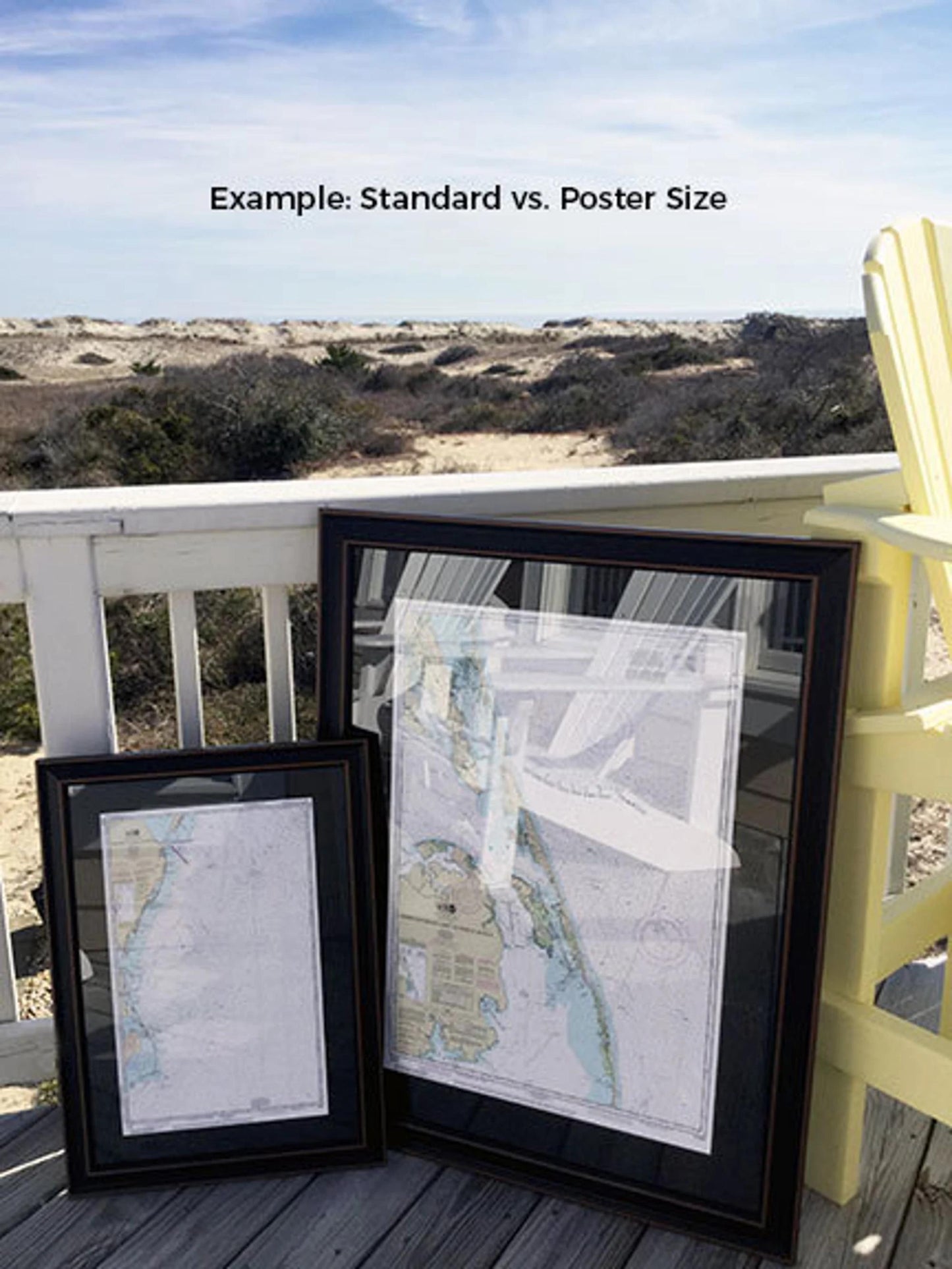
We offer our Framed Nautical Chart in two convenient sizes to fit your space:
- Standard Size: Approximately 24" W x 17 3/4" H
- Poster Size: Approximately 36" W x 26 3/4" H
If you have a specific framing style in mind, feel free to reach out to us with your ideas or sample photos to help us create the perfect piece tailored to your vision.
*Important Shipping Note: We provide free ground shipping for orders within the 48 contiguous states. While we strive to keep shipping costs fair, please contact us for a custom shipping quote for orders to Alaska and Hawaii due to increased shipping expenses. Your satisfaction is our priority, and we look forward to helping you bring a piece of Lake Erie into your home.
Share