Framed Nautical Charts
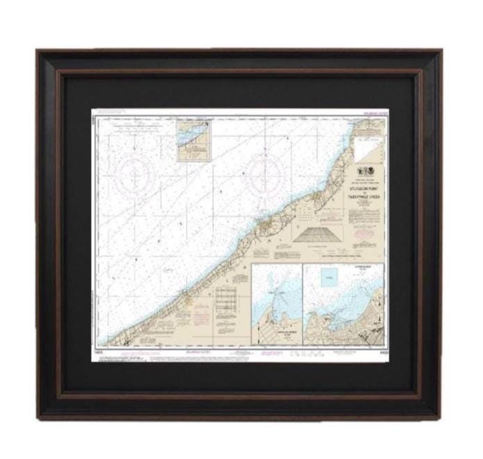
Framed Nautical Chart 14823 - Lake Erie, Sturgeon Point to Twentymile Creek. NOAA 14823. Handmade in the USA.
Framed Nautical Chart 14823 - Lake Erie, Sturgeon Point to Twentymile Creek. NOAA 14823. Handmade in the USA.
Couldn't load pickup availability
Discover the stunning beauty of Lake Erie with our Framed Nautical Chart, expertly showcasing the region from Sturgeon Point to Twentymile Creek, including Dunkirk Harbor and Barcelona Harbor. This official NOAA Nautical Chart offers intricate details of these picturesque waters, making it a perfect addition to your home or office decor.
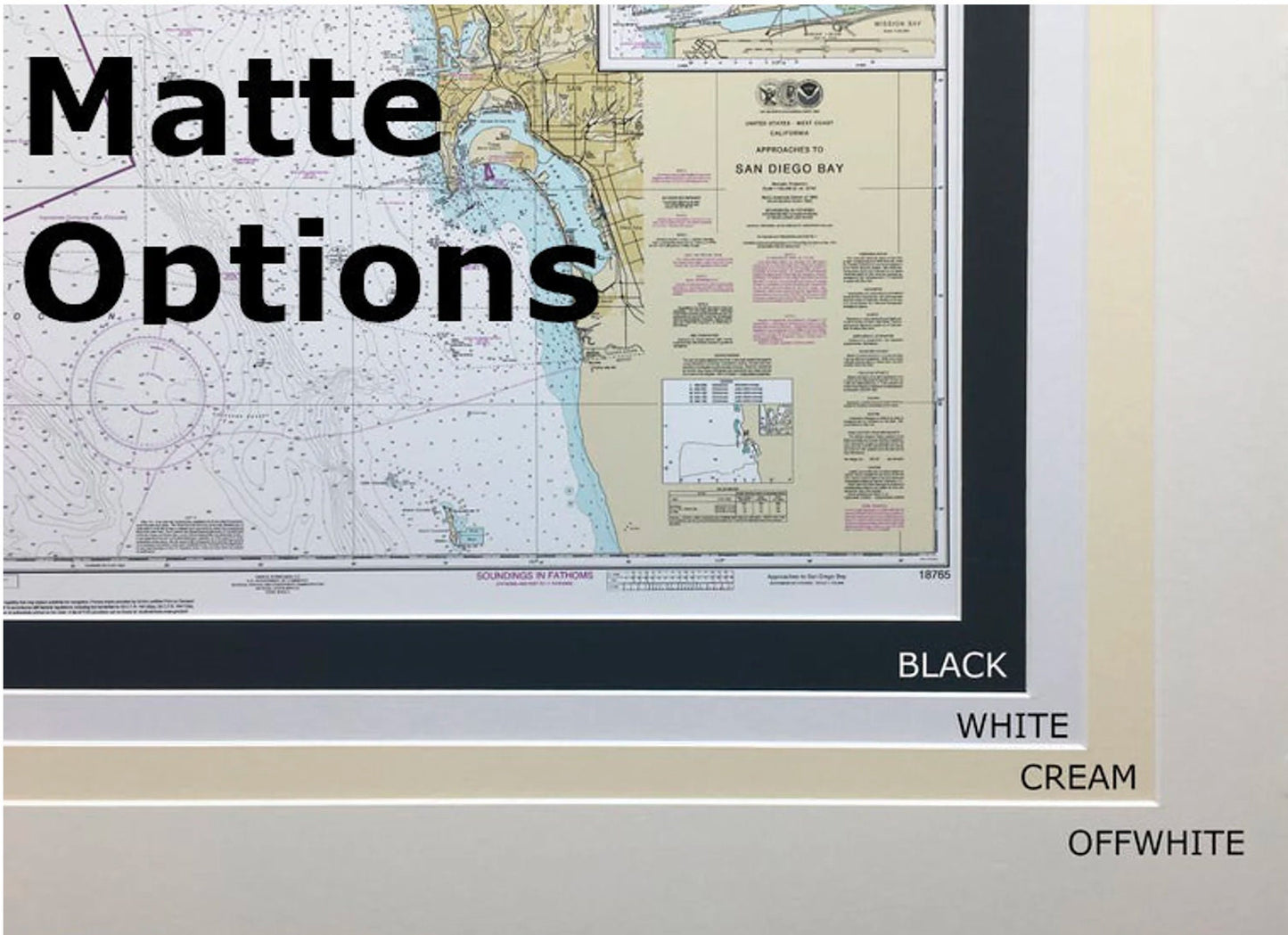
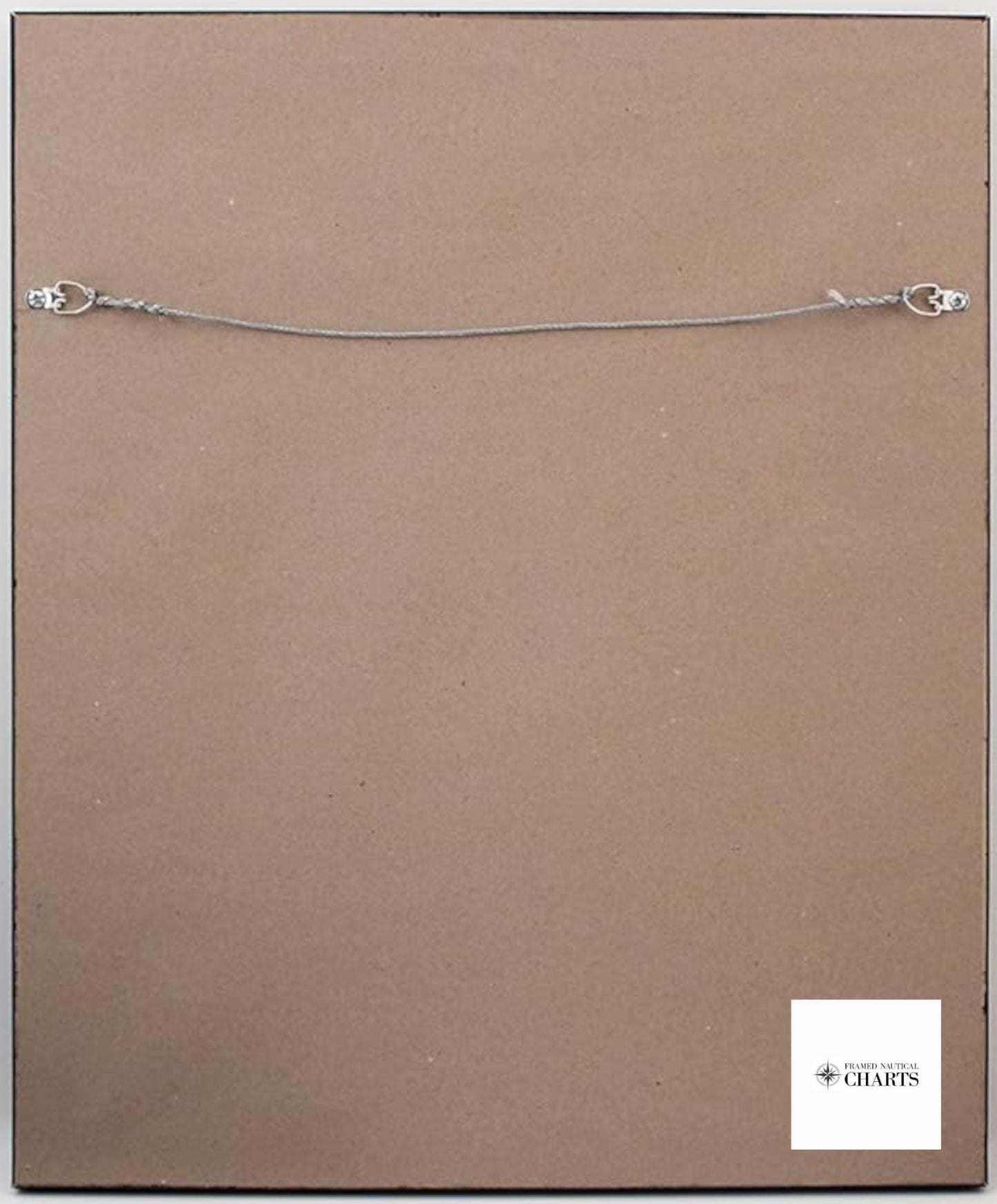
Handcrafted in the USA, each chart reflects our commitment to exceptional craftsmanship. The nautical map is presented in a solid wood frame, featuring a museum-quality print made from archival paper and inks to ensure durability and vibrant colors. It includes a stylish black mat and is protected by a glass front, enhancing its visual appeal while safeguarding it from dust and damage. The back is finished with a paper duster for a polished look, and a wire hanger is provided for easy installation.
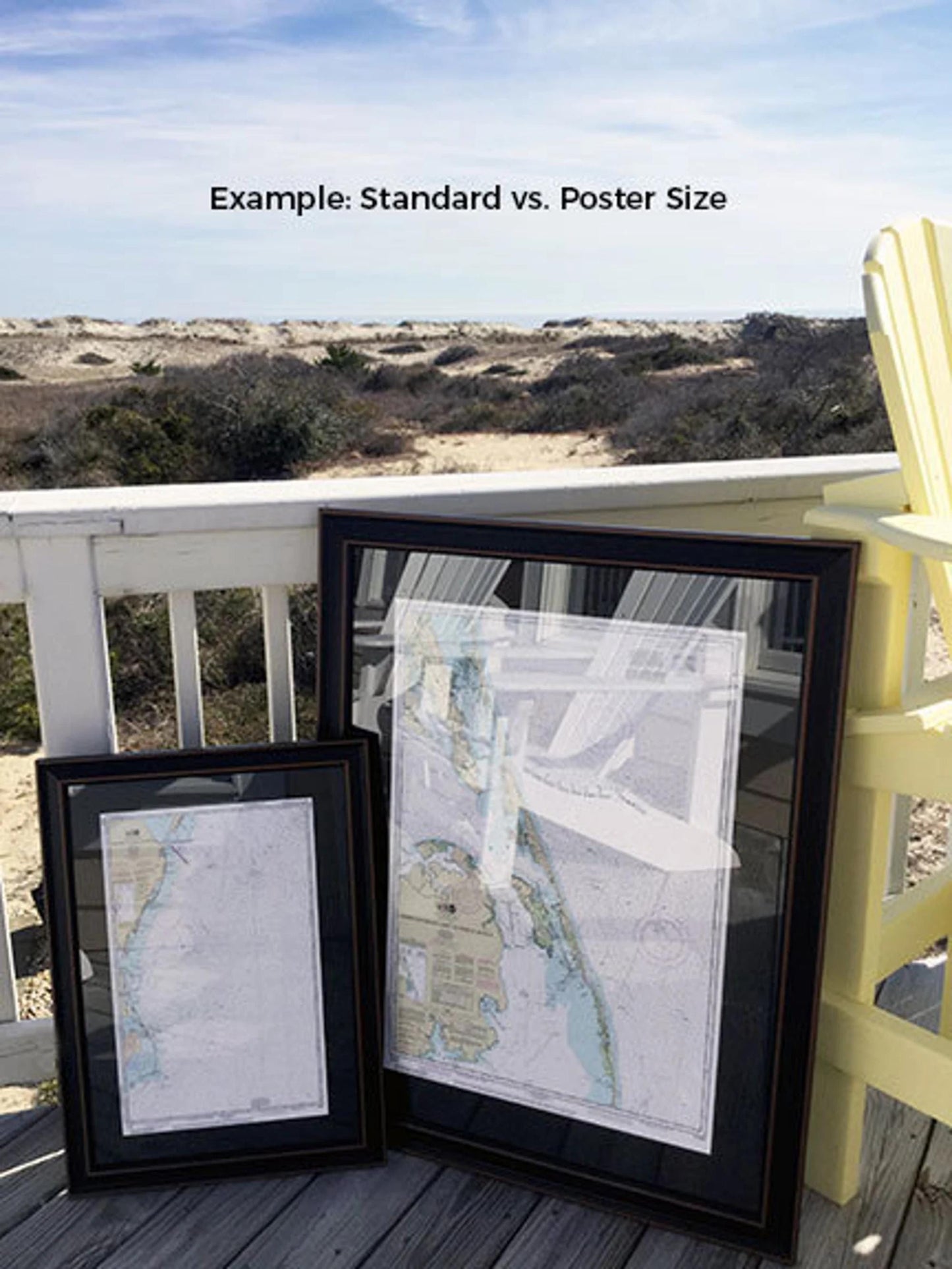
Available in two sizes to fit your space:
- Standard size: Approx. 24" W x 17 3/4" H
- Poster size: Approx. 36" W x 26 3/4" H
If you are interested in a different frame option, please don’t hesitate to reach out with your preferences. We welcome any sample photos to help us create a piece that perfectly matches your vision.
*Important Shipping Note: Free ground shipping is available exclusively for deliveries within the 48 contiguous states. We do not inflate shipping costs; however, due to the high shipping expenses to Alaska and Hawaii, please contact us for customized shipping quotes.
Share