Framed Nautical Charts
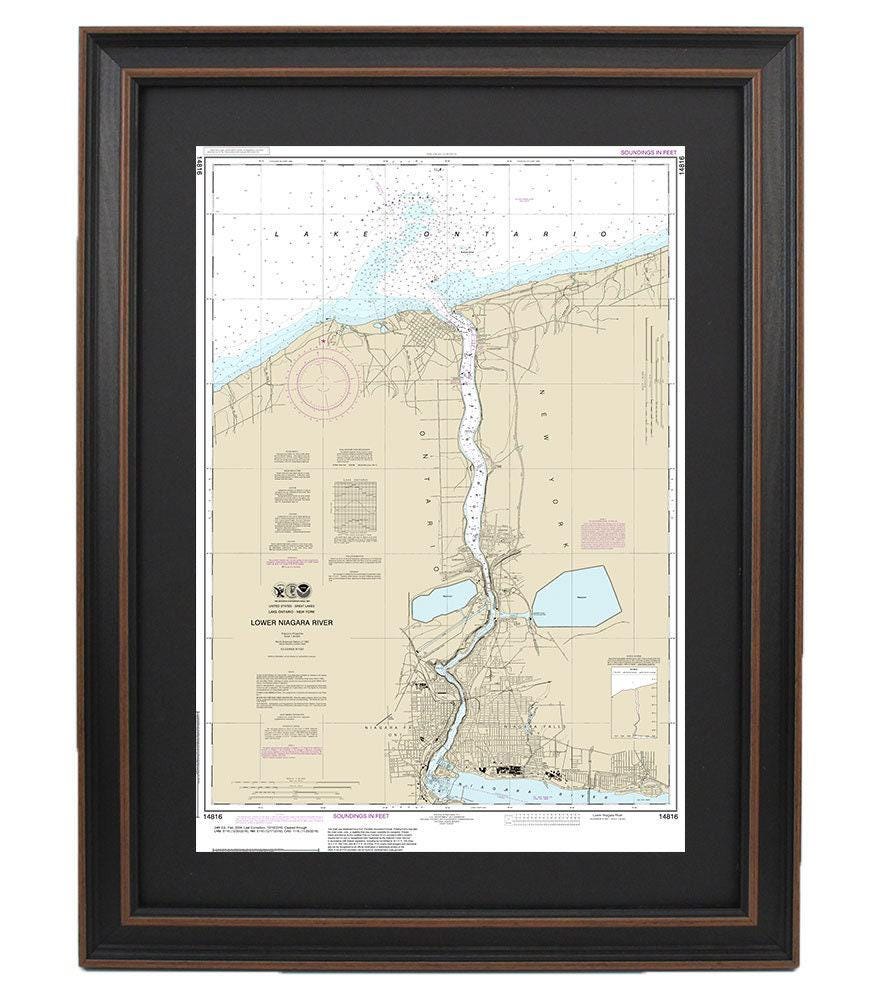
Framed Nautical Chart 14816- Lake Ontario, Lower Niagara River. NOAA 14816. Handmade in the USA.
Framed Nautical Chart 14816- Lake Ontario, Lower Niagara River. NOAA 14816. Handmade in the USA.
Couldn't load pickup availability
This beautifully framed nautical map showcases the stunning waters of Lake Ontario and the Lower Niagara River. As an official NOAA nautical chart, it intricately details these picturesque regions, making it a perfect addition for boating enthusiasts and lovers of maritime beauty. Each chart is expertly handmade in the USA, reflecting the highest standards of craftsmanship.
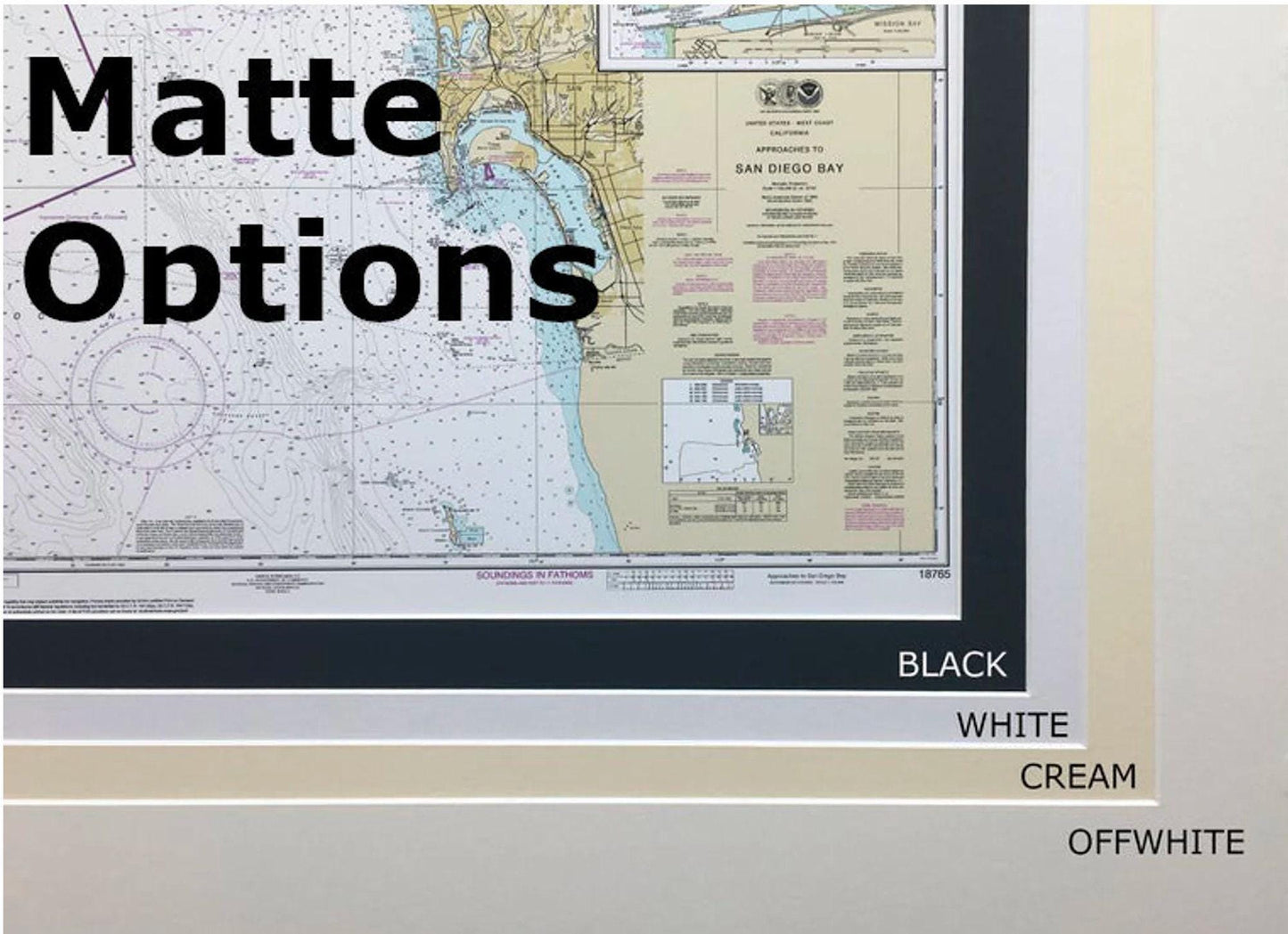
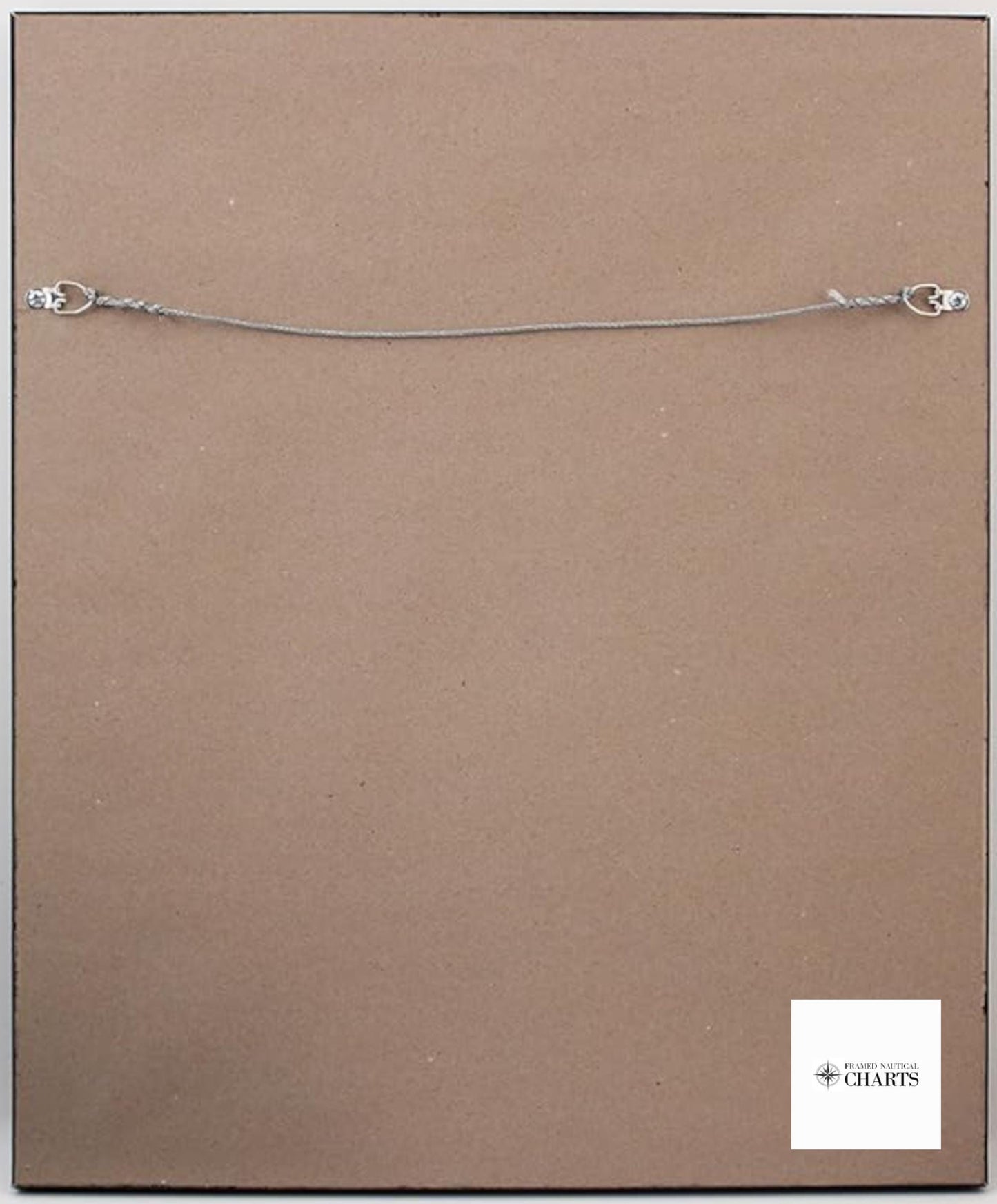
The chart is elegantly presented in a solid wood frame, featuring a museum-quality print produced on archival paper and inks for lasting durability. The design includes a sophisticated black mat, and the chart is protected by a glass front that enhances its visual appeal. The back is neatly finished with a paper duster, and a wire hanger is provided for easy installation.
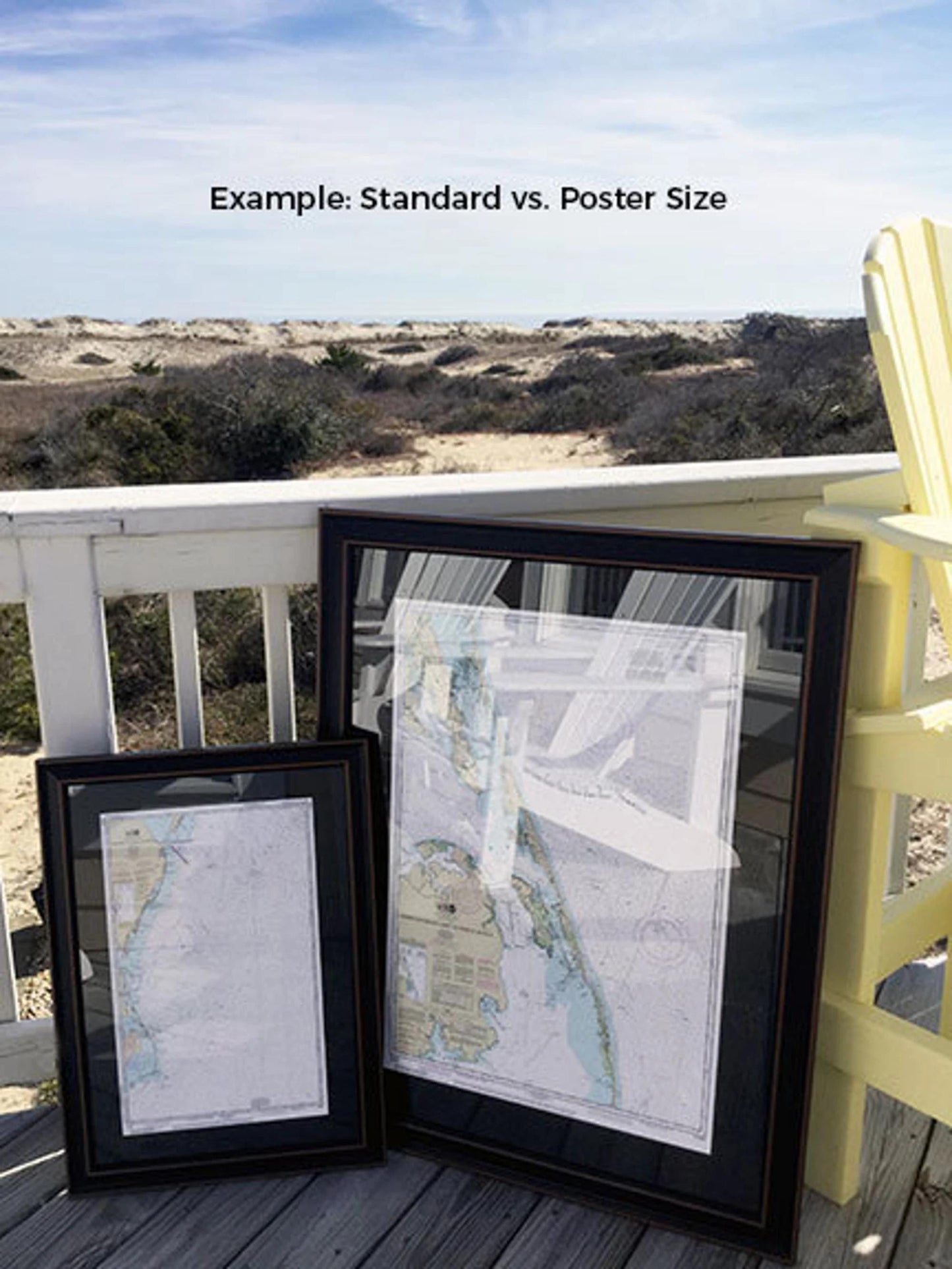
Available in two sizes to fit your space perfectly:
- Standard size: Outer frame dimensions approximately 16 1/2" W x 24" H
- Poster size: Outer frame dimensions approximately 24 3/4" W x 36" H
If you are interested in a different framing option, please feel free to reach out with your request. We welcome any sample photos you have to help us create the ideal piece that matches your vision.
*Important Shipping Note: Enjoy free ground shipping on orders shipped to the 48 contiguous states. While we do not markup shipping costs, please contact us for custom shipping quotes due to higher rates for Alaska and Hawaii.
Share