Framed Nautical Charts
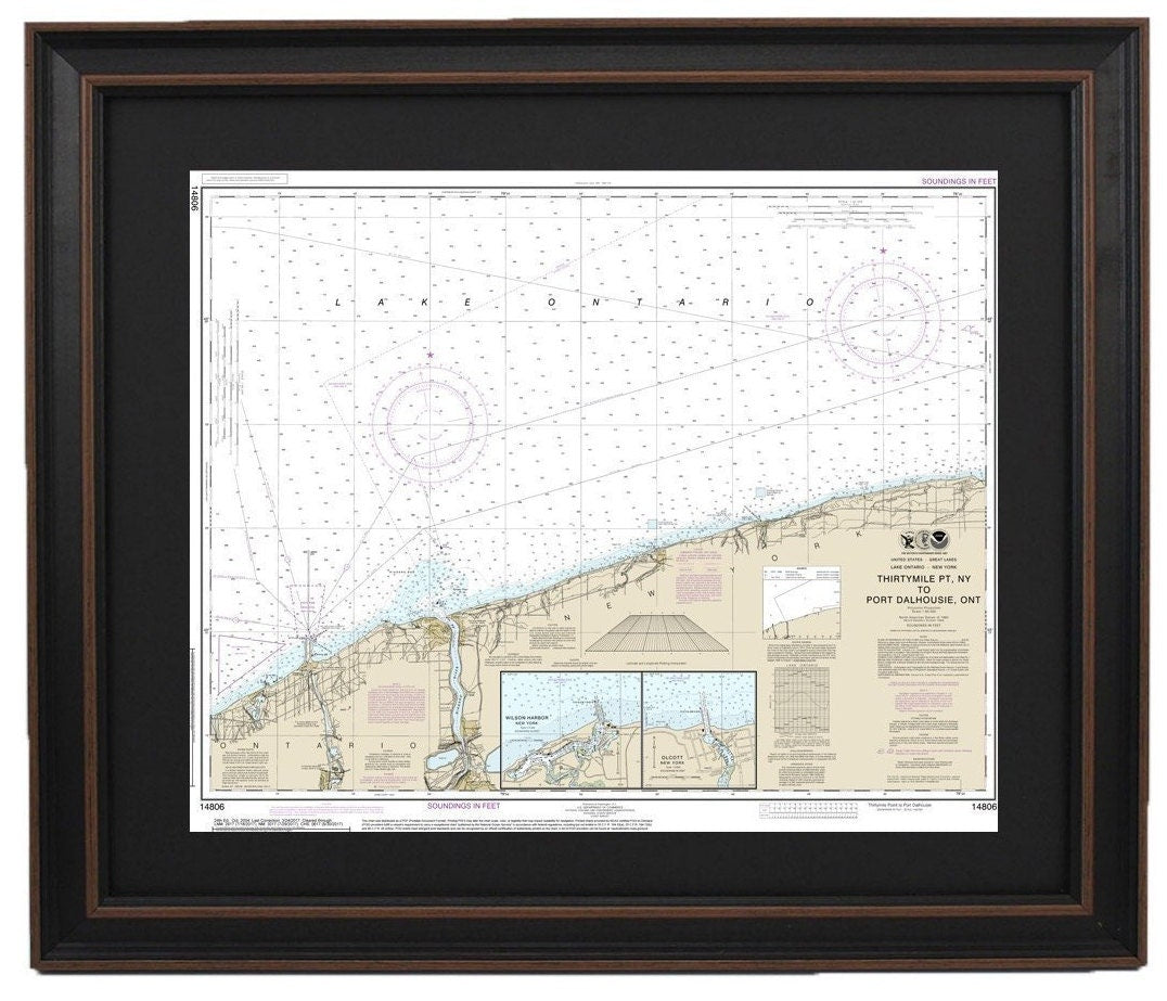
Framed Nautical Chart 14806 - Lake Ontario - ThirtyMile PT, NY to Port Dalhouse, Ontario. NOAA 14806.
Framed Nautical Chart 14806 - Lake Ontario - ThirtyMile PT, NY to Port Dalhouse, Ontario. NOAA 14806.
Couldn't load pickup availability
Discover the beauty of Lake Ontario with our meticulously crafted Framed Nautical Chart, capturing the stunning waters from Thirty Mile Point, NY to Port Dalhousie, Ontario. This official NOAA Nautical Chart, numbered 14806, provides an intricate and detailed representation of this remarkable region, perfect for nautical enthusiasts and art lovers alike.
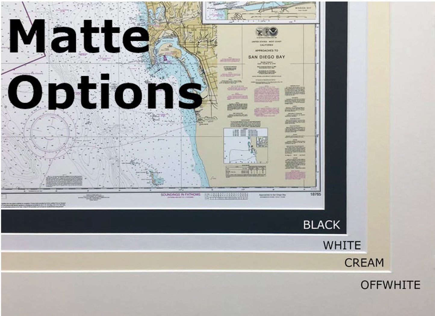
Each chart is custom handmade in the USA, reflecting our commitment to high standards of craftsmanship. The design features a solid wood frame that enhances the nautical theme, coupled with a museum-quality print made from archival paper and inks. A sophisticated black mat outlines the chart, while the glass front protects it from dust and damage. The back is elegantly finished with a paper duster, and a wire hanger is included for easy installation.
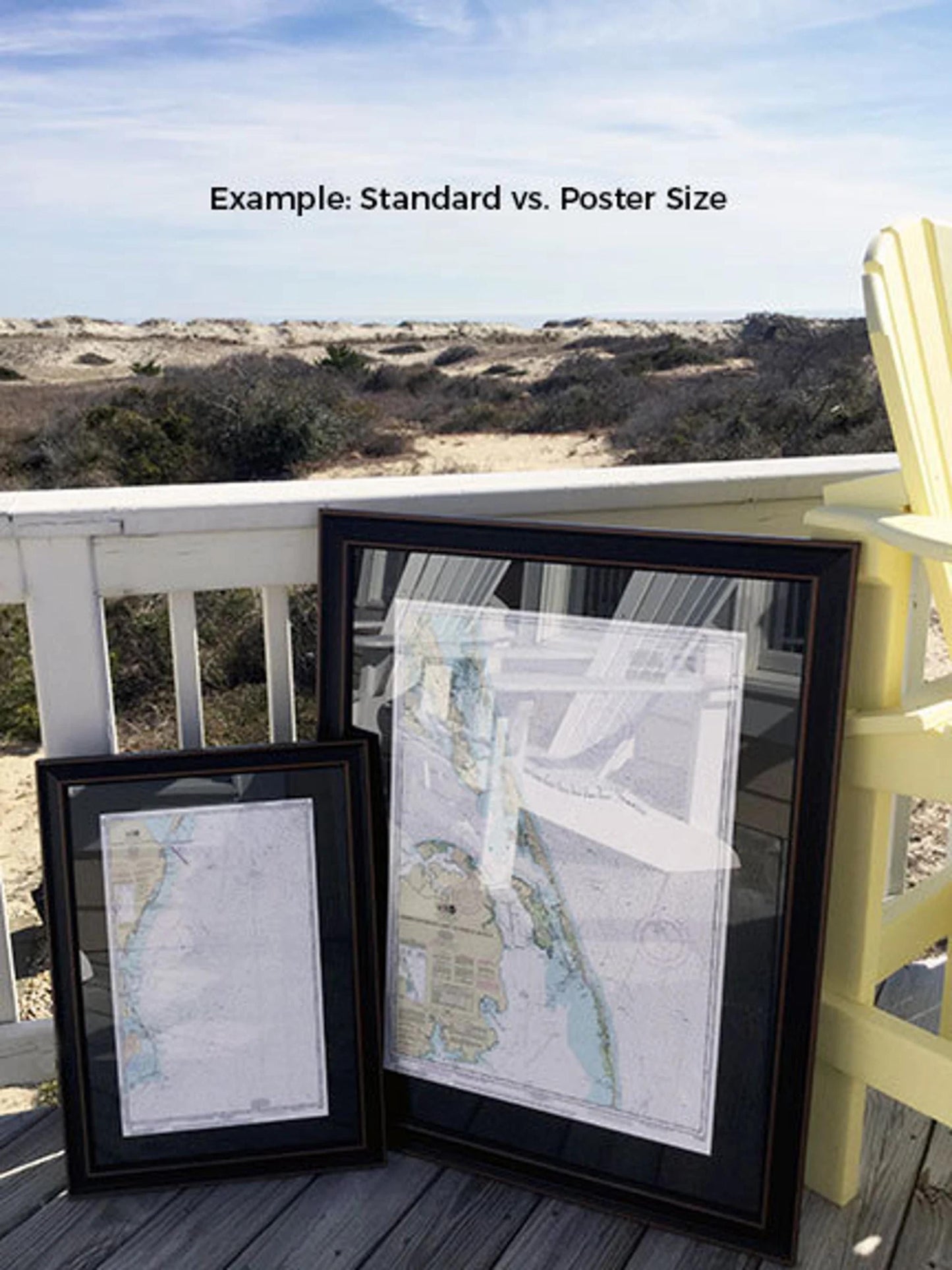
Choose from two convenient sizes to perfectly fit your space:
- Standard size with outer frame dimensions of approximately 24" W x 19.5" H.
- Poster size featuring outer frame dimensions of around 36" W x 29.5" H.
Enjoy free ground shipping to the 48 contiguous states.* If you require a different frame option, please reach out to us; we are happy to accommodate your requests and welcome any sample photos you may have to create your ideal piece.
*Important Shipping Note: Free ground shipping applies only to the contiguous United States. For shipments to Alaska and Hawaii, please contact us for custom shipping quotes, as we do not inflate shipping costs.
Share