


Framed Nautical Charts
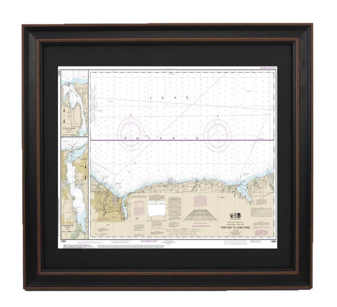
Framed Nautical Chart 14804 - Lake Ontario, Port Bay to Long Pond. NOAA 14804. Handmade in the USA.
Framed Nautical Chart 14804 - Lake Ontario, Port Bay to Long Pond. NOAA 14804. Handmade in the USA.
Couldn't load pickup availability
Discover the beauty of Lake Ontario with our exquisite Framed Nautical Chart, covering the pristine waters from Port Bay to Long Pond, including Port Bay Harbor and Irondequoit Bay. This official NOAA Nautical Chart is carefully handcrafted in the USA, showcasing exceptional craftsmanship and attention to detail.
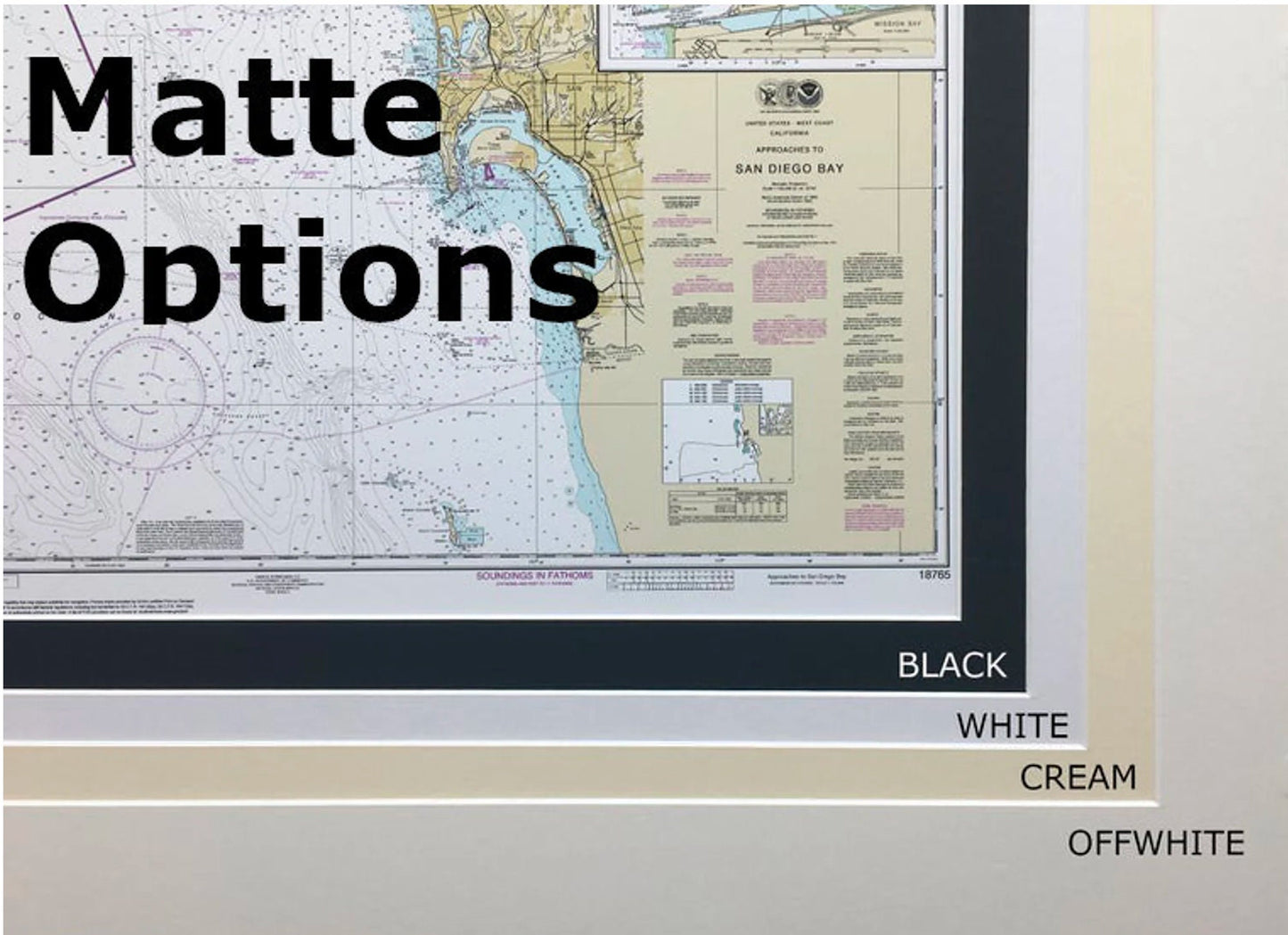
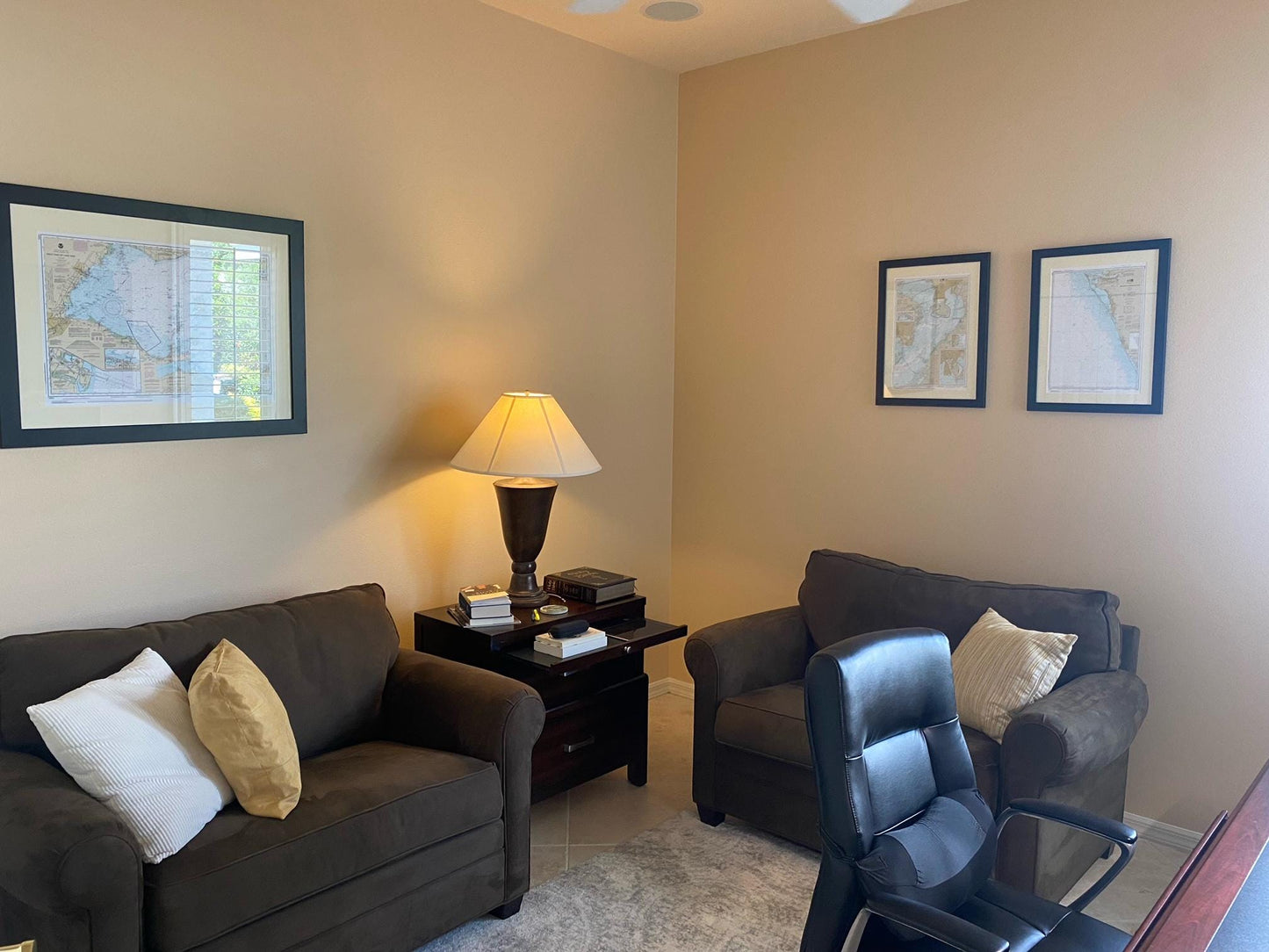
Each framed chart is presented in a solid wood frame, featuring a museum-quality print made from archival paper and inks that ensure longevity. The chart is elegantly complemented with a black mat and protected by a glass front, making it a stunning addition to any room. The back is finished with a paper duster for a polished look, and a wire hanger is included for easy installation.
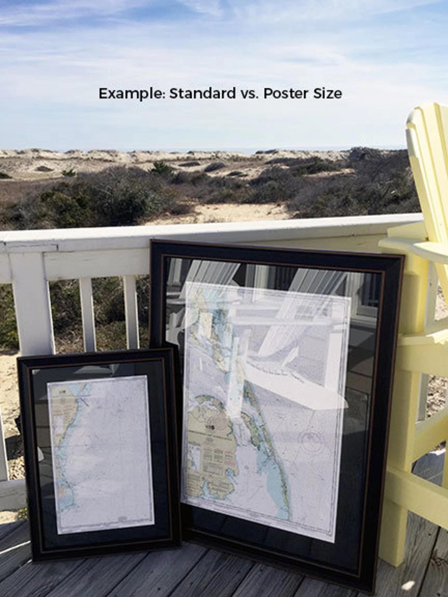
Available in two sizes to suit your space:
- Standard size: Outer frame dimensions are approximately 24" W x 16 1/2" H
- Poster size: Outer frame dimensions are approximately 36" W x 24 3/4" H
If you're seeking a custom frame option, please feel free to reach out with your request. We are open to incorporating any sample photos you may have, ensuring we create exactly what you envision.
*Important Shipping Note: Free ground shipping is available for shipments to the 48 contiguous states. Please keep in mind that we do not inflate shipping costs; however, due to higher shipping fees to Alaska and Hawaii, we encourage you to contact us for a personalized shipping quote.
Share