Framed Nautical Charts
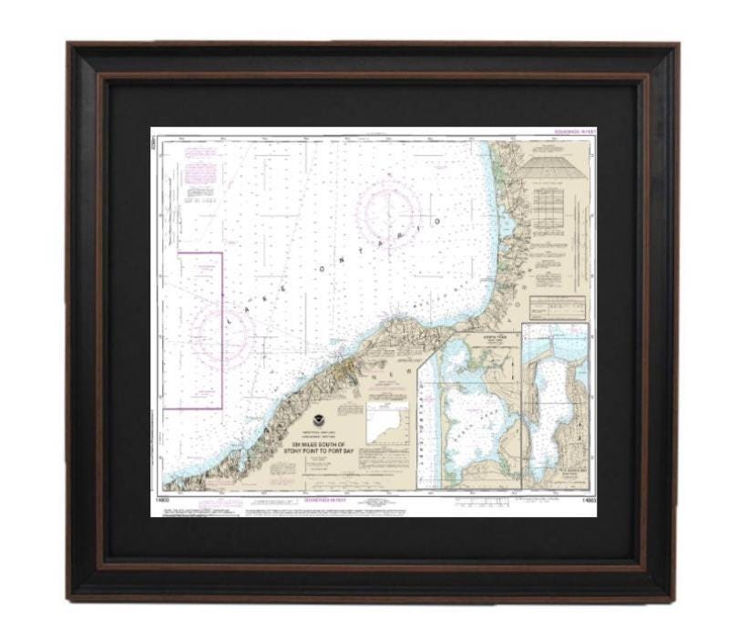
Framed Nautical Chart 14803 - Lake Ontario, Six Miles South of Stony to Port Bay. NOAA 14803. Handmade in the USA.
Framed Nautical Chart 14803 - Lake Ontario, Six Miles South of Stony to Port Bay. NOAA 14803. Handmade in the USA.
Couldn't load pickup availability
Discover the beauty of Lake Ontario with this exquisite Framed Nautical Chart, showcasing the waters spanning from six miles south of Stony Point to Port Bay, including Southwick Beach, North Pond, and Little Sodus. This chart is an official NOAA Nautical Chart, meticulously handcrafted in the USA, ensuring a high standard of craftsmanship.
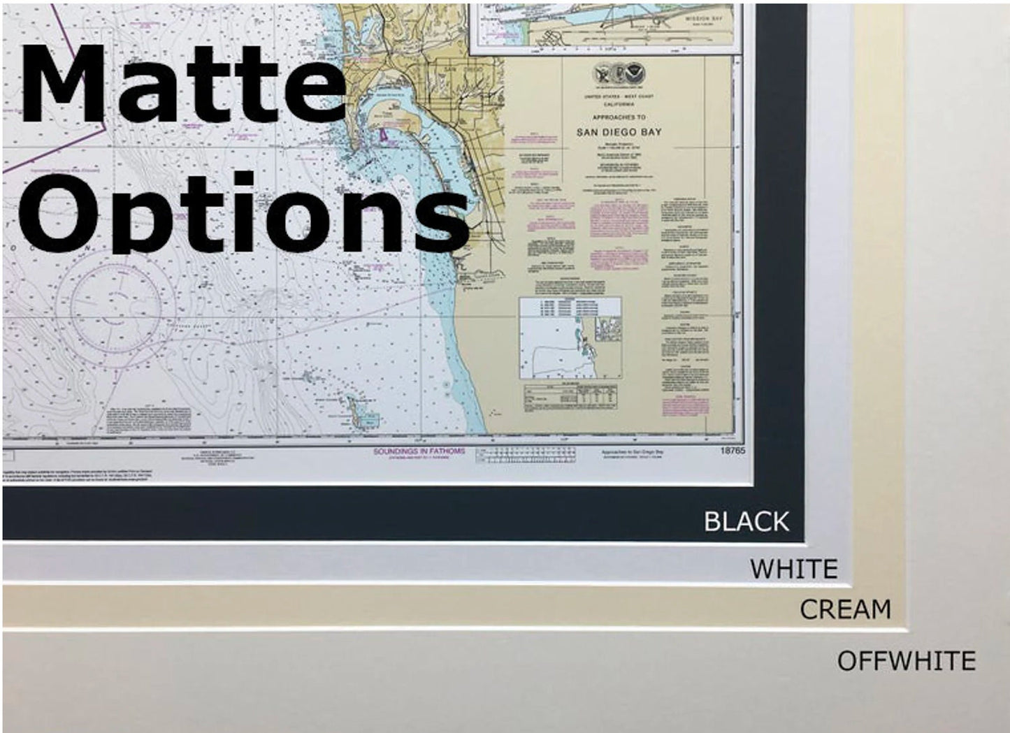
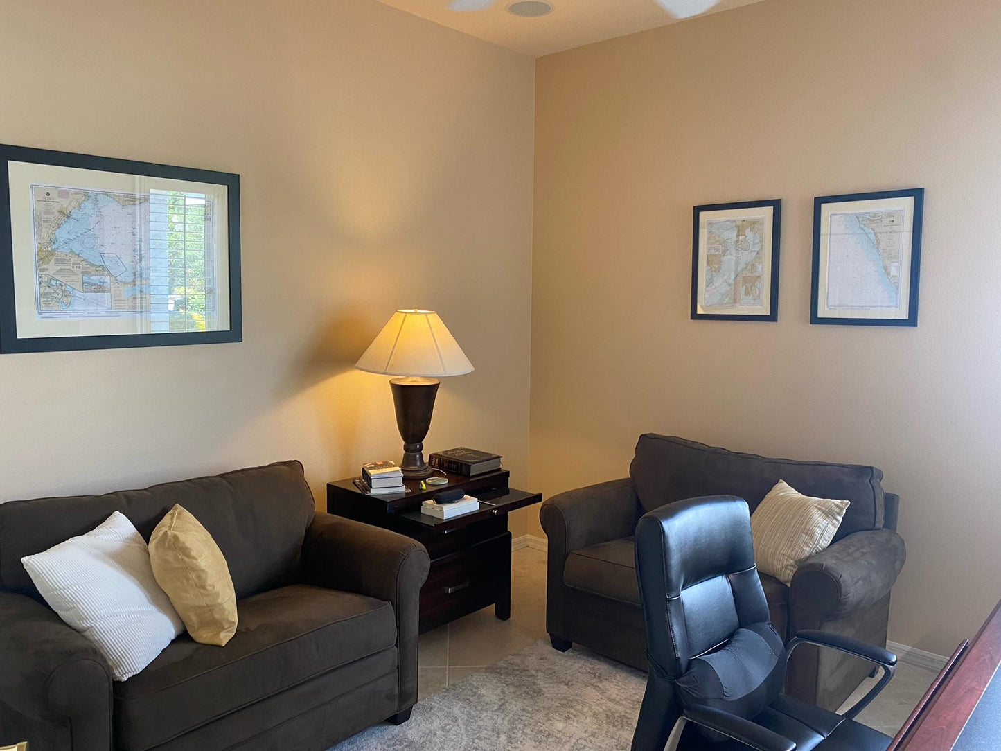
The design features a solid wood frame that elegantly complements the museum-quality print, made on archival paper with durable inks for lasting vibrancy. Protected by a glass front, this piece is further enhanced by a sophisticated black mat, offering an aesthetic appeal suitable for any setting. The back is finished with a paper duster, and a wire hanger is included for effortless hanging.
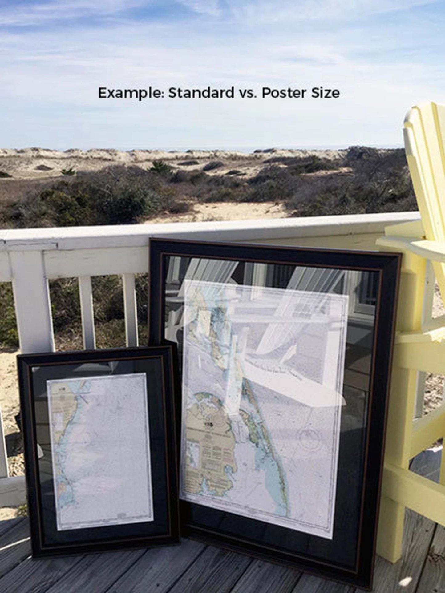
Choose from two frame sizes to best fit your space:
- Standard size: Outer frame dimensions approximately 19 3/4" W x 24" H
- Poster size: Outer frame dimensions approximately 29 1/2" W x 36" H
If you're interested in a different framing option, feel free to reach out with your preferences or any sample photos, and we’ll work to create exactly what you envision.
*Important Shipping Note: Free ground shipping is available only for deliveries to the 48 contiguous states. We do not inflate shipping costs, but due to the increased fees for shipping to Alaska and Hawaii, please contact us for a customized shipping quote. Experience the charm of this nautical chart and bring a piece of Lake Ontario into your home!
Share