Framed Nautical Charts
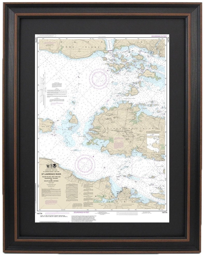
Framed Nautical Chart 14774 - Round Island, NY and Gananoque, Ontario to Wolfe Island, Ontario. NOAA 14774. Handmade in the USA.
Framed Nautical Chart 14774 - Round Island, NY and Gananoque, Ontario to Wolfe Island, Ontario. NOAA 14774. Handmade in the USA.
Couldn't load pickup availability
Discover the beauty of the waters surrounding Round Island, NY, and Gananoque, Ontario to Wolfe Island, Ontario with this exquisite framed nautical map. This official NOAA Nautical Chart, numbered 14774, showcases stunning details of these picturesque waters. Each chart is meticulously handmade in the USA, reflecting an exceptional level of craftsmanship and quality.
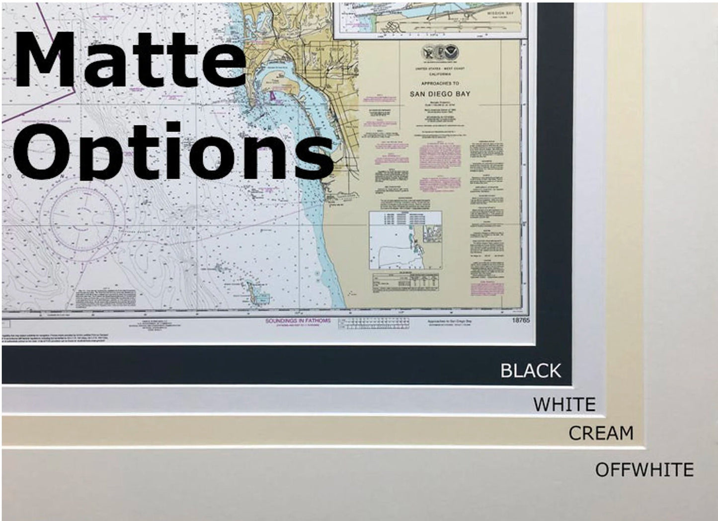
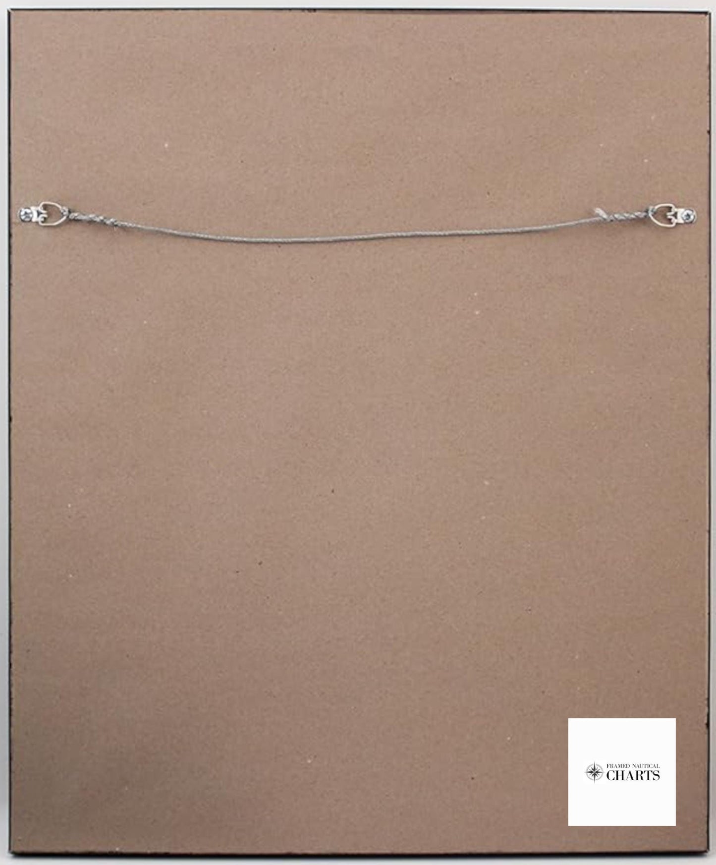
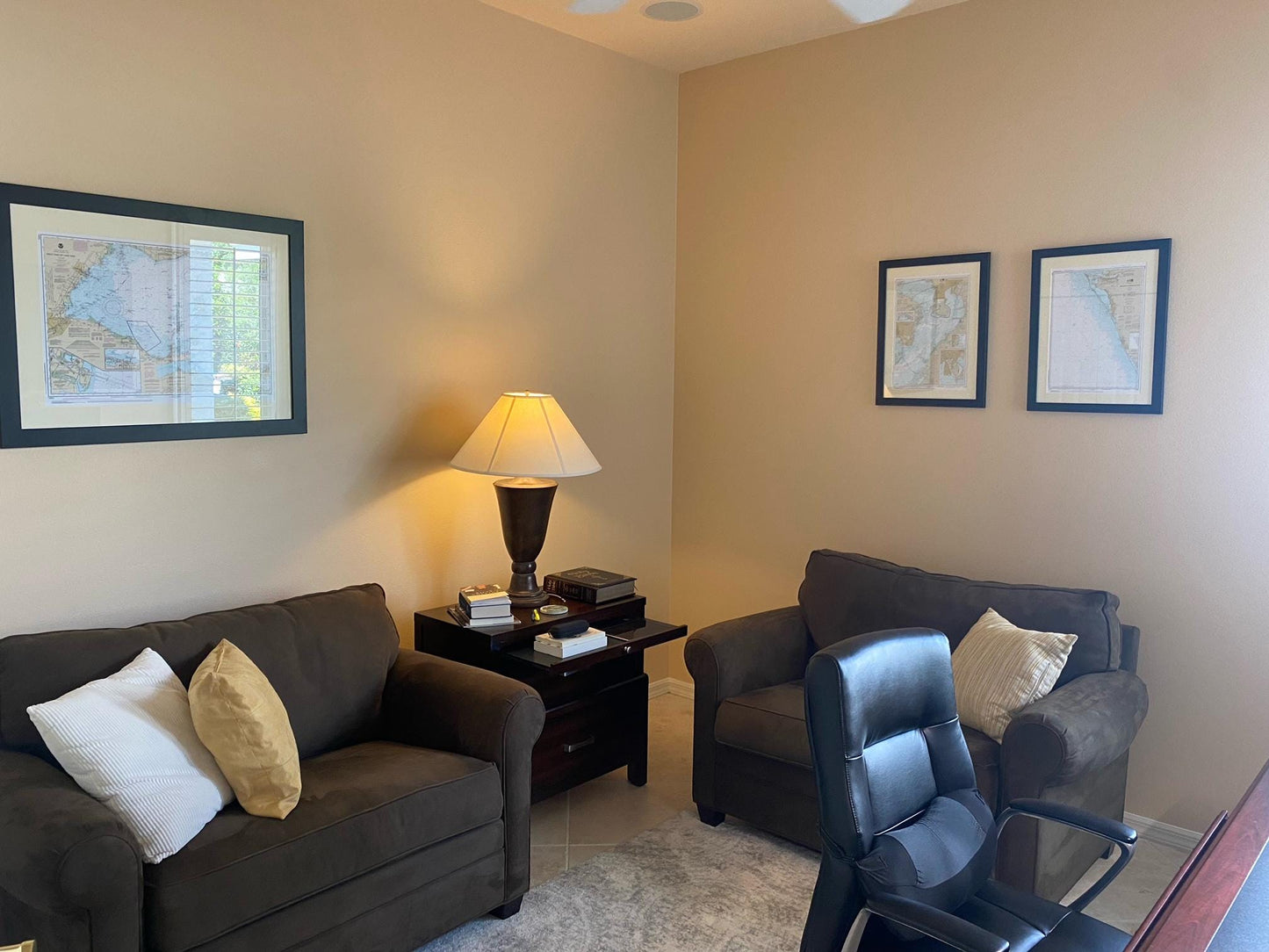
Presented in a solid wood frame, this nautical chart features a museum-quality print created from archival paper and inks, ensuring durability and vibrant colors. The design is complemented by a sleek black mat and safeguarded by a glass front, creating a sophisticated piece of art for your home or office. The back is elegantly finished with a paper duster, and a wire hanger is included for easy installation.
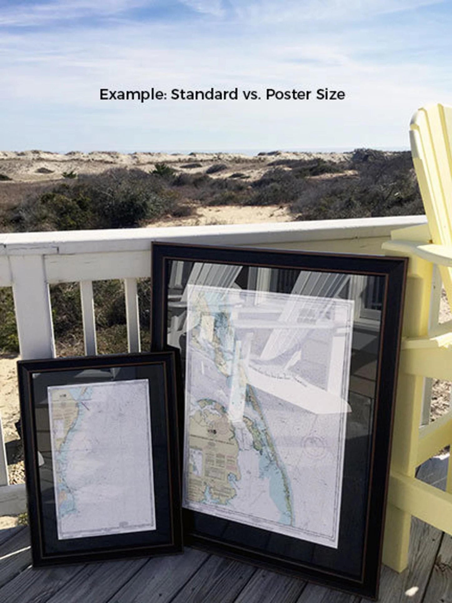
Available in two sizes to suit your space:
- Standard size: Outer frame dimensions are approximately 17" W x 24" H.
- Poster size: Outer frame dimensions are approximately 25 ¾" W x 36" H.
If you're interested in a different frame option, feel free to reach out to us with your request. We are happy to collaborate and create exactly what you envision, and we welcome any sample photos you may have.
*Important Shipping Note: Free ground shipping is available for deliveries within the 48 contiguous states. We do not inflate shipping costs; however, due to higher shipping rates to Alaska and Hawaii, please contact us for customized shipping quotes.
Share