Framed Nautical Charts
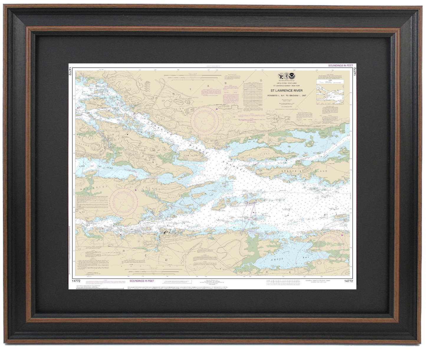
Framed Nautical Chart 14772 - St. Lawrence River, Ironsides l., N.Y to Bingham I. Ontario, NOAA 14772. Handmade in the USA.
Framed Nautical Chart 14772 - St. Lawrence River, Ironsides l., N.Y to Bingham I. Ontario, NOAA 14772. Handmade in the USA.
Couldn't load pickup availability
This beautifully framed nautical map showcases the stunning waters of the St. Lawrence River, spanning from Ironsides Island, N.Y., to Bingham Island, Ontario. Designed as the official NOAA Nautical Chart, it provides intricate details of this remarkable region, including landmarks such as Alexandria Bay, Goose Bay, Lake of the Isles, Wellesley Island, Hill Island, Club Island, and Grenadier Island, among others.
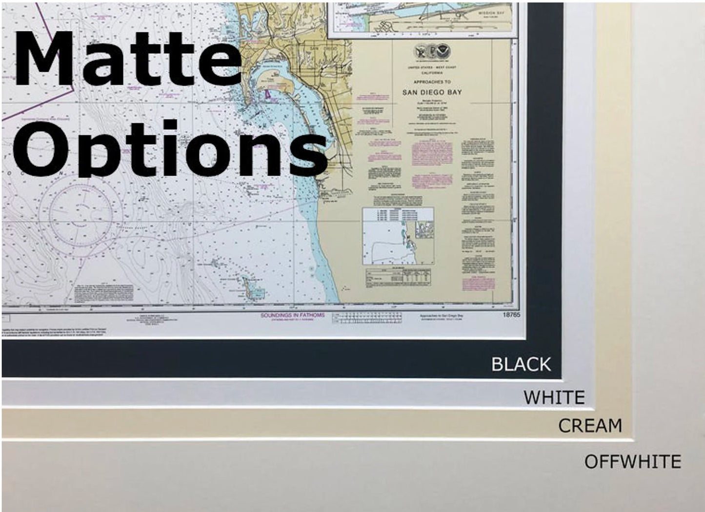
Each chart is custom handmade in the USA, exemplifying exceptional craftsmanship. It is elegantly presented in a solid wood frame, featuring a museum-quality print rendered on archival paper with professional-grade inks. The map is further enhanced by a black mat and protected by a glass front, ensuring durability and a polished look. The back of the frame is finished with a paper duster, and a wire hanger is included for effortless installation.
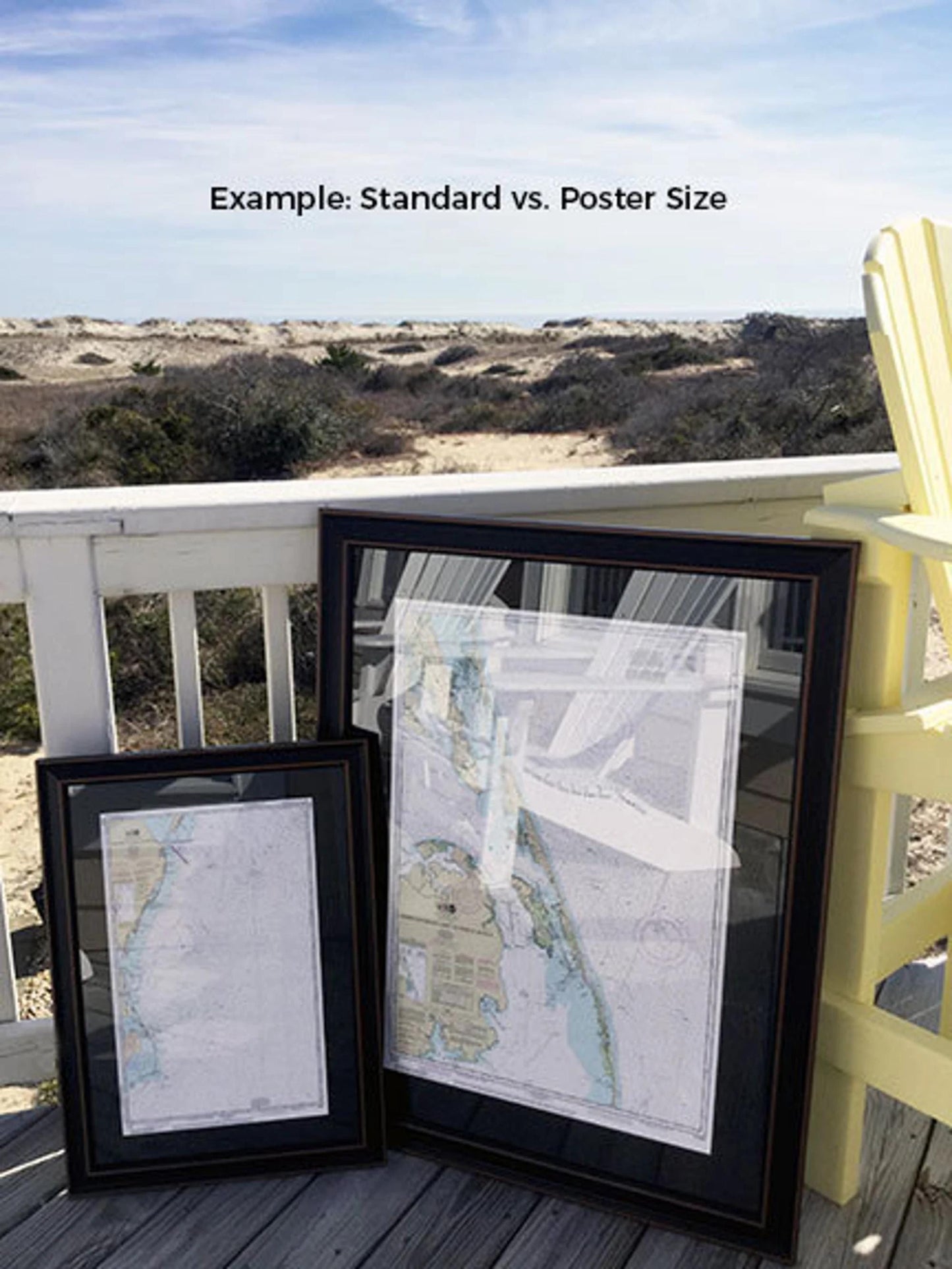
Our frames are available in two sizes:
- Standard: Outer frame dimensions approximately 24" W x 19 1/2" H
- Poster: Outer frame dimensions approximately 36" W x 29 1/2" H
If you have a specific frame option in mind, please don’t hesitate to reach out to us. We welcome any sample photos you may have to help us bring your vision to life.
*Important Shipping Note: Free ground shipping is available for shipments within the 48 contiguous states. We do not inflate shipping costs, but due to the high shipping fees to Alaska and Hawaii, please contact us for custom shipping quotes.
Share