Framed Nautical Charts
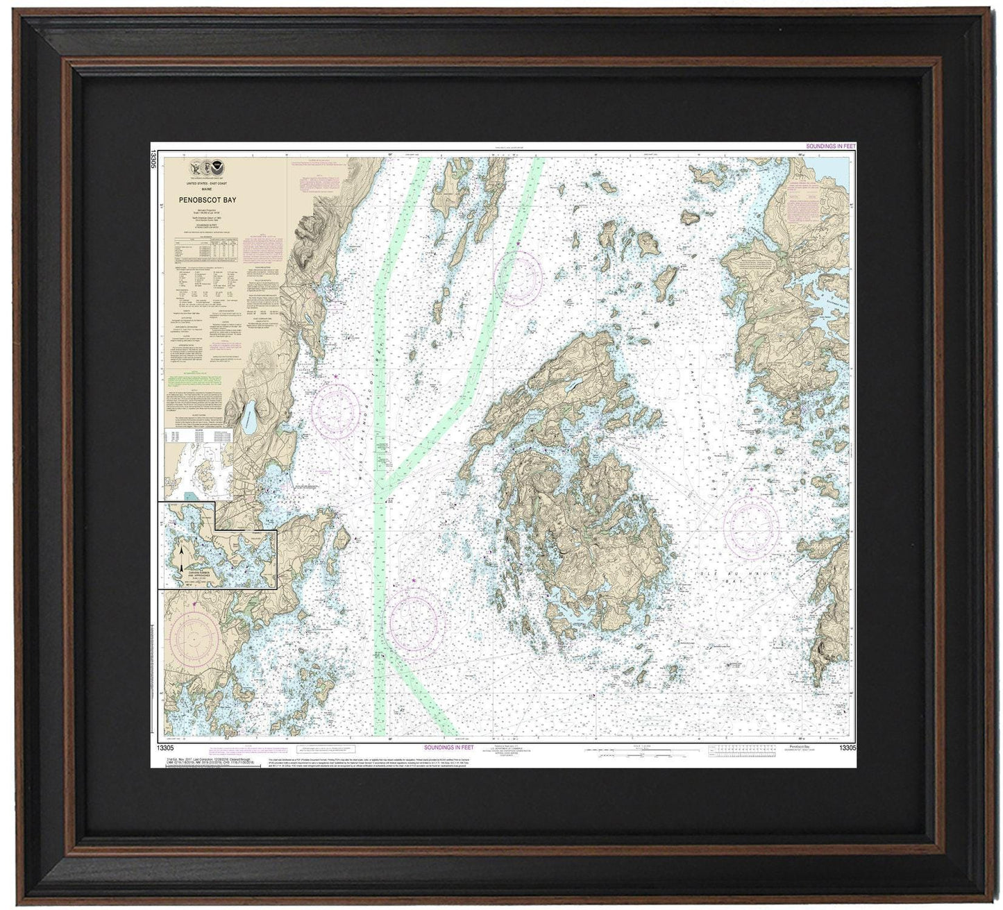
Framed Nautical Chart 13305 - Penobscot Bay, Maine. NOAA 13305. Handmade in the USA.
Framed Nautical Chart 13305 - Penobscot Bay, Maine. NOAA 13305. Handmade in the USA.
Couldn't load pickup availability
Discover the breathtaking beauty of Penobscot Bay, Maine, with our meticulously handcrafted Framed Nautical Chart 13305, officially produced by NOAA. This exquisite nautical map captures the serene waters and enchanting islands of the area, including Deer Isle and Vinalhaven, along with the charming towns of Rockport and Camden.
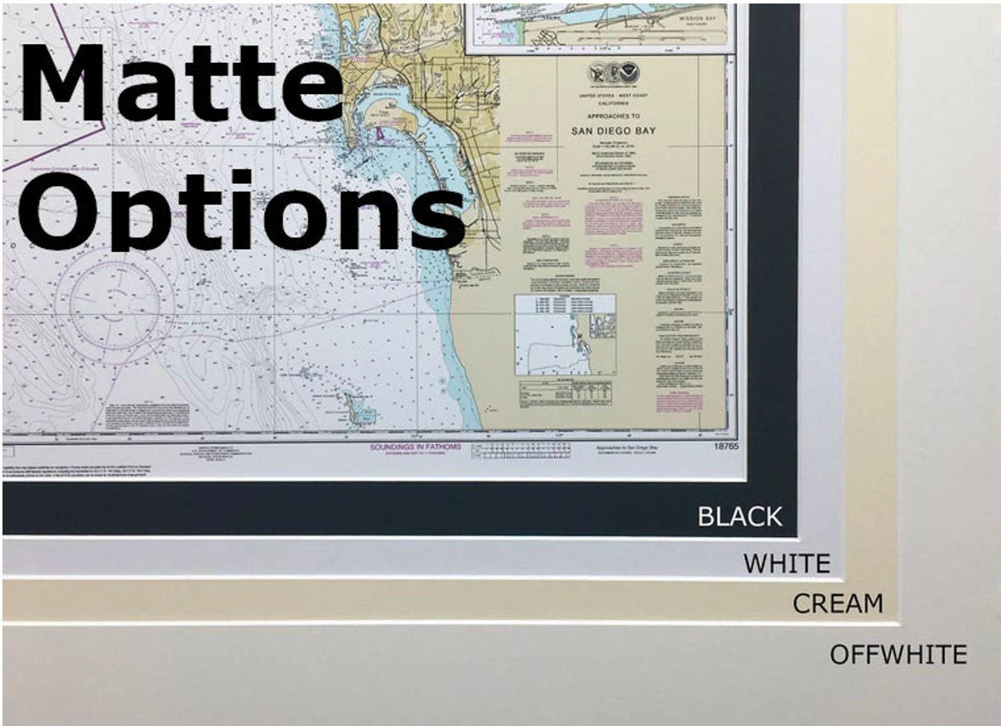
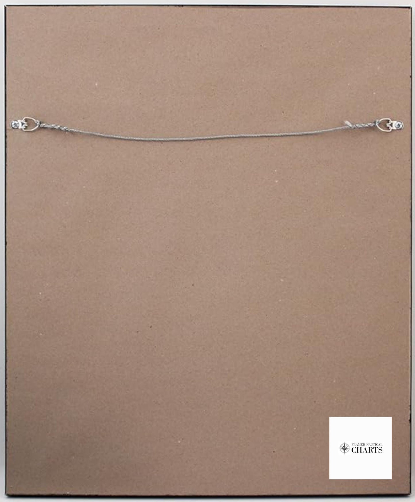
Each chart is custom-made in the USA, showcasing exceptional craftsmanship standards. It is elegantly presented in a sturdy solid wood frame and features a museum-quality print created from archival paper and inks, ensuring durability and vibrancy. The design is enhanced with a stylish black mat, and the chart is protected by a clear glass front for longevity. The back of the frame is finished with a paper duster, and a convenient wire hanger is included for easy installation.
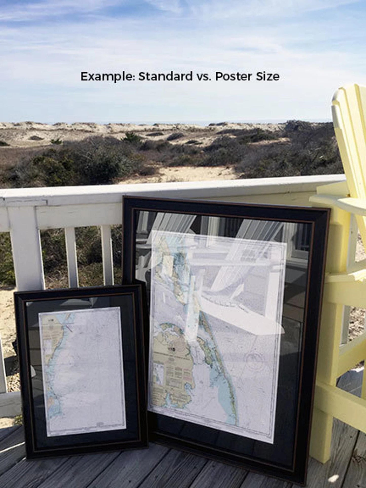
Choose from two frame sizes:
-standard size with outer dimensions of approximately 24" W x 18 ¾" H
-poster size at approximately 36" W x 28" H.
This framed chart is not only a stunning decor piece but also a meaningful gift for maritime enthusiasts and lovers of Maine’s coastline. We offer free ground shipping within the 48 contiguous states. For tailored frame options or custom shipping quotes to Alaska and Hawaii, please feel free to reach out with your requests. We are eager to bring your vision to life!
Share