Framed Nautical Charts
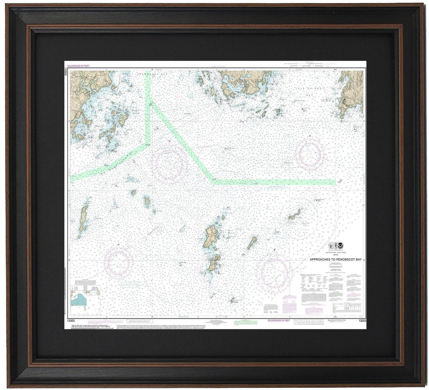
Framed Nautical Chart 13303 - Approaches to Penobscot Bay, Maine. NOAA 13303. Handmade in the USA.
Framed Nautical Chart 13303 - Approaches to Penobscot Bay, Maine. NOAA 13303. Handmade in the USA.
Couldn't load pickup availability
Discover the beauty of the Maine coast with this beautifully framed nautical chart, showcasing the Approaches to Penobscot Bay (NOAA 13303). This official NOAA Nautical Chart maps the stunning waters surrounding Mantinicus Island and parts of Vinalhaven Island, capturing the unique maritime landscape of the region.
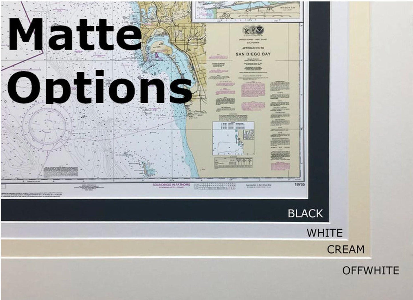
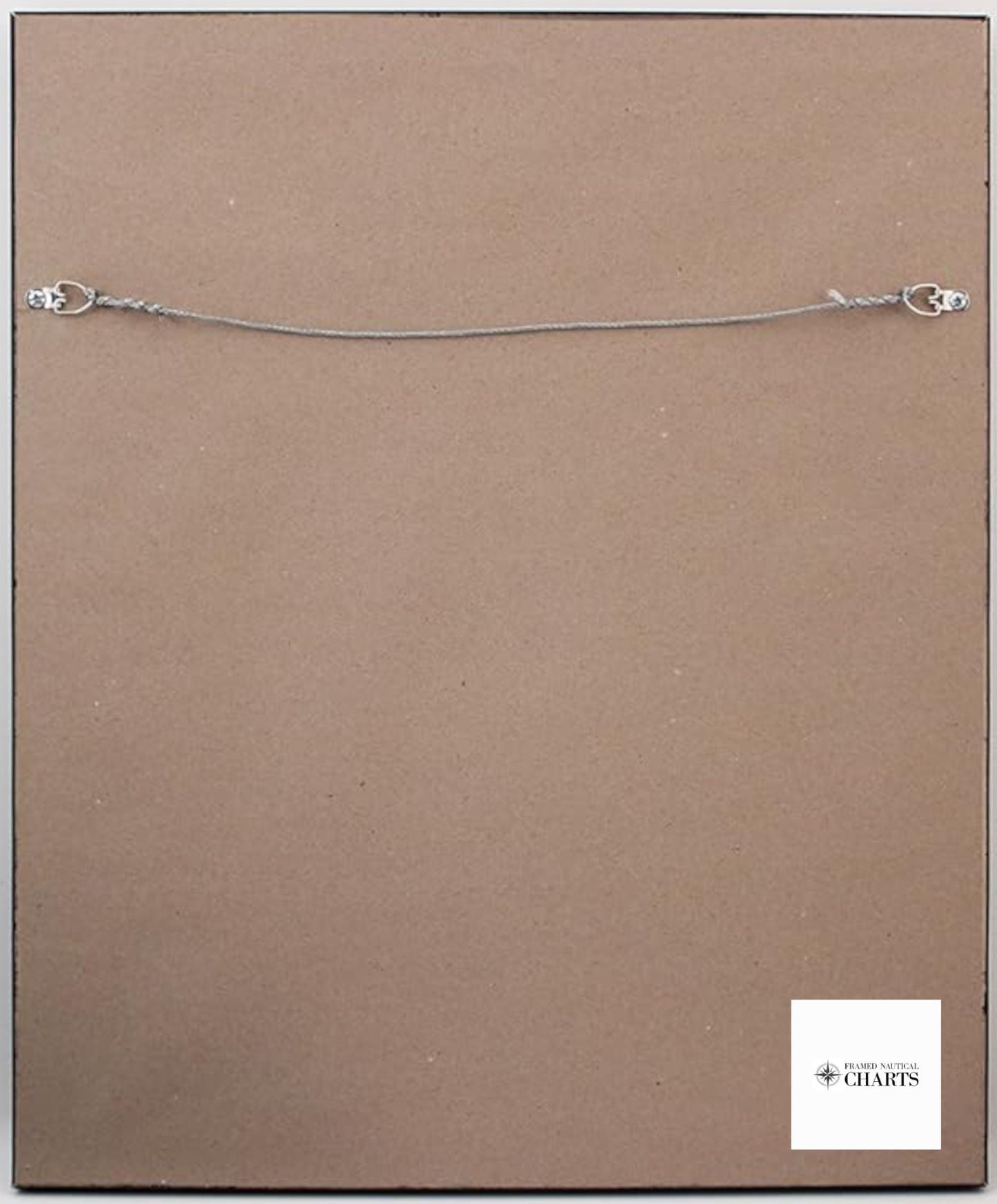
Each chart is meticulously handcrafted in the USA with a commitment to high-quality craftsmanship. The chart is elegantly displayed in a solid wood frame and features a museum-quality print made from archival paper and inks, ensuring its durability and vibrancy. It comes with a sophisticated black mat and is protected by a glass front for an added touch of elegance. The back is finished with a paper duster, and a wire hanger is included for easy installation.
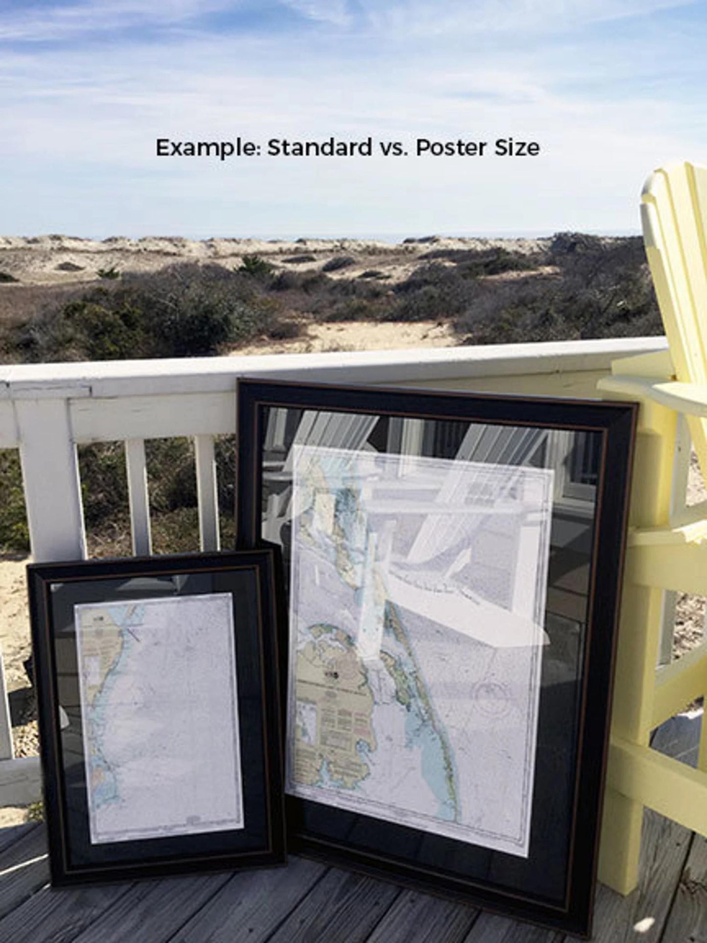
Our framed nautical charts are available in two sizes:
- Standard size with outer frame dimensions of approximately 24” H x 19 1/4” W
- Poster size with outer frame dimensions of approximately 36” H x 29” W.
Enjoy free ground shipping on your order to the 48 contiguous states. For shipments to Alaska and Hawaii, please contact us for a custom shipping quote. If you're interested in a different frame style, feel free to reach out with your requests—we're happy to help create your perfect piece. Embrace the coastal charm of Maine with this exquisite nautical chart, handmade with care just for you!
Share