Framed Nautical Charts
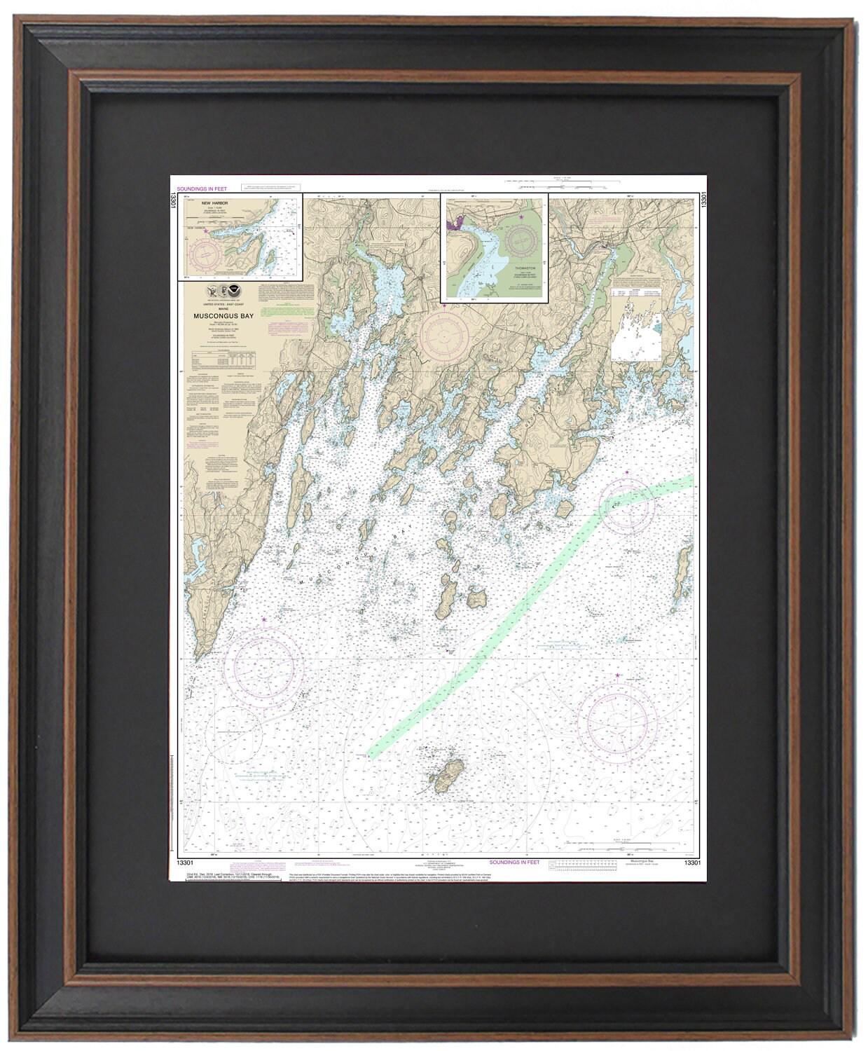
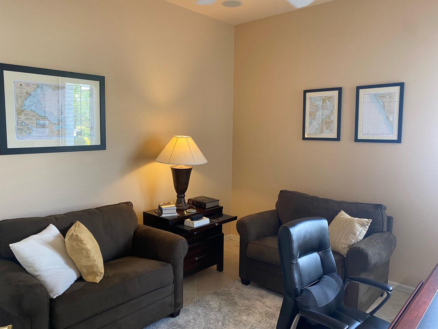
Framed Nautical Chart 13301 - Muscongus Bay, Maine. NOAA 13301. Handmade in the USA.
Framed Nautical Chart 13301 - Muscongus Bay, Maine. NOAA 13301. Handmade in the USA.
Couldn't load pickup availability
Experience the enchanting allure of Muscongus Bay, Maine, with this beautifully crafted framed nautical chart. This official NOAA nautical map offers a detailed representation of the intricate waterways that envelop Muscongus Bay, featuring the breathtaking coastlines of Bristol and Friendship, along with landmarks such as Pemaquid Point, Muscongus Sound, Mohegan Island, and Allen Island.
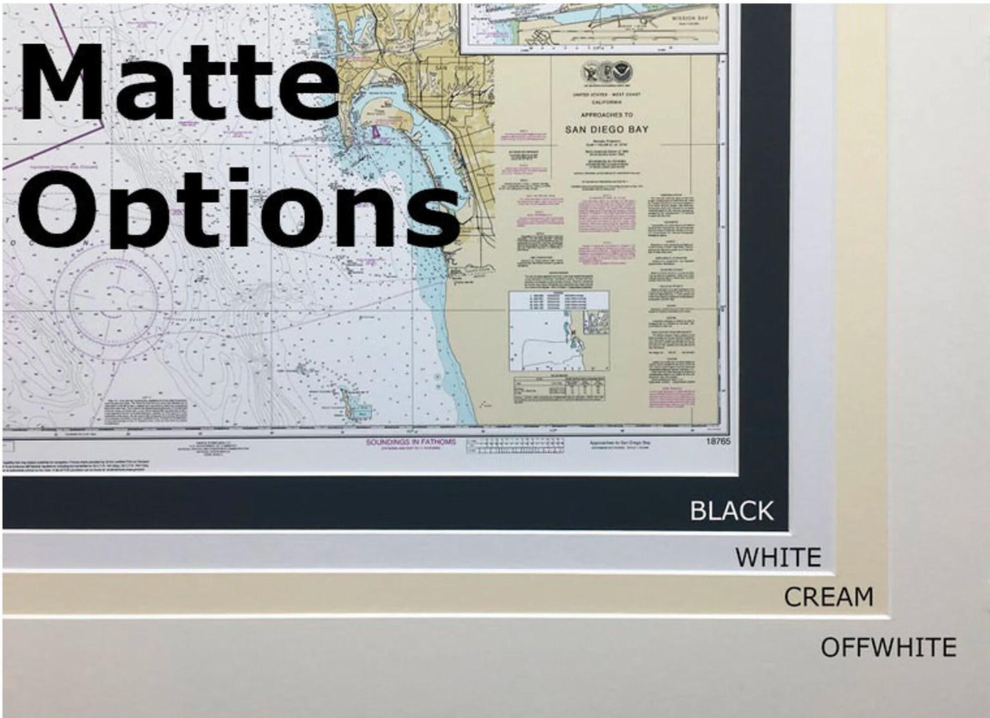
Each chart is custom-made in the USA, showcasing exceptional craftsmanship and high-quality materials. It is elegantly presented in a solid wood frame and includes a museum-quality print made from archival paper and inks. The design boasts a classic black mat and is safeguarded by a durable glass front. To enhance its presentation, the back is finished with a paper duster, and wire hangers are included for effortless installation.
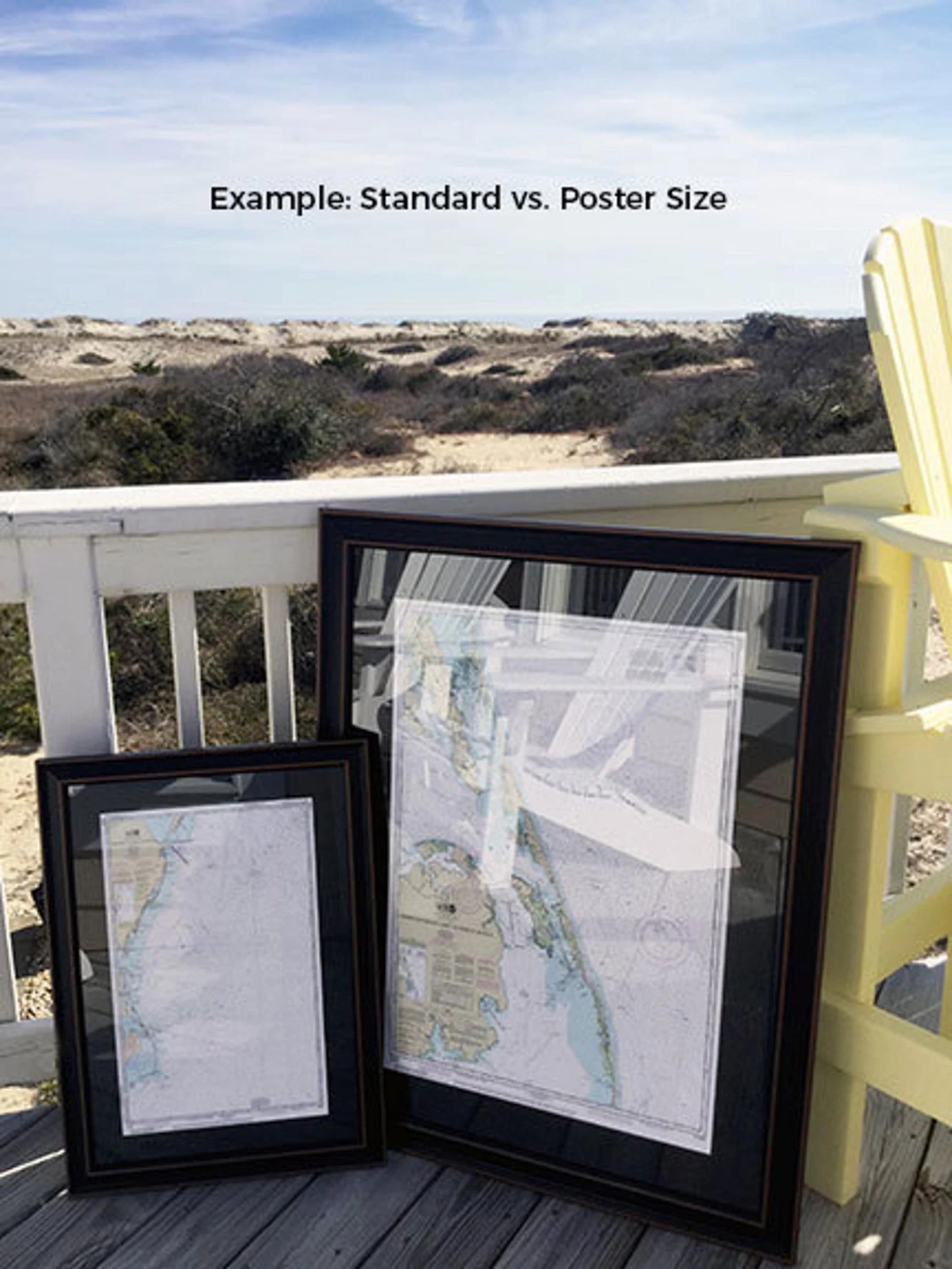
We offer our framed nautical charts in two sizes to accommodate your preferences:
- Standard size: outer frame dimensions of approximately 24" H x 18" W
- Poster size: outer frame dimensions of approximately 36" H x 27 3/4" W
If you have a specific framing style in mind, please do not hesitate to reach out. We would love to collaborate with you to create the perfect piece that aligns with your vision, so feel free to share any sample images you may have.
*Important Shipping Note: Enjoy free ground shipping for all orders within the 48 contiguous states. We strive to keep shipping costs reasonable; however, due to higher expenses for shipments to Alaska and Hawaii, please contact us for a personalized shipping quote. Embrace the beauty of Maine's coastal waterways with this distinctive work of art that seamlessly combines style and functionality.
Share