Framed Nautical Charts
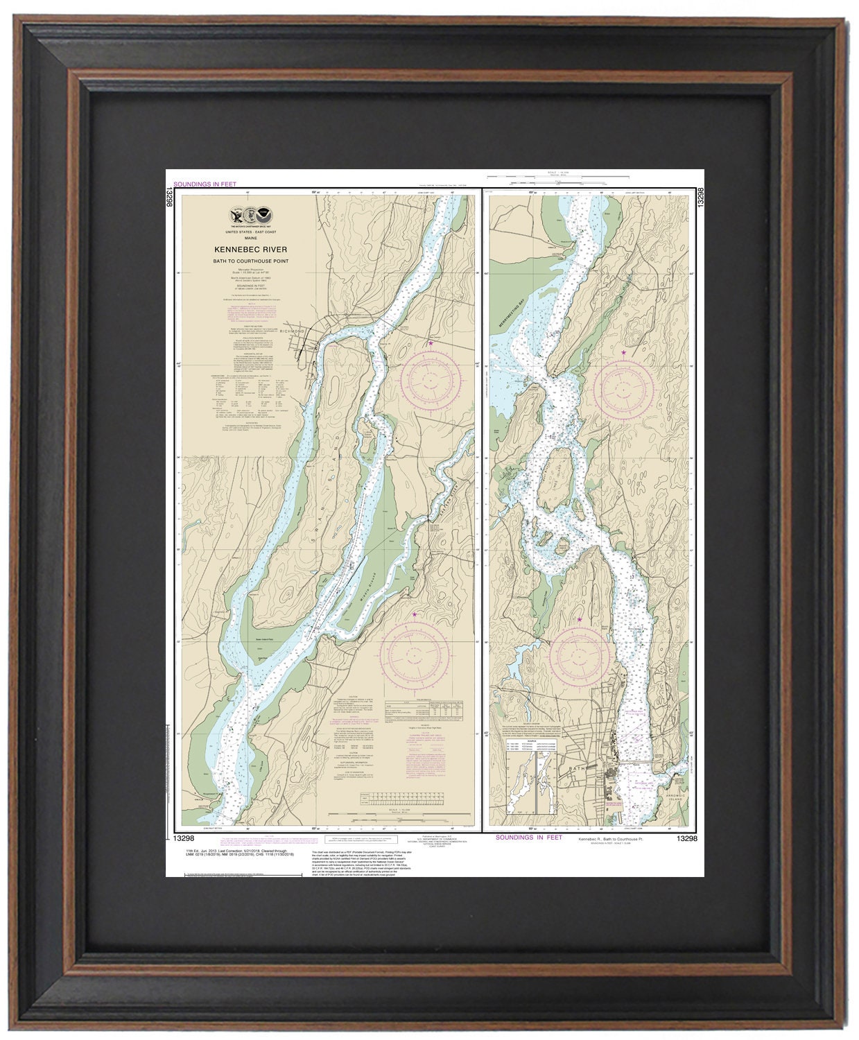
Framed Nautical Chart 13298 - Kennebec River, Maine (Bath to Courthouse Point). NOAA 13298. Handmade in the USA.
Framed Nautical Chart 13298 - Kennebec River, Maine (Bath to Courthouse Point). NOAA 13298. Handmade in the USA.
Couldn't load pickup availability
Discover the beauty of Maine's waterways with this exquisite Framed Nautical Chart, showcasing the upper section of the Kennebec River from Bath to Courthouse Point. This official NOAA Nautical Chart captures the stunning features of the Kennebec River, along with the charming towns of Richmond and Bath, and the scenic Swan Island. Each chart is meticulously handcrafted in the USA, reflecting exceptional craftsmanship and attention to detail.
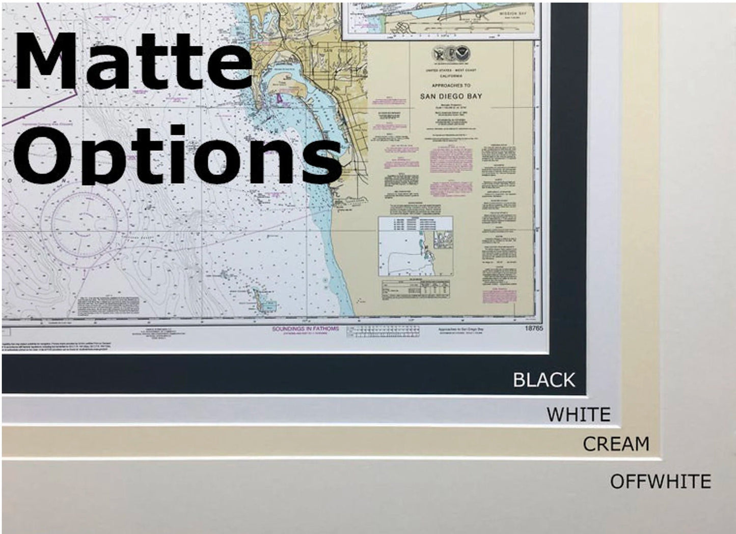
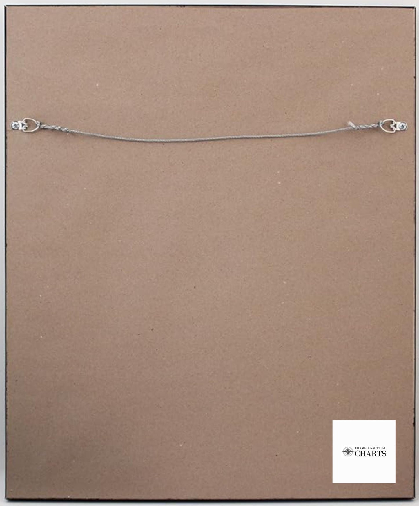
Presented in a solid wood frame, this nautical map features a museum-quality print crafted from archival paper and inks, ensuring durability and vibrancy. The chart is elegantly accented with a black mat and protected by a glass front, enhancing its visual appeal. The back is finished with a paper duster for a polished look, and a wire hanger is included for effortless installation.
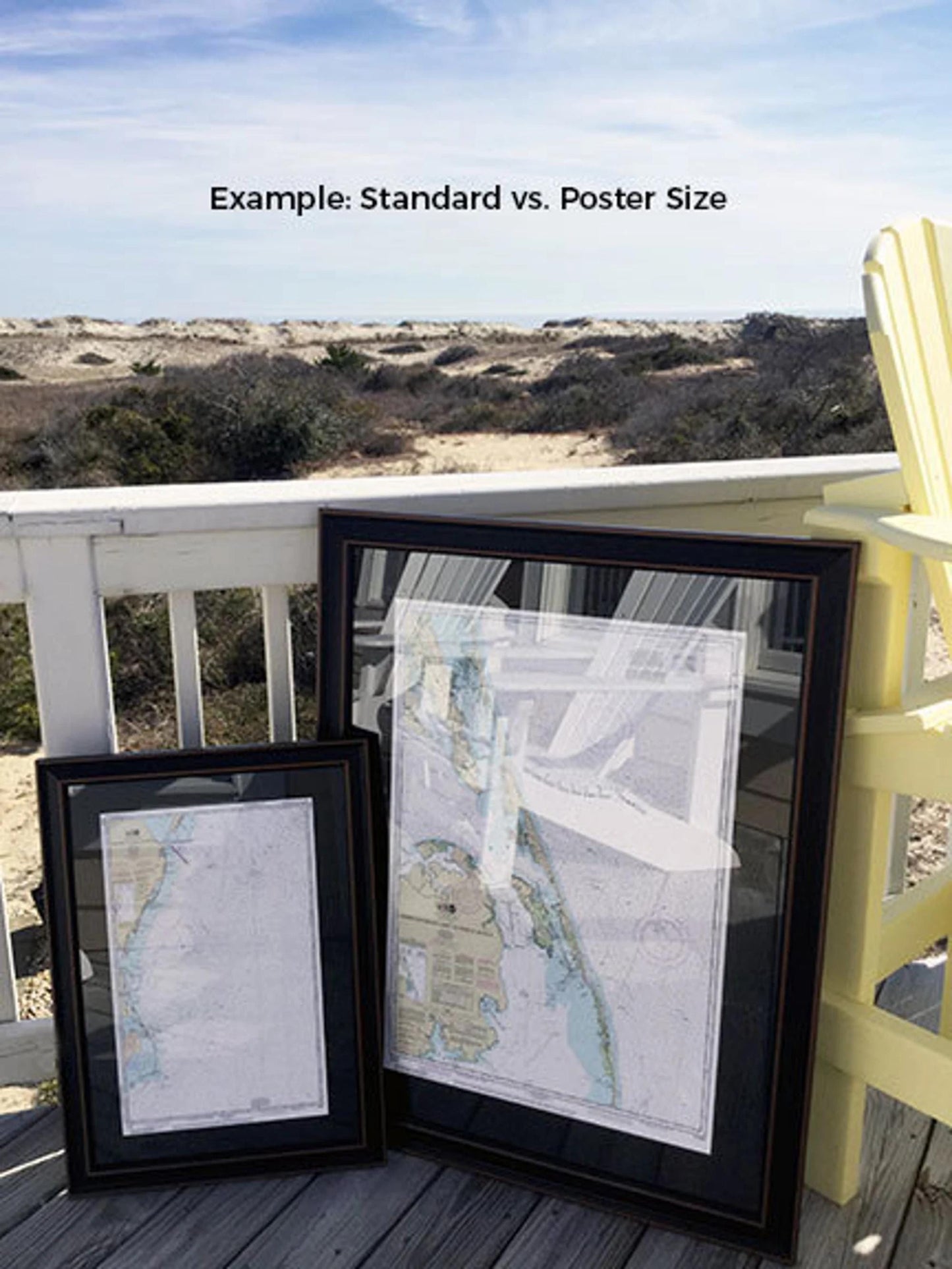
Choose from two frame sizes to best fit your space:
- Standard Size: Approx. 24" H x 17 3/4" W
- Poster Size: Approx. 36" H x 26 3/4" W
If you envision a different framing option, feel free to reach out to us with your ideas. We encourage you to share sample photos to help us create exactly what you have in mind.
*Important Shipping Note: Free ground shipping applies only to shipments within the 48 contiguous states. We do not inflate shipping costs; however, due to the high expense of shipping to Alaska and Hawaii, please contact us for custom shipping quotes.
Share