Framed Nautical Charts
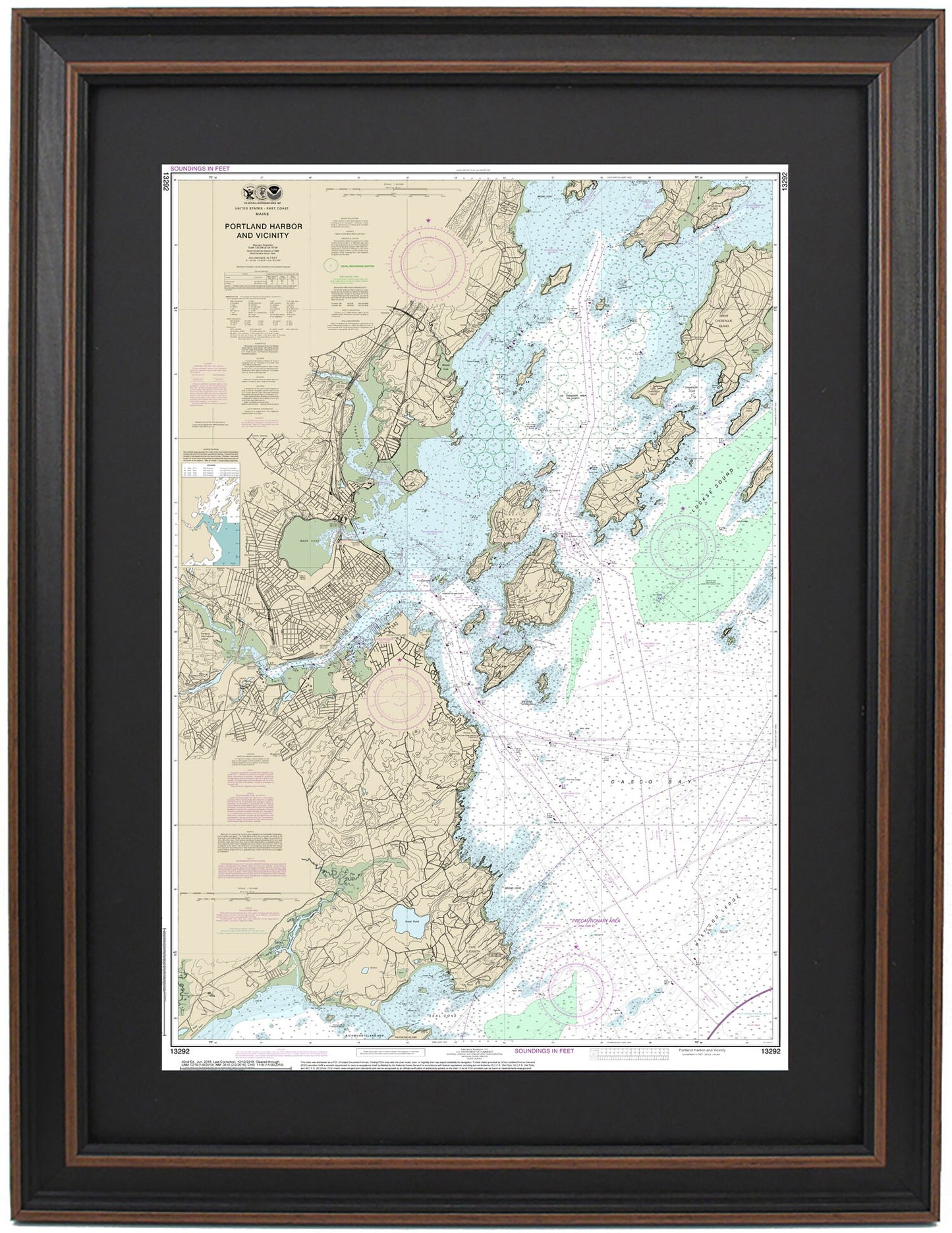
Framed Nautical Chart 13292 - Portland Harbor. NOAA 13292. Handmade in the USA.
Framed Nautical Chart 13292 - Portland Harbor. NOAA 13292. Handmade in the USA.
Couldn't load pickup availability
Discover the stunning beauty of Portland Harbor with this meticulously crafted Framed Nautical Map, NOAA Chart 13292. This official nautical chart captures the intricate details of the waters and coastline surrounding Portland Harbor, including notable areas such as Back Cove, Great Diamond Island, Peaks Island, Long Island, Great Chebeague Island, and various towns and harbors.
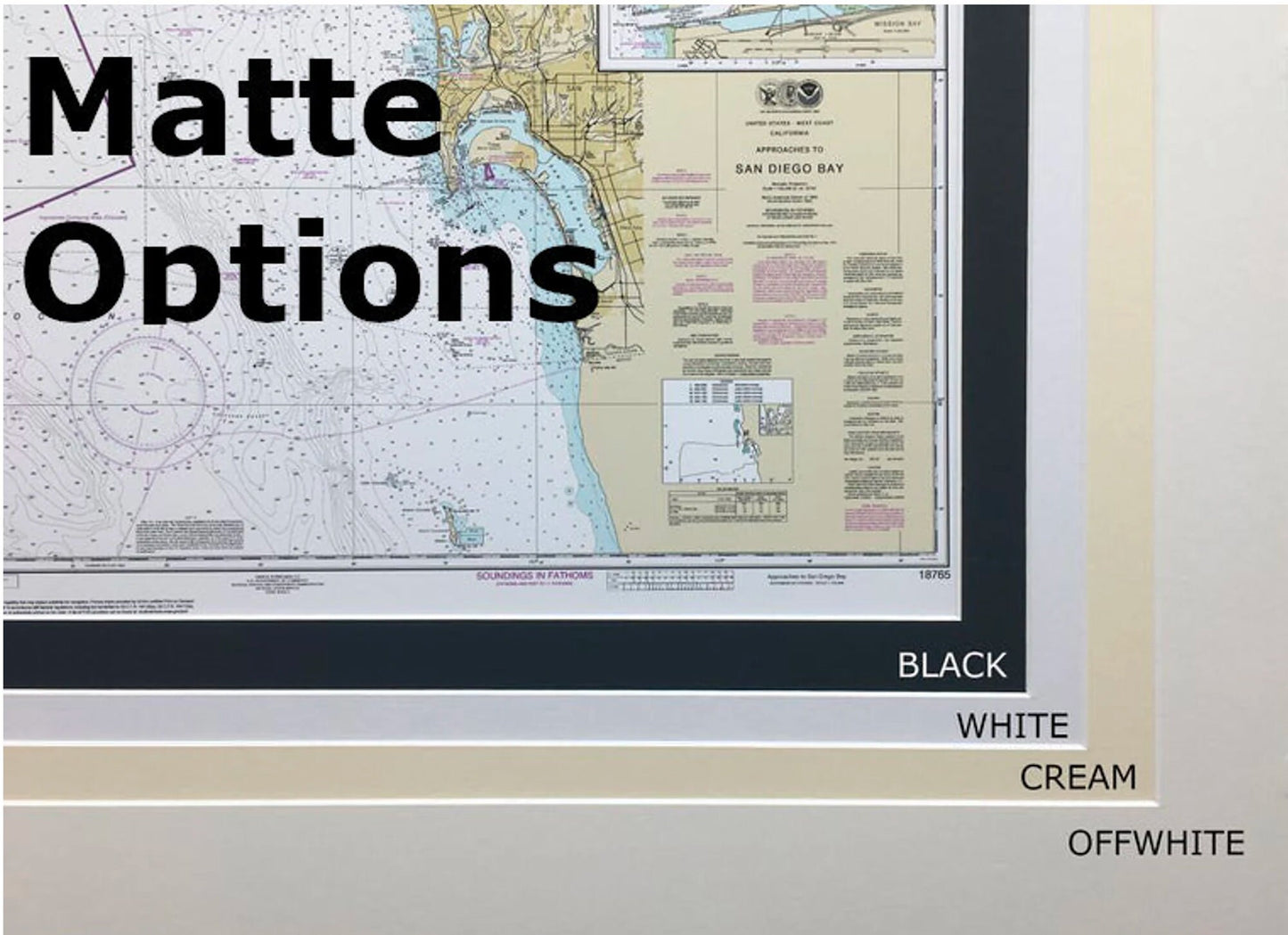
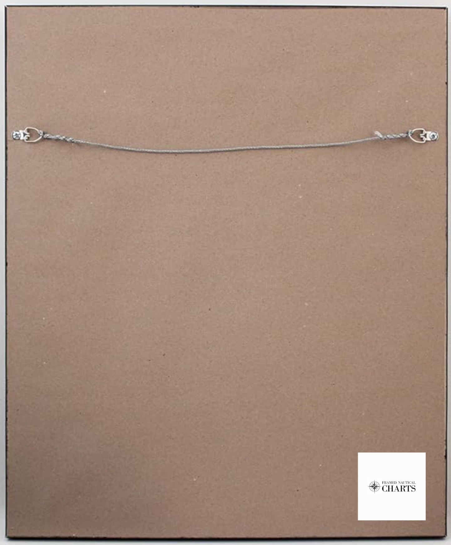
Handmade in the USA, each chart is a testament to superior craftsmanship. It is presented in a solid wood frame, showcasing a museum-quality print created from archival paper and inks. The design is enhanced by a black mat and protected by a glass front, ensuring durability. The back features a paper duster finish, and a wire hanger is included for easy installation.
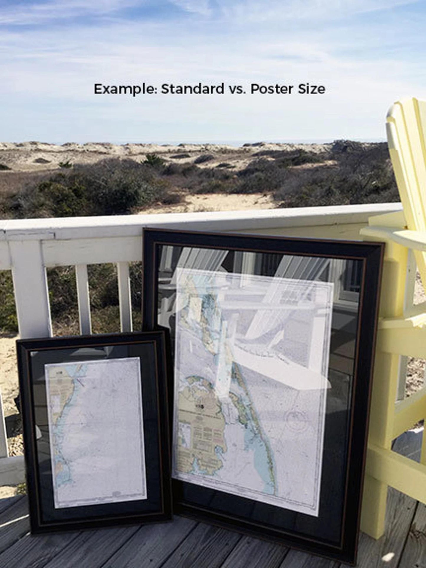
Choose from two frame sizes to suit your space:
-Standard size with outer dimensions of approximately 16" W x 24" H
-Poster size measuring approximately 24" W x 36" H
If you have a specific framing option in mind, please don't hesitate to reach out with your request. We are happy to collaborate with you to create the perfect piece that aligns with your vision.
*Important Shipping Note: Free ground shipping is available exclusively for orders shipped to the 48 contiguous states. While we do not inflate shipping costs, please contact us for custom shipping quotes for deliveries to Alaska and Hawaii due to their higher shipping rates.
Share