Framed Nautical Charts
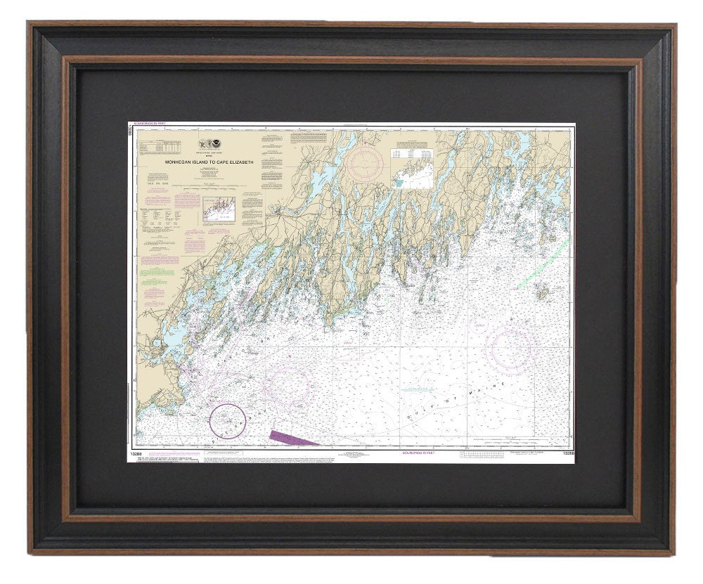
Framed Nautical Chart 13288 - Monhegan Island to Cape Elizabeth. NOAA 13288. Handmade in the USA.
Framed Nautical Chart 13288 - Monhegan Island to Cape Elizabeth. NOAA 13288. Handmade in the USA.
Couldn't load pickup availability
Discover the elegance of maritime art with our Framed Nautical Chart, which depicts the breathtaking waterways from Cape Elizabeth, Maine, to Monhegan Island. This official NOAA Nautical Chart beautifully illustrates the stunning waters of Casco Bay and the Gulf of Maine coastline. Each chart is meticulously handmade in the USA, showcasing exceptional standards of craftsmanship.
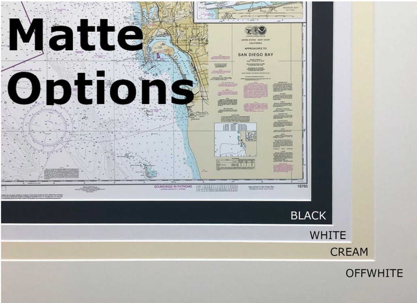
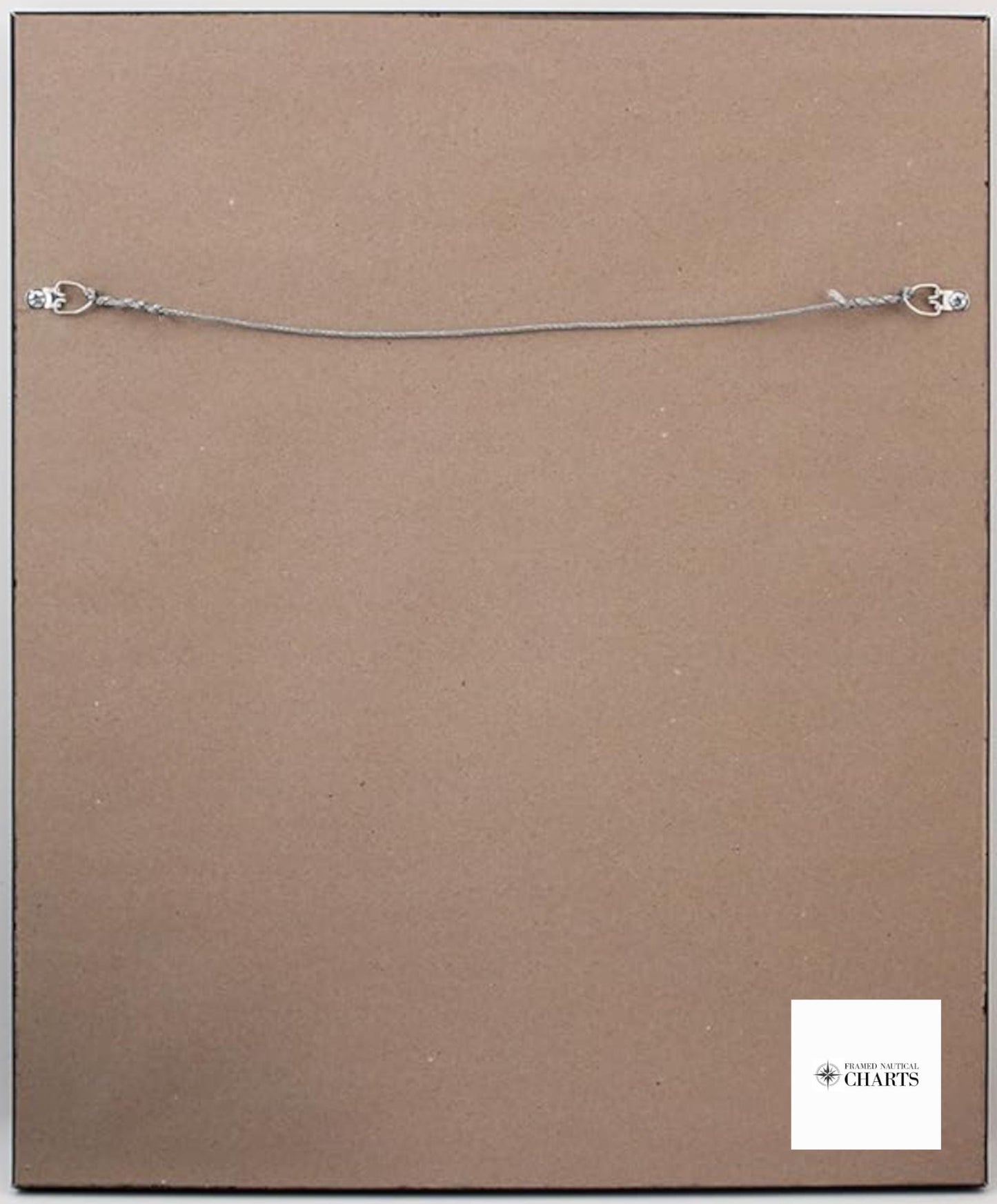
Presented in a solid wood frame, this nautical map features a museum-quality print, crafted from archival paper and inks to ensure lasting beauty. The design includes a sophisticated black mat and is protected by a glass front for durability. For a polished finish, the back is covered with a paper duster, and a convenient wire hanger is included for easy installation.
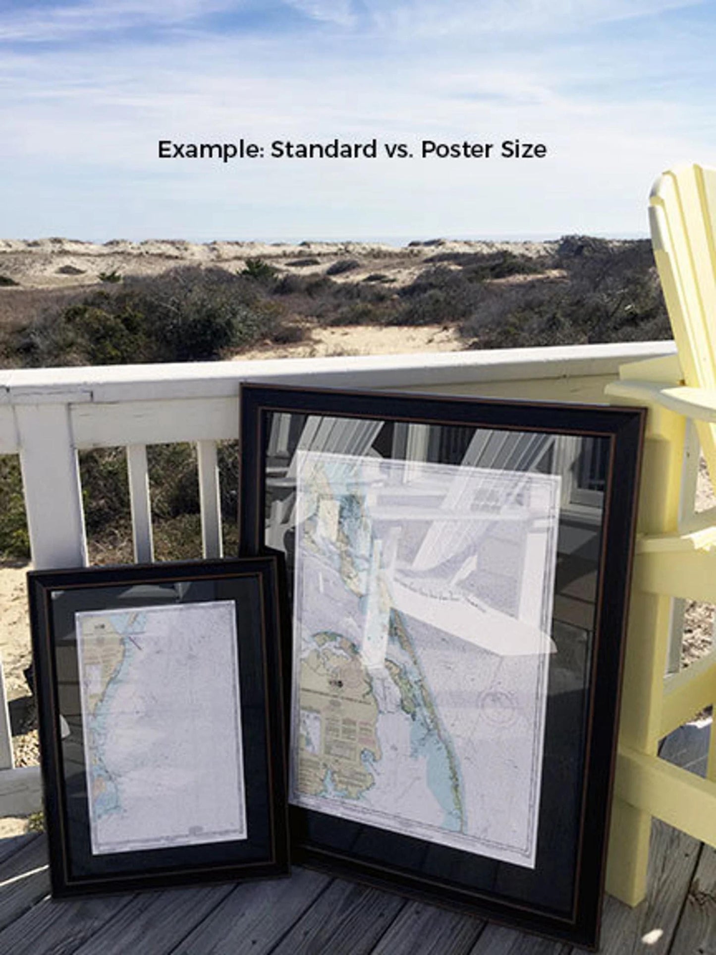
Our frames are available in two sizes:
- Standard size: Approx. 24" W x 18" H
- Poster size: Approx. 36" W x 28.5" H
If you have a specific frame option in mind, please reach out to us with your request. We are happy to work with you to create exactly what you envision.
*Important Shipping Note: Enjoy free ground shipping on all orders within the 48 contiguous states. We strive to keep our costs transparent, but please contact us for custom shipping quotes if you are located in Alaska or Hawaii, as shipping rates may vary significantly.
Share