Framed Nautical Charts
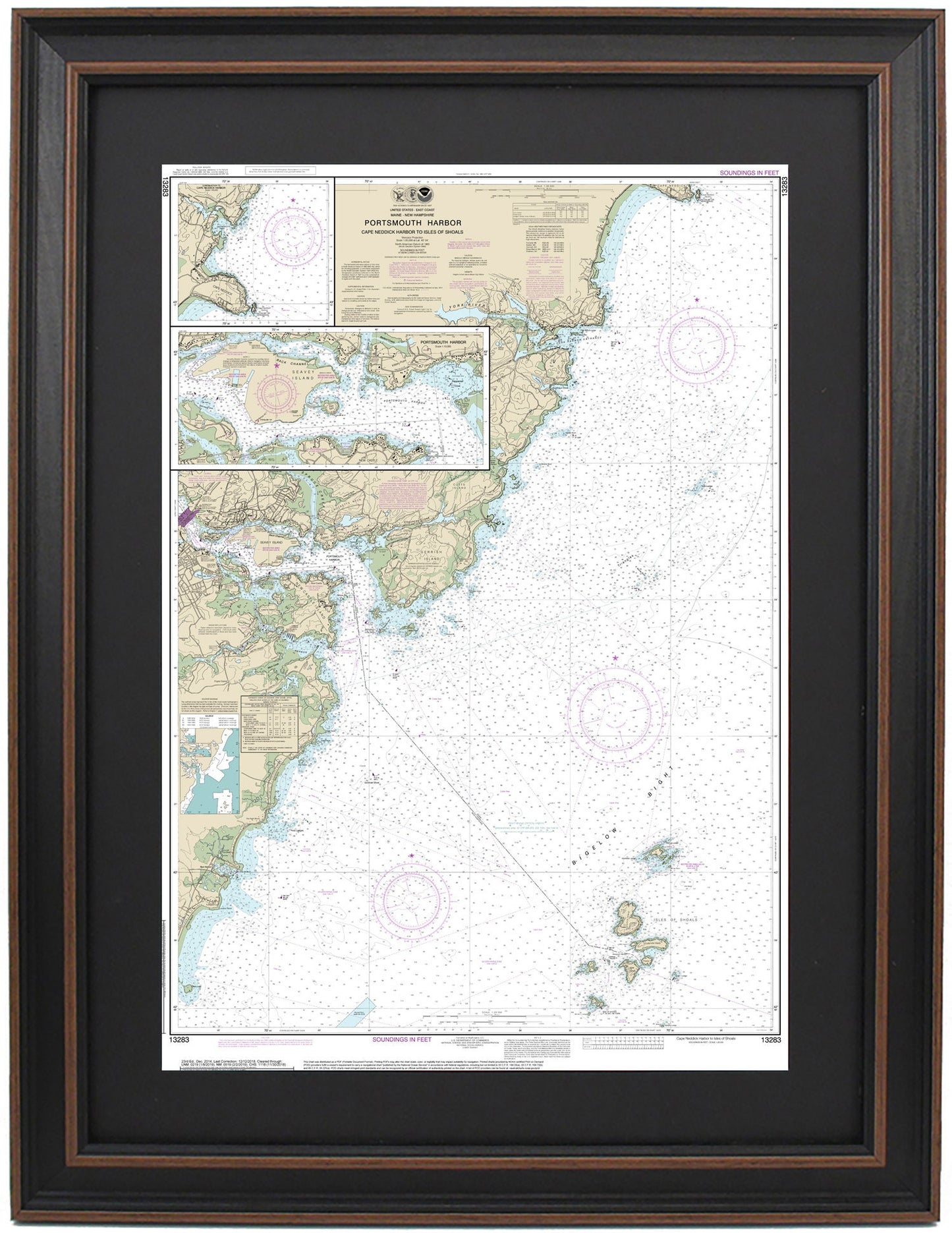
Framed Nautical Chart 13283 - Portsmouth Harbor. NOAA 13283. Handmade in the USA.
Framed Nautical Chart 13283 - Portsmouth Harbor. NOAA 13283. Handmade in the USA.
Couldn't load pickup availability
Discover the beauty of Portsmouth Harbor with this exquisite Framed Nautical Chart (NOAA 13283), meticulously handmade in the USA. This officially licensed nautical map showcases the stunning waters and coastline of Portsmouth Harbor, encompassing areas from Cape Neddick Harbor to the Isles of Shoals. Key features highlighted on the chart include the York River, Gerrish Island, New Castle Island, and Seavey Island, alongside numerous towns and harbors.
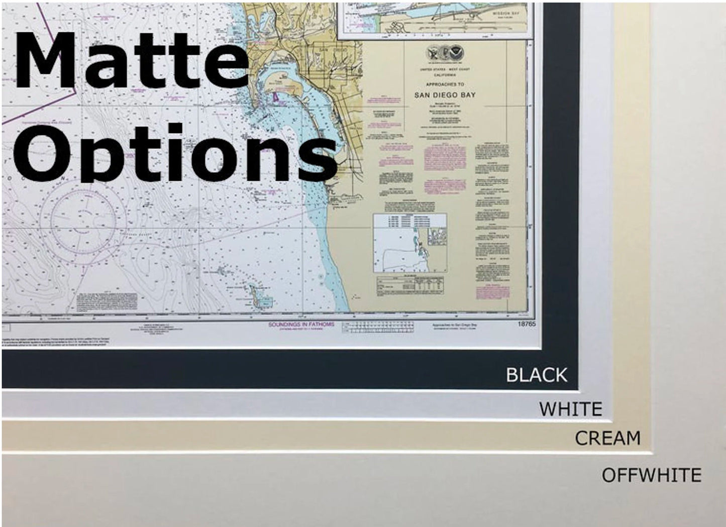
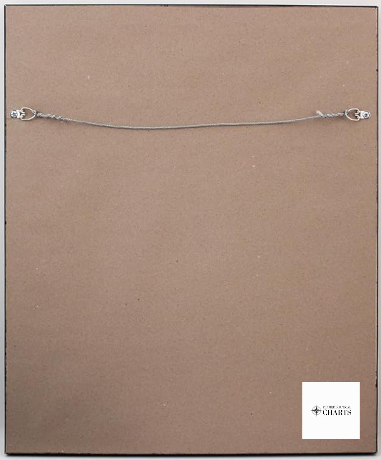
Each chart is custom-crafted with a commitment to high standards of craftsmanship. It is presented in a robust solid wood frame and features a museum-quality print made from archival paper and inks, ensuring exceptional durability and aesthetic appeal. The display is enhanced with a black mat and protected by a glass front, making it a perfect accent for any space. The back is elegantly finished with a paper duster, and a wire hanger is included for easy installation.
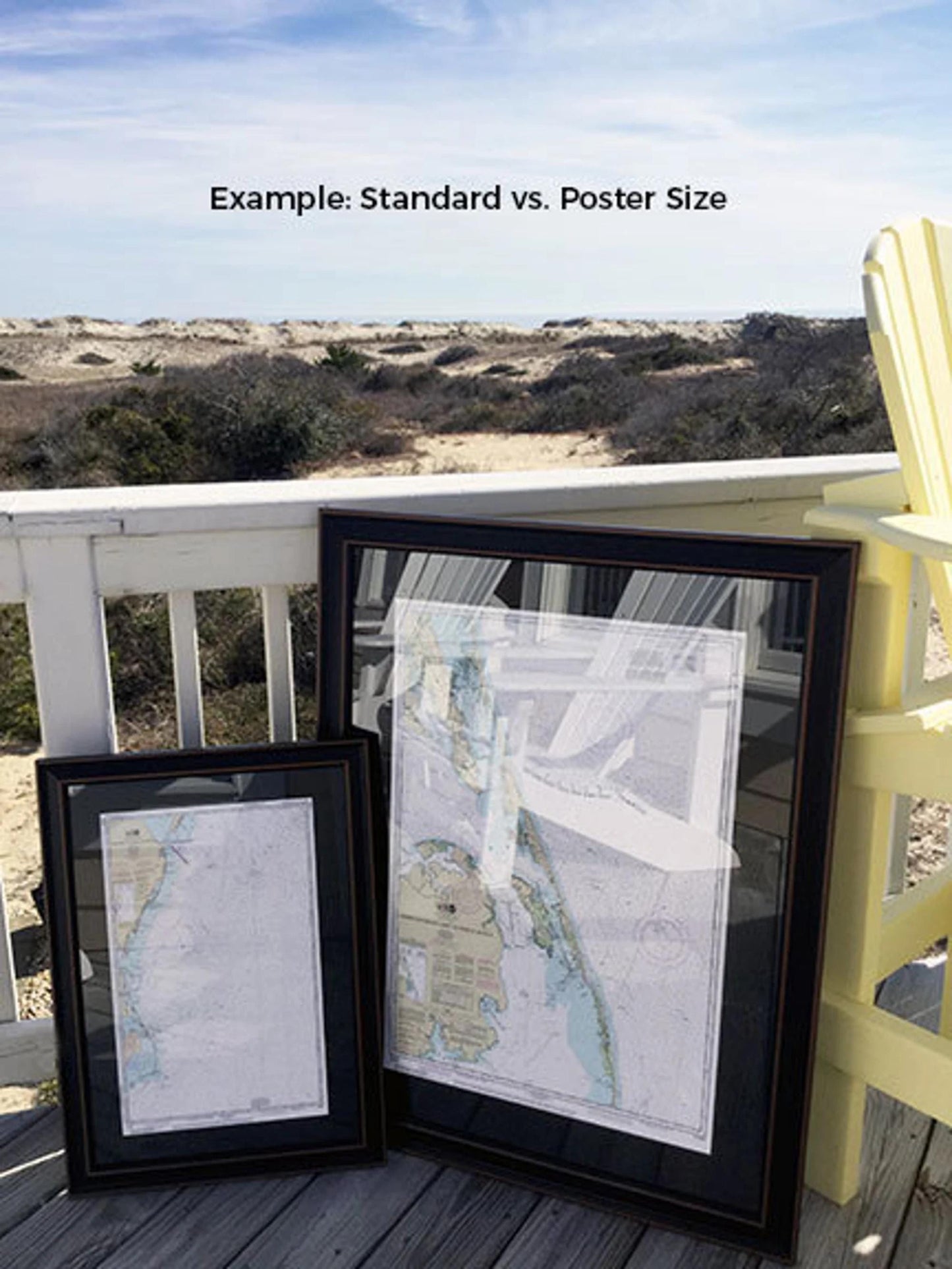
Available in two sizes:
- Standard size: Outer frame dimensions approximately 16 1/2" W x 24" H.
- Poster size: Outer frame dimensions approximately 24 1/4" W x 36" H.
If you have specific frame preferences, feel free to reach out to us with your request. We are happy to collaborate with you to create the perfect display that aligns with your vision.
*Important Shipping Note: We offer free ground shipping exclusively for deliveries within the 48 contiguous states. While we do not impose extra shipping charges, please note that shipping costs to Alaska and Hawaii can be substantial. For custom shipping quotes to these locations, kindly contact us.
Share