Framed Nautical Charts
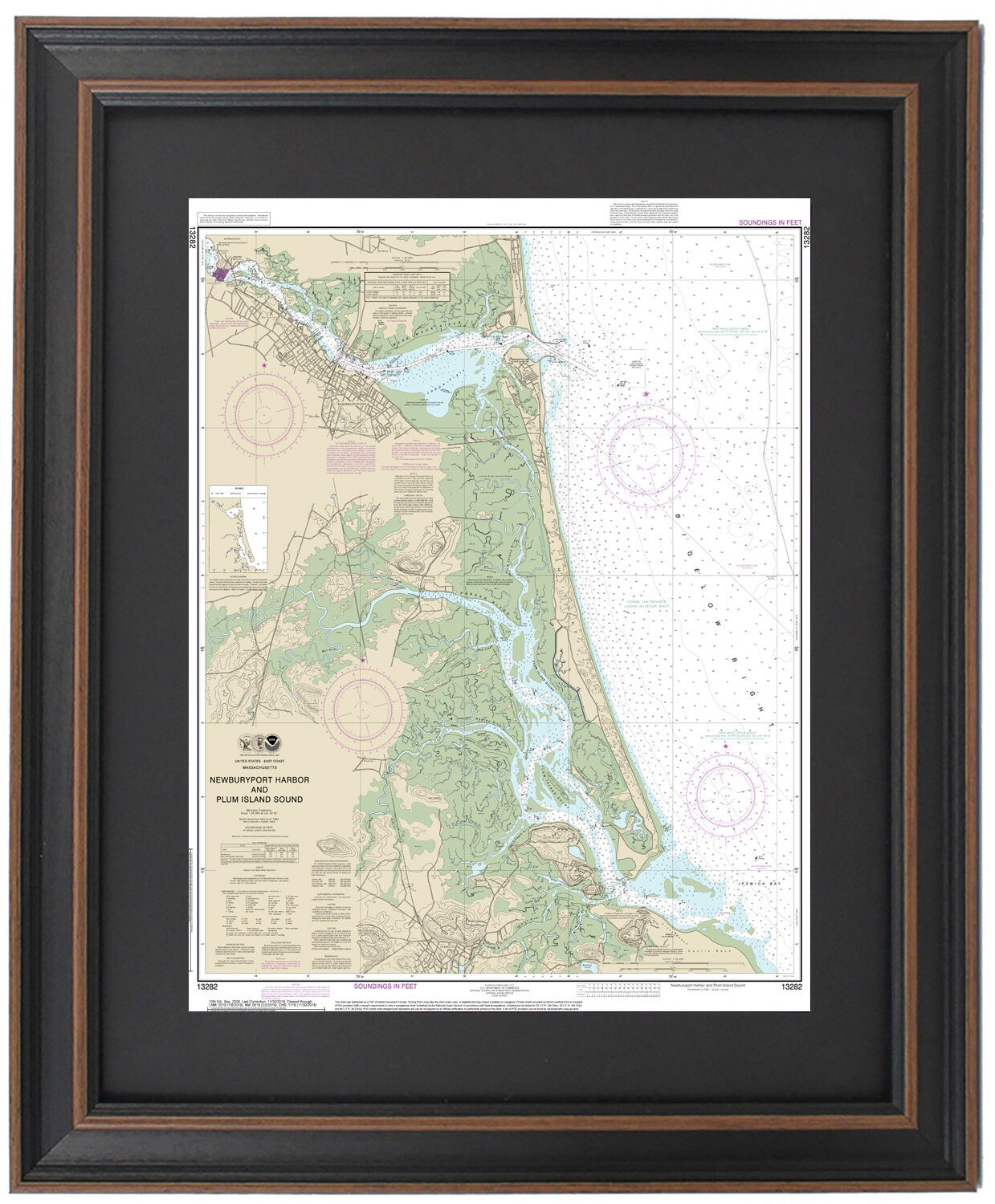
Framed Nautical Chart 13282 - Newburyport Harbor and Plum Island Sound. NOAA 13282. Handmade in the USA.
Framed Nautical Chart 13282 - Newburyport Harbor and Plum Island Sound. NOAA 13282. Handmade in the USA.
Couldn't load pickup availability
Discover the beauty of Newburyport Harbor and Plum Island Sound with this exquisite Framed Nautical Chart (NOAA 13282). This detailed nautical map captures the stunning waters and coastline of the area, including Ipswich Bay, Bigelow Bight, the Merrimack River, Salisbury Beach, and various towns and harbors.
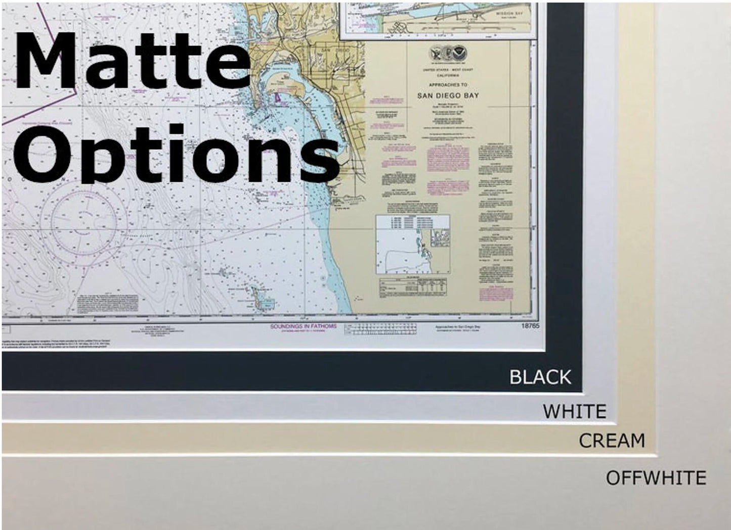
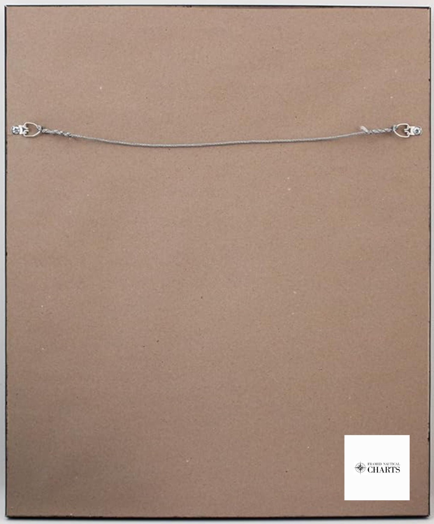
Each chart is carefully handcrafted in the USA, showcasing exceptional craftsmanship. It comes elegantly framed in solid wood and features a museum-quality print made from archival paper and inks. The design includes a black mat and is protected by a glass front, ensuring both durability and visual appeal. The back is finished with a paper duster for a polished look, and it comes with a convenient wire hanger for easy installation.
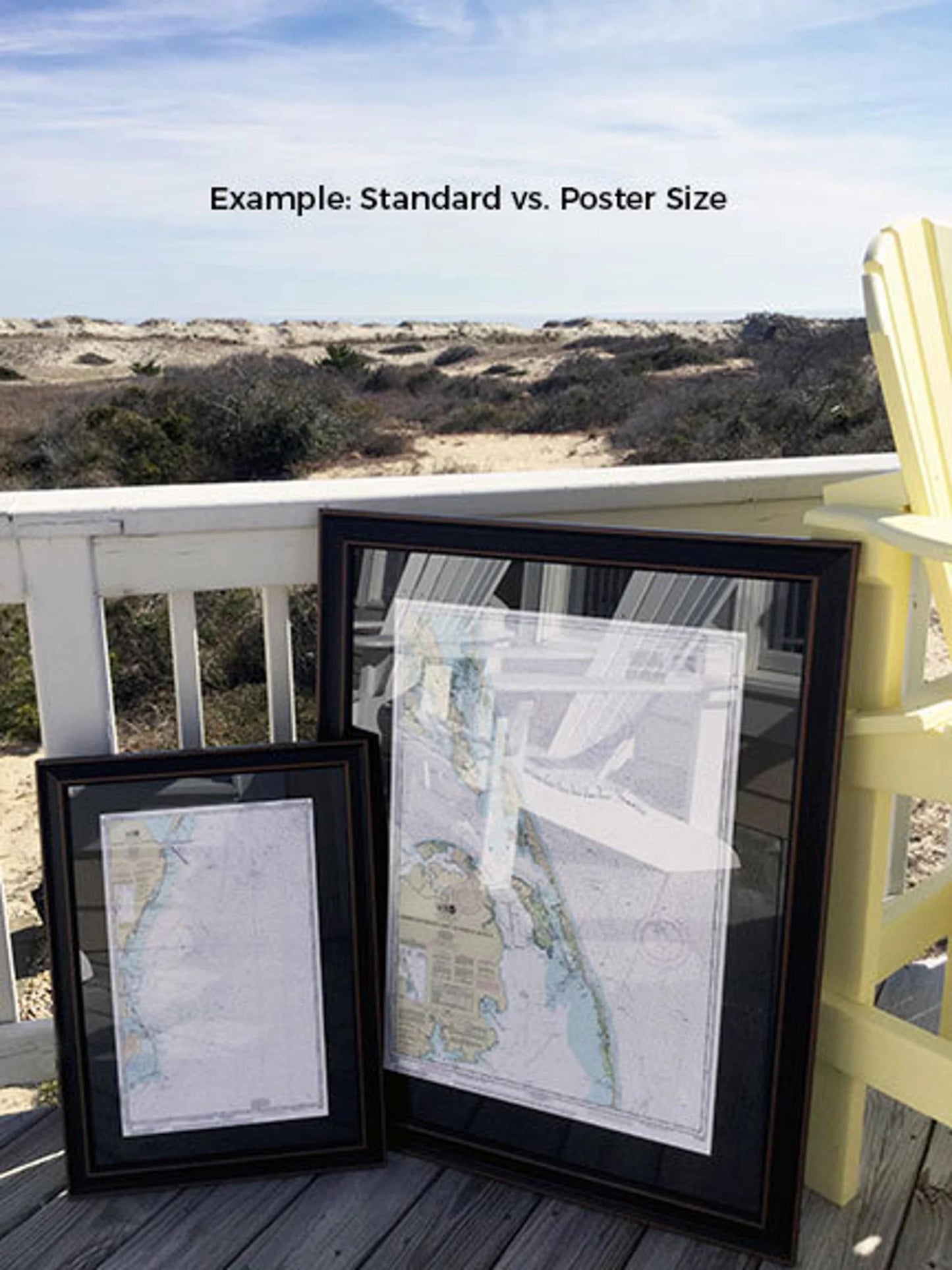
This framed nautical chart is available in two sizes: the standard size has outer frame dimensions of approximately 19" W x 24" H, while the poster size measures approximately 28 3/4" W x 36" H. If you have a specific frame option in mind, please feel free to reach out with your request—your vision is important to us, and we welcome any sample photos that can assist in creating your ideal piece.
**Important Shipping Note:** Free ground shipping is provided for shipments within the 48 contiguous states. We do not apply additional shipping fees, but due to the higher costs associated with shipping to Alaska and Hawaii, we encourage you to contact us for custom shipping quotes. Enhance your home or office decor with this stunning representation of nautical heritage!
Share