Framed Nautical Charts
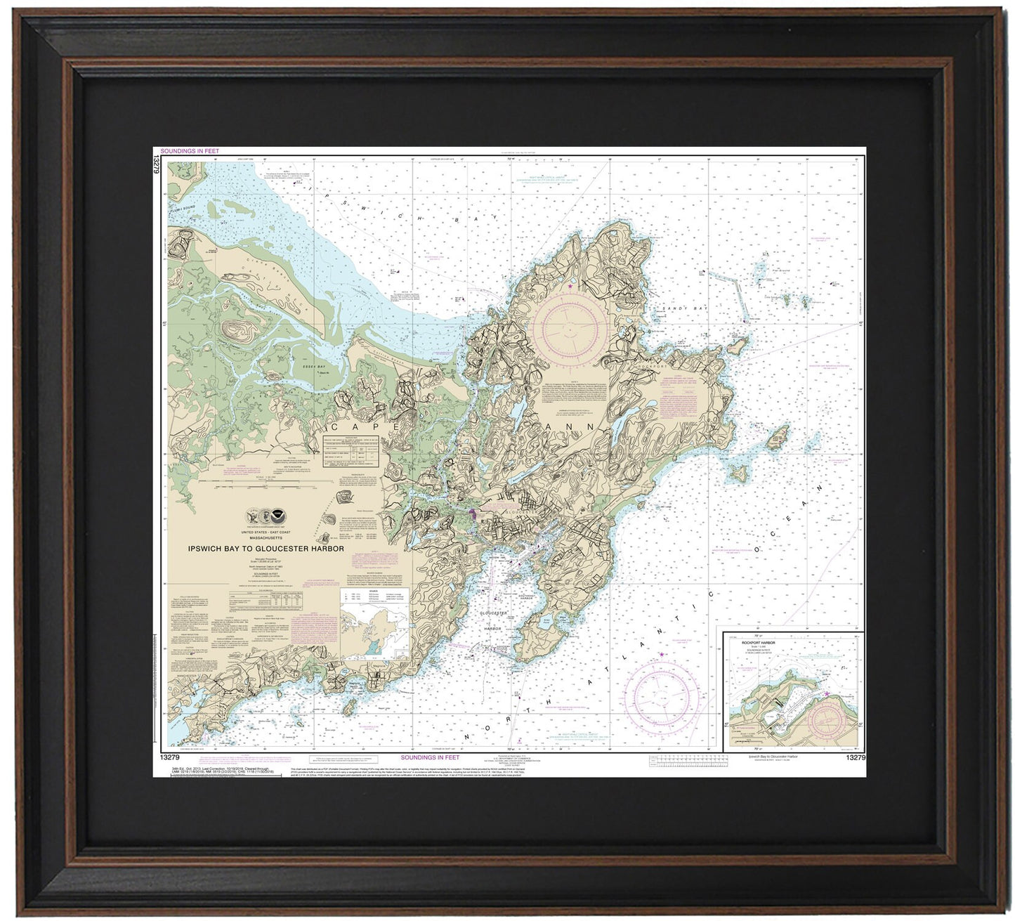
Framed Nautical Chart 13279 - Ipswich Bay to Gloucester Harbor. NOAA 13279. Handmade in the USA.
Framed Nautical Chart 13279 - Ipswich Bay to Gloucester Harbor. NOAA 13279. Handmade in the USA.
Couldn't load pickup availability
Explore the stunning waters of Ipswich Bay to Gloucester Harbor with this beautifully framed nautical chart, NOAA 13279. This official nautical map captures the breathtaking coastline of Cape Ann, Gloucester, Sandy Bay, and the surrounding towns and harbors. Each chart is custom handmade in the USA, showcasing exceptional craftsmanship and attention to detail.
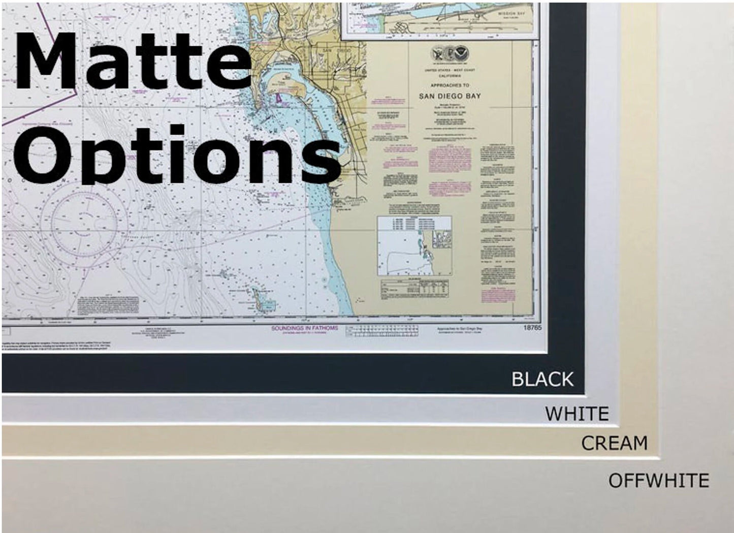
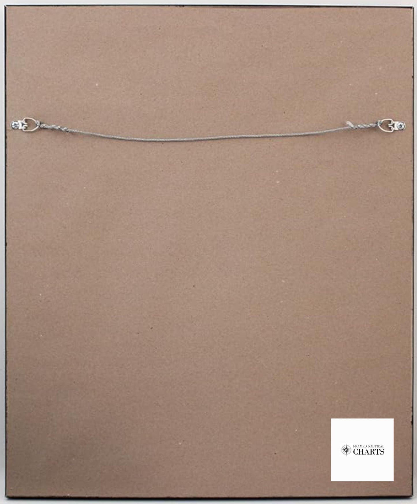
Presented in a solid wood frame, this chart features a museum-quality print made from archival paper and inks, ensuring longevity and vibrancy. The elegant black mat enhances the visual appeal, while the glass front protects the intricate details. The back is finished with a paper duster for a polished look, and it comes complete with a wire hanger for easy installation.
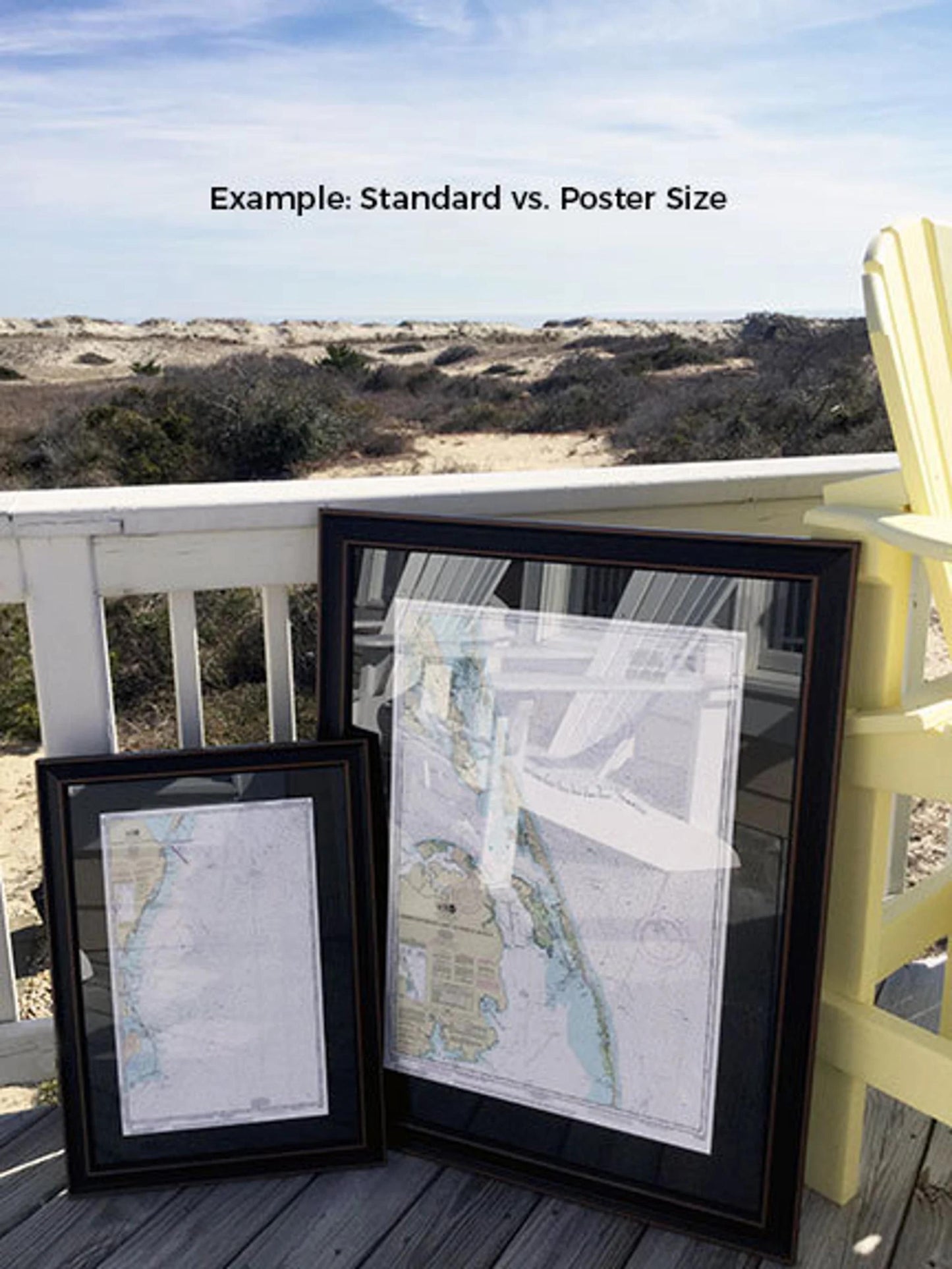
Choose from two sizes: the standard size has outer frame dimensions of approximately 21 3/4" W x 24" H, while the poster size measures approximately 32 1/2" W x 36" H. If you're interested in a different frame style, please contact us with your preferences; we would love to help create your perfect vision.
Enjoy free ground shipping for orders within the 48 contiguous states. Please note that we do not inflate shipping costs; however, due to the high expense of shipping to Alaska and Hawaii, we recommend reaching out for a custom shipping quote. Embrace the beauty of nautical art with this exquisite framed chart, perfect for enhancing your home or office decor.
Share