Framed Nautical Charts
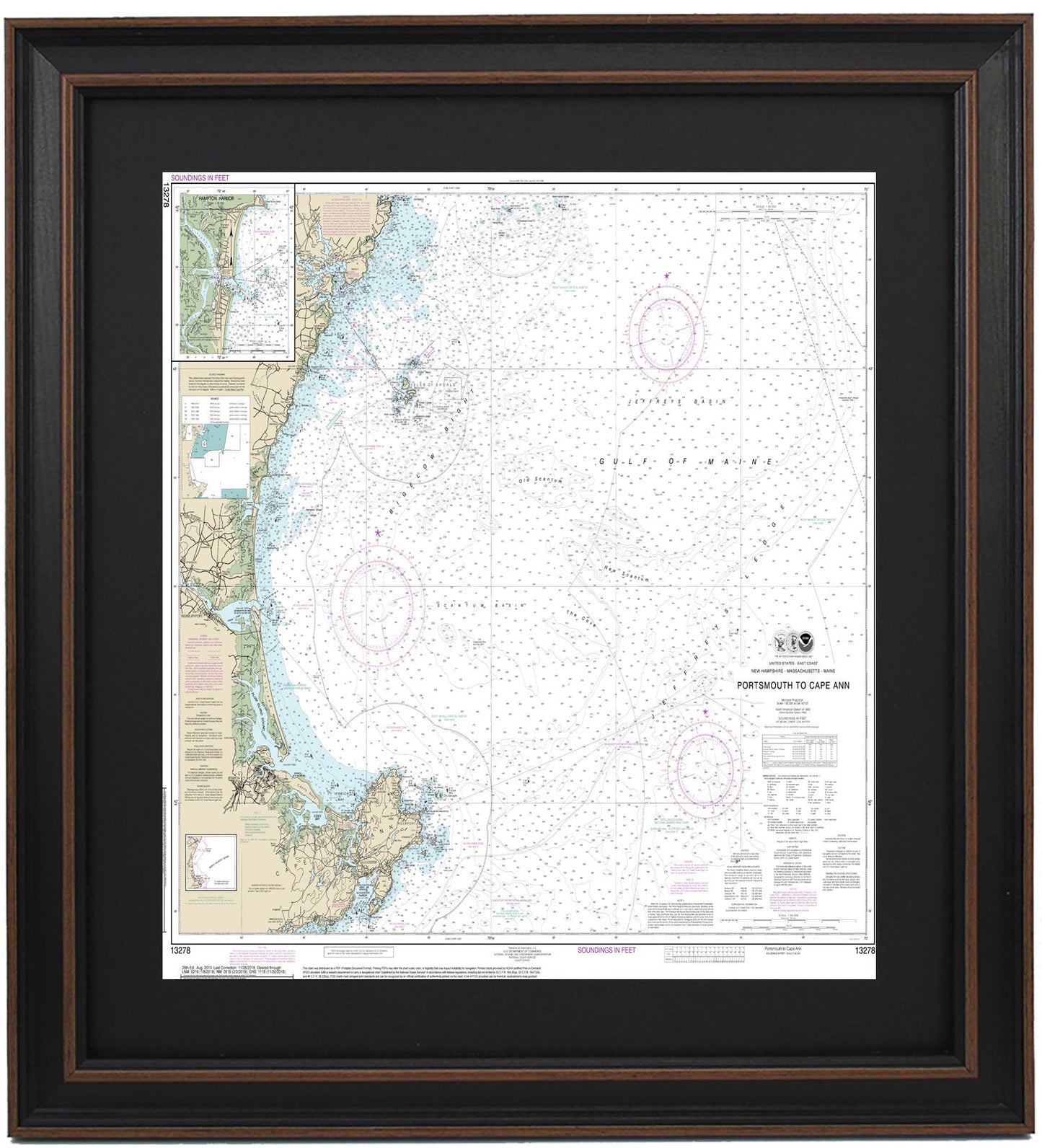
Framed Nautical Chart 13278 - Portsmouth to Cape Anne. NOAA 13278. Handmade in the USA.
Framed Nautical Chart 13278 - Portsmouth to Cape Anne. NOAA 13278. Handmade in the USA.
Couldn't load pickup availability
Discover the charm of the New England coastline with our beautifully framed nautical chart, depicting the stunning waters from Portsmouth to Cape Ann, MA. This official NOAA Nautical Chart, number 13278, details the Gulf of Maine, Bigelow Bight, the Isles of Shoals, and various picturesque towns and harbors along the route.
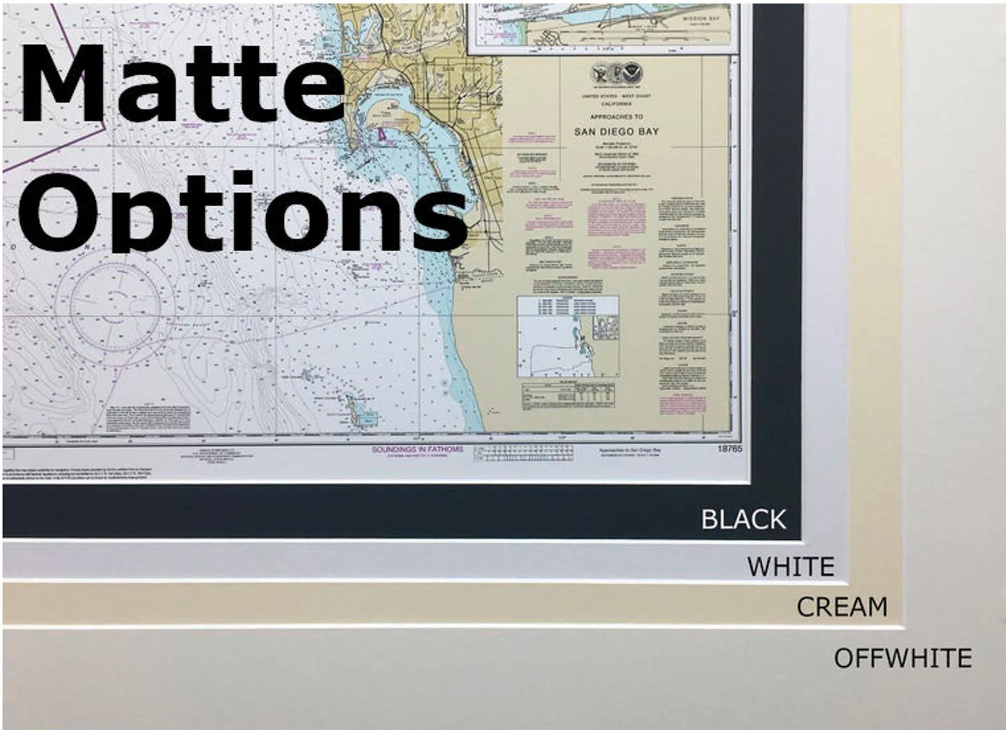
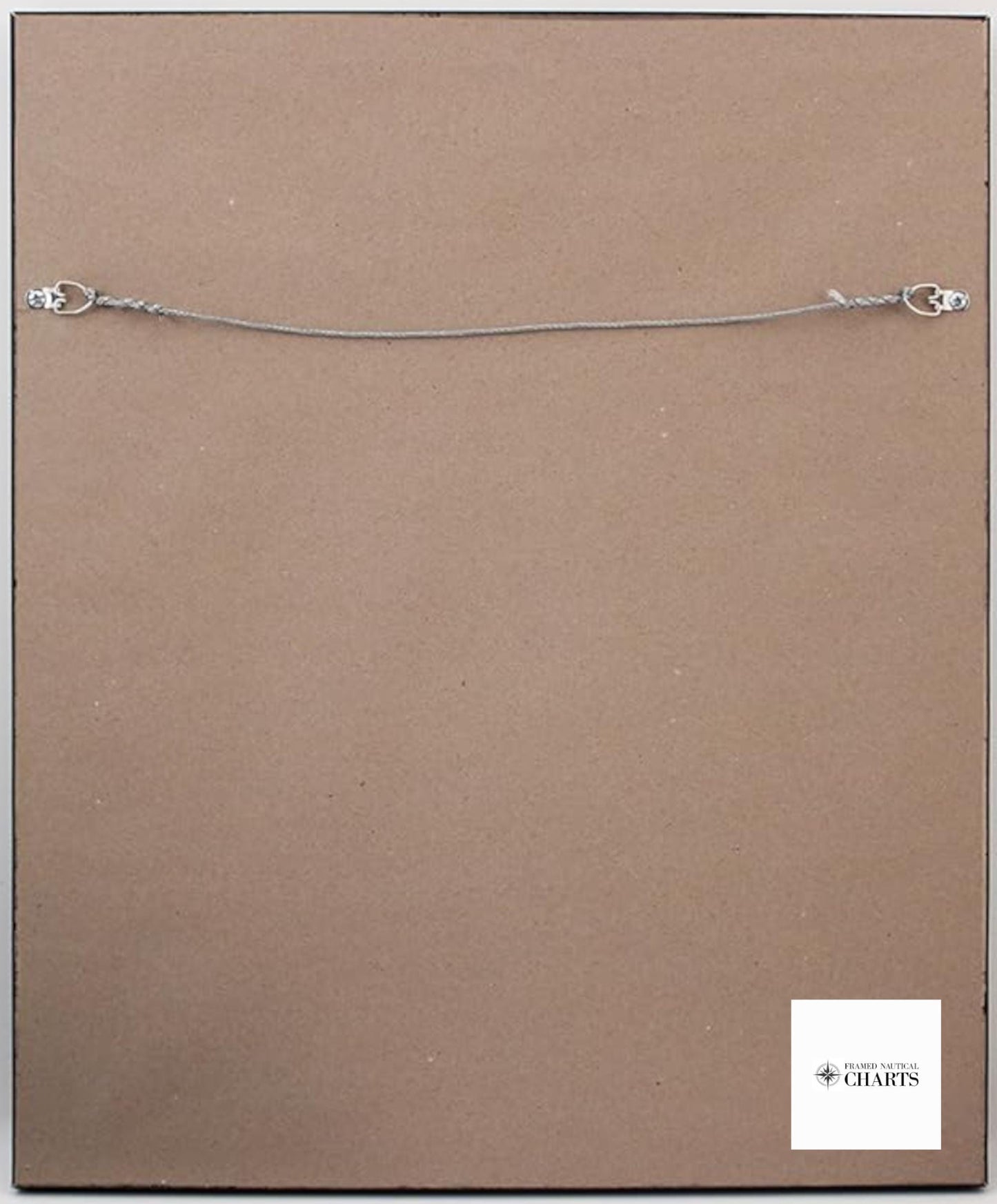
Each chart is meticulously handcrafted in the USA, showcasing exceptional craftsmanship and quality. It comes elegantly presented in a solid wood frame, featuring a museum-quality print created from archival paper and inks for longevity. The chart is enhanced with a chic black mat and is protected by a durable glass front. We pay attention to detail with a finished back that includes a paper duster, and each piece is equipped with a wire hanger for easy installation.
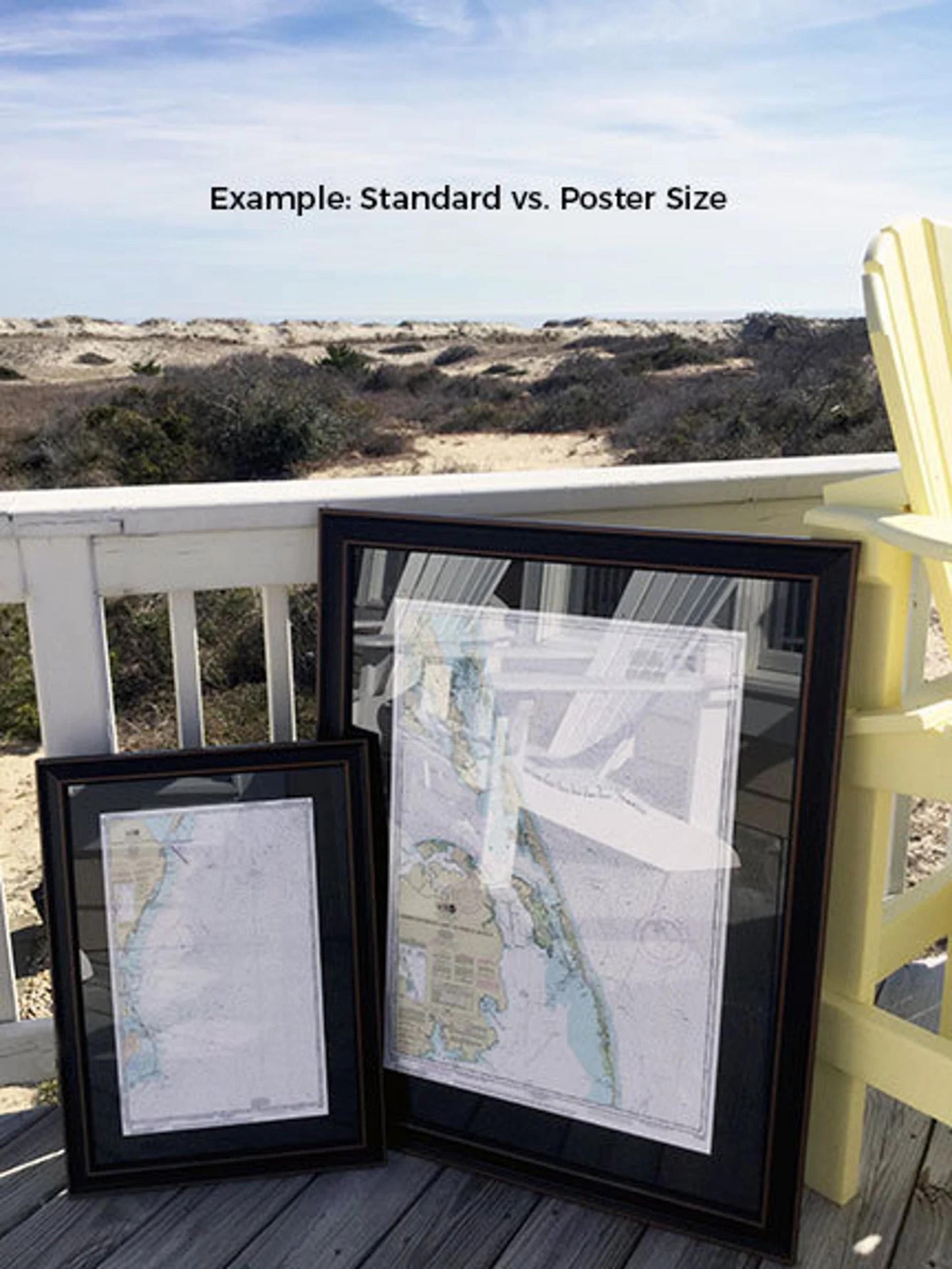
We offer this stunning nautical chart in two sizes to fit your space perfectly: the standard size with outer frame dimensions of approximately 21 1/4" W x 24" H, and the poster size measuring approximately 31 3/4" W x 36" H. If you have a specific frame style in mind, don’t hesitate to reach out with your requests; we are happy to collaborate with you to create a custom piece that matches your vision.
Please note our shipping policy: we offer free ground shipping within the 48 contiguous states. While we do not inflate shipping costs, we advise that shipping to Alaska and Hawaii incurs higher fees; please contact us for a personalized shipping quote. Capture the essence of these beautiful waterways in your home with this exquisite framed nautical chart!
Share