Framed Nautical Charts
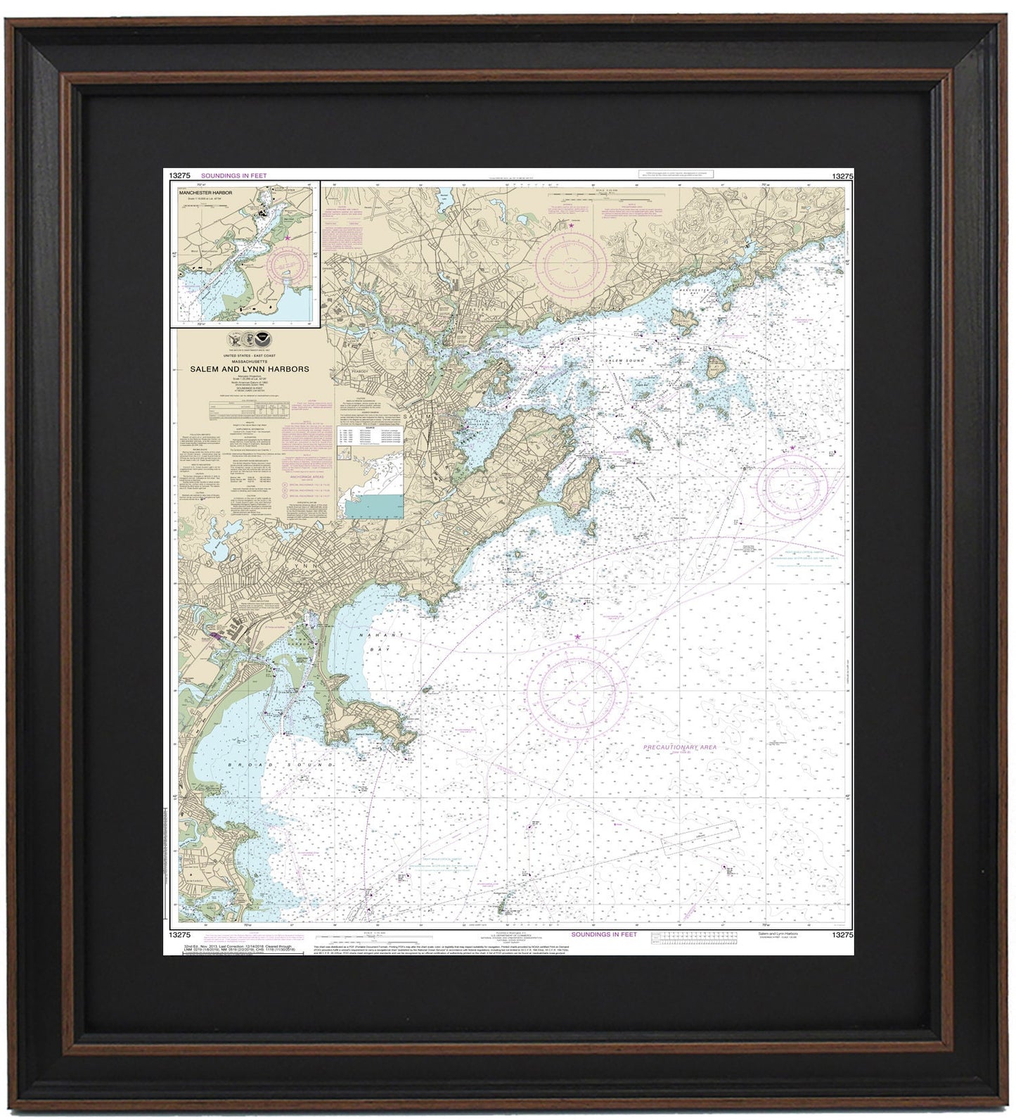
Framed Nautical Chart 13275 - Salem and Lynn Harbors. NOAA 13275. Handmade in the USA.
Framed Nautical Chart 13275 - Salem and Lynn Harbors. NOAA 13275. Handmade in the USA.
Couldn't load pickup availability
Discover the beauty of Salem and Lynn Harbors, Massachusetts with this exquisite Framed Nautical Chart 13275, an official NOAA nautical chart that showcases the stunning waterways and coastline of this picturesque region, including the towns of Lynn, Salem, Beverly, and Manchester, as well as other nearby harbors. Each chart is meticulously handmade in the USA, demonstrating exceptional craftsmanship and attention to detail.
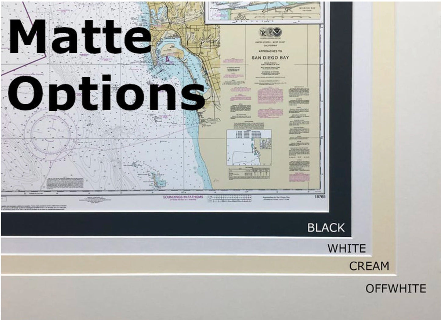
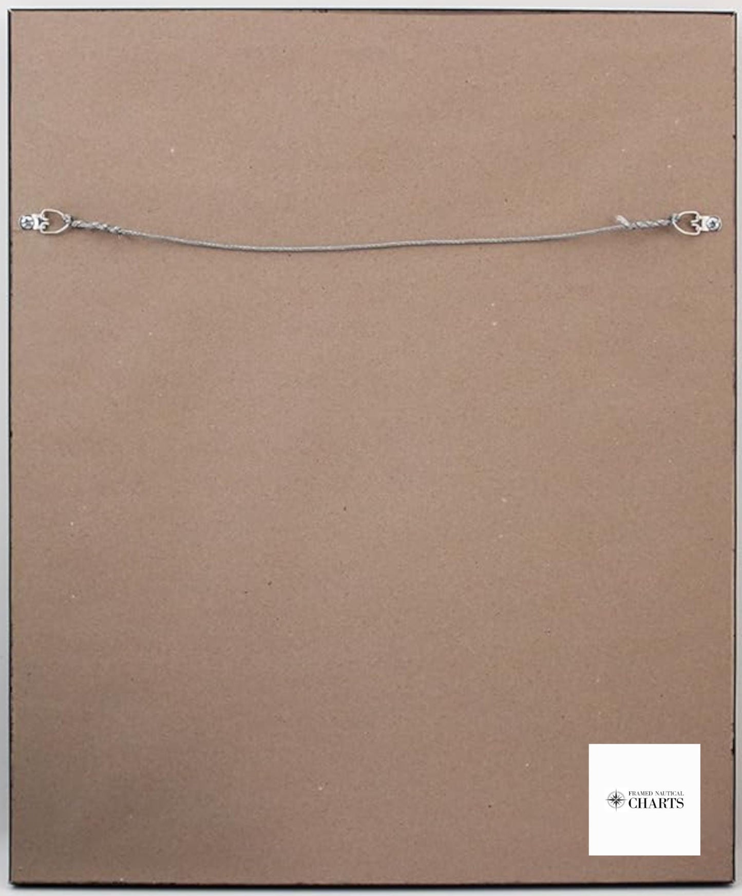
This nautical map is elegantly presented in a solid wood frame and features a museum-quality print crafted from archival paper and inks, ensuring its longevity. The chart is enhanced by a black mat and protected by a glass front, making it a visually striking addition to any decor. The back is finished with a paper duster for a polished look, and a wire hanger is included for easy installation.
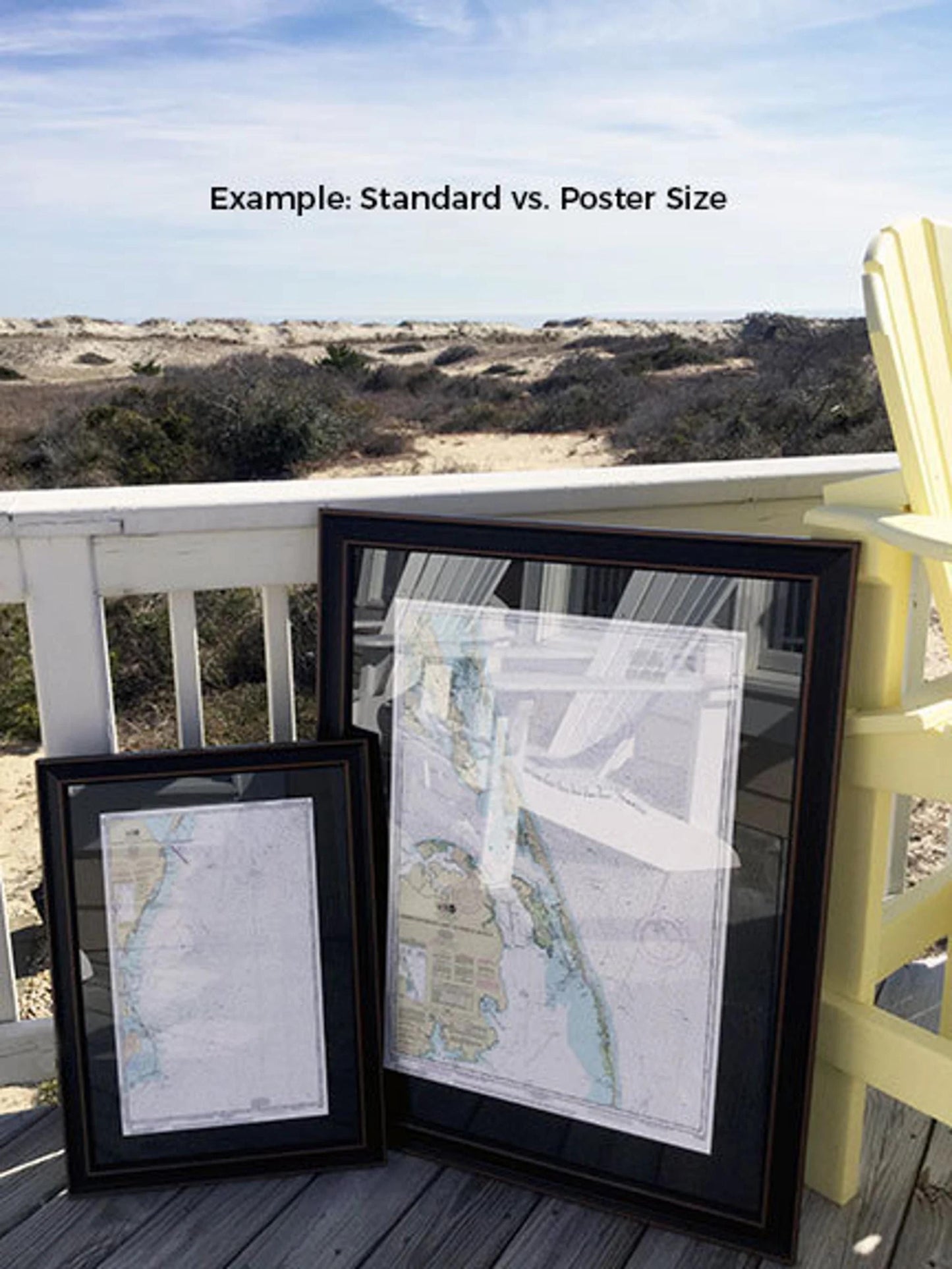
Choose from two frame sizes for your nautical chart:
-standard size with outer frame dimensions of approximately 19 1/4" W x 24" H
-poster size with outer frame dimensions measuring approximately 29" W x 36" H
If you have a specific frame style or size in mind, please do not hesitate to contact us with your preferences. We are more than happy to collaborate and create a custom piece that aligns with your vision.
*Important Shipping Note: We offer free ground shipping for orders within the contiguous 48 states. While we do not inflate shipping costs, please reach out for a custom shipping quote for orders going to Alaska or Hawaii, due to higher shipping fees.
Share