Framed Nautical Charts
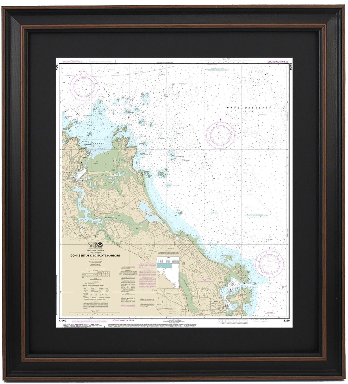
Framed Nautical Chart 13269 - Cohasset and Scituate Harbors. NOAA 13269. Handmade in the USA.
Framed Nautical Chart 13269 - Cohasset and Scituate Harbors. NOAA 13269. Handmade in the USA.
Couldn't load pickup availability
Discover the beauty of Cohasset and Scituate Harbors, Massachusetts, with this stunning Framed Nautical Map (NOAA Chart 13269). This official NOAA Nautical Chart beautifully depicts the coastal waters, offering detailed insights into Massachusetts Bay and surrounding towns and harbors. Each map is handcrafted in the USA, showcasing exceptional craftsmanship and attention to detail.
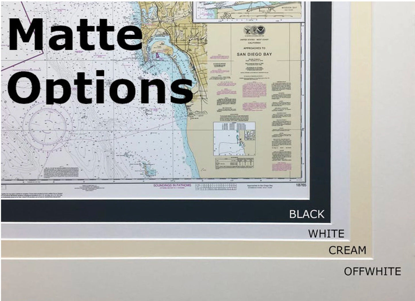
Carefully presented in a solid wood frame, this nautical chart features a museum-quality print made from archival paper and inks, ensuring its longevity and visual appeal. The design includes a sophisticated black mat and is protected by a durable glass front. The back is finished with a paper duster for a polished look, and a wire hanger is included for easy installation.
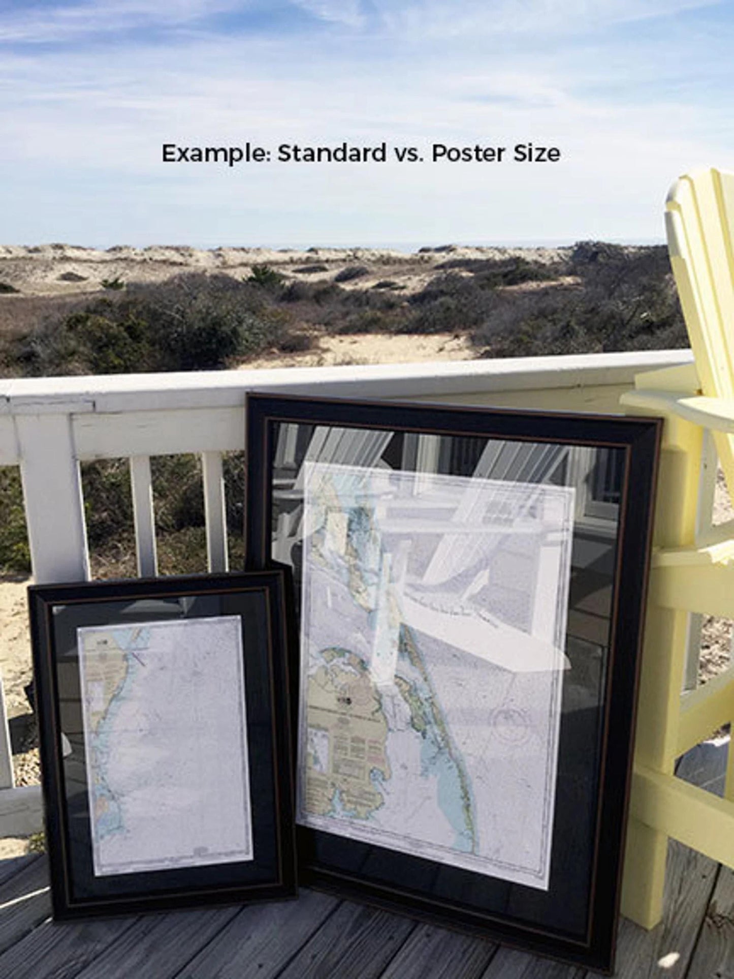
Choose from two frame sizes to find the perfect fit for your space:
- Standard size: Approx. 19 3/4" W x 24" H
- Poster size: Approx. 29 3/4" W x 36" H
If you’re interested in a custom frame option, please reach out to us with your specifications. We encourage you to share any sample photos to help us create your ideal vision.
*Important Shipping Note: We offer free ground shipping exclusively to the 48 contiguous states. While we do not inflate our shipping fees, shipping to Alaska and Hawaii incurs higher costs. For these areas, please contact us for a custom shipping quote.
Share