Framed Nautical Charts
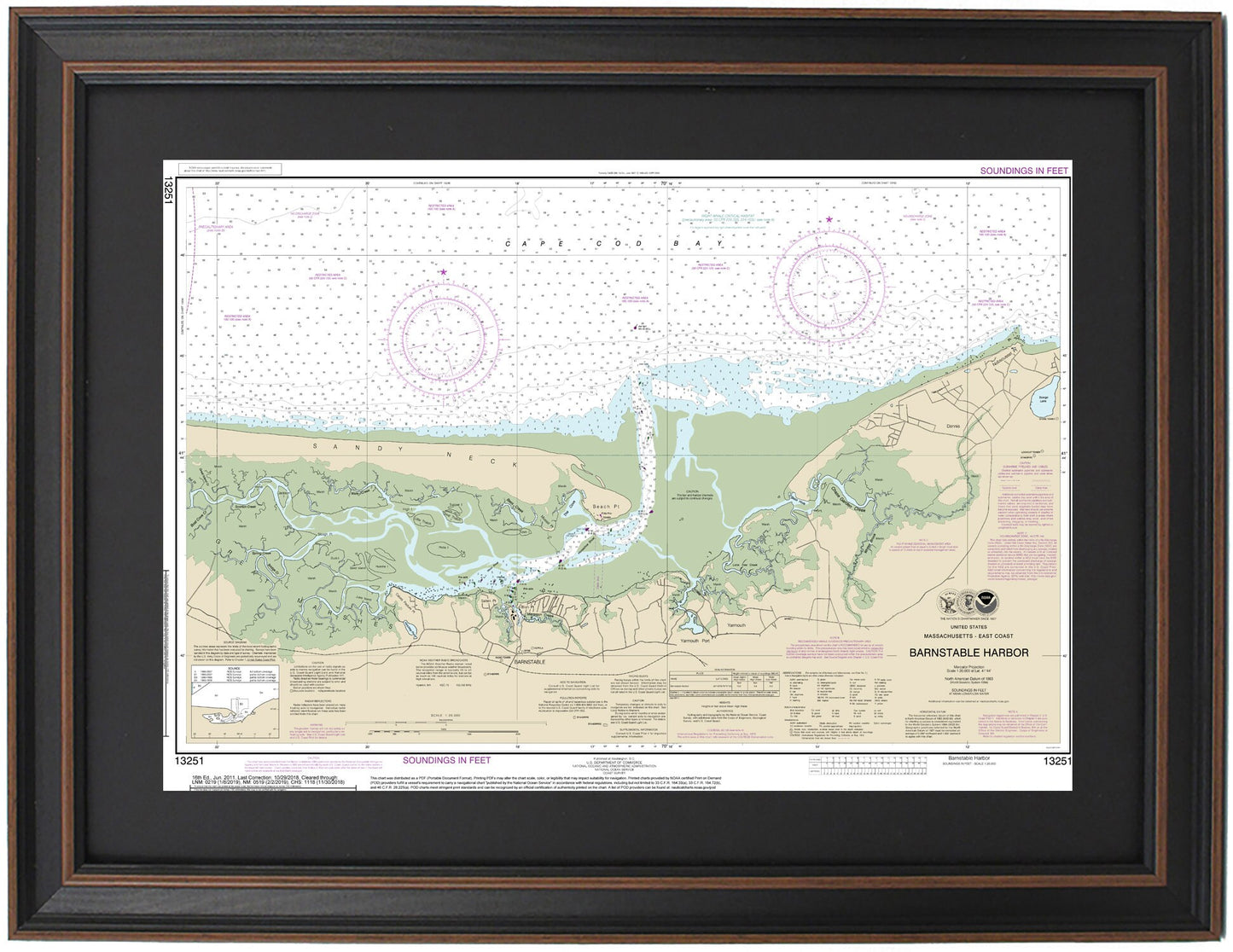
Framed Nautical Chart 13251 - Barnstable Harbor, MA. NOAA 13251. Handmade in the USA.
Framed Nautical Chart 13251 - Barnstable Harbor, MA. NOAA 13251. Handmade in the USA.
Couldn't load pickup availability
Discover the exquisite Framed Nautical Chart of Barnstable Harbor, Massachusetts (NOAA 13251). This meticulously crafted map showcases the stunning waters of Barnstable Harbor and nearby Cape Cod Bay, including the charming towns of Barnstable, Yarmouth, and Dennis. Each chart is custom handmade in the USA, reflecting our commitment to high-quality craftsmanship.
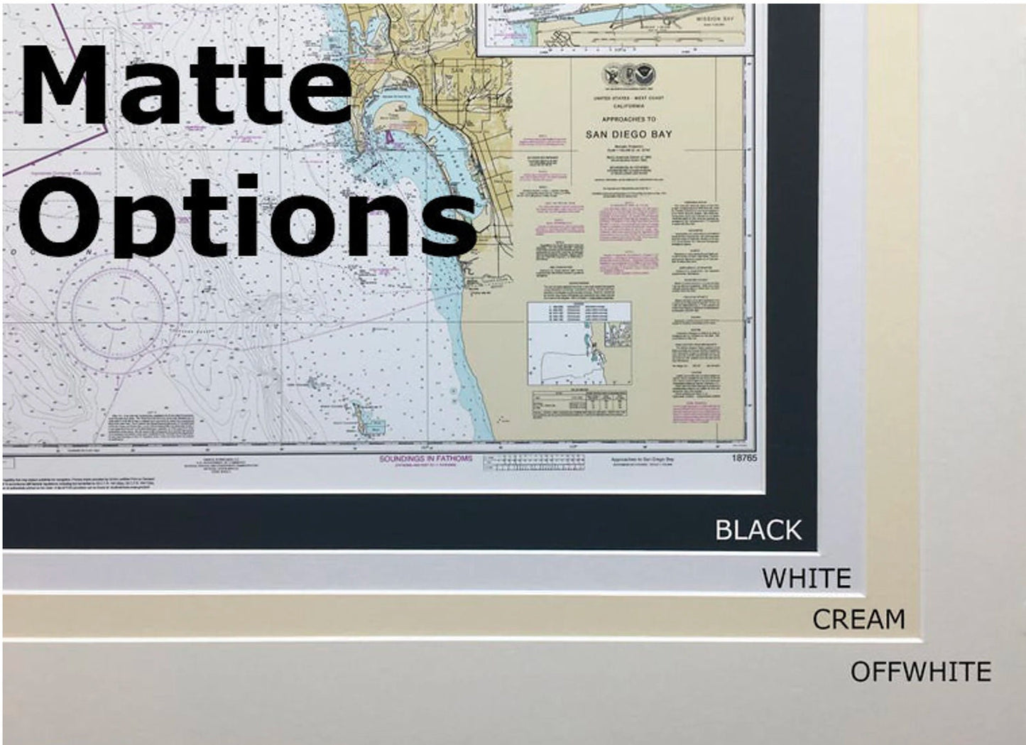
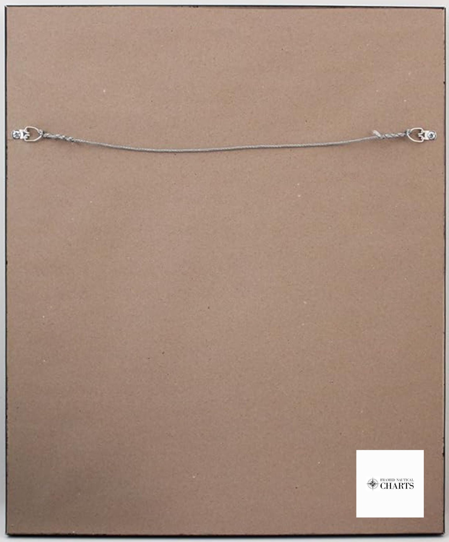
Presented in a solid wood frame, this nautical chart features a museum-quality print created from archival paper and inks, ensuring its longevity and visual appeal. The design includes a sleek black mat and is protected by a glass front, making it a perfect addition to any nautical-themed decor. The back of the frame is completed with a paper duster, and a wire hanger is included for easy installation.
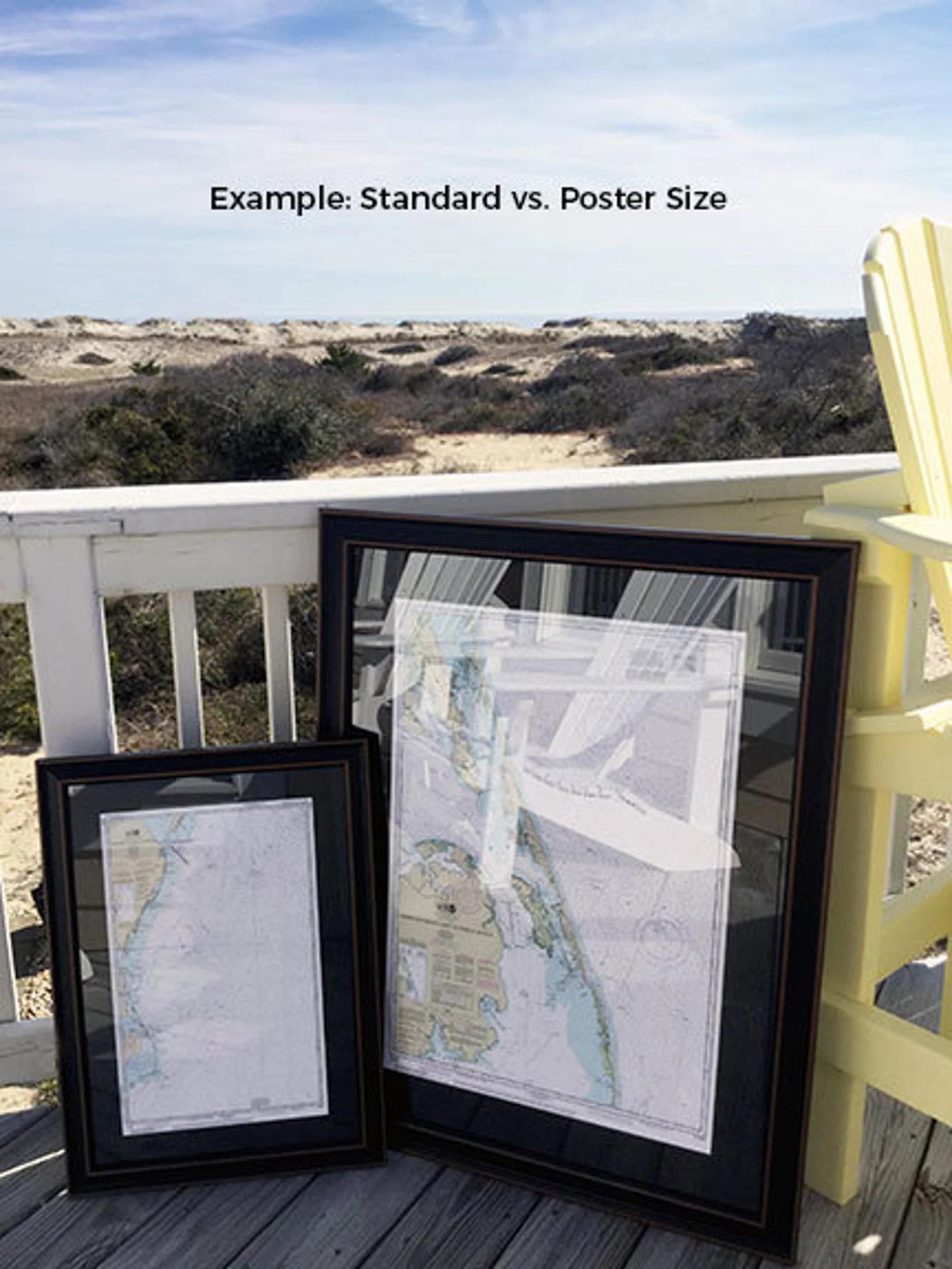
Available in two sizes, this framed map is perfect for any space:
- Standard size: Outer frame dimensions approximately 24" W x 16.5" H
- Poster size: Outer frame dimensions approximately 36" W x 25" H
If you have a specific frame option in mind, please feel free to contact us with your request. We’re happy to accommodate your vision, and we welcome sample photos to help us create your ideal piece.
*Important Shipping Note: Free ground shipping is available for shipments within the 48 contiguous states. We strive to keep shipping costs reasonable; however, for deliveries to Alaska and Hawaii, please contact us for a customized shipping quote.
Share