Framed Nautical Charts
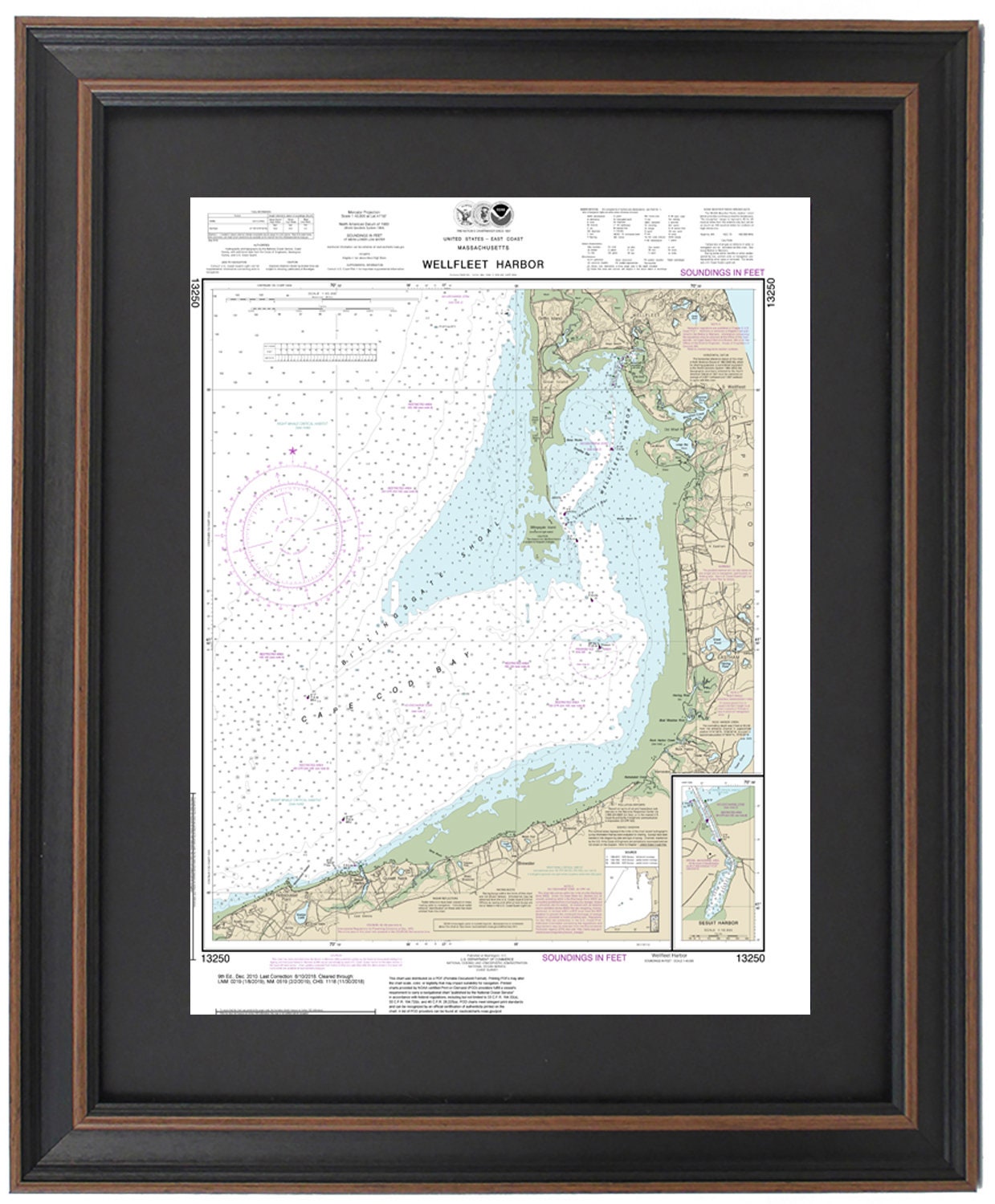
Framed Nautical Chart 13250 - Wellfleet Harbor, MA. NOAA 13250. Handmade in the USA.
Framed Nautical Chart 13250 - Wellfleet Harbor, MA. NOAA 13250. Handmade in the USA.
Couldn't load pickup availability
Discover the stunning beauty of Wellfleet Harbor, MA, with this meticulously crafted Framed Nautical Chart 13250. This officially recognized NOAA Nautical Chart provides an intricate depiction of the tranquil waters surrounding Wellfleet Harbor and Cape Cod Bay, highlighting the charming towns and harbors, including Eastham, Wellfleet, Brewster, and North Dennis.
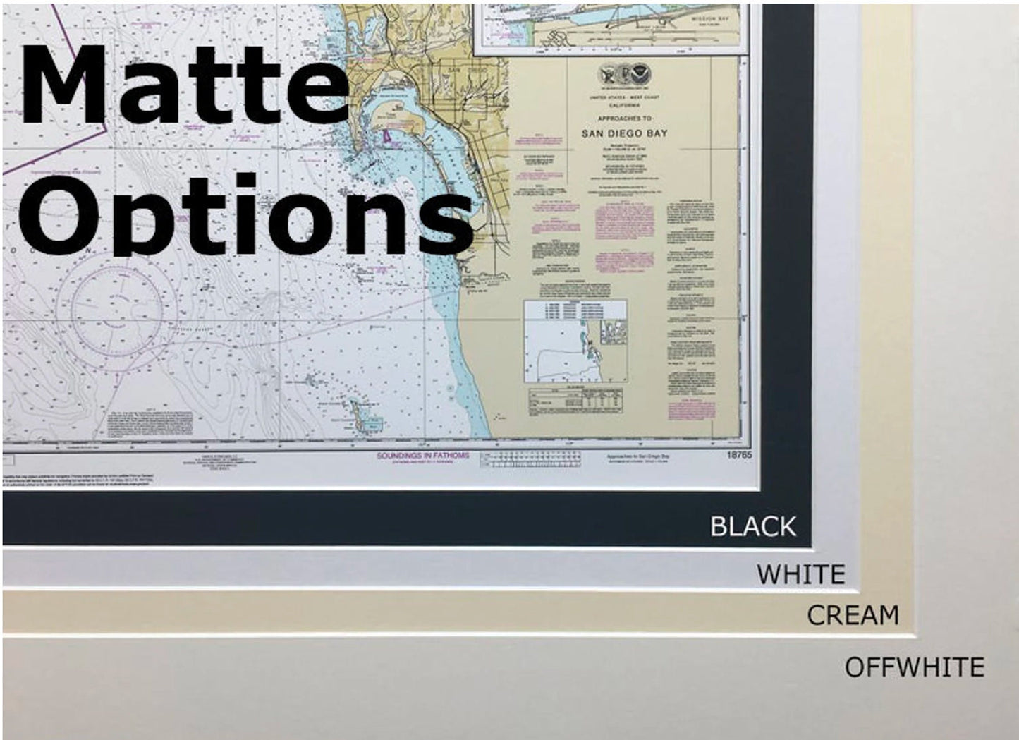
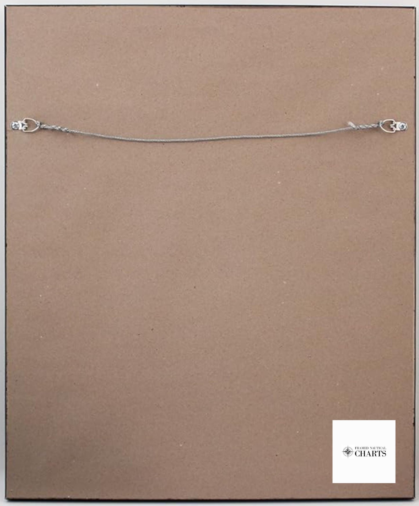
Handmade in the USA, each chart exemplifies exceptional craftsmanship and attention to detail. The nautical map is elegantly presented in a solid wood frame, showcasing a museum-quality print made from archival paper and inks. To enhance its aesthetic appeal, the chart is complemented by a sleek black mat and protected by a glass front. The back is elegantly finished with a paper duster, and a wire hanger is included for effortless installation.
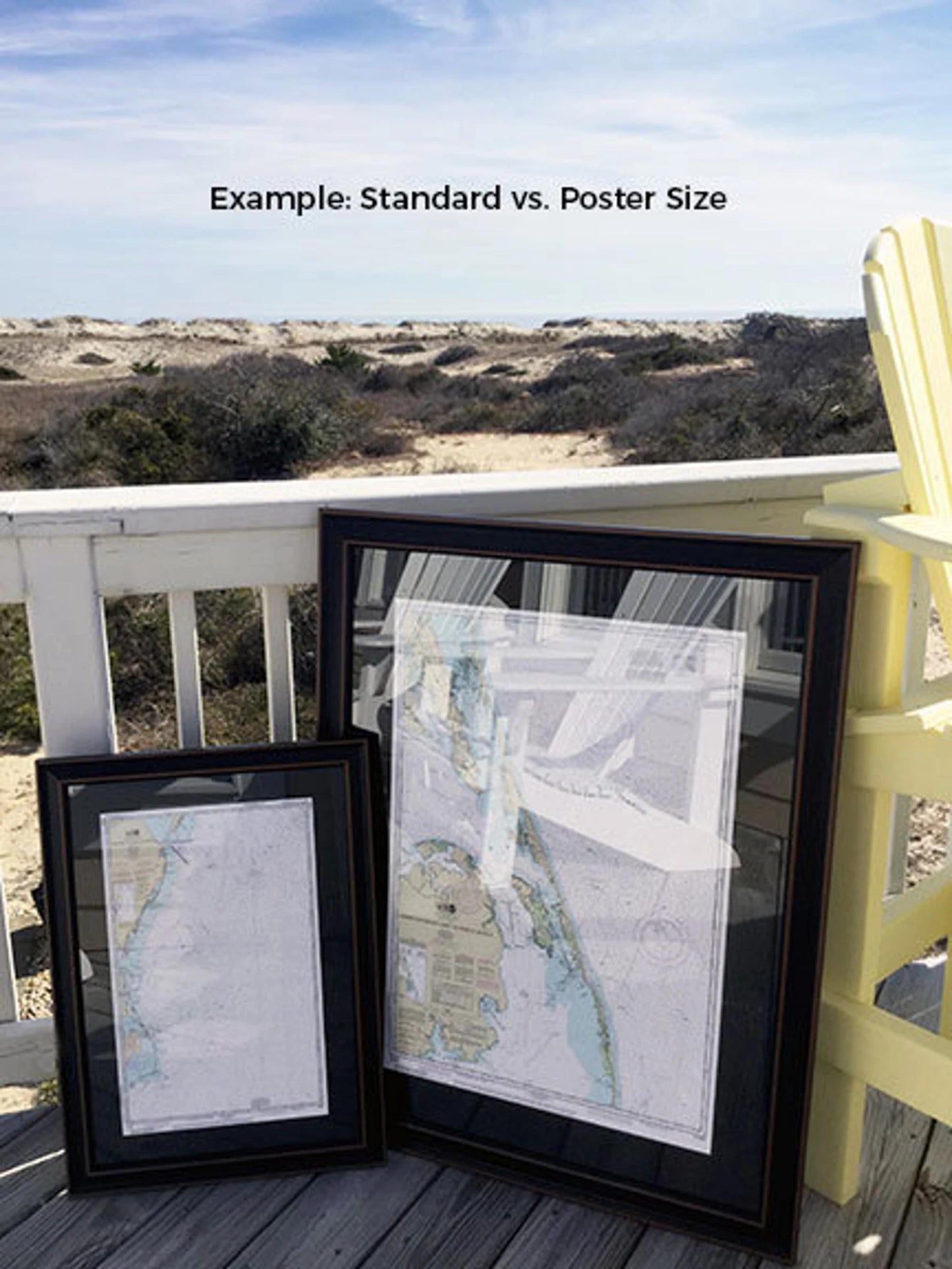
This beautiful framed chart is available in two sizes: the standard frame with outer dimensions approximately 19" W x 24" H, and the poster size with outer dimensions approximately 28 1/2" W x 36" H.
If you have a specific framing option in mind, please don’t hesitate to reach out. We appreciate any sample photos you may provide to help us create your perfect vision.
**Important Shipping Note:** Free ground shipping is available exclusively for orders within the 48 contiguous states. We strive to keep shipping costs reasonable. However, due to the high shipping expenses to Alaska and Hawaii, please contact us for a customized shipping quote. Experience the essence of coastal charm with this exquisite framed nautical chart!
Share