Framed Nautical Charts
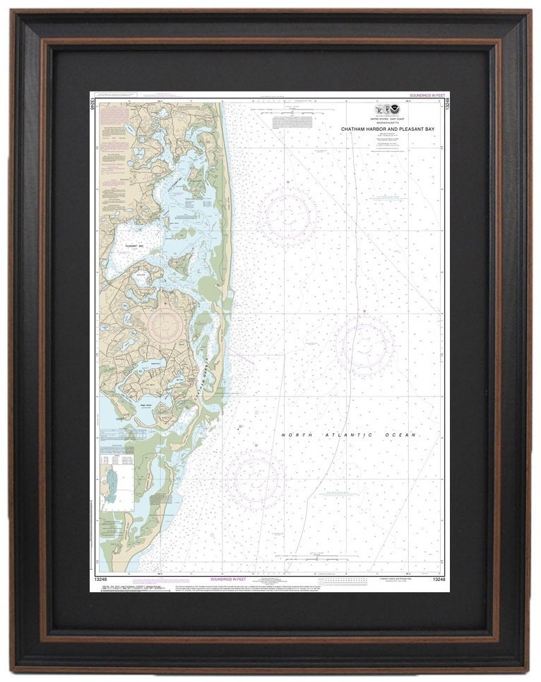
Framed Nautical Chart 13248 - Chatham Harbor and Pleasant Bay, MA. NOAA 13248. Handmade in the USA.
Framed Nautical Chart 13248 - Chatham Harbor and Pleasant Bay, MA. NOAA 13248. Handmade in the USA.
Couldn't load pickup availability
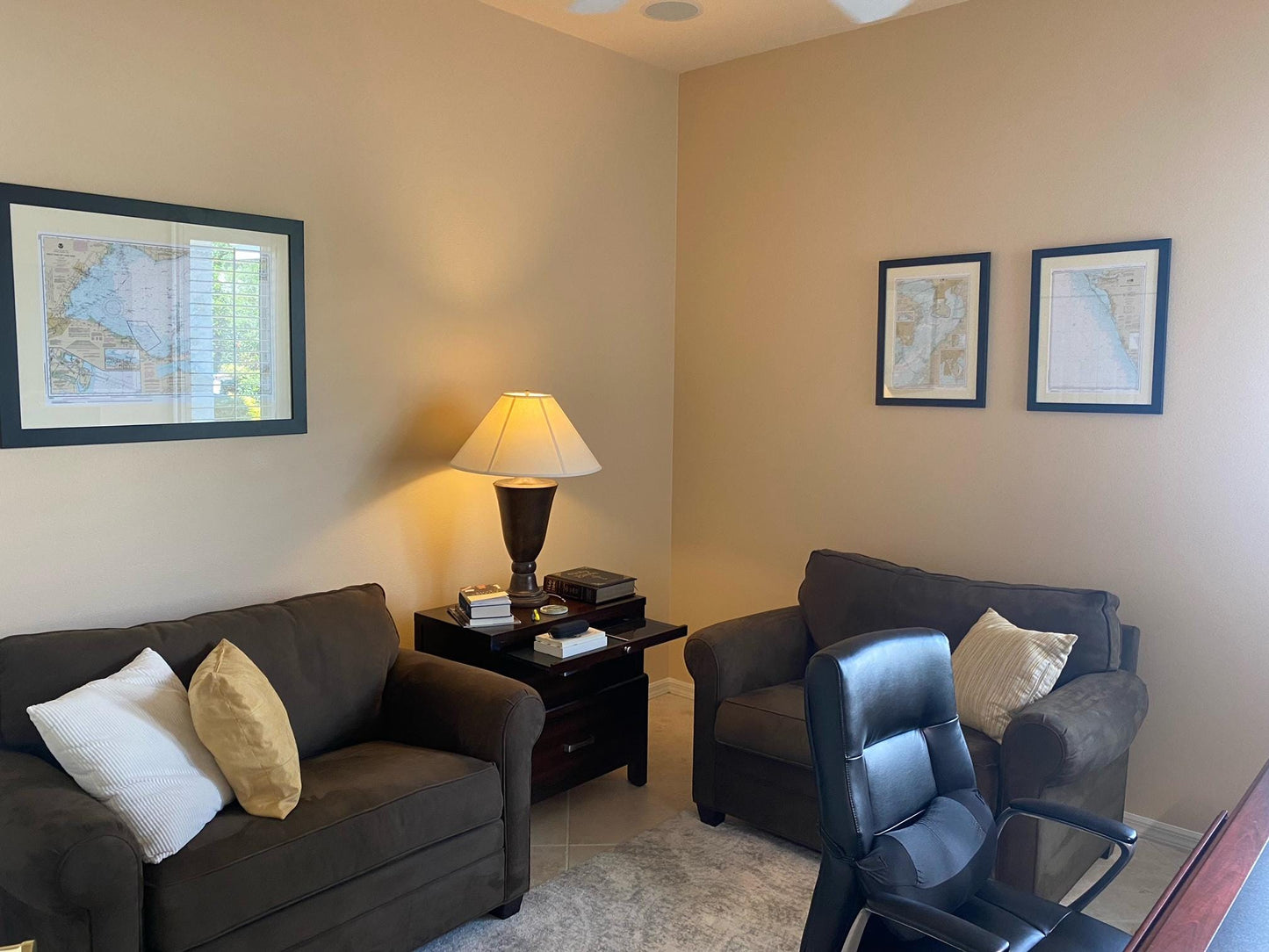
Discover the beauty of Chatham Harbor and Pleasant Bay, MA, with our exquisite Framed Nautical Chart 13248, crafted by NOAA. This detailed nautical map showcases the stunning waters of the region, making it a perfect piece for maritime enthusiasts and a unique addition to any home or office decor.
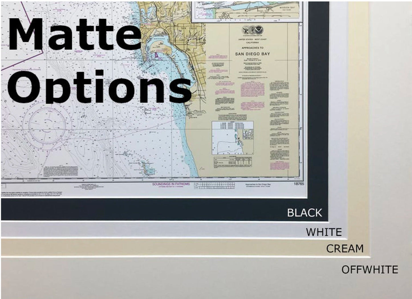
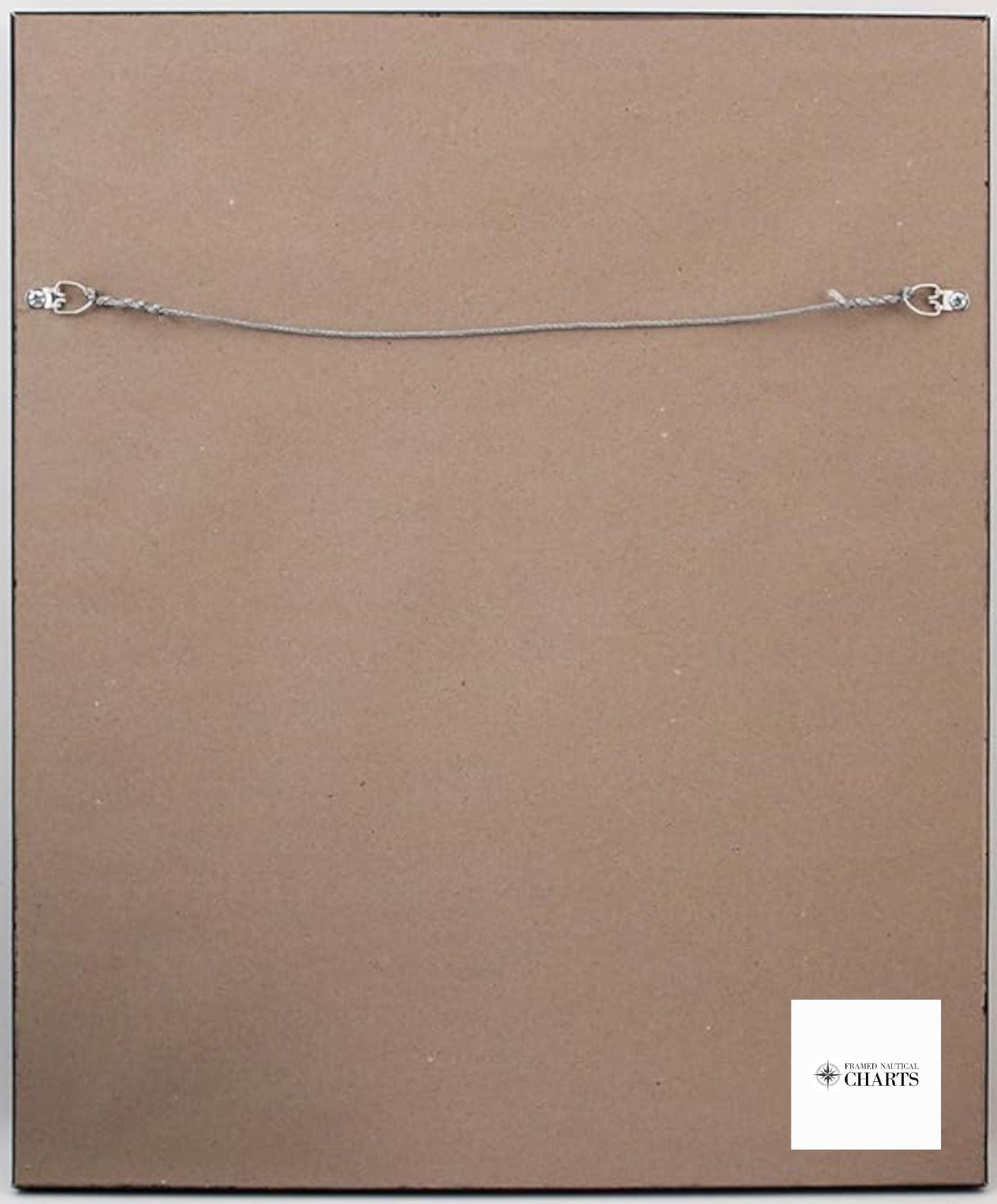
Each chart is meticulously handmade in the USA, ensuring exceptional quality and craftsmanship. It comes elegantly presented in a solid wood frame, featuring a museum-quality print produced on archival-grade paper using durable inks. The chart is enhanced by a classic black mat and protected by a glass front for lasting preservation. To further elevate its presentation, the back is finished with a paper duster, and it includes a convenient wire hanger for effortless installation.
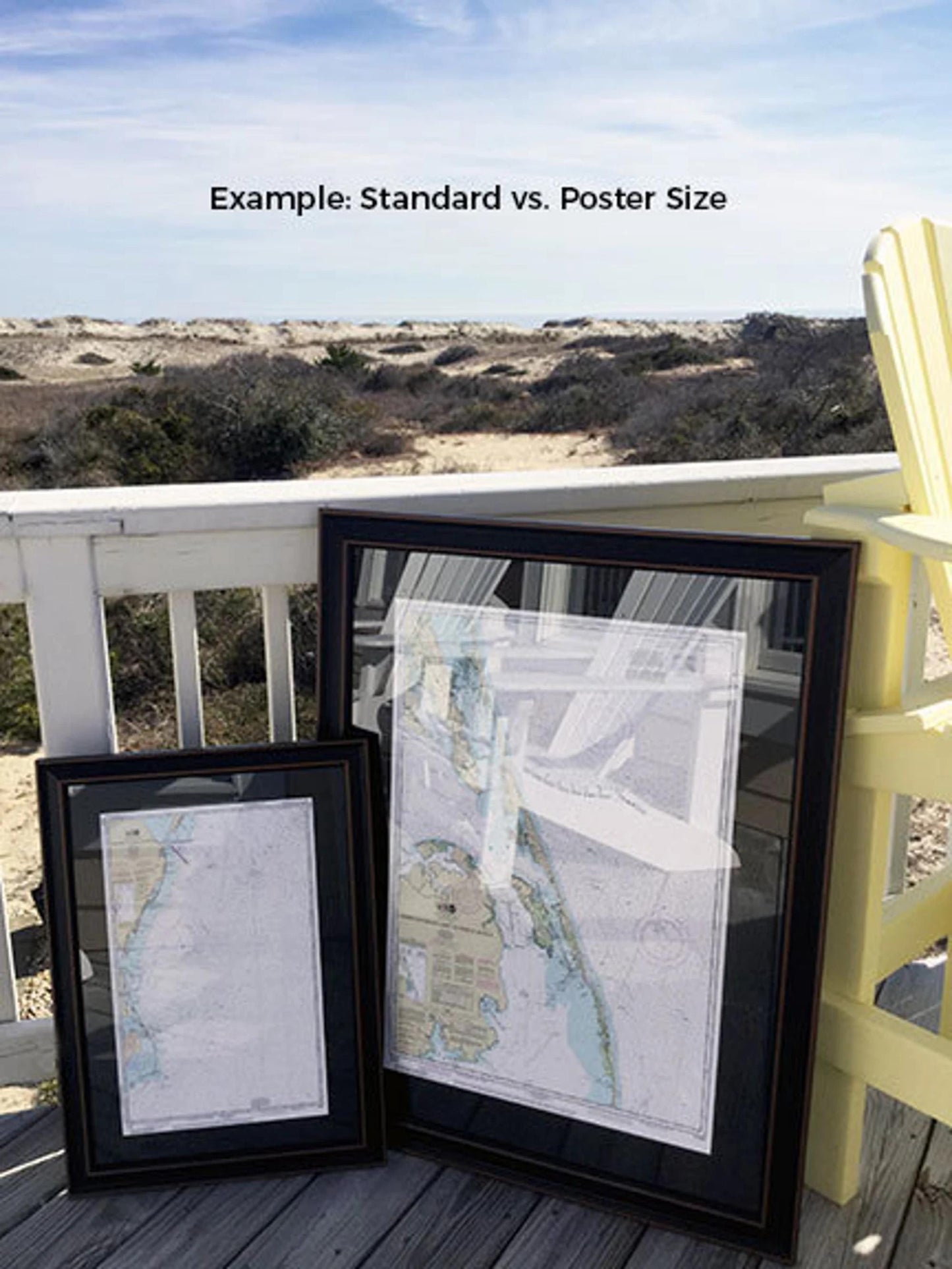
Available in two sizes, the framed chart offers versatility for your space:
-standard size has outer frame dimensions of approximately 17 1/4" W x 24" H
-poster size as outer frame dimensions of approximately 26" W x 36" H
If you are seeking a different framing option, please don’t hesitate to contact us with your request. We are happy to work with you to create a custom design that perfectly matches your vision.
**Important Shipping Note:** Enjoy free ground shipping on orders to the 48 contiguous states. We pride ourselves on not inflating shipping costs; however, due to the elevated shipping rates to Alaska and Hawaii, please reach out for a personalized shipping quote.
Share