Framed Nautical Charts
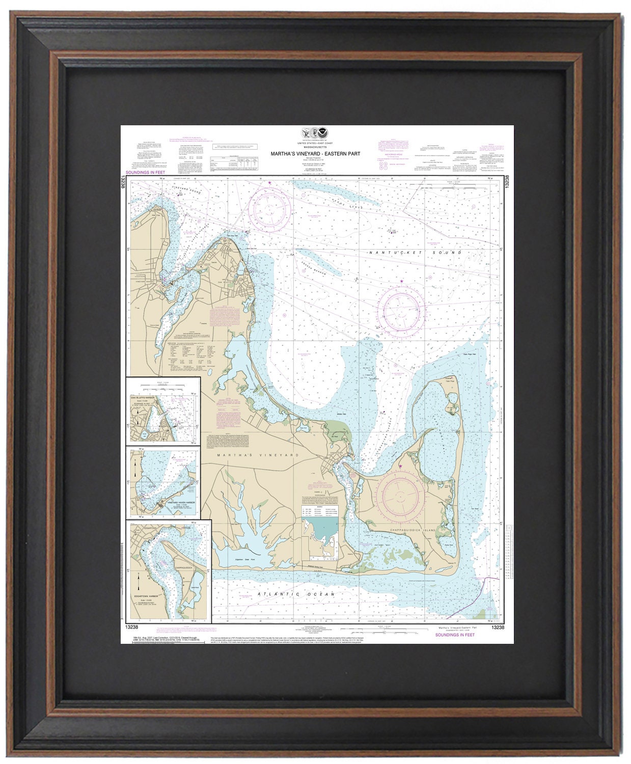
Framed Nautical Chart 13238 - Martha's Vineyard (Eastern Part). NOAA 13238. Handmade in the USA.
Framed Nautical Chart 13238 - Martha's Vineyard (Eastern Part). NOAA 13238. Handmade in the USA.
Couldn't load pickup availability
Discover the beauty of Martha's Vineyard with this exquisite framed nautical chart, which captures the stunning eastern waters and coastline in intricate detail. This officially licensed NOAA nautical chart features key locations such as Vineyard Haven Harbor, Oak Bluffs, Edgartown, Edgartown Harbor, Cape Poge Bay, Chappaquiddick Island, Vineyard Sound, and various other charming towns and harbors.
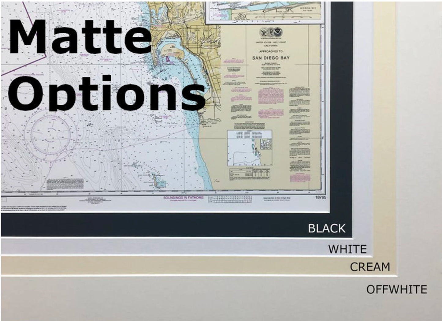
Each chart is meticulously handmade in the USA, showcasing exceptional craftsmanship. Presented in a solid wood frame, it features a museum-quality print crafted from archival paper and inks, ensuring long-lasting vibrancy. The chart is enhanced by a classic black mat and protected with a glass front, while the back is elegantly finished with a paper duster for a polished look. A wire hanger is also included for easy installation.
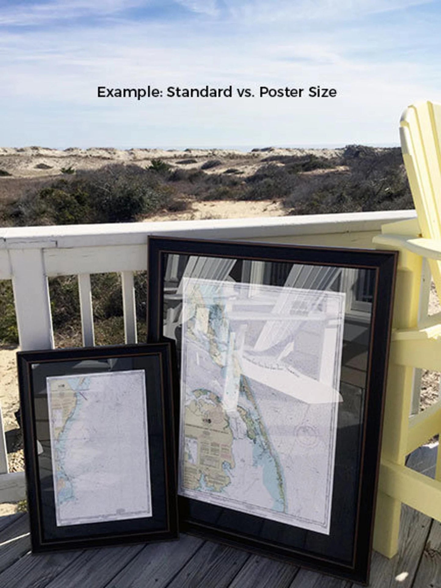
Frames are available in two convenient sizes:
- Standard size: Approx. 19" W x 24" H
- Poster size: Approx. 28 1/2" W x 36" H
If you're looking for a different frame option or have specific requirements, we encourage you to contact us with your requests. We appreciate any sample photos you have to help us create exactly what you envision.
*Important Shipping Note: Free ground shipping is available for shipments within the 48 contiguous states. We do not inflate shipping costs; however, due to higher shipping fees, we recommend contacting us for custom quotes for deliveries to Alaska and Hawaii.
Share