Framed Nautical Charts
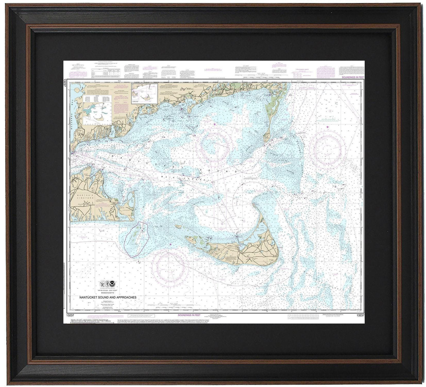
Framed Nautical Chart 13237 - Nantucket Sound, MA. NOAA 13237. Handmade in the USA.
Framed Nautical Chart 13237 - Nantucket Sound, MA. NOAA 13237. Handmade in the USA.
Couldn't load pickup availability
Discover the stunning Framed Nautical Chart 13237, capturing the picturesque waters of Nantucket Sound, MA. This official NOAA Nautical Chart beautifully illustrates the coastlines and harbors of the region, including Falmouth, Falmouth Harbor, Nantucket Island, Martha's Vineyard, Chatham Harbor, Monomoy Island, Buzzards Bay, and various other coastal towns.
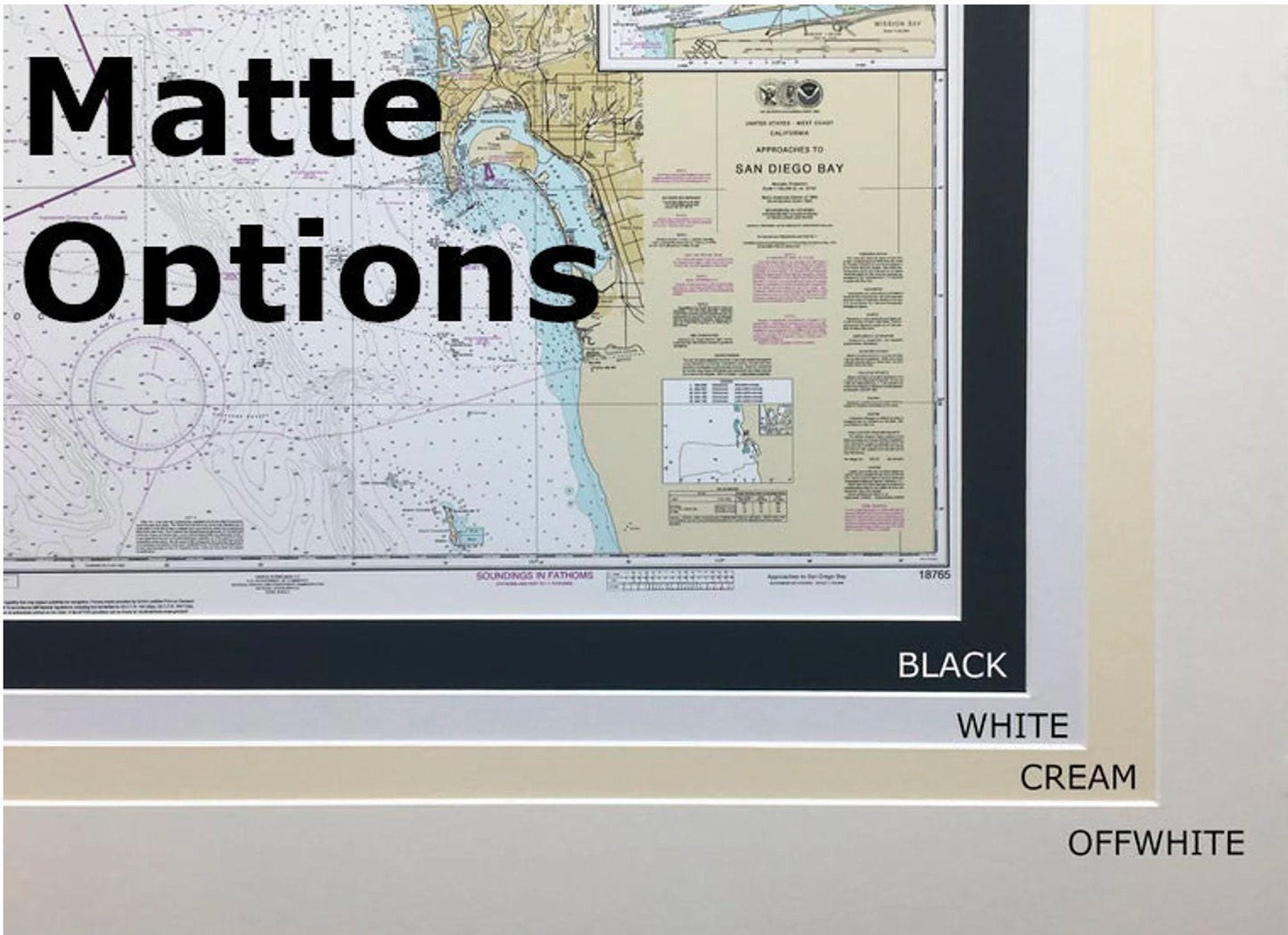
Each chart is meticulously handmade in the USA, showcasing exceptional craftsmanship. The map is elegantly presented in a solid wood frame, featuring a museum-quality print crafted from archival paper and inks, ensuring its longevity and vibrancy. It comes with a sleek black mat and is protected by a glass front, enhancing its visual appeal. The back is finished with a paper duster for a polished look, and a sturdy wire hanger is included for easy installation.
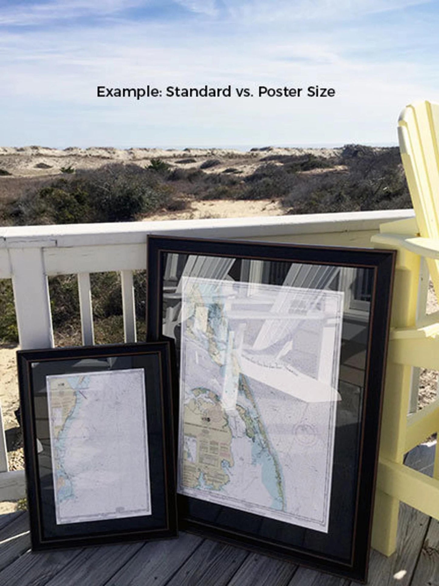
Available in two sizes, this beautiful framed chart can complement any space:
- Standard size: Approx. 18 3/4" H x 24" W
- Poster size: Approx. 29 3/4" H x 36" W
If you’re seeking a custom frame option, please don’t hesitate to reach out with your request. We welcome any sample photos you may have that can help us bring your vision to life.
*Important Shipping Note: Free ground shipping is available for orders shipped to the 48 contiguous states. While we do not mark up shipping costs, please contact us for custom quotes for shipments to Alaska and Hawaii due to the higher shipping rates.
Share