Framed Nautical Charts
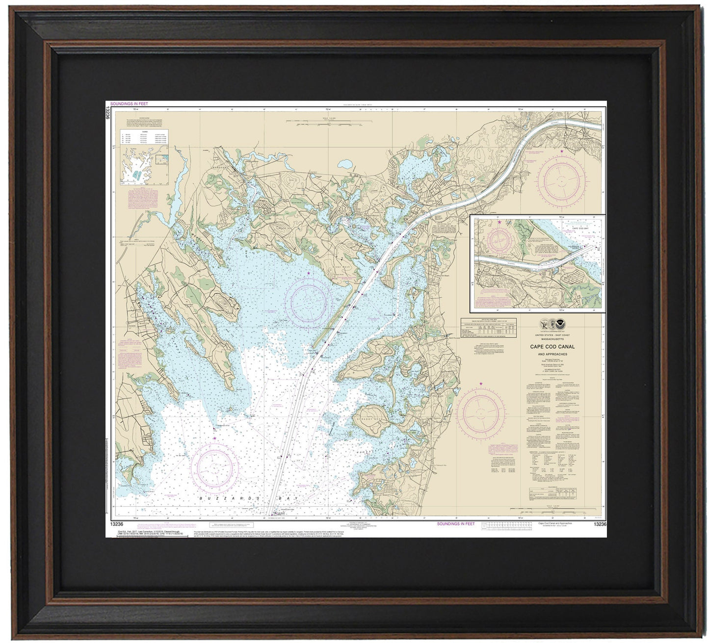
Framed Nautical Chart 13236 - Cape Cod Canal, MA. NOAA 13236. Handmade in the USA.
Framed Nautical Chart 13236 - Cape Cod Canal, MA. NOAA 13236. Handmade in the USA.
Couldn't load pickup availability
Discover the beauty of the Cape Cod Canal with this exquisite Framed Nautical Chart 13236, showcasing the stunning waters and coastline of this iconic Massachusetts region. This official NOAA Nautical Chart highlights key locations such as Marion, Wareham, Point Independence, Great Neck, Silver Beach, Scraggy Neck, Buzzards Bay, and other charming towns and harbors.
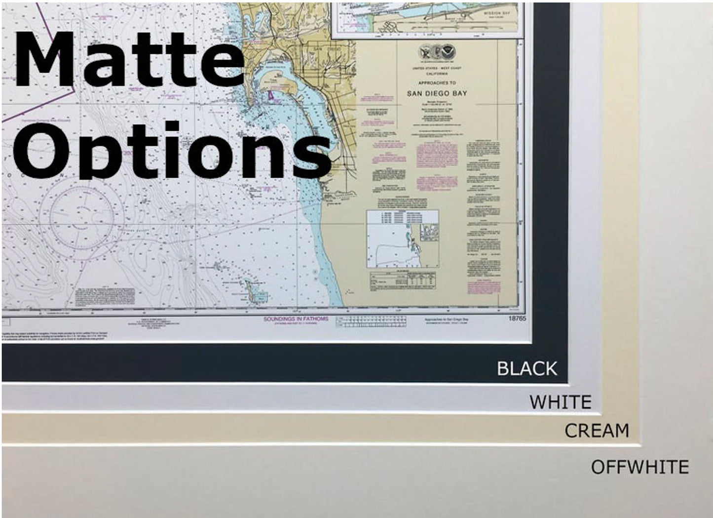
Each chart is meticulously handmade in the USA, embodying exceptional standards of craftsmanship. The nautical map is presented in a durable solid wood frame, featuring a museum-quality print made from archival paper and inks to ensure longevity. A black mat enhances the visual appeal, while a glass front protects the chart from dust and damage. The back of the frame is finished with a paper duster, and a wire hanger is included for easy installation.
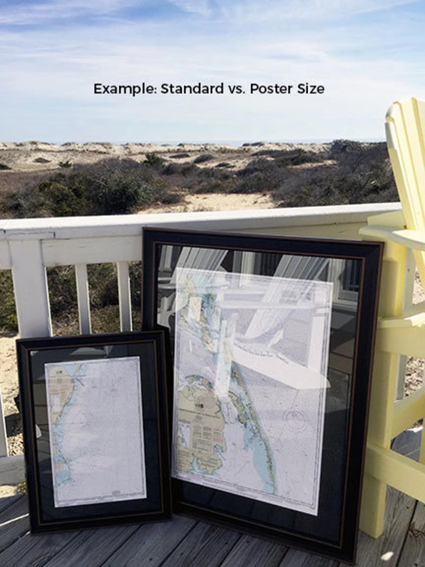
Choose from two sizes to suit your space:
- Standard size: Approx. 18 3/4" H x 24" W
- Poster size: Approx. 29 3/4" H x 36" W
If you have a specific framing option in mind, feel free to reach out to us with your request. We are happy to consider any sample photos to create exactly what you envision.
*Important Shipping Note: Free ground shipping is available for shipments to the 48 contiguous states. We do not mark up shipping costs; however, due to the high shipping expenses to Alaska and Hawaii, please contact us for a customized shipping quote.
Share