Framed Nautical Charts
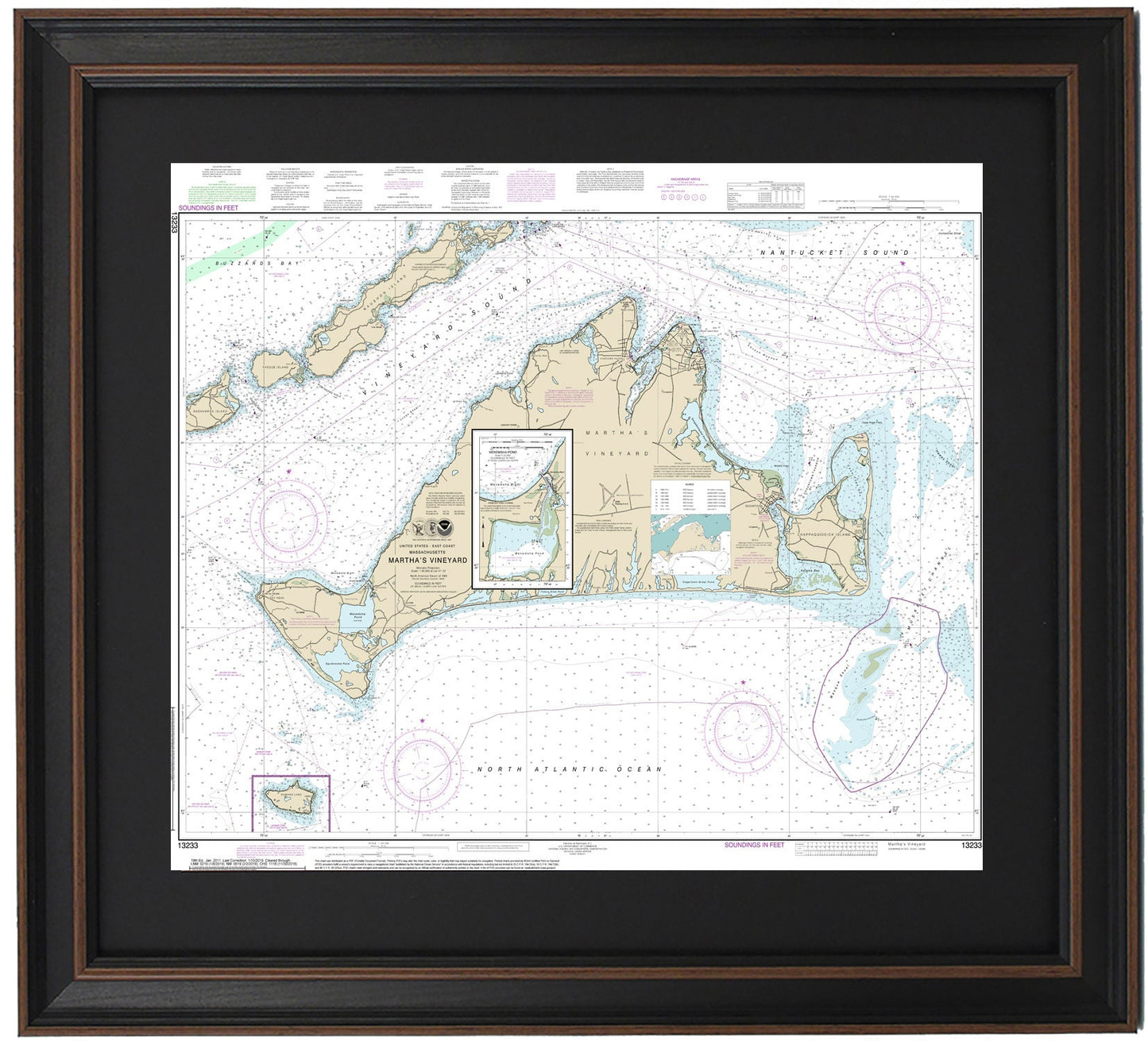
Framed Nautical Chart 13233 - Martha's Vineyard, MA. NOAA 13233. Handmade in the USA.
Framed Nautical Chart 13233 - Martha's Vineyard, MA. NOAA 13233. Handmade in the USA.
Couldn't load pickup availability
Discover the beauty of Martha's Vineyard, MA with our meticulously crafted Framed Nautical Chart 13233. This official NOAA Nautical Chart captures the stunning waters and coastlines surrounding Martha's Vineyard Island, including Nashawena Island, Pasque Island, Naushon Island, Nonameset Island, Buzzards Bay, Vineyard Sound, and various towns and harbors.
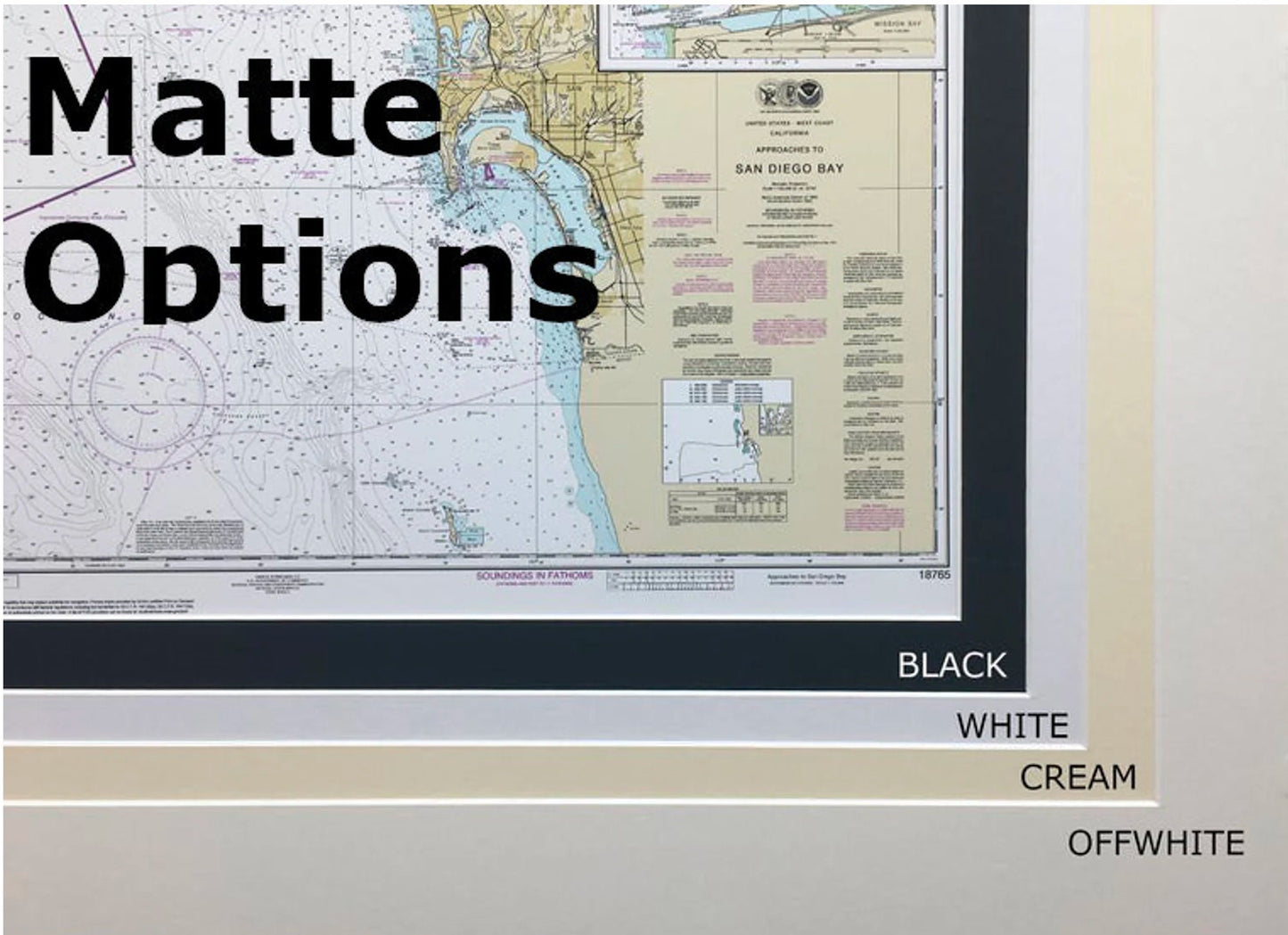
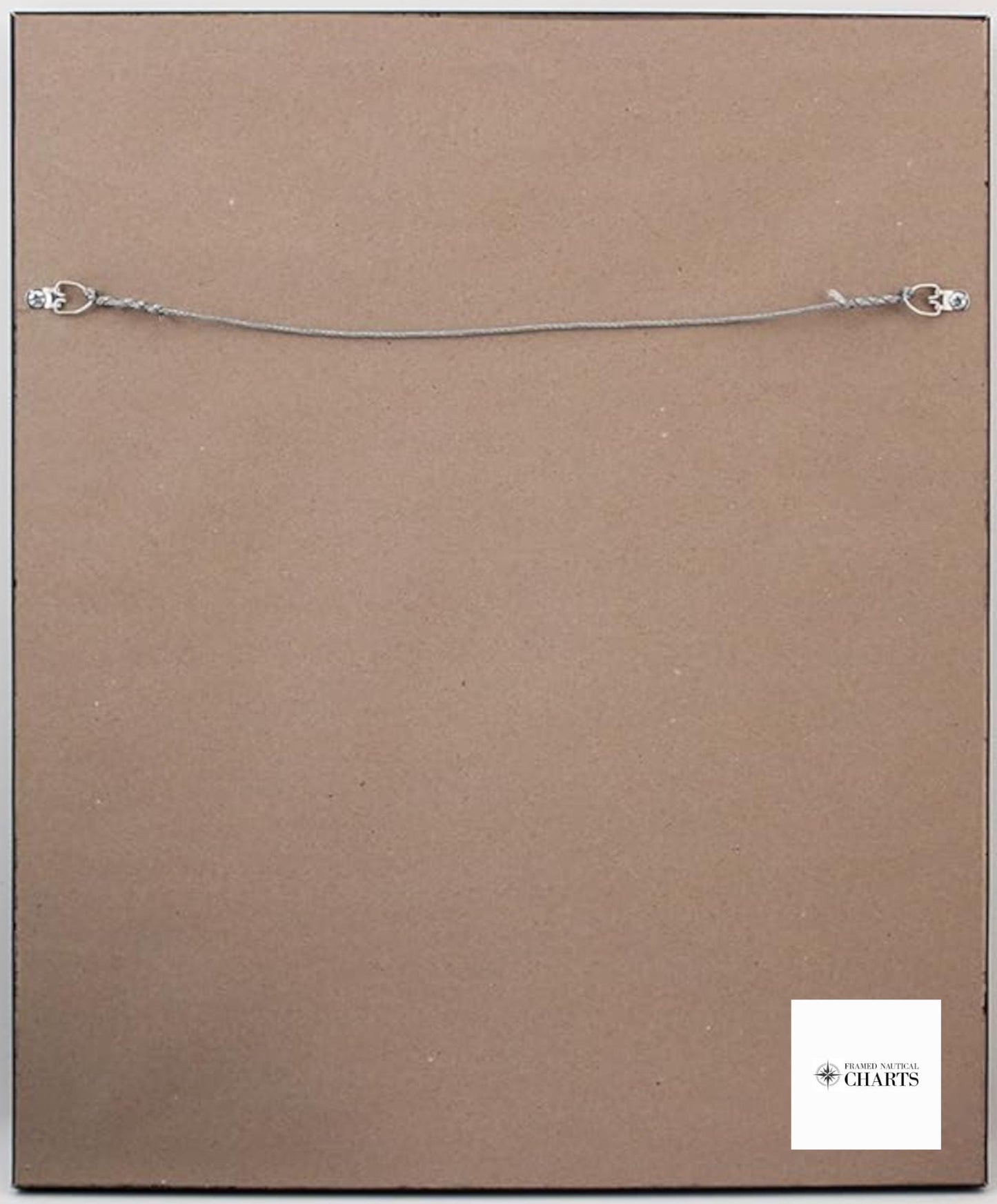
Each chart is custom handmade in the USA, showcasing exceptional craftsmanship. Presented in a solid wood frame, this nautical map features a museum-quality print produced on archival paper using premium inks. The chart is enhanced with a sleek black mat and protected by a glass front, ensuring durability and elegance. The back is expertly finished with a paper duster, and a wire hanger is included for easy installation.
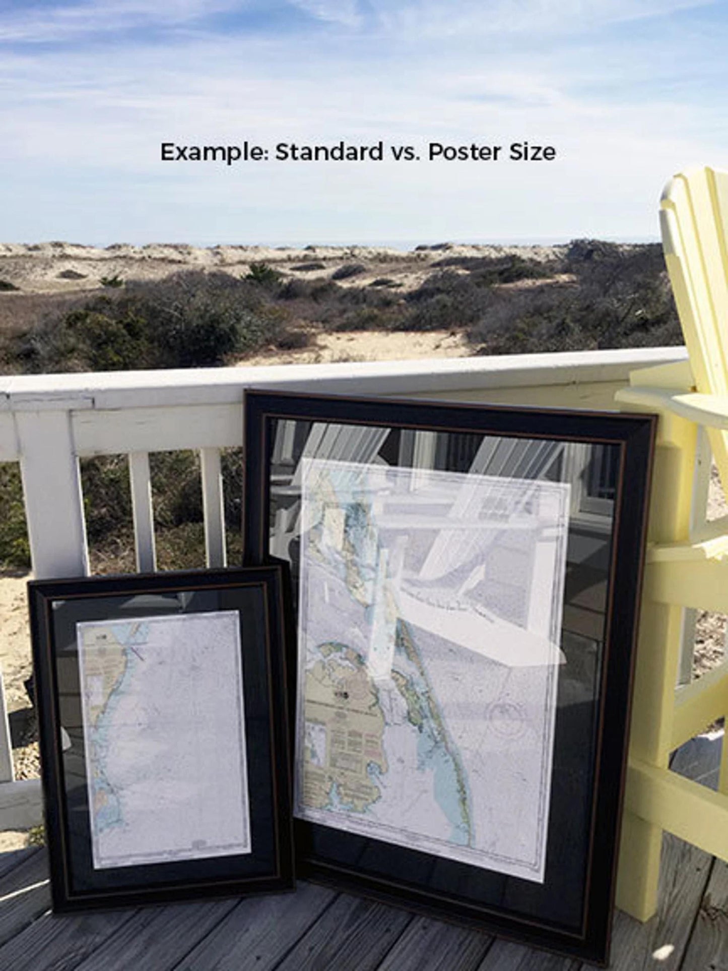
Our framed charts are available in two sizes:
-standard size with outer frame dimensions of approximately 19 3/4" H x 24" W
-poster size measuring approximately 29 1/2" H x 36" W
Enjoy complimentary ground shipping on your order within the 48 contiguous states. Please note that we do not inflate shipping costs; however, due to the high shipping expenses to Alaska and Hawaii, we recommend contacting us for a custom shipping quote.
If you're interested in a different frame option, we encourage you to reach out with your request. We are happy to collaborate with you and can work from any sample photos you have in mind to create the perfect piece for your space. Elevate your decor with this exquisite representation of Martha's Vineyard!
Share